St. Michael (Central Yupik: Taciq, Inupiaq: Tasiq; Taziq, Russian: Сент-Майкл), historically referred to as Saint Michael, is a city in Nome Census Area, Alaska. The population was 401 at the 2010 census, up from 368 in 2000.
| Name: | St. Michael city |
|---|---|
| LSAD Code: | 25 |
| LSAD Description: | city (suffix) |
| State: | Alaska |
| County: | Nome Census Area |
| Incorporated: | July 15, 1969 |
| Elevation: | 26 ft (8 m) |
| Total Area: | 28.06 sq mi (72.69 km²) |
| Land Area: | 21.75 sq mi (56.33 km²) |
| Water Area: | 6.32 sq mi (16.36 km²) |
| Total Population: | 456 |
| Population Density: | 20.97/sq mi (8.10/km²) |
| ZIP code: | 99659 |
| Area code: | 907 |
| FIPS code: | 0266360 |
| GNISfeature ID: | 1408977 |
Online Interactive Map
Click on ![]() to view map in "full screen" mode.
to view map in "full screen" mode.
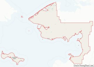
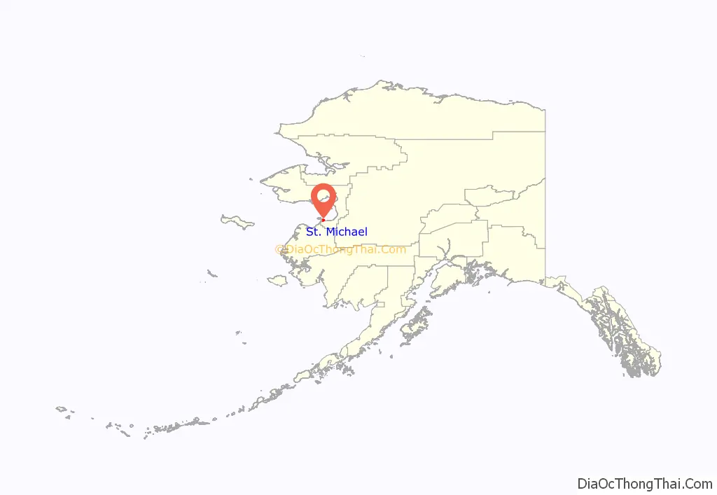
St. Michael location map. Where is St. Michael city?
History
Redoubt St. Michael was founded in 1833 by traders of the Russian-American Company, as a trading post for trade with the Yup’ik people of the area. The trading settlement and the island were named after the archangel Michael.
Fort St. Michael, a U.S. military post, was established in 1897. During the gold rush of 1897, it was a major gateway to the Alaskan interior via the Yukon River Delta (located about 40 miles (64 km) to the southwest). As many as 10,000 persons were said to live in St. Michael during the gold rush. St. Michael was also a popular trading post for Alaska Natives to trade their goods for Western supplies. Centralization of many Yup’iks from the surrounding villages intensified after the measles epidemic of 1900 and the influenza epidemic of 1918.
St. Michael’s population today is largely Yup’ik. Many residents are also descendants of the Russian traders.
St. Michael Road Map
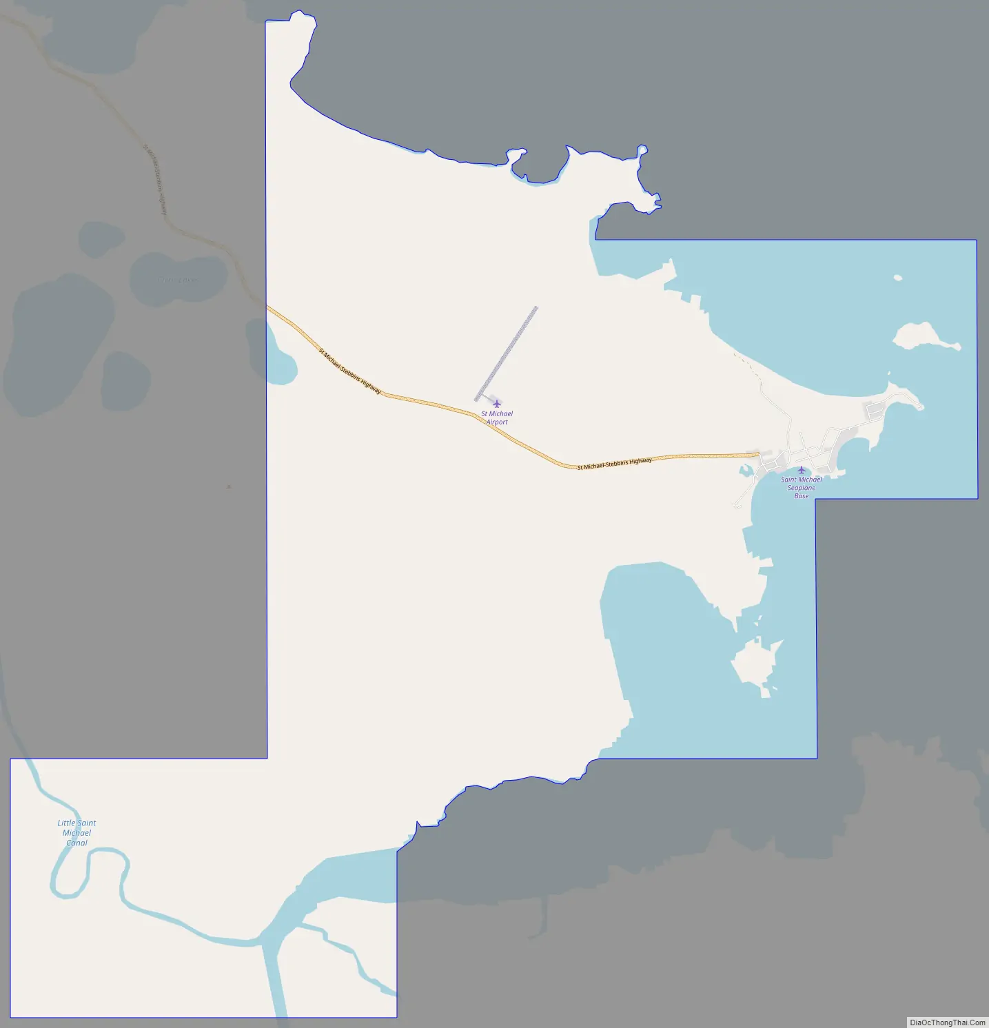
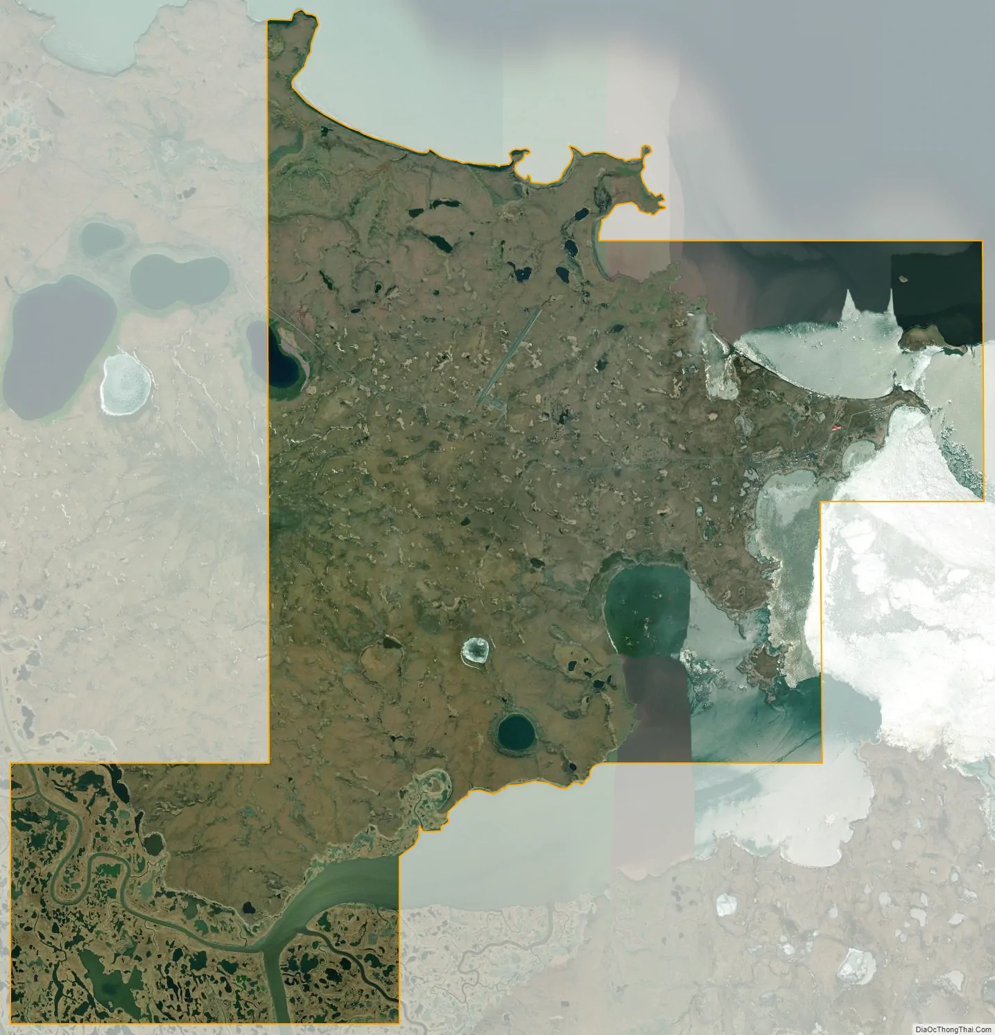
St. Michael city Satellite Map
Geography
St. Michael is located at 63°28′43″N 162°02′14″W / 63.478526°N 162.037123°W / 63.478526; -162.037123 on the east side of St. Michael Island at the southeastern end of the Norton Sound.
According to the United States Census Bureau, the city has a total area of 28.1 square miles (73 km), of which, 21.8 square miles (56 km) of it is land and 6.3 square miles (16 km) of it (22.40%) is water.
See also
Map of Alaska State and its subdivision:- Aleutians East
- Aleutians West
- Anchorage
- Bethel
- Bristol Bay
- Denali
- Dillingham
- Fairbanks North Star
- Haines
- Juneau
- Kenai Peninsula
- Ketchikan Gateway
- Kodiak Island
- Lake and Peninsula
- Matanuska-Susitna
- Nome
- North Slope
- Northwest Arctic
- Prince of Wales-Outer Ketchi
- Sitka
- Skagway-Yakutat-Angoon
- Southeast Fairbanks
- Valdez-Cordova
- Wade Hampton
- Wrangell-Petersburg
- Yukon-Koyukuk
- Alabama
- Alaska
- Arizona
- Arkansas
- California
- Colorado
- Connecticut
- Delaware
- District of Columbia
- Florida
- Georgia
- Hawaii
- Idaho
- Illinois
- Indiana
- Iowa
- Kansas
- Kentucky
- Louisiana
- Maine
- Maryland
- Massachusetts
- Michigan
- Minnesota
- Mississippi
- Missouri
- Montana
- Nebraska
- Nevada
- New Hampshire
- New Jersey
- New Mexico
- New York
- North Carolina
- North Dakota
- Ohio
- Oklahoma
- Oregon
- Pennsylvania
- Rhode Island
- South Carolina
- South Dakota
- Tennessee
- Texas
- Utah
- Vermont
- Virginia
- Washington
- West Virginia
- Wisconsin
- Wyoming