Stebbins (Central Yupik: Tapraq, Inupiaq: Tapqaq; Atqa.wik) is a city in Nome Census Area, Alaska, United States. At the 2010 census the population was 556, up from 547 in 2000.
| Name: | Stebbins city |
|---|---|
| LSAD Code: | 25 |
| LSAD Description: | city (suffix) |
| State: | Alaska |
| County: | Nome Census Area |
| Incorporated: | July 15, 1969 |
| Elevation: | 16 ft (5 m) |
| Total Area: | 34.13 sq mi (88.39 km²) |
| Land Area: | 32.61 sq mi (84.45 km²) |
| Water Area: | 1.52 sq mi (3.94 km²) |
| Total Population: | 634 |
| Population Density: | 19.44/sq mi (7.51/km²) |
| ZIP code: | 99671 |
| Area code: | 907 |
| FIPS code: | 0272960 |
| GNISfeature ID: | 1410158 |
Online Interactive Map
Click on ![]() to view map in "full screen" mode.
to view map in "full screen" mode.
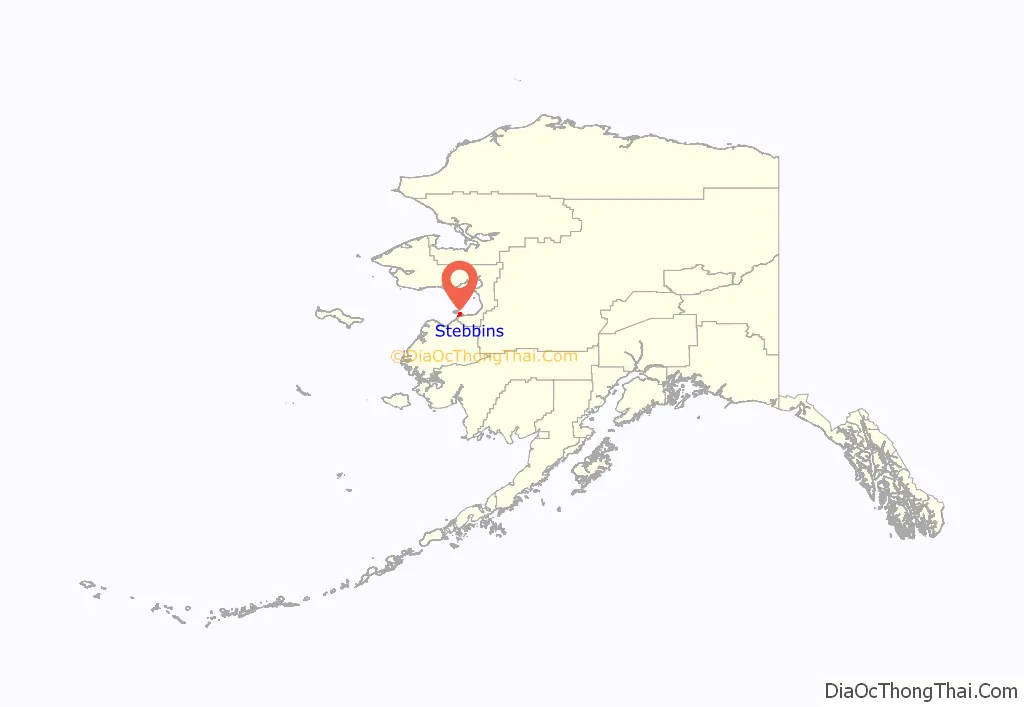
Stebbins location map. Where is Stebbins city?
History
A Russian fort, Redoubt St. Michael, was built at nearby St. Michael by the Russian-American Company in 1833. The name Stebbins was first recorded in 1900; the Yupik name for the village is Tapraq. The first census in the area, in 1950, listed 80 Yupiks residing in Stebbins. The city was incorporated in 1969.
The Stebbins economy depends on commercial fishing, for herring and other fish, and subsistence fishing, gardening and hunting, supplemented by part-time wage earnings. Hunting is for seal, walrus, caribou, and beluga whale. The city government and school of about 200 students provide the only full-time positions.
The Stebbins/St. Michael Reindeer Corral Project was completed in 1993 for a herd on Stuart Island, just north of Stebbins. The reindeer are currently unmanaged.
Stebbins Road Map
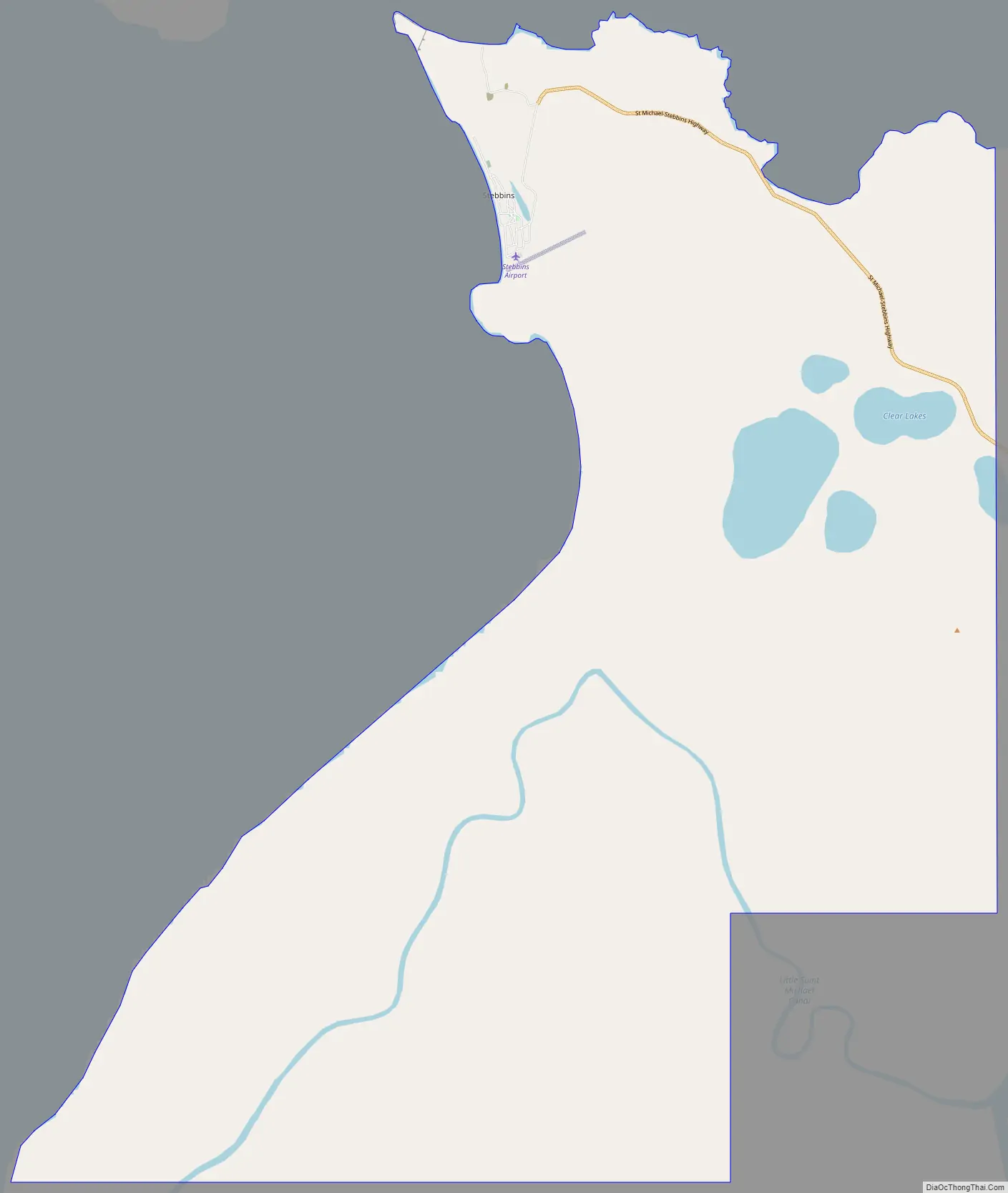
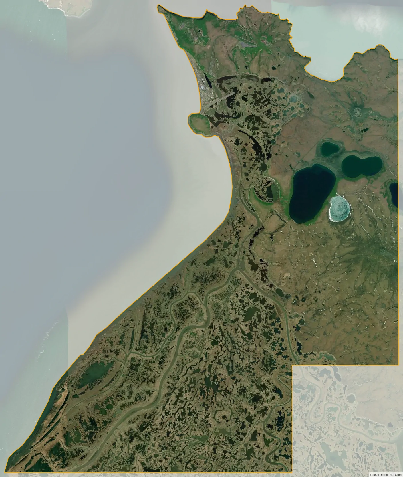
Stebbins city Satellite Map
Geography
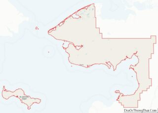
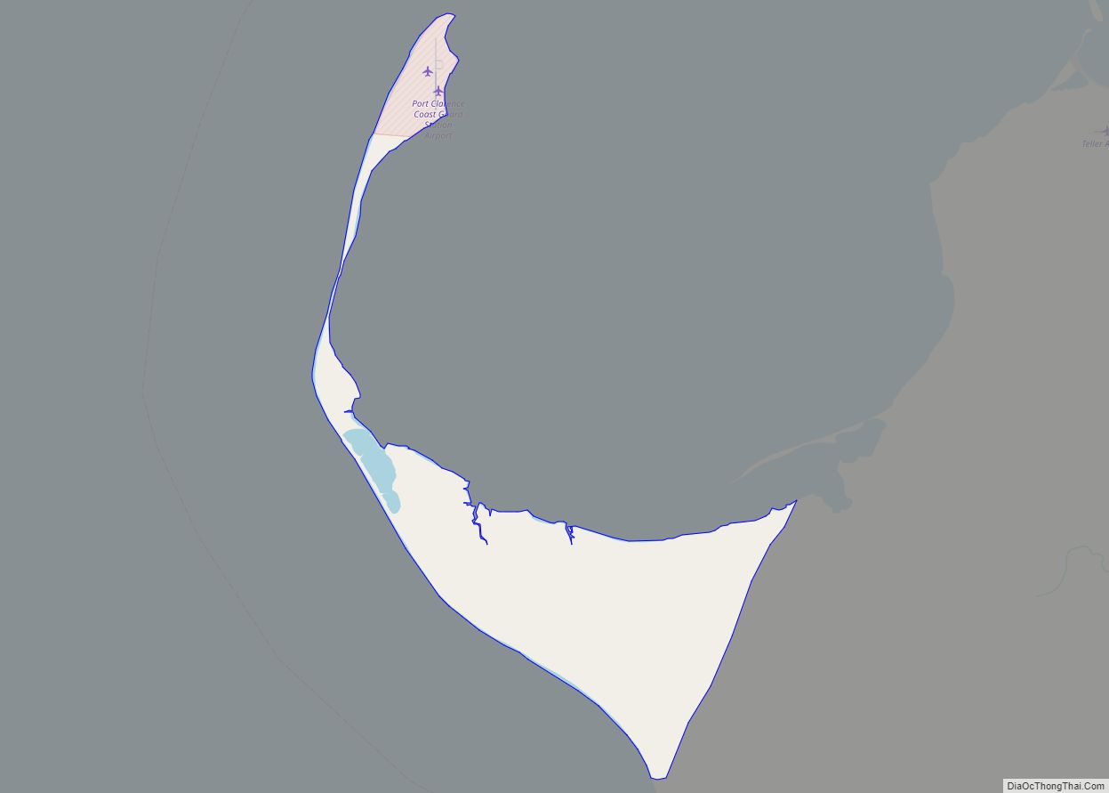
Stebbins is located at 63°30′43″N 162°16′29″W / 63.51194°N 162.27472°W / 63.51194; -162.27472 (63.511893, -162.274632), on the north side of St. Michael Island, which is on the south side of the Norton Sound in western Alaska.
According to the United States Census Bureau, the city has a total area of 36.9 square miles (96 km), of which, 35.2 square miles (91 km) of it is land and 1.7 square miles (4.4 km) of it (4.71%) is water.
See also
Map of Alaska State and its subdivision:- Aleutians East
- Aleutians West
- Anchorage
- Bethel
- Bristol Bay
- Denali
- Dillingham
- Fairbanks North Star
- Haines
- Juneau
- Kenai Peninsula
- Ketchikan Gateway
- Kodiak Island
- Lake and Peninsula
- Matanuska-Susitna
- Nome
- North Slope
- Northwest Arctic
- Prince of Wales-Outer Ketchi
- Sitka
- Skagway-Yakutat-Angoon
- Southeast Fairbanks
- Valdez-Cordova
- Wade Hampton
- Wrangell-Petersburg
- Yukon-Koyukuk
- Alabama
- Alaska
- Arizona
- Arkansas
- California
- Colorado
- Connecticut
- Delaware
- District of Columbia
- Florida
- Georgia
- Hawaii
- Idaho
- Illinois
- Indiana
- Iowa
- Kansas
- Kentucky
- Louisiana
- Maine
- Maryland
- Massachusetts
- Michigan
- Minnesota
- Mississippi
- Missouri
- Montana
- Nebraska
- Nevada
- New Hampshire
- New Jersey
- New Mexico
- New York
- North Carolina
- North Dakota
- Ohio
- Oklahoma
- Oregon
- Pennsylvania
- Rhode Island
- South Carolina
- South Dakota
- Tennessee
- Texas
- Utah
- Vermont
- Virginia
- Washington
- West Virginia
- Wisconsin
- Wyoming