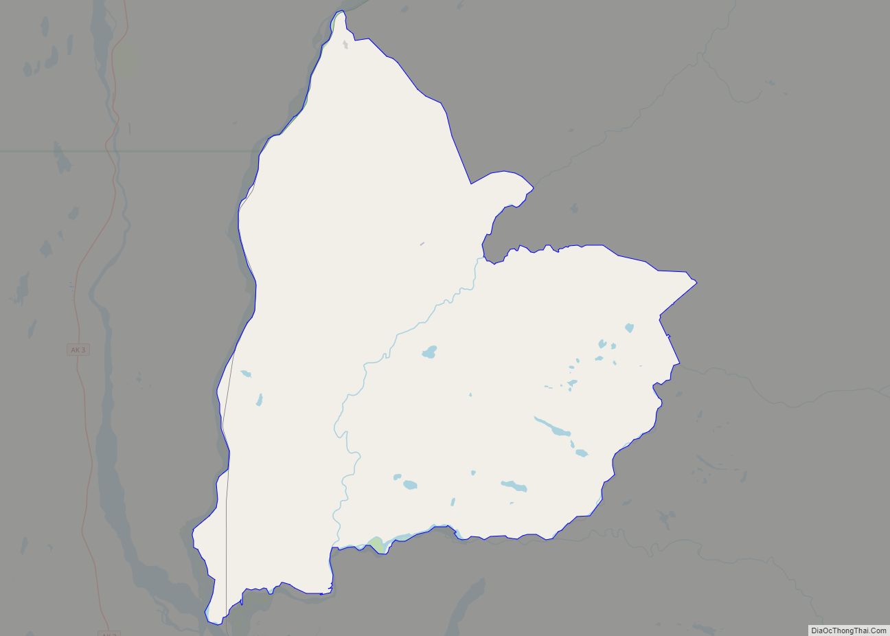
Susitna North is a census-designated place (CDP) in the Matanuska-Susitna Borough in the U.S. state of Alaska. It is part of the Anchorage, Alaska Metropolitan Statistical Area. The population was 1,564 at the 2020 census, up from 1,260 in 2010. The CDP was formerly named Y /ˈwaɪ/, for the intersection of the George Parks Highway and the Talkeetna Spur Road. In the immediate vicinity of this intersection is a community center of sorts, containing a health clinic, law enforcement (Alaska State Troopers), Susitna Valley High School and retail services for highway travelers such as gasoline and food.
| Name: | Susitna North CDP |
|---|---|
| LSAD Code: | 57 |
| LSAD Description: | CDP (suffix) |
| State: | Alaska |
| County: | Matanuska-Susitna Borough |
| Total Area: | 277.18 sq mi (717.90 km²) |
| Land Area: | 276.00 sq mi (714.85 km²) |
| Water Area: | 1.18 sq mi (3.05 km²) |
| Total Population: | 1,564 |
| Population Density: | 5.67/sq mi (2.19/km²) |
| ZIP code: | 99688 |
| Area code: | 907 |
| FIPS code: | 0274350 |
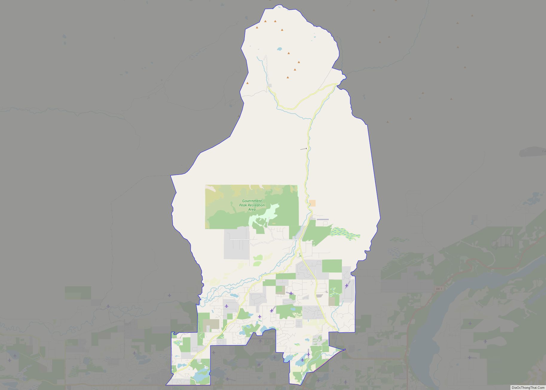
Online Interactive Map
Click on ![]() to view map in "full screen" mode.
to view map in "full screen" mode.
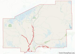
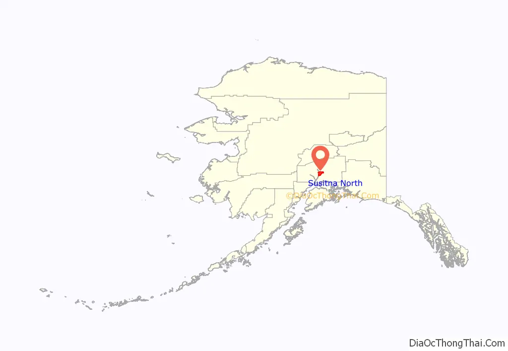
Susitna North location map. Where is Susitna North CDP?
History
Ahtna-speaking Athabascans lived in the Talkeetna Mountains and had a village opposite the mouth of Sunshine Creek called “Tsuk Qayeh”, meaning “Old Village.” Dena’ina-speaking Athabascans lived along the Deshka River and the middle Susitna River in the winter, below present-day Talkeetna. A Dena’ina village was located on the North Fork of the Kashwitna River, with a trail to Chickaloon, Alaska. Montana Creek became a small Dena’ina village in about 1915 during construction of the Alaska Railroad. Through 1927, the railroad brought employment and settlement to the area. Montana, at Mile 209.3, was one of the first construction camps. In 1918, a spur was constructed to a coal mine in the area. Sunshine Depot at Mile 215.3 was established in 1918, but was moved to higher ground in 1936. Construction of the Parks Highway and state land disposals led to settlement of the area.
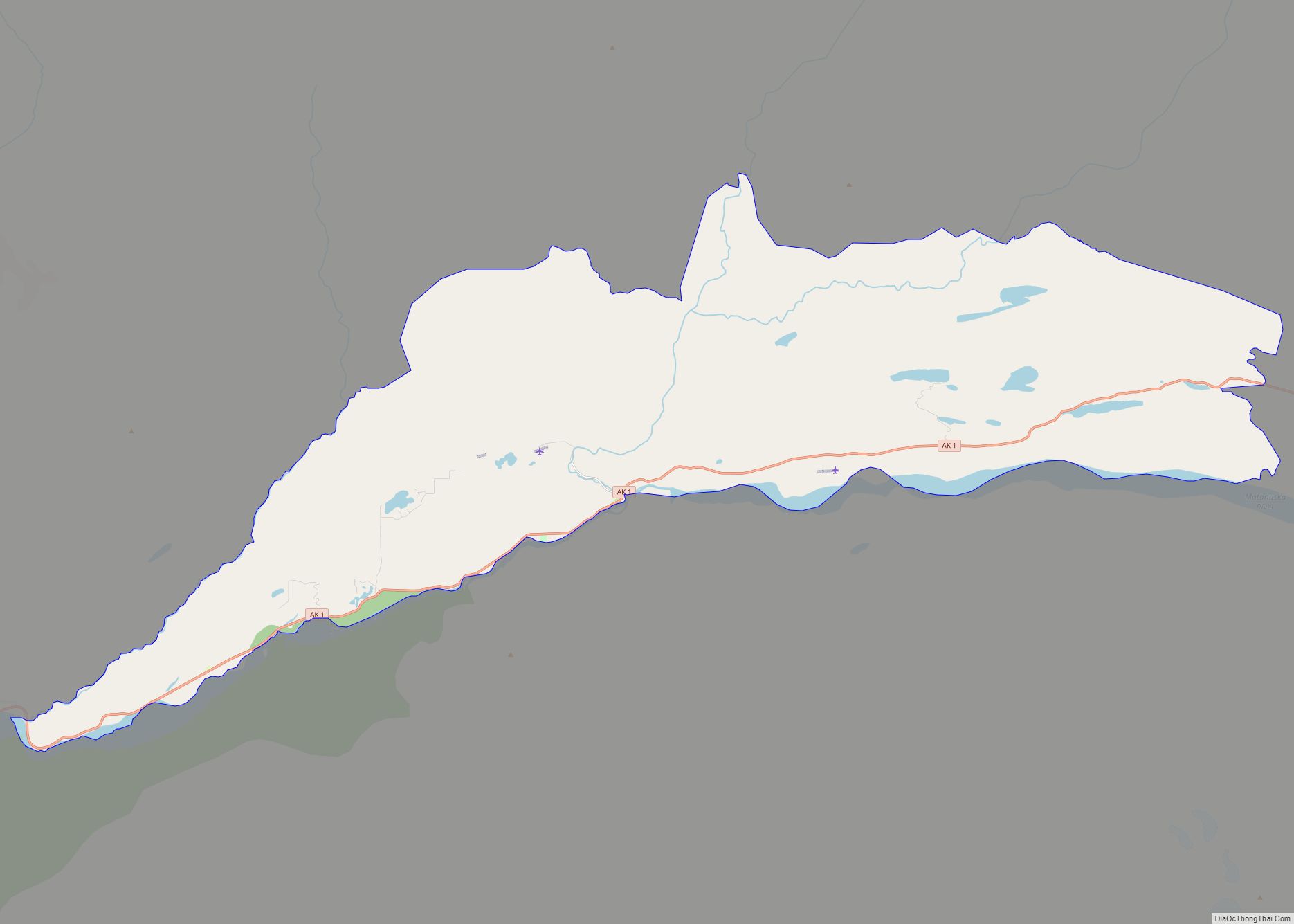
Susitna North Road Map
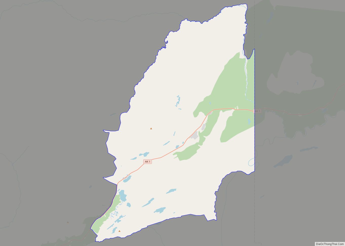
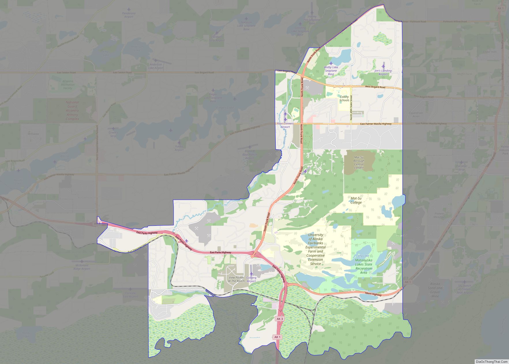
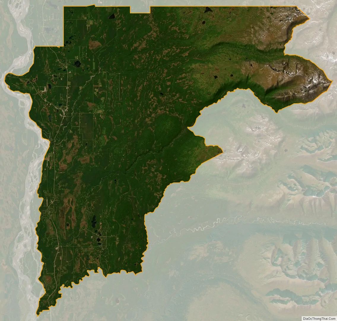
Susitna North city Satellite Map
Geography
Y is located at 62°2′12″N 149°59′14″W / 62.03667°N 149.98722°W / 62.03667; -149.98722 (62.154270, -149.79892) (Sec. 22, T024N, R003W, Seward Meridian) in the Palmer Recording District.
Y is the developed area between Willow and Talkeetna along the George Parks Highway. The Parks Highway and Talkeetna Spur Road form what is locally known as the “Talkeetna Y” at mile 98.7 (km 158.8) of the Parks Highway. Y includes Montana Creek and Sunshine. January temperatures range from −40 to 51 °F (−40 to 11 °C); July can range from 26 to 90 °F (−3 to 32 °C). Precipitation ranges from 14 to 29 inches (36 to 74 cm), with 48–70 inches (120–180 cm) of snowfall.
According to the United States Census Bureau, the CDP has a total area of 336.5 square miles (872 km), of which, 333.4 square miles (864 km) of it is land and 3.1 square miles (8.0 km) of it (0.92%) is water.
See also
Map of Alaska State and its subdivision:- Aleutians East
- Aleutians West
- Anchorage
- Bethel
- Bristol Bay
- Denali
- Dillingham
- Fairbanks North Star
- Haines
- Juneau
- Kenai Peninsula
- Ketchikan Gateway
- Kodiak Island
- Lake and Peninsula
- Matanuska-Susitna
- Nome
- North Slope
- Northwest Arctic
- Prince of Wales-Outer Ketchi
- Sitka
- Skagway-Yakutat-Angoon
- Southeast Fairbanks
- Valdez-Cordova
- Wade Hampton
- Wrangell-Petersburg
- Yukon-Koyukuk
- Alabama
- Alaska
- Arizona
- Arkansas
- California
- Colorado
- Connecticut
- Delaware
- District of Columbia
- Florida
- Georgia
- Hawaii
- Idaho
- Illinois
- Indiana
- Iowa
- Kansas
- Kentucky
- Louisiana
- Maine
- Maryland
- Massachusetts
- Michigan
- Minnesota
- Mississippi
- Missouri
- Montana
- Nebraska
- Nevada
- New Hampshire
- New Jersey
- New Mexico
- New York
- North Carolina
- North Dakota
- Ohio
- Oklahoma
- Oregon
- Pennsylvania
- Rhode Island
- South Carolina
- South Dakota
- Tennessee
- Texas
- Utah
- Vermont
- Virginia
- Washington
- West Virginia
- Wisconsin
- Wyoming