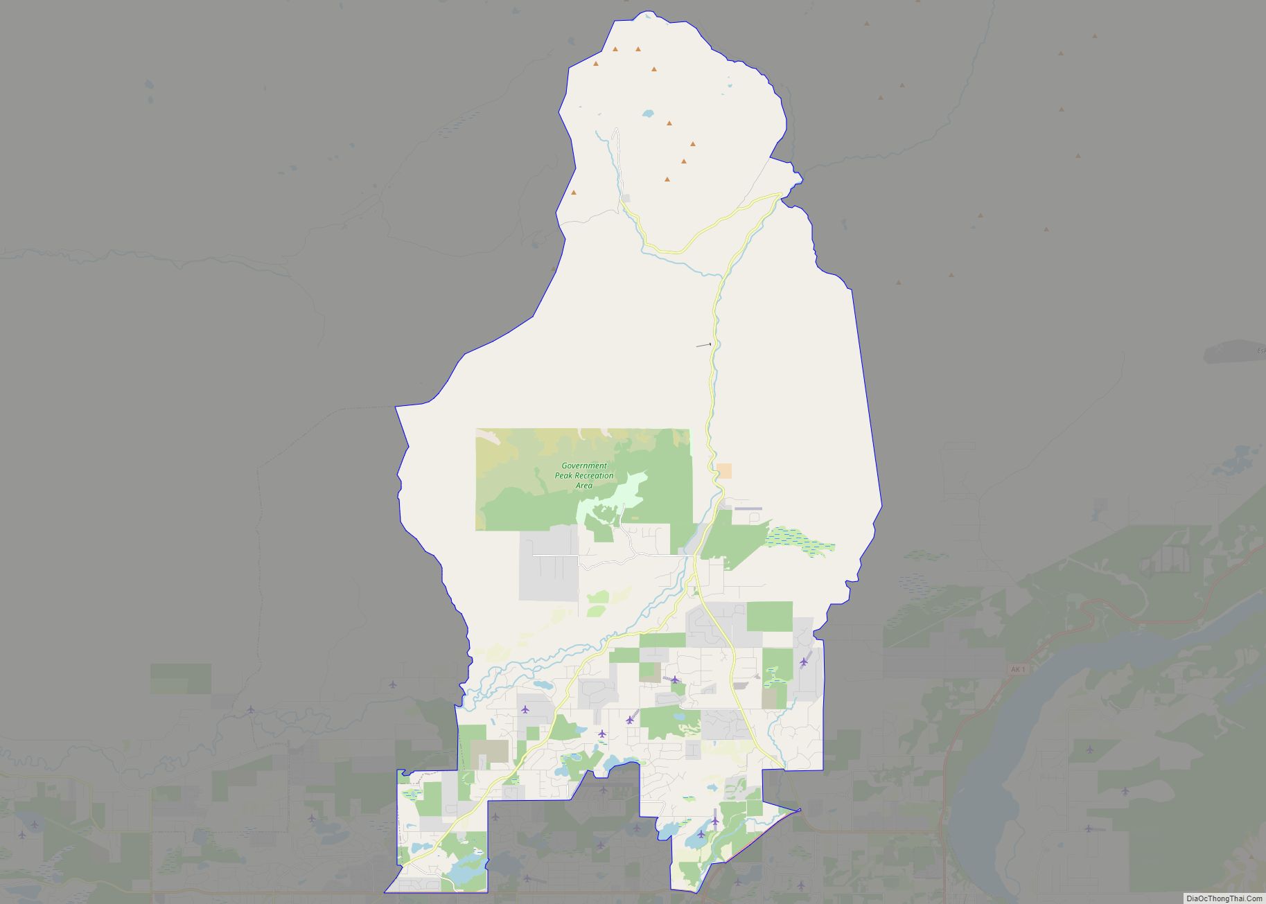
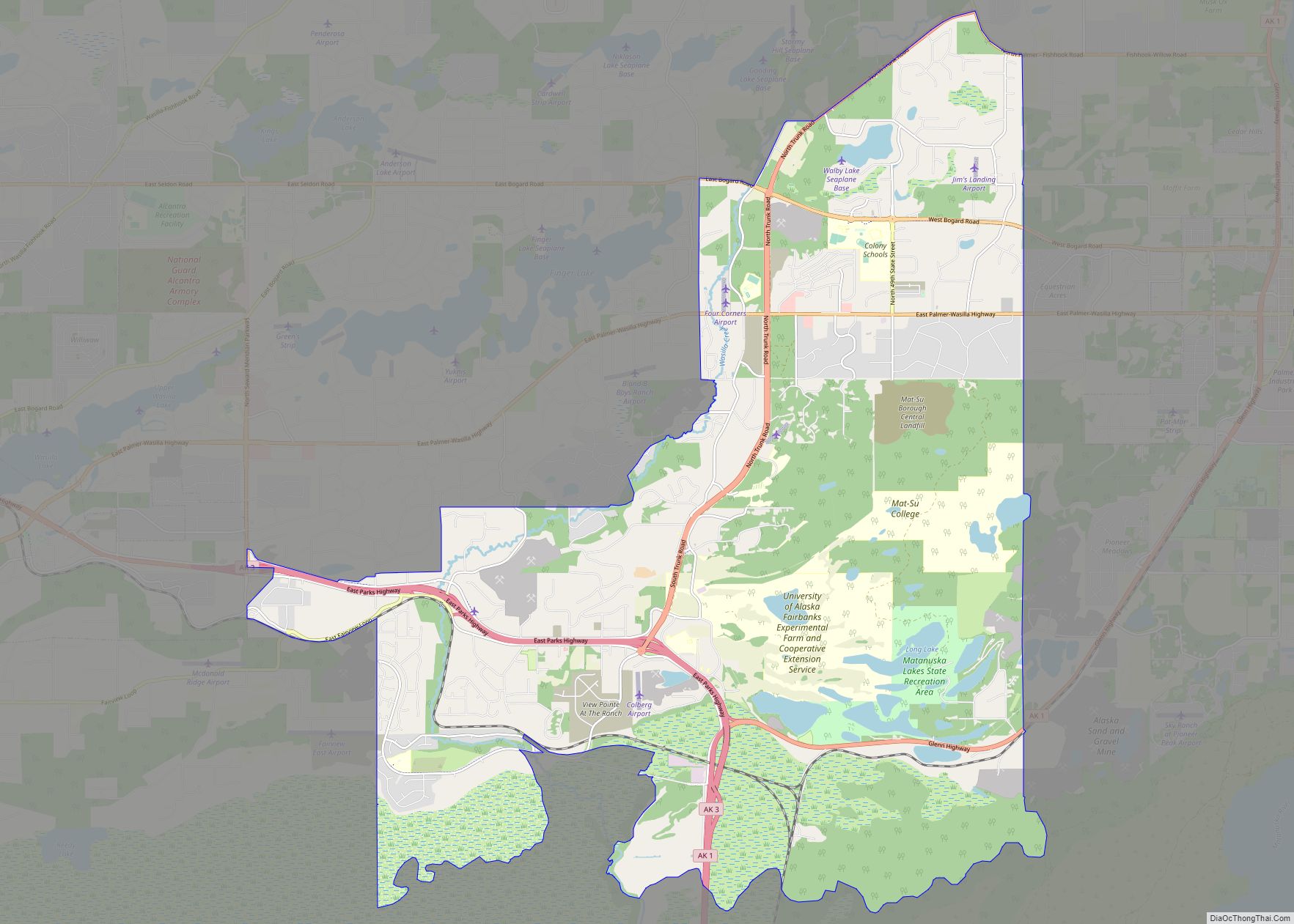
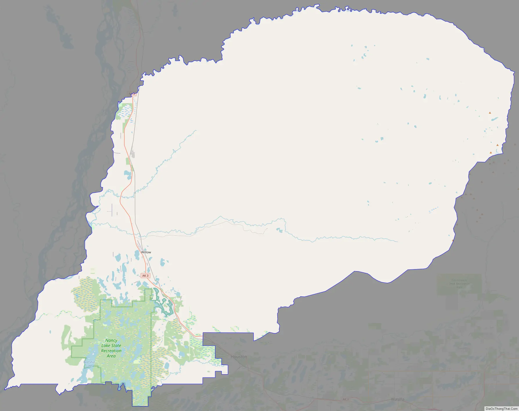
Willow is a census-designated place (CDP) in the Matanuska-Susitna Borough in the U.S. state of Alaska. Located 26 miles northwest from Wasilla along the George Parks Highway, it is part of the Anchorage, Alaska Metropolitan Statistical Area. At the 2020 census the population was 2,196, up from 2,102 in 2010.
| Name: | Willow CDP |
|---|---|
| LSAD Code: | 57 |
| LSAD Description: | CDP (suffix) |
| State: | Alaska |
| County: | Matanuska-Susitna Borough |
| Elevation: | 213 ft (65 m) |
| Total Area: | 698.58 sq mi (1,809.30 km²) |
| Land Area: | 690.47 sq mi (1,788.31 km²) |
| Water Area: | 8.11 sq mi (20.99 km²) |
| Total Population: | 2,196 |
| Population Density: | 3.18/sq mi (1.23/km²) |
| ZIP code: | 99683, 99688 |
| Area code: | 907 |
| FIPS code: | 0285280 |
| GNISfeature ID: | 1417146 |
Online Interactive Map
Click on ![]() to view map in "full screen" mode.
to view map in "full screen" mode.
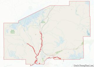
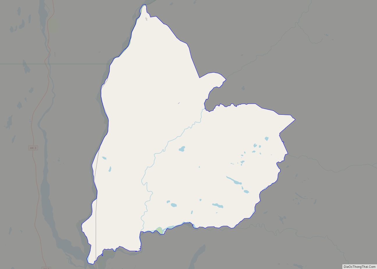
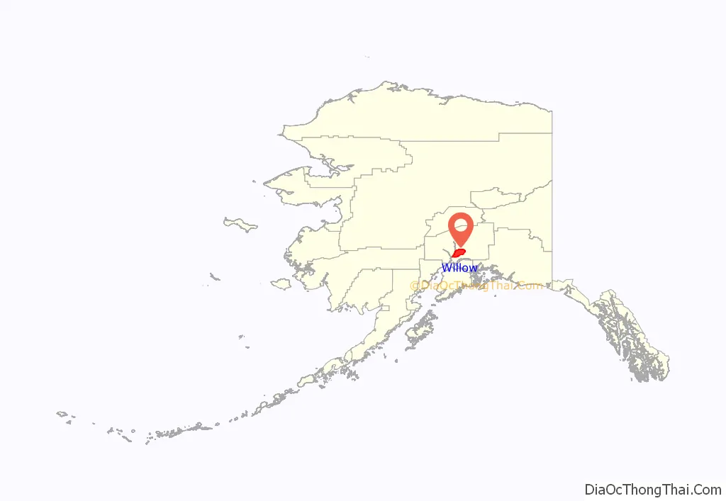
Willow location map. Where is Willow CDP?
History
The community got its start in 1897 when miners discovered gold on Willow Creek. Ships and boats brought supplies and equipment up Cook Inlet, landing at Knik or Tyonek. From Knik, a 26-mile summer trail went northwesterly. The trail along Willow Creek heading east became Hatcher Pass Road, currently an adventurous scenic road used during the summer tour season.
In 1920, the Alaska Railroad built its Willow station house at mile 185.7 along the tracks leading from Seward to Fairbanks.
During World War II, a radar warning station and airfield were built near the railroad tracks; a post office was established in 1948.
By 1954, Willow Creek was Alaska’s largest gold mining district, with a total production approaching 18 million dollars.
Around 1970, before construction of the Parks Highway, Willow had a population of 78 until land disposals, homestead subdivisions, and completion of the George Parks Highway in 1972 fueled growth in the area.
In 1976, Alaskans elected to move the state capital from Juneau to Willow in an effort to improve access for Alaskans while keeping the capital out of Anchorage, the largest city. Landscape architect M. Paul Friedberg created a master plan for the city as part of one such proposal. This fueled interest and land speculation in the area. However, funding to enable the capital move was defeated in the November 1982 election. As a result, Juneau remains the state capital.
More than half of the 1,500 cabins around Willow are for seasonal use. Nearly all of the occupied homes in Willow are fully plumbed, using individual on-site water wells, septic tanks and drain fields.
Willow is now the official host of the Iditarod Trail Sled Dog Race restart.
In June 2015, a large wildfire burned thousands of acres of wilderness, numerous structures and forced the closure of the George Parks Highway, severing the road link between Anchorage and Fairbanks.
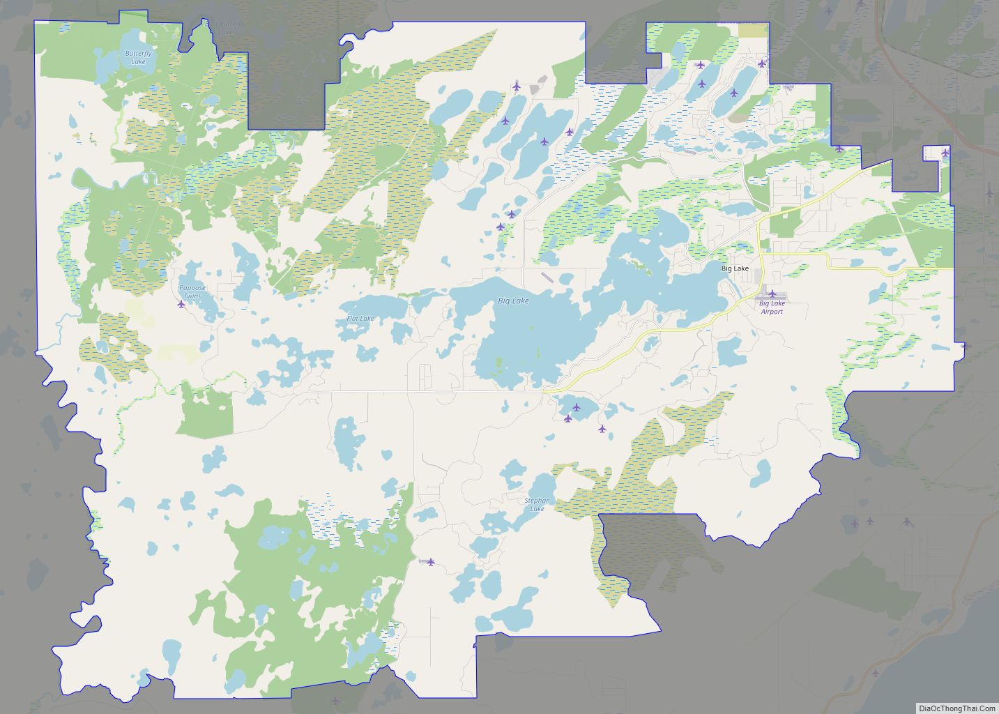
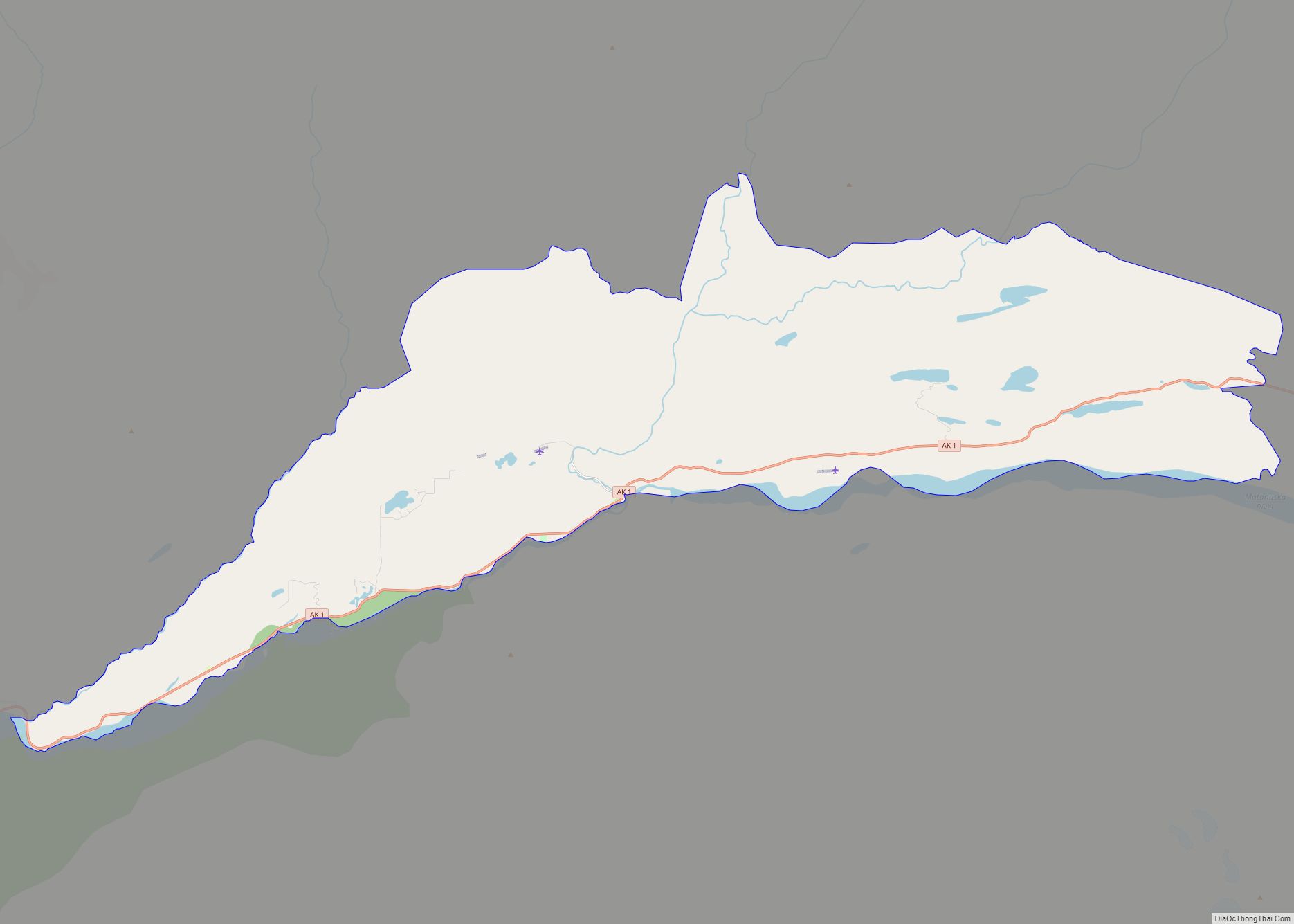
Willow Road Map
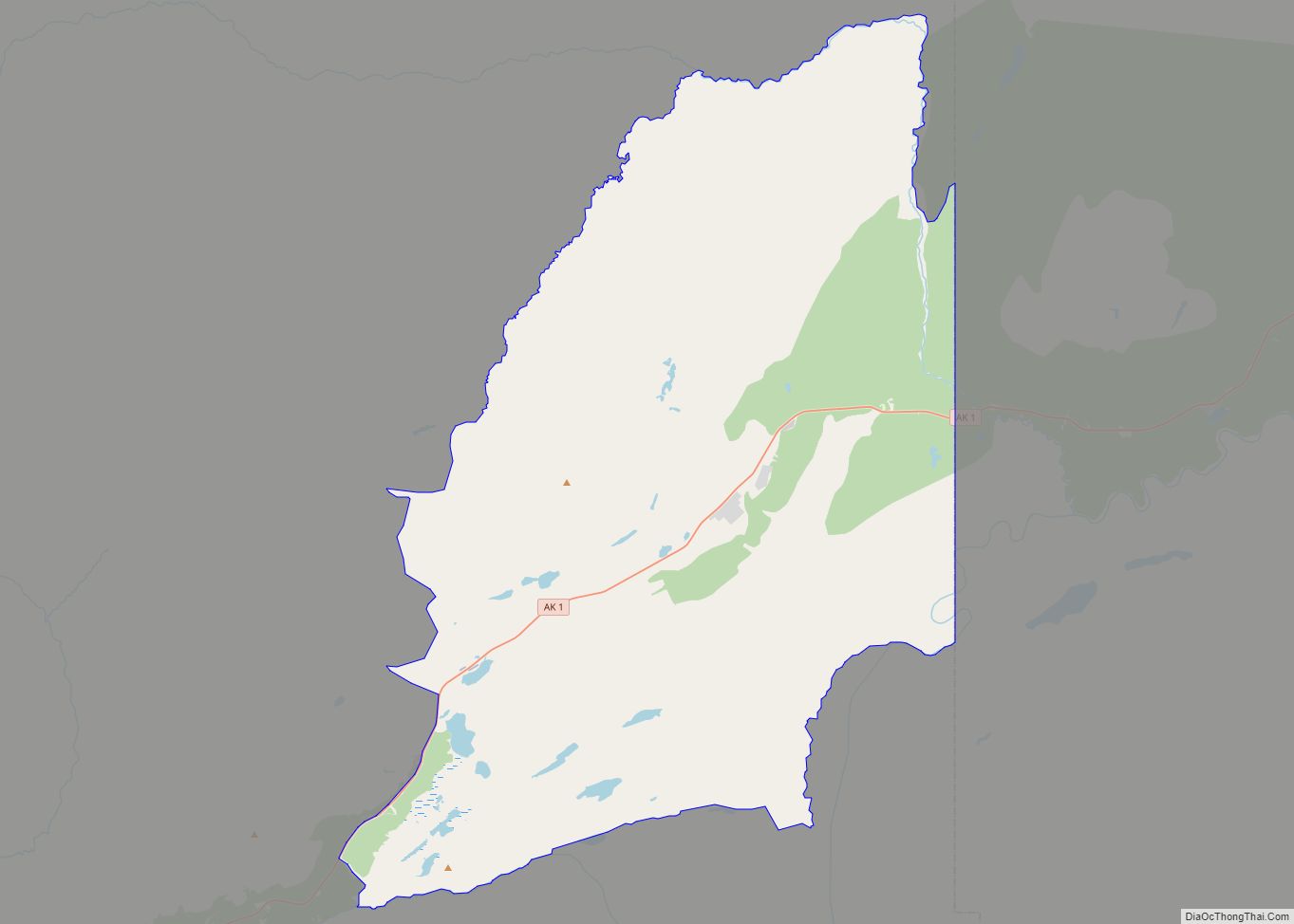
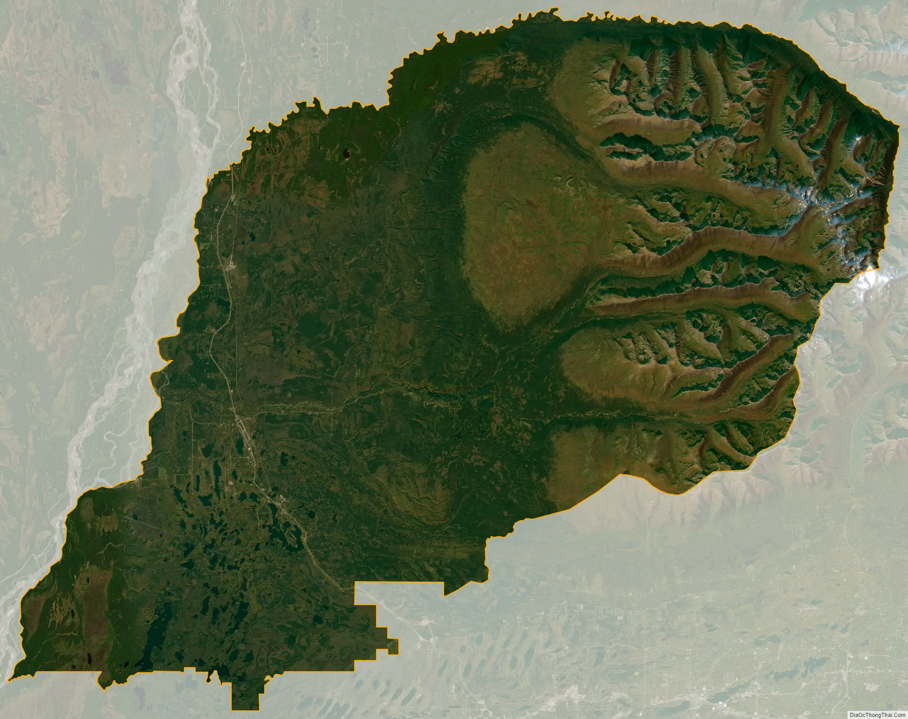
Willow city Satellite Map
Geography
Willow is located at 61°46′10″N 149°59′28″W / 61.76944°N 149.99111°W / 61.76944; -149.99111 (61.769345, -149.991065).
According to the United States Census Bureau, the CDP has a total area of 692.9 square miles (1,795 km), of which, 684.8 square miles (1,774 km) of it is land and 8.0 square miles (21 km) of it (1.16%) is water. By area, it is the largest CDP in the United States.
See also
Map of Alaska State and its subdivision:- Aleutians East
- Aleutians West
- Anchorage
- Bethel
- Bristol Bay
- Denali
- Dillingham
- Fairbanks North Star
- Haines
- Juneau
- Kenai Peninsula
- Ketchikan Gateway
- Kodiak Island
- Lake and Peninsula
- Matanuska-Susitna
- Nome
- North Slope
- Northwest Arctic
- Prince of Wales-Outer Ketchi
- Sitka
- Skagway-Yakutat-Angoon
- Southeast Fairbanks
- Valdez-Cordova
- Wade Hampton
- Wrangell-Petersburg
- Yukon-Koyukuk
- Alabama
- Alaska
- Arizona
- Arkansas
- California
- Colorado
- Connecticut
- Delaware
- District of Columbia
- Florida
- Georgia
- Hawaii
- Idaho
- Illinois
- Indiana
- Iowa
- Kansas
- Kentucky
- Louisiana
- Maine
- Maryland
- Massachusetts
- Michigan
- Minnesota
- Mississippi
- Missouri
- Montana
- Nebraska
- Nevada
- New Hampshire
- New Jersey
- New Mexico
- New York
- North Carolina
- North Dakota
- Ohio
- Oklahoma
- Oregon
- Pennsylvania
- Rhode Island
- South Carolina
- South Dakota
- Tennessee
- Texas
- Utah
- Vermont
- Virginia
- Washington
- West Virginia
- Wisconsin
- Wyoming