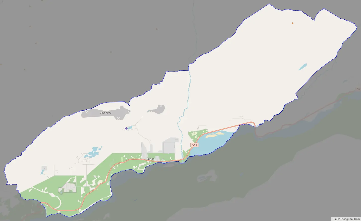
Sutton (Ahtna: Ts’es Tac’ilaexde; Dena’ina: Ts’es Tuk’ilaght) is a census-designated place (CDP) in the Matanuska-Susitna Borough in the U.S. state of Alaska. At the 2020 census the population was 1,038, down from 1,447 in 2010. The CDP includes the former coal mining community and road construction camp of Sutton, as well as the former mining camps of Eska and Jonesville.
| Name: | Sutton-Alpine CDP |
|---|---|
| LSAD Code: | 57 |
| LSAD Description: | CDP (suffix) |
| State: | Alaska |
| County: | Matanuska-Susitna Borough |
| Total Area: | 58.14 sq mi (150.57 km²) |
| Land Area: | 57.60 sq mi (149.19 km²) |
| Water Area: | 0.54 sq mi (1.39 km²) |
| Total Population: | 1,038 |
| Population Density: | 18.02/sq mi (6.96/km²) |
| ZIP code: | 99674 |
| Area code: | 907 |
| FIPS code: | 0274525 |
Online Interactive Map
Click on ![]() to view map in "full screen" mode.
to view map in "full screen" mode.
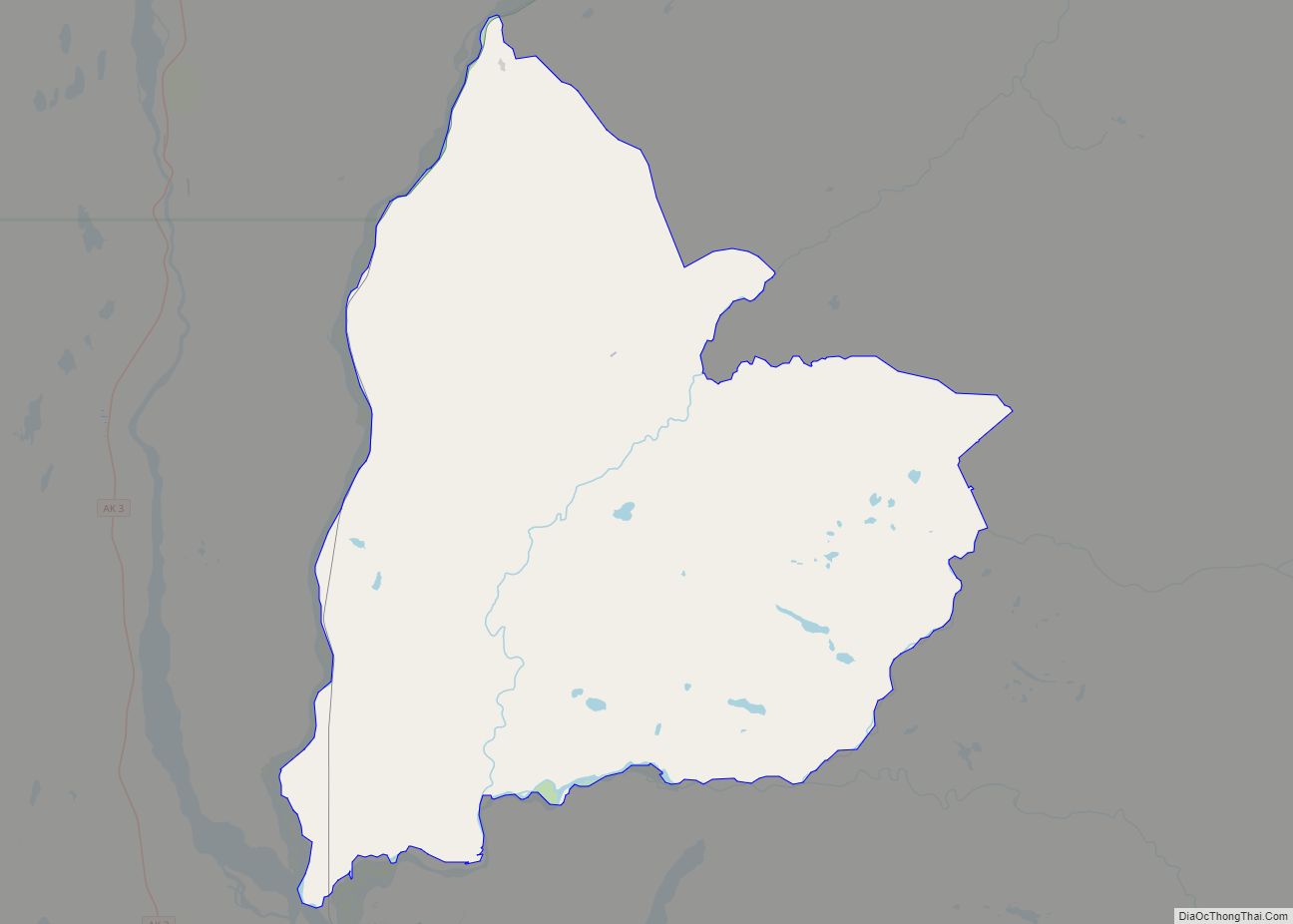
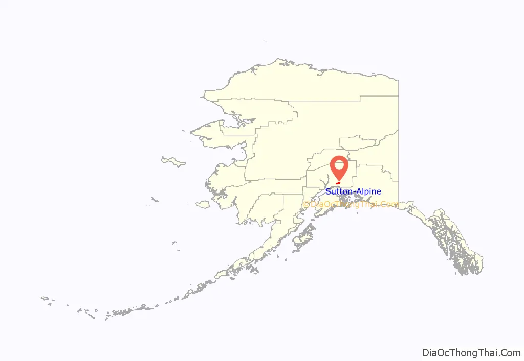
Sutton-Alpine location map. Where is Sutton-Alpine CDP?
History
The first people in Sutton were the Ahtna and Dena’ina Athabascans, who called Sutton Ts’es Tac’ilaexde and Ts’es Tuk’ilaght, respectively. In both languages, the name means “where fish run among rocks”
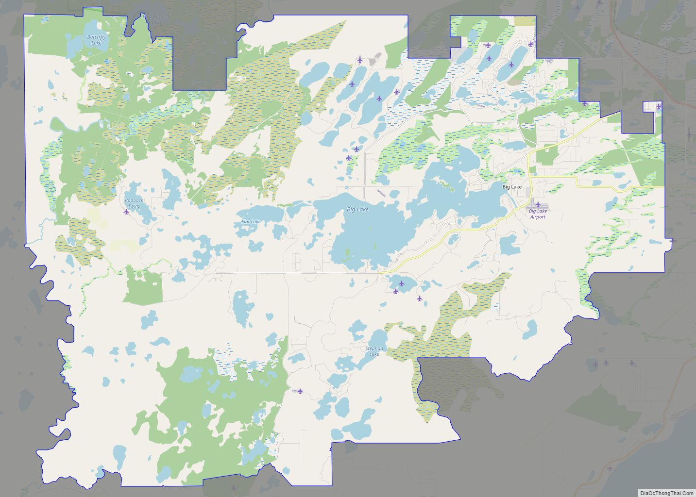
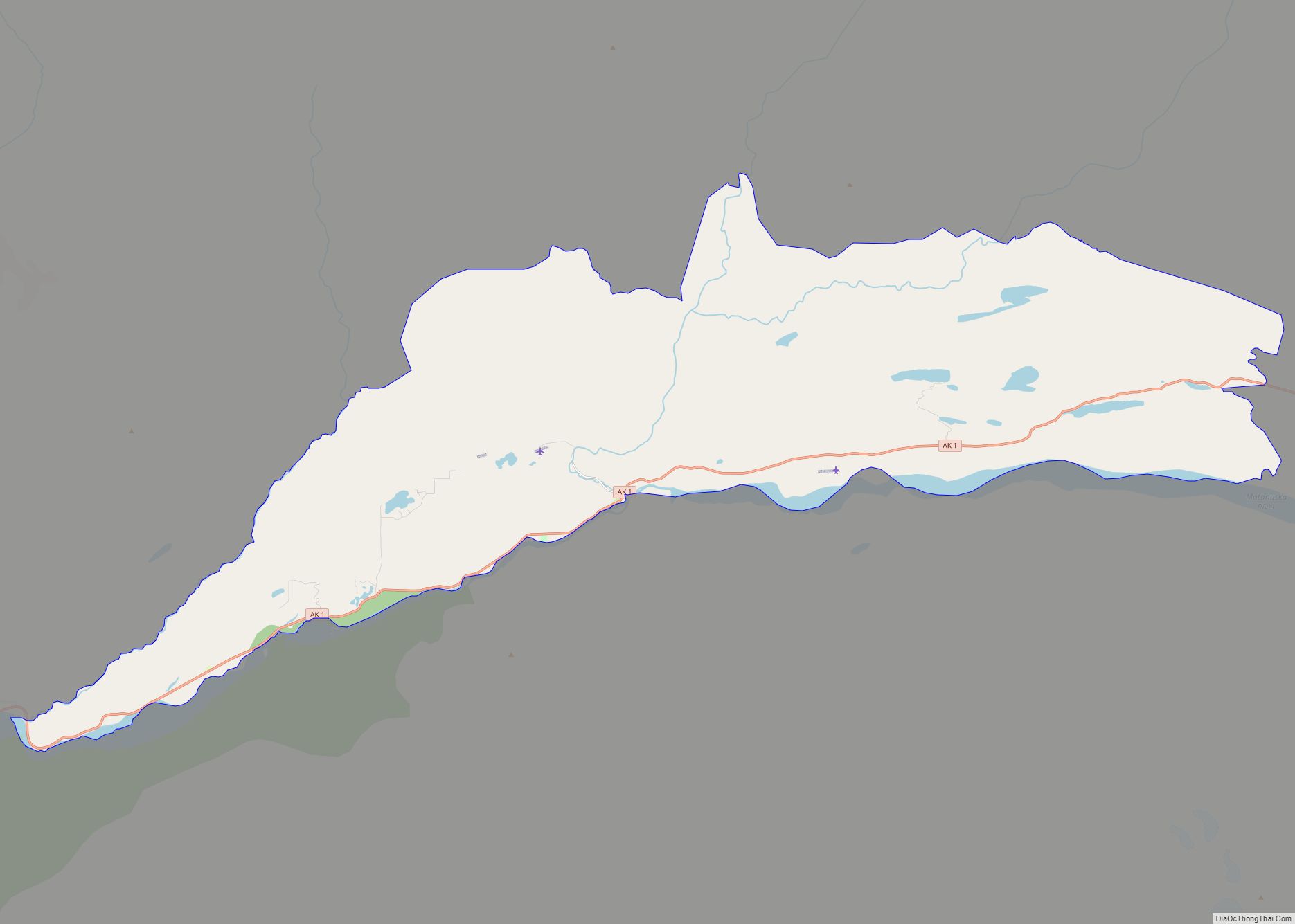
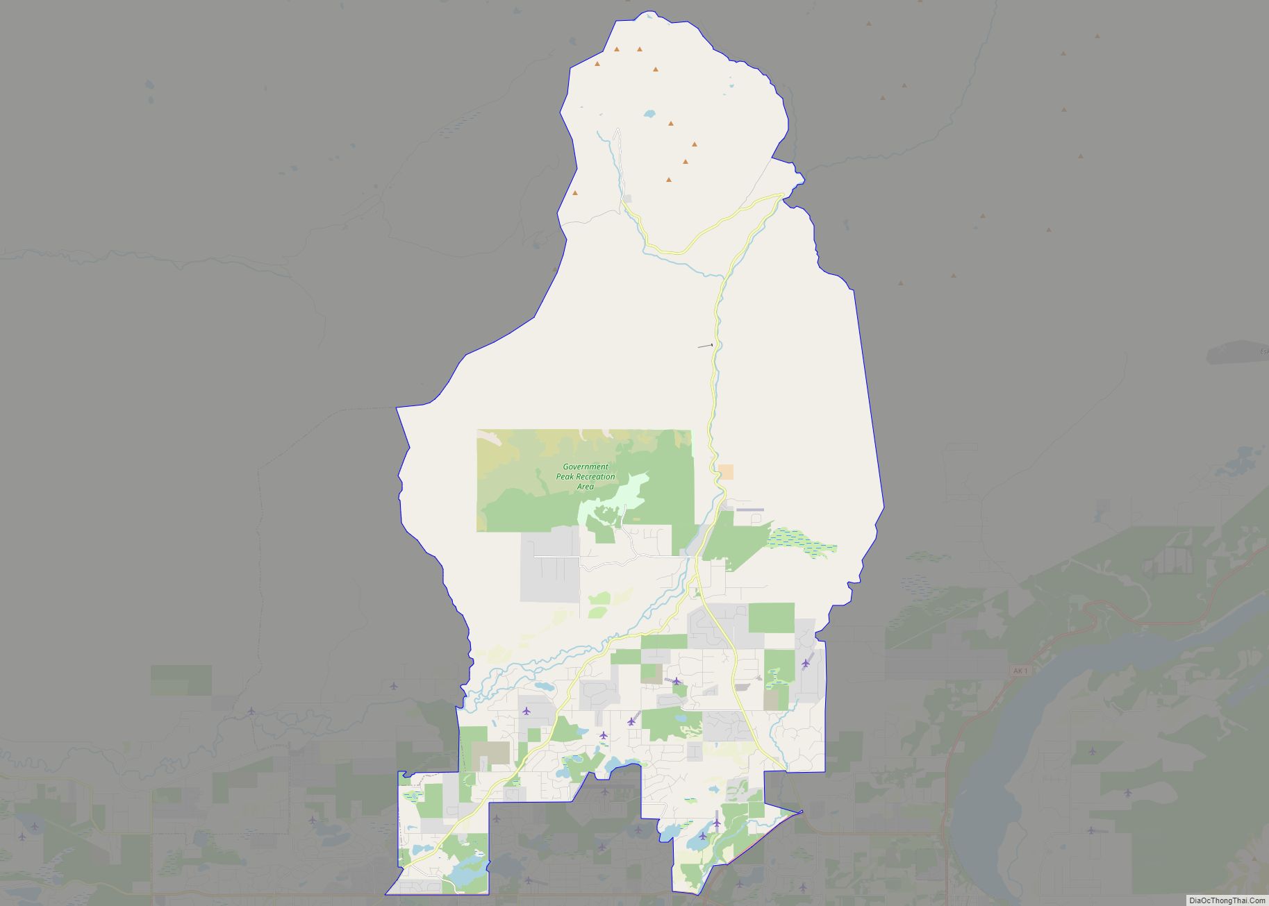
Sutton-Alpine Road Map
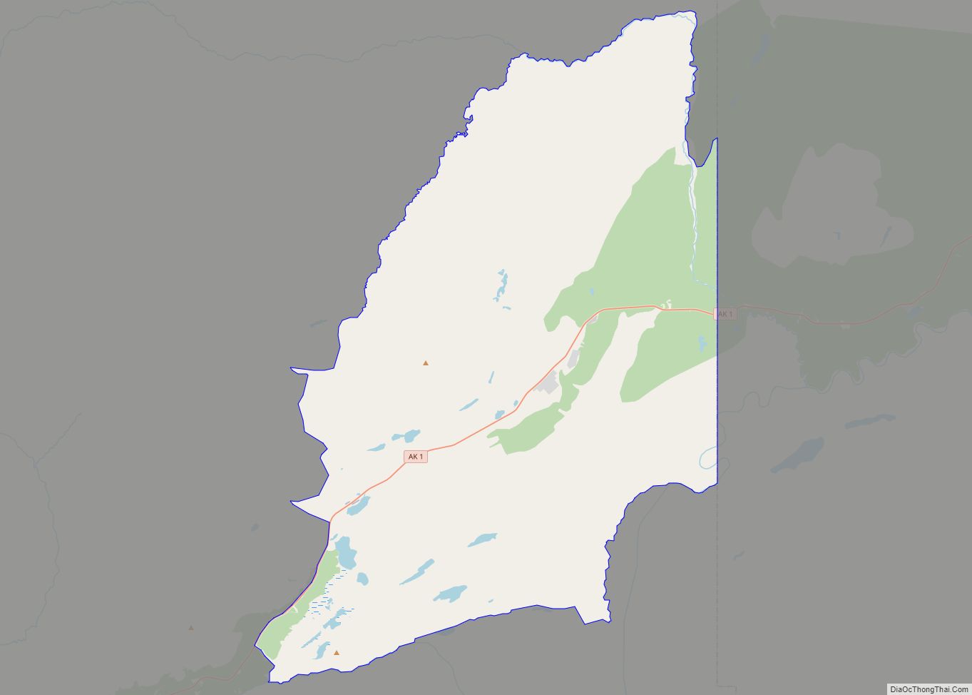
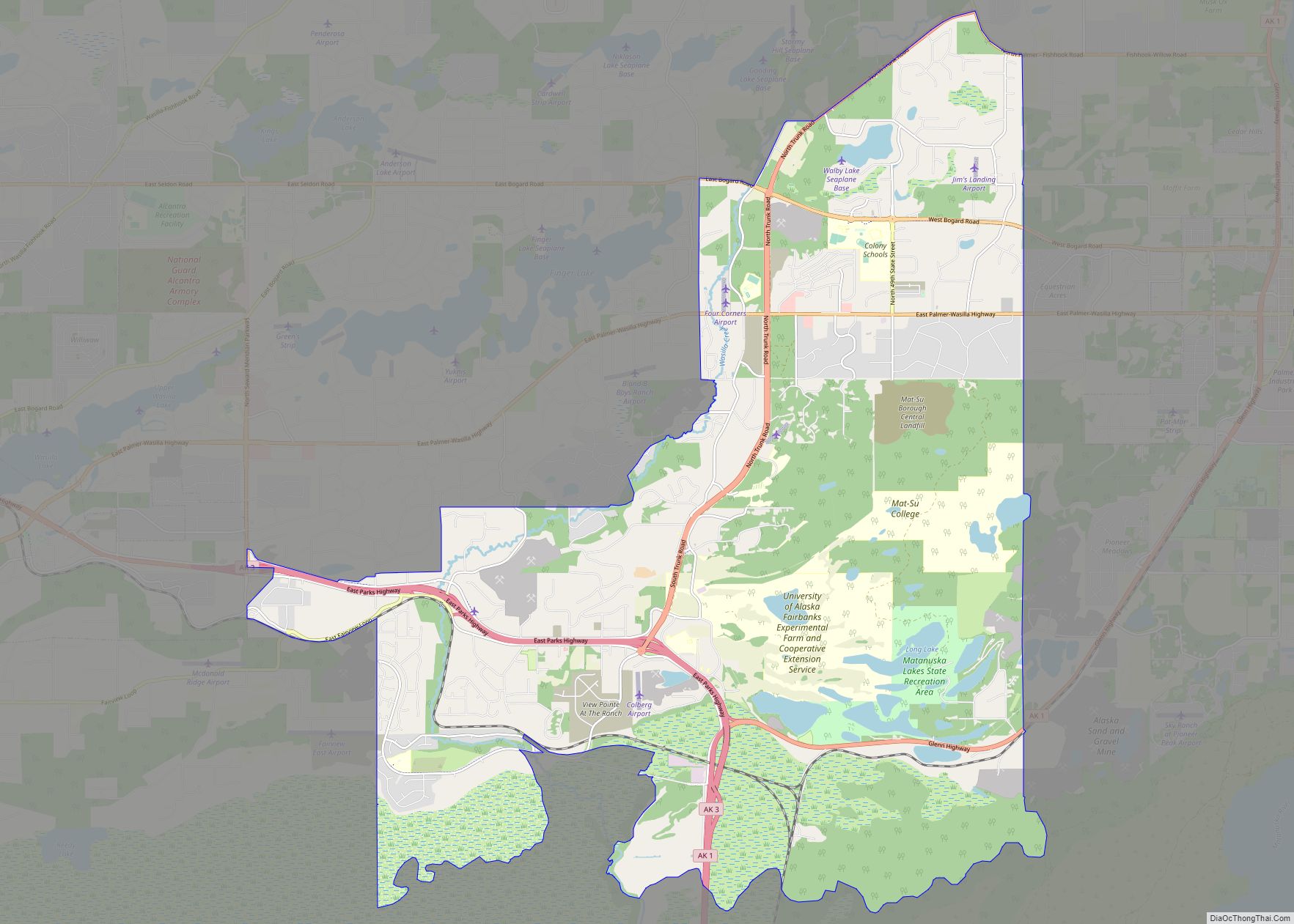
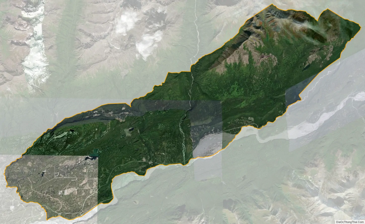
Sutton-Alpine city Satellite Map
Geography
Sutton-Alpine is located in southeastern Matanuska-Susitna Borough at 61°42′45″N 148°53′8″W / 61.71250°N 148.88556°W / 61.71250; -148.88556 (61.712473, -148.885625), 52–72 miles (84–116 km) northeast of Anchorage along the Glenn Highway. It sits along Alaska Route 1, the Glenn Highway, between Buffalo Soapstone to the west and Chickaloon to the east. The Matanuska River forms the southern edge of the CDP. Palmer, the borough seat, is 14 miles (23 km) to the southwest via the Glenn Highway.
According to the United States Census Bureau, the Sutton-Alpine CDP has a total area of 58.1 square miles (150 km), of which 57.6 square miles (149 km) are land and 0.5 square miles (1.3 km), or 0.92%, are water.
See also
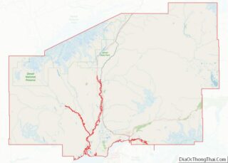
Map of Alaska State and its subdivision:- Aleutians East
- Aleutians West
- Anchorage
- Bethel
- Bristol Bay
- Denali
- Dillingham
- Fairbanks North Star
- Haines
- Juneau
- Kenai Peninsula
- Ketchikan Gateway
- Kodiak Island
- Lake and Peninsula
- Matanuska-Susitna
- Nome
- North Slope
- Northwest Arctic
- Prince of Wales-Outer Ketchi
- Sitka
- Skagway-Yakutat-Angoon
- Southeast Fairbanks
- Valdez-Cordova
- Wade Hampton
- Wrangell-Petersburg
- Yukon-Koyukuk
- Alabama
- Alaska
- Arizona
- Arkansas
- California
- Colorado
- Connecticut
- Delaware
- District of Columbia
- Florida
- Georgia
- Hawaii
- Idaho
- Illinois
- Indiana
- Iowa
- Kansas
- Kentucky
- Louisiana
- Maine
- Maryland
- Massachusetts
- Michigan
- Minnesota
- Mississippi
- Missouri
- Montana
- Nebraska
- Nevada
- New Hampshire
- New Jersey
- New Mexico
- New York
- North Carolina
- North Dakota
- Ohio
- Oklahoma
- Oregon
- Pennsylvania
- Rhode Island
- South Carolina
- South Dakota
- Tennessee
- Texas
- Utah
- Vermont
- Virginia
- Washington
- West Virginia
- Wisconsin
- Wyoming