Talkeetna (Dena’ina: K’dalkitnu) is a census-designated place (CDP) in Matanuska-Susitna Borough, Alaska, United States. At the 2020 census the population was 1,055, up from 876 in 2010.
| Name: | Talkeetna CDP |
|---|---|
| LSAD Code: | 57 |
| LSAD Description: | CDP (suffix) |
| State: | Alaska |
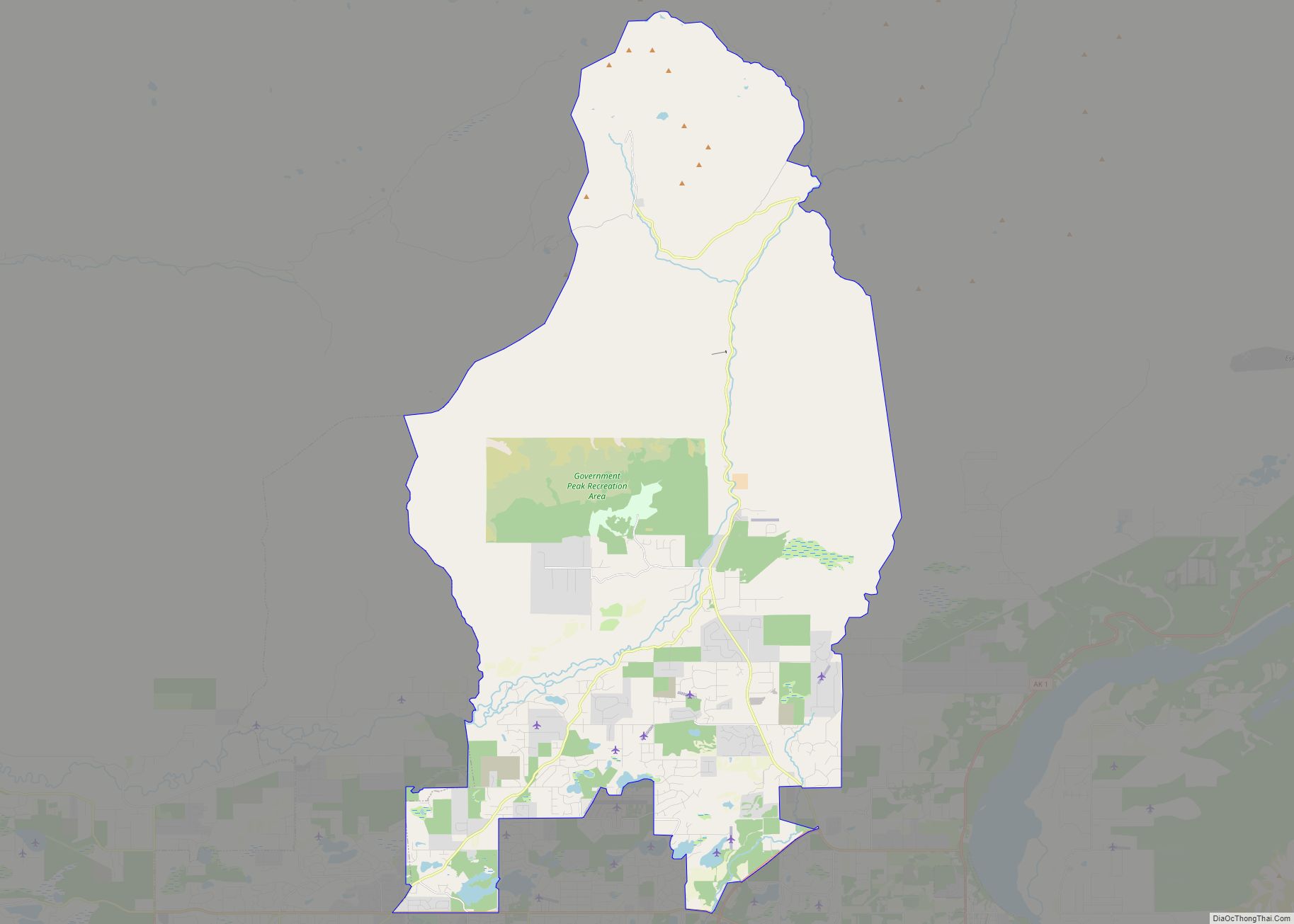
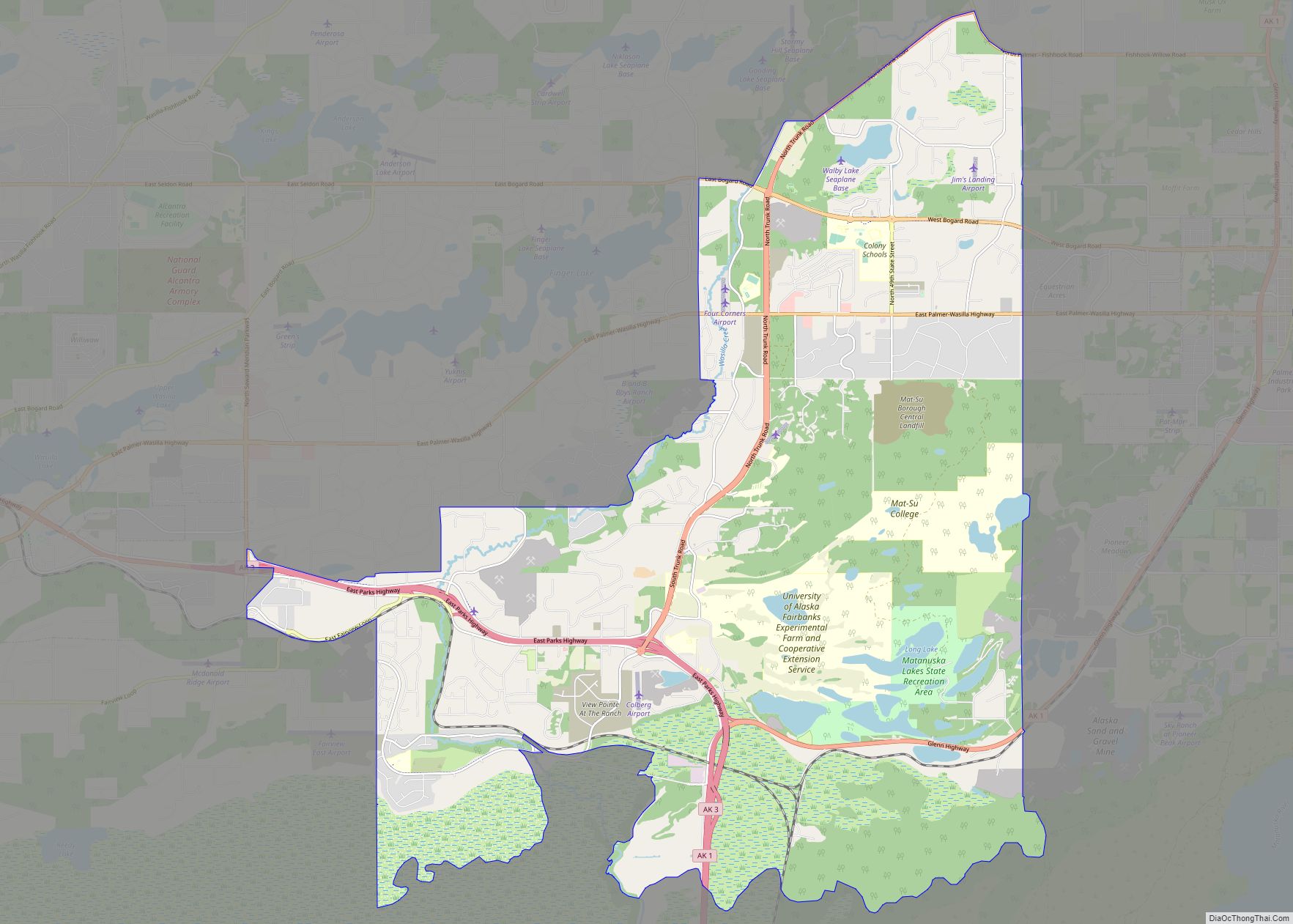
| County: | Matanuska-Susitna Borough |
| Elevation: | 348 ft (106 m) |
| Total Area: | 96.35 sq mi (249.54 km²) |
| Land Area: | 94.22 sq mi (244.02 km²) |
| Water Area: | 2.13 sq mi (5.52 km²) |
| Total Population: | 1,055 |
| Population Density: | 11.20/sq mi (4.32/km²) |
| ZIP code: | 99676 |
| Area code: | 907 |
| FIPS code: | 0274830 |
| GNISfeature ID: | 1410591 |
Online Interactive Map
Click on ![]() to view map in "full screen" mode.
to view map in "full screen" mode.
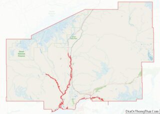
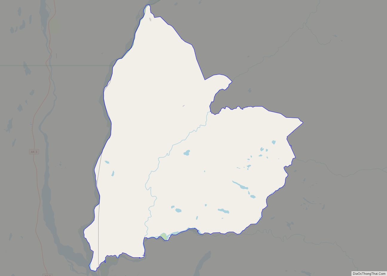
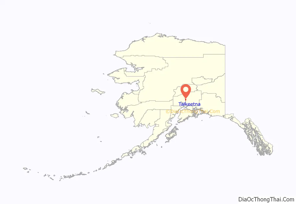
Talkeetna location map. Where is Talkeetna CDP?
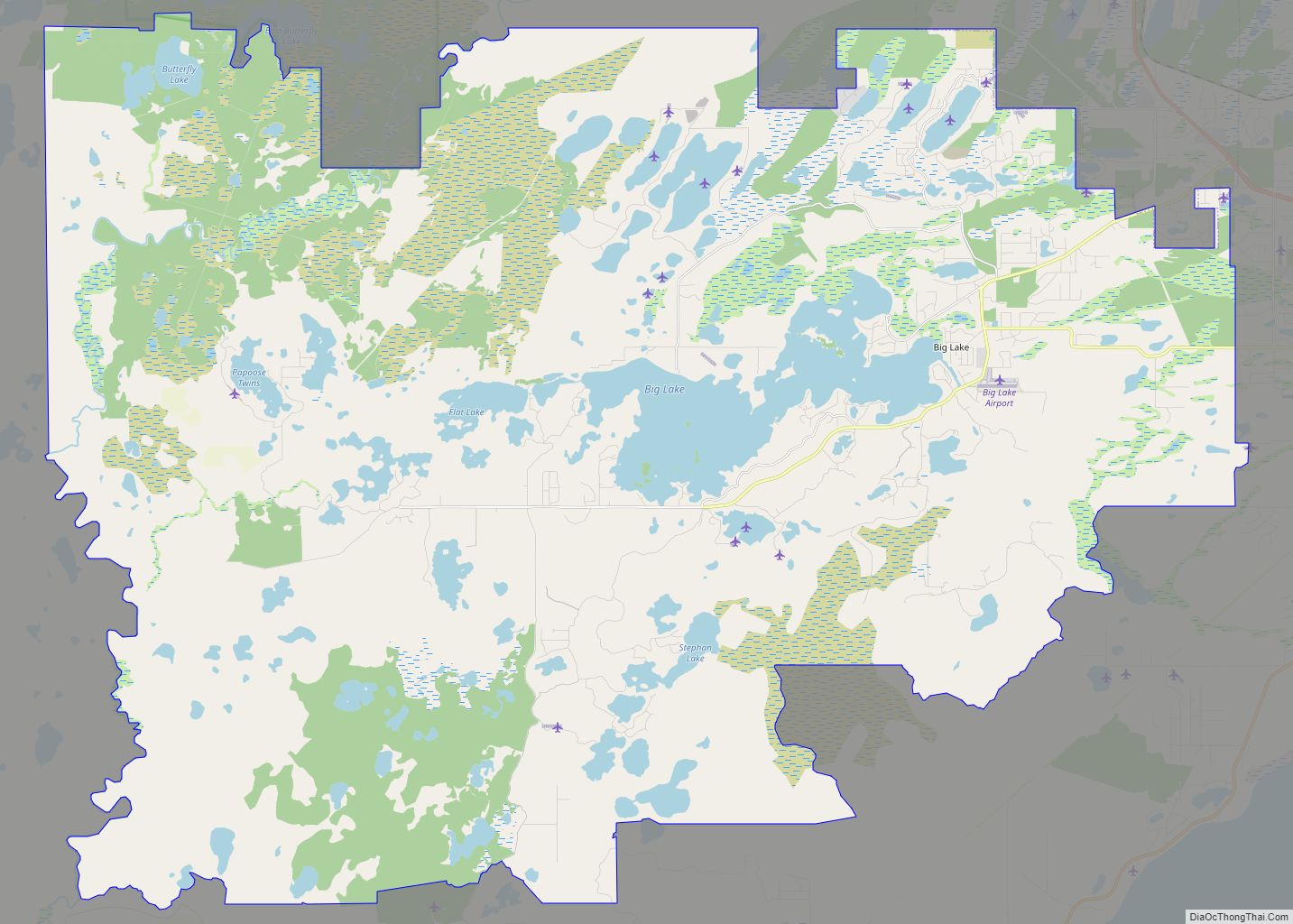
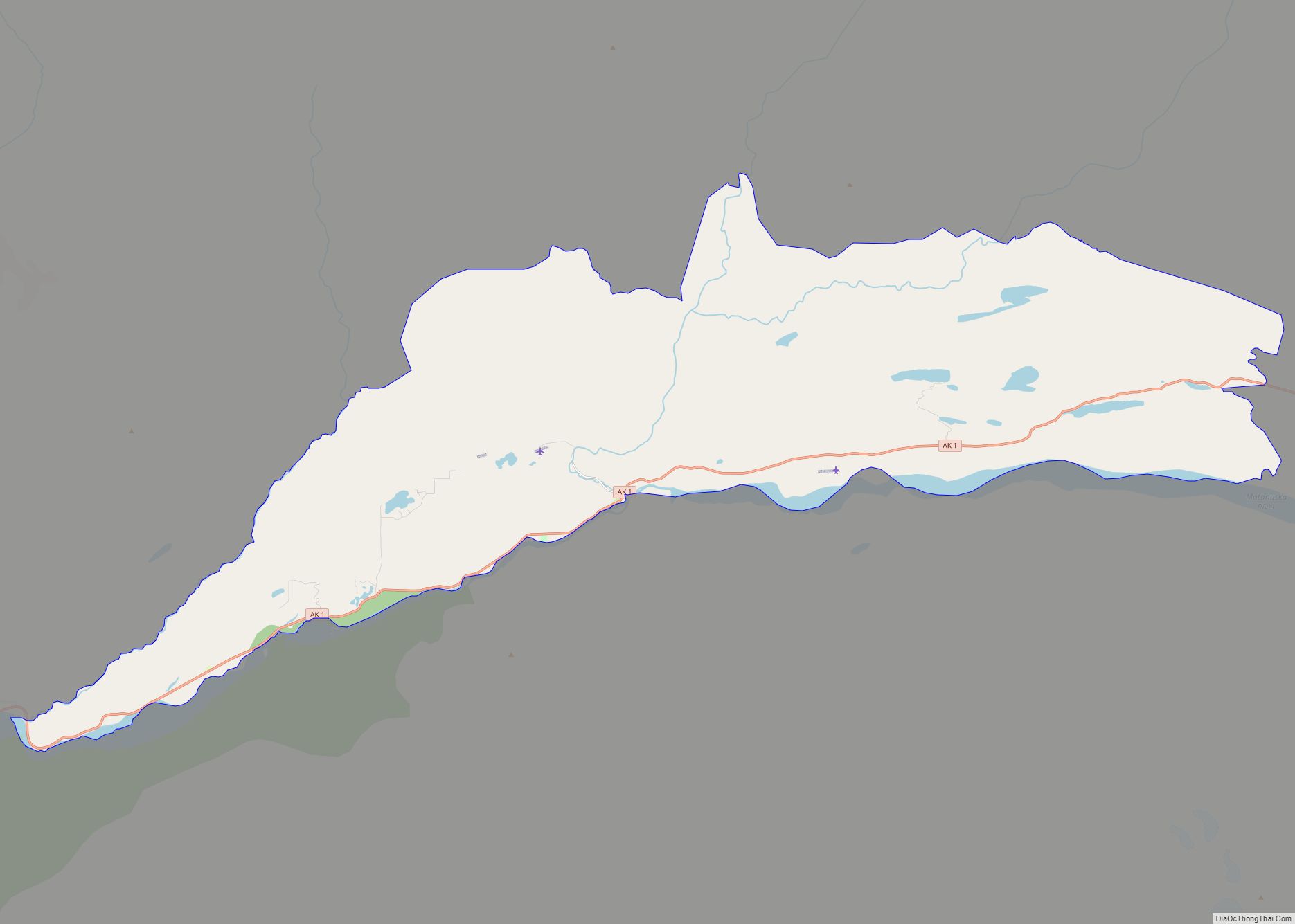
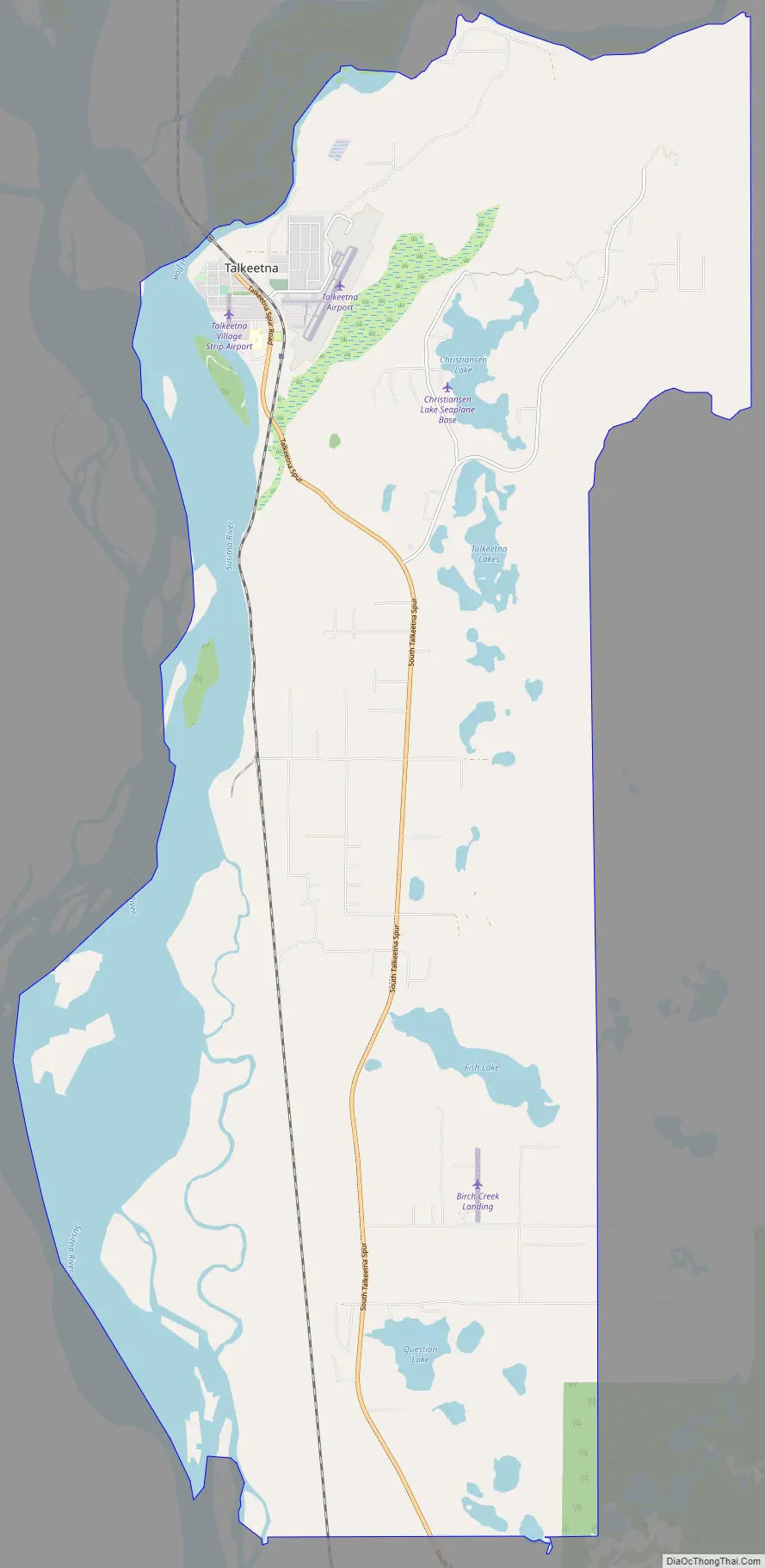
Talkeetna Road Map
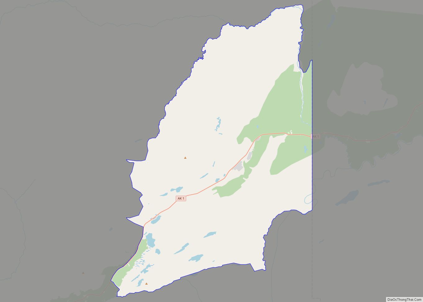
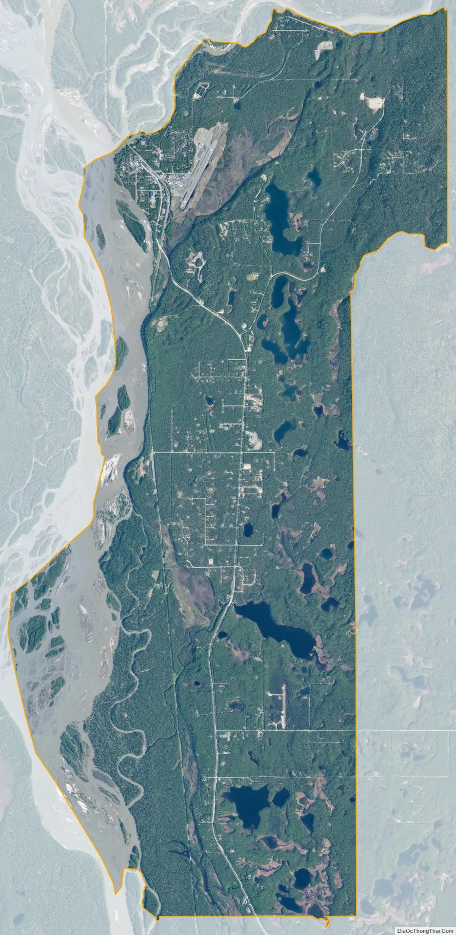
Talkeetna city Satellite Map
Geography
Talkeetna is located at the confluence of three rivers, the Susitna, Chulitna and Talkeetna. Talkeetna began in 1916 when the area was chosen as a district headquarters for the Alaska Railroad. A post office opened as well as a sawmill, trading post, cigar and donkey store and other businesses as well as many cabins. In 1917, the residents encouraged the government to survey the lots on which their homes stood. In 1919, the railroad surveyed and auctioned eighty lots, 41 of which already had permanent structures on them. The average price at the sale was $14.25.
Flightseeing, rafting, mountain biking, hiking, camping, fishing and hunting make up a large portion of the local economy. Talkeetna is a 2½-hour drive from Anchorage, the largest city in Alaska. The core downtown area (Talkeetna Historic District) is on the register of National Historic Places, with buildings dating from the early 1900s including Nagley’s General Store, Fairview Inn and the Talkeetna Roadhouse.
According to the United States Census Bureau, the CDP has a total area of 42.9 square miles (111 km), of which, 41.6 square miles (108 km) of it is land and 1.4 square miles (3.6 km) of it (3.19%) is water.
Climate
The climate is continental subarctic (Köppen: Dfc), assuming some characteristics like warm-summer but the shorter duration of the hot season and long winters give the town boreal features and in terms of vegetation is composed of taiga (Cook Inlet Basin), different from the southcentral coastal more diversified. Even though the cold, dry air comes from the north, the moisture acquired comes from the Gulf of Alaska. That is, summers are between a short duration and an average duration. It is lighter than Yellowknife, Canada at similar latitudes due to the moderating effect of the Pacific Ocean and the adiabatic warming of the descending air from the surrounding mountains. The average annual temperature is 0.8 °C, the average precipitation is not as high but relatively well distributed during the year, about 686 mm on average.
- ^ Mean monthly maxima and minima (i.e., the highest and lowest temperature readings during an entire month or year) calculated based on data at said location from 1991 to 2020.
See also
Map of Alaska State and its subdivision:- Aleutians East
- Aleutians West
- Anchorage
- Bethel
- Bristol Bay
- Denali
- Dillingham
- Fairbanks North Star
- Haines
- Juneau
- Kenai Peninsula
- Ketchikan Gateway
- Kodiak Island
- Lake and Peninsula
- Matanuska-Susitna
- Nome
- North Slope
- Northwest Arctic
- Prince of Wales-Outer Ketchi
- Sitka
- Skagway-Yakutat-Angoon
- Southeast Fairbanks
- Valdez-Cordova
- Wade Hampton
- Wrangell-Petersburg
- Yukon-Koyukuk
- Alabama
- Alaska
- Arizona
- Arkansas
- California
- Colorado
- Connecticut
- Delaware
- District of Columbia
- Florida
- Georgia
- Hawaii
- Idaho
- Illinois
- Indiana
- Iowa
- Kansas
- Kentucky
- Louisiana
- Maine
- Maryland
- Massachusetts
- Michigan
- Minnesota
- Mississippi
- Missouri
- Montana
- Nebraska
- Nevada
- New Hampshire
- New Jersey
- New Mexico
- New York
- North Carolina
- North Dakota
- Ohio
- Oklahoma
- Oregon
- Pennsylvania
- Rhode Island
- South Carolina
- South Dakota
- Tennessee
- Texas
- Utah
- Vermont
- Virginia
- Washington
- West Virginia
- Wisconsin
- Wyoming