Tanana /ˈtænənɑː/ (Hohudodetlaatl Denh in Koyukon) is a city in the Yukon-Koyukuk Census Area in the U.S. state of Alaska. At the 2010 census the population was 246, down from 308 in 2000. It was formerly known as Clachotin, adopted by Canadian French.
Jules Jetté (1864–1927), a Jesuit missionary who worked in the area and documented the language, recorded the Koyukon Athabascan name for the village as Hohudodetlaatl Denh, literally, ‘where the area has been chopped’. Several residents are chronicled in the 2012 Discovery Channel TV series Yukon Men. Almost 80% of the town’s population are Native Americans, traditionally Koyukon (Denaakk’e) speakers of the large Athabaskan (Dené) language family.
| Name: | Tanana city |
|---|---|
| LSAD Code: | 25 |
| LSAD Description: | city (suffix) |
| State: | Alaska |
| County: | Yukon-Koyukuk Census Area |
| Incorporated: | June 7, 1961 |
| Elevation: | 207 ft (63 m) |
| Total Area: | 15.00 sq mi (38.84 km²) |
| Land Area: | 10.67 sq mi (27.64 km²) |
| Water Area: | 4.33 sq mi (11.21 km²) |
| Total Population: | 246 |
| Population Density: | 23.06/sq mi (8.90/km²) |
| ZIP code: | 99777 |
| Area code: | 907 |
| FIPS code: | 0275160 |
Online Interactive Map
Click on ![]() to view map in "full screen" mode.
to view map in "full screen" mode.
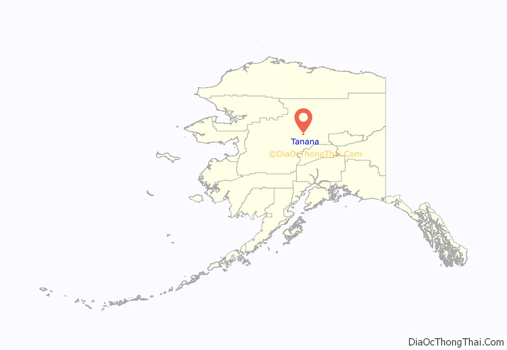
Tanana location map. Where is Tanana city?
History
Prior to arrival of colonizers in early 1860, the point of land at the confluence of the Tanana and Yukon Rivers (Nuchalawoyyet, spelled differently in historic accounts) was a traditional meeting and trading place used by members of several indigenous groups. There were as many as five different Athabascan languages spoken in the area in 1868 when the French-Canadian François Xavier Mercier established the first fur trading-post in the area. Noukelakayet Station, later known as Fort Adams, was located on the north bank of the Yukon, about 15 miles downstream from the mouth of the Tanana River.
Subsequently, an Anglican mission and several other trading posts were established nearby. In 1898 the U.S. Army, under the leadership of Capt. P.H. Ray, founded Ft. Gibbon at the present location of Tanana. Ft. Gibbon’s purpose was to oversee shipping and trading, maintain civil order, and install and take care of telegraph lines connecting to Nome and to Tanana Crossing, on the way to Valdez. All other Euro-American activities in the area near the Tanana-Yukon confluence moved upriver to accommodate Ft. Gibbon and the increased steamboat traffic caused by gold seekers. St. James Church moved to the present site of Tanana to serve the Euro-American population, and the Mission of Our Savior was constructed at the bottom of a hill opposite the confluence. The mission site became a center of activity for indigenous people in the area. Ft. Gibbon closed in 1923, but the town and mission remained.
In the 1930s a regional hospital was built in Tanana, and the Native Village of Tanana was officially chartered by the U.S. Bureau of Indian Affairs in 1939. The hospital served people throughout most of the rural northern regions of Alaska until 1982. During World War II Tanana’s airfield was one of the stops for aircraft en route to Russia as part of the Lend-Lease program. Postwar, a White Alice communications site was built on a hill nine miles behind Tanana, as a part of the Cold War Era’s Distant Early Warning system (DEW-Line). Also during the 1950s the mission closed and the indigenous families still living at the mission site moved down to the main town.
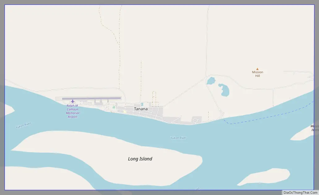
Tanana Road Map
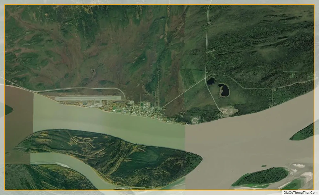
Tanana city Satellite Map
Geography
Tanana is located at the confluence of the tributary Tanana and the Yukon River.
According to the United States Census Bureau, the city has a total area of 15.6 square miles (40 km), of which 11.6 square miles (30 km) of it is land and 4.0 square miles (10 km) of it (25.80%) is water.
Tanana is about 130 miles (210 km) west of Fairbanks. Extreme temperatures have ranged from −76 °F (−60 °C) on January 27, 1989, to 94 °F (34 °C) as recently as June 15, 1969.
See also
Map of Alaska State and its subdivision:- Aleutians East
- Aleutians West
- Anchorage
- Bethel
- Bristol Bay
- Denali
- Dillingham
- Fairbanks North Star
- Haines
- Juneau
- Kenai Peninsula
- Ketchikan Gateway
- Kodiak Island
- Lake and Peninsula
- Matanuska-Susitna
- Nome
- North Slope
- Northwest Arctic
- Prince of Wales-Outer Ketchi
- Sitka
- Skagway-Yakutat-Angoon
- Southeast Fairbanks
- Valdez-Cordova
- Wade Hampton
- Wrangell-Petersburg
- Yukon-Koyukuk
- Alabama
- Alaska
- Arizona
- Arkansas
- California
- Colorado
- Connecticut
- Delaware
- District of Columbia
- Florida
- Georgia
- Hawaii
- Idaho
- Illinois
- Indiana
- Iowa
- Kansas
- Kentucky
- Louisiana
- Maine
- Maryland
- Massachusetts
- Michigan
- Minnesota
- Mississippi
- Missouri
- Montana
- Nebraska
- Nevada
- New Hampshire
- New Jersey
- New Mexico
- New York
- North Carolina
- North Dakota
- Ohio
- Oklahoma
- Oregon
- Pennsylvania
- Rhode Island
- South Carolina
- South Dakota
- Tennessee
- Texas
- Utah
- Vermont
- Virginia
- Washington
- West Virginia
- Wisconsin
- Wyoming


