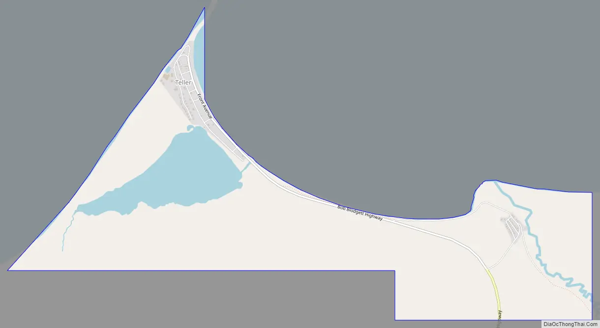
Teller (Inupiaq: Tala or Iġaluŋniaġvik) is a city in the Nome Census Area, Alaska, United States. At the 2010 census the population was 229, a decrease from 268 in 2000.
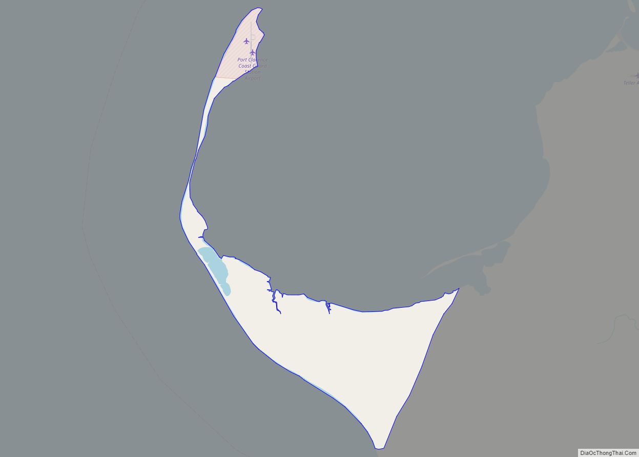
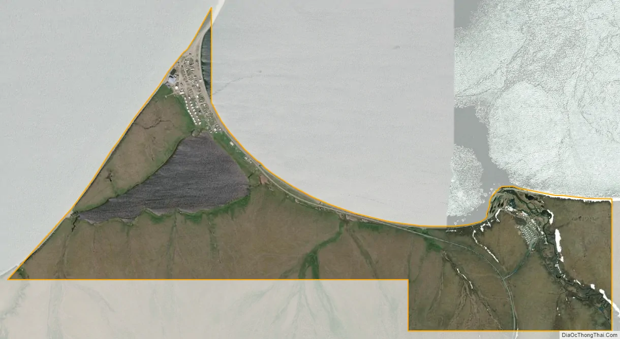
It is situated on the southern half of the spit called Nuuk in Inupiaq, which separates Port Clarence Bay (see also Port Clarence, Alaska) and Grantley Harbor, at the outlet of the Imuruk Basin.
| Name: | Teller city |
|---|---|
| LSAD Code: | 25 |
| LSAD Description: | city (suffix) |
| State: | Alaska |
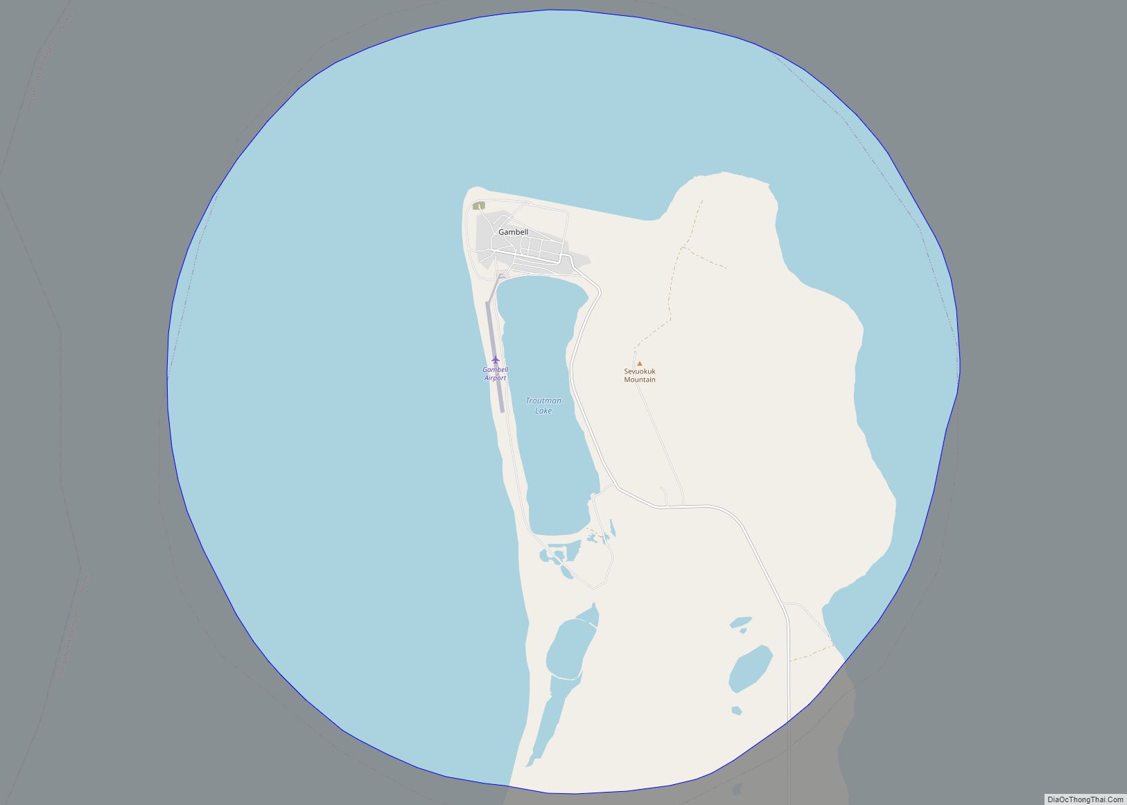
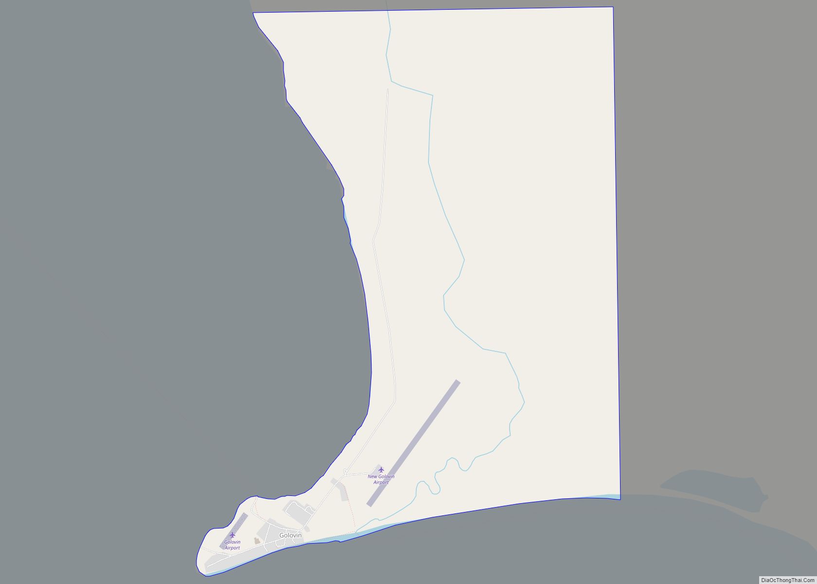
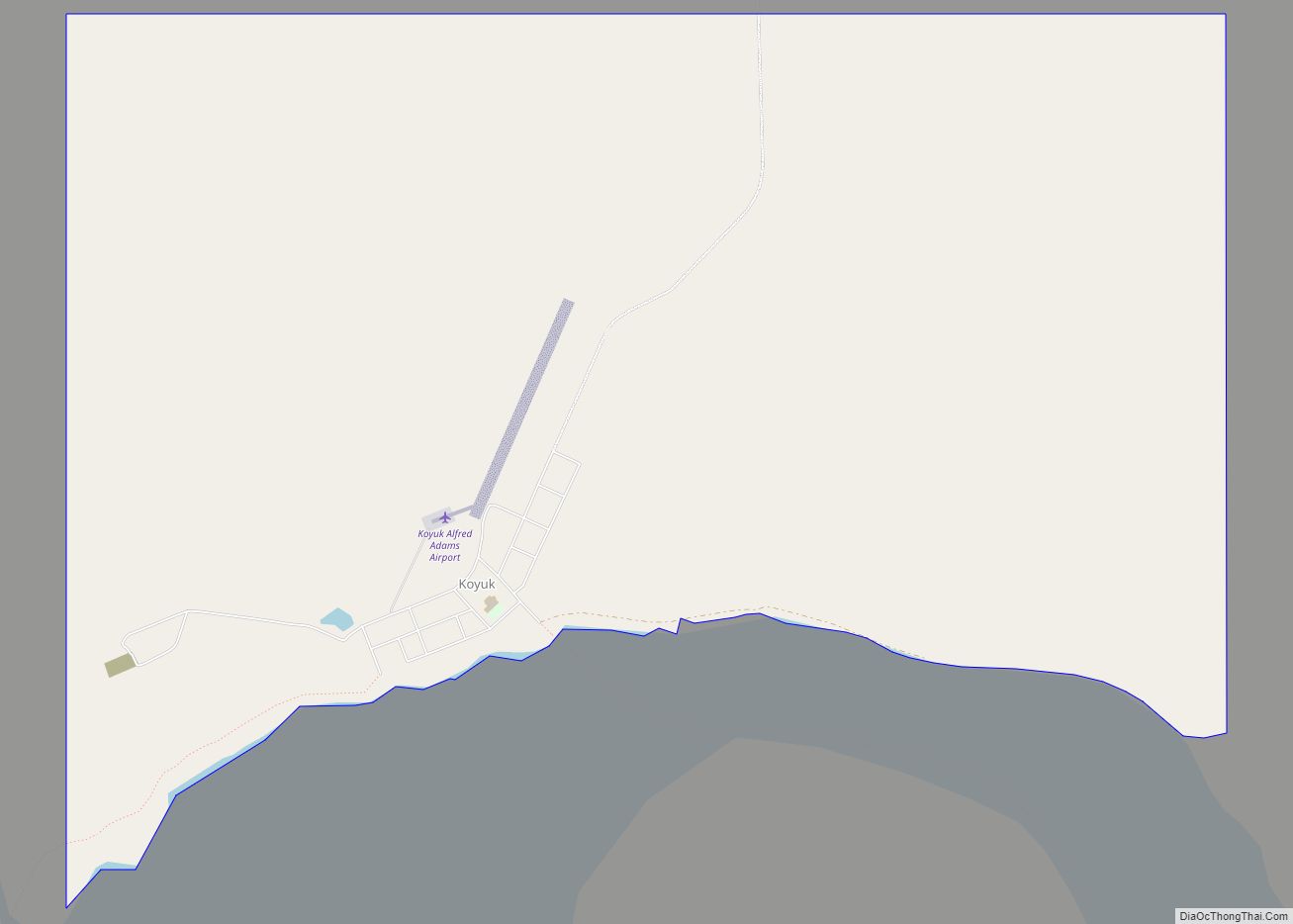
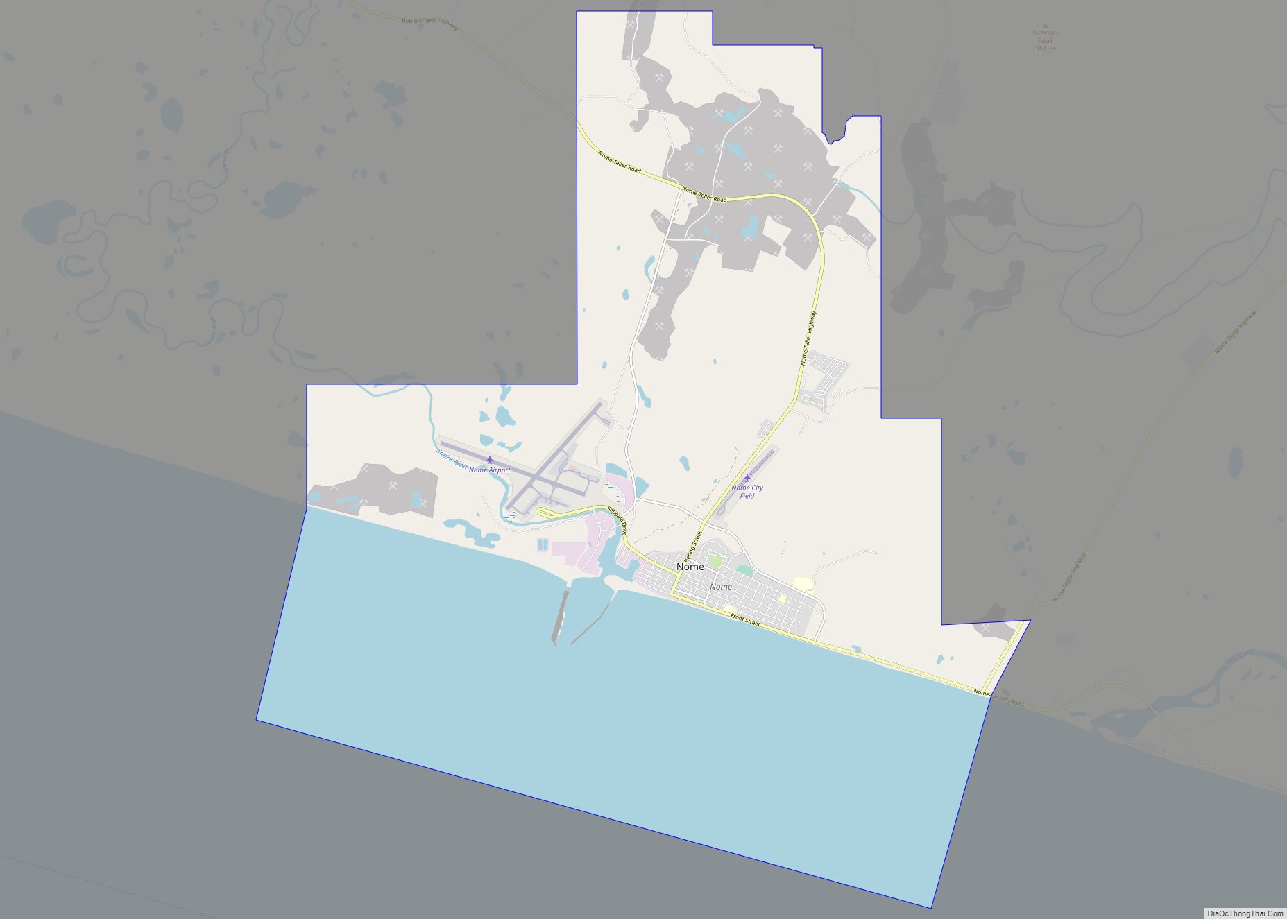
| County: | Nome Census Area |
| Incorporated: | October 10, 1963 |
| Elevation: | 0 ft (0 m) |
| Total Area: | 1.68 sq mi (4.35 km²) |
| Land Area: | 1.49 sq mi (3.87 km²) |
| Water Area: | 0.19 sq mi (0.49 km²) |
| Total Population: | 249 |
| Population Density: | 166.89/sq mi (64.42/km²) |
| ZIP code: | 99778 |
| Area code: | 907 |
| FIPS code: | 0275930 |
| GNISfeature ID: | 1410730 |
Online Interactive Map
Click on ![]() to view map in "full screen" mode.
to view map in "full screen" mode.
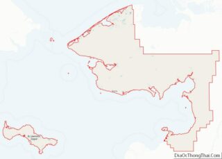
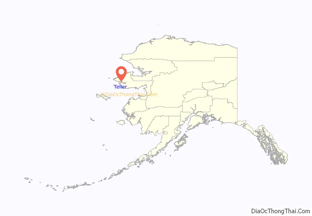
Teller location map. Where is Teller city?
History
The Inupiat had a fishing camp called Nuuk 32 km (20 mi) south of Teller in the early 19th century. The 1825-28 Beechey expedition found three camps with a total of some 400 inhabitants and a winter camp site with burial grounds in a roughly 10-mile (16 km) radius around the later site of Teller on September 1, 1827.
An expedition from the Western Union telegraph spent the winter at the present site of Teller in 1866 and 1867; they called it Libbyville or Libby Station. When the United States Government introduced reindeer herding in Alaska, the Teller Reindeer Station operated from 1892 to 1900 at a nearby site. The station was named for United States Senator and Secretary of the Interior Henry Moore Teller in 1892 by Sheldon Jackson.
Teller was established in 1900 after the Bluestone Placer Mine discovery 25 km (16 mi) to the south. It took its name from the reindeer herding station. During the boom years in the early 20th century, Teller had a population of about 5,000 and was a major regional trading center. Natives from Diomede, Wales, Mary’s Igloo, and King Island came to trade there.
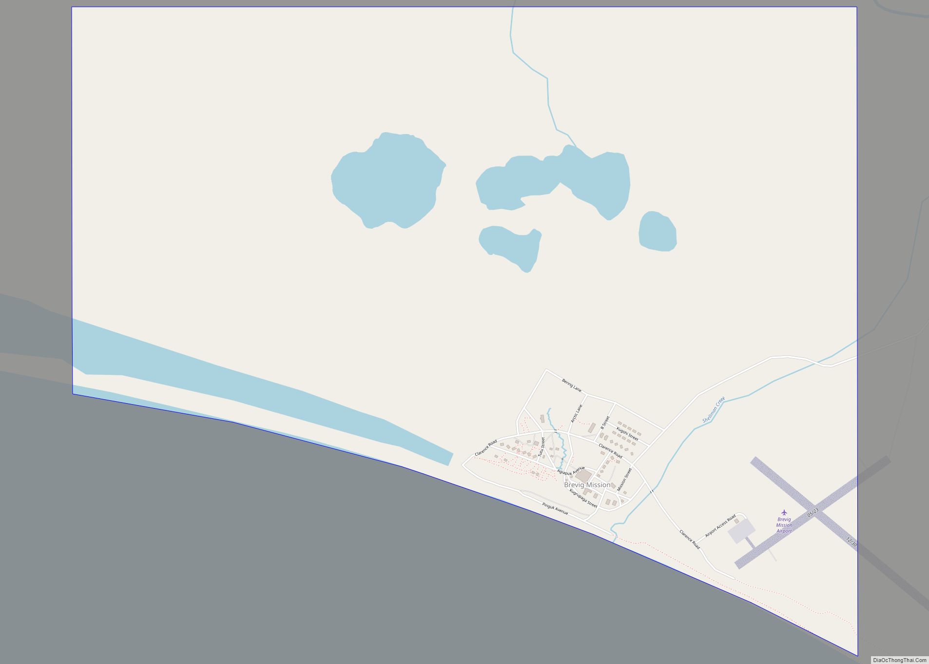
The Norwegian Evangelical Lutheran Church built Teller Mission across the harbor from Teller in 1900. The mission was renamed Brevig Mission in 1903, after the Reverend T.L. Brevig, who also served briefly as Teller’s first postmaster, a post to which he was appointed 2 April 1900.
The dirigible Norge detoured to Teller on its first flight over the North Pole from Norway to Nome in 1926. Many present residents of Teller came from Mary’s Igloo. Mary’s Igloo is now a summer fishing camp and has no permanent residents.
Today, Teller is an Inupiat village that depends on subsistence hunting and fishing.
Teller Road Map
Teller city Satellite Map
Geography
Teller is located on a spit 116 km (72 mi) northwest of Nome on the Seward Peninsula.
According to the United States Census Bureau, the city has a total area of 2.1 square miles (5.4 km), of which 1.9 square miles (4.9 km) is land and 0.2 square miles (0.52 km) (9.00%) is water.
Climate
Teller has a continental subarctic climate (Köppen Dfc), although its climate nearly qualifies as a tundra climate (Köppen ET).
See also
Map of Alaska State and its subdivision:- Aleutians East
- Aleutians West
- Anchorage
- Bethel
- Bristol Bay
- Denali
- Dillingham
- Fairbanks North Star
- Haines
- Juneau
- Kenai Peninsula
- Ketchikan Gateway
- Kodiak Island
- Lake and Peninsula
- Matanuska-Susitna
- Nome
- North Slope
- Northwest Arctic
- Prince of Wales-Outer Ketchi
- Sitka
- Skagway-Yakutat-Angoon
- Southeast Fairbanks
- Valdez-Cordova
- Wade Hampton
- Wrangell-Petersburg
- Yukon-Koyukuk
- Alabama
- Alaska
- Arizona
- Arkansas
- California
- Colorado
- Connecticut
- Delaware
- District of Columbia
- Florida
- Georgia
- Hawaii
- Idaho
- Illinois
- Indiana
- Iowa
- Kansas
- Kentucky
- Louisiana
- Maine
- Maryland
- Massachusetts
- Michigan
- Minnesota
- Mississippi
- Missouri
- Montana
- Nebraska
- Nevada
- New Hampshire
- New Jersey
- New Mexico
- New York
- North Carolina
- North Dakota
- Ohio
- Oklahoma
- Oregon
- Pennsylvania
- Rhode Island
- South Carolina
- South Dakota
- Tennessee
- Texas
- Utah
- Vermont
- Virginia
- Washington
- West Virginia
- Wisconsin
- Wyoming