Togiak (Central Yupik: Tuyuryaq) is a city in Dillingham Census Area, Alaska, United States. At the 2010 census the population was 817, up from 809 in 2000.
| Name: | Togiak city |
|---|---|
| LSAD Code: | 25 |
| LSAD Description: | city (suffix) |
| State: | Alaska |
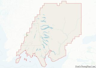
| County: | Dillingham Census Area |
| Incorporated: | June 23, 1969 |
| Elevation: | 3 ft (1 m) |
| Total Area: | 224.65 sq mi (581.84 km²) |
| Land Area: | 42.01 sq mi (108.81 km²) |
| Water Area: | 182.64 sq mi (473.03 km²) |
| Total Population: | 817 |
| Population Density: | 19.45/sq mi (7.51/km²) |
| ZIP code: | 99678 |
| Area code: | 907 |
| FIPS code: | 0277690 |
| GNISfeature ID: | 1411039 |
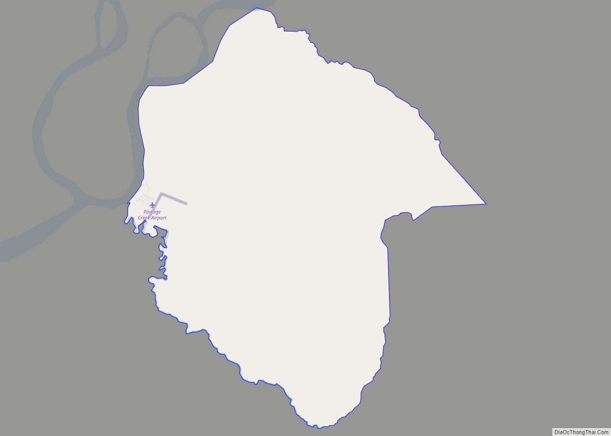
Online Interactive Map
Click on ![]() to view map in "full screen" mode.
to view map in "full screen" mode.
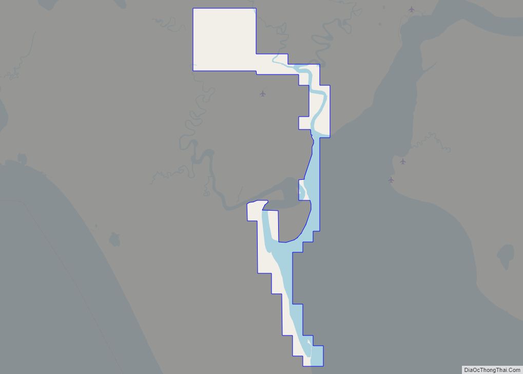
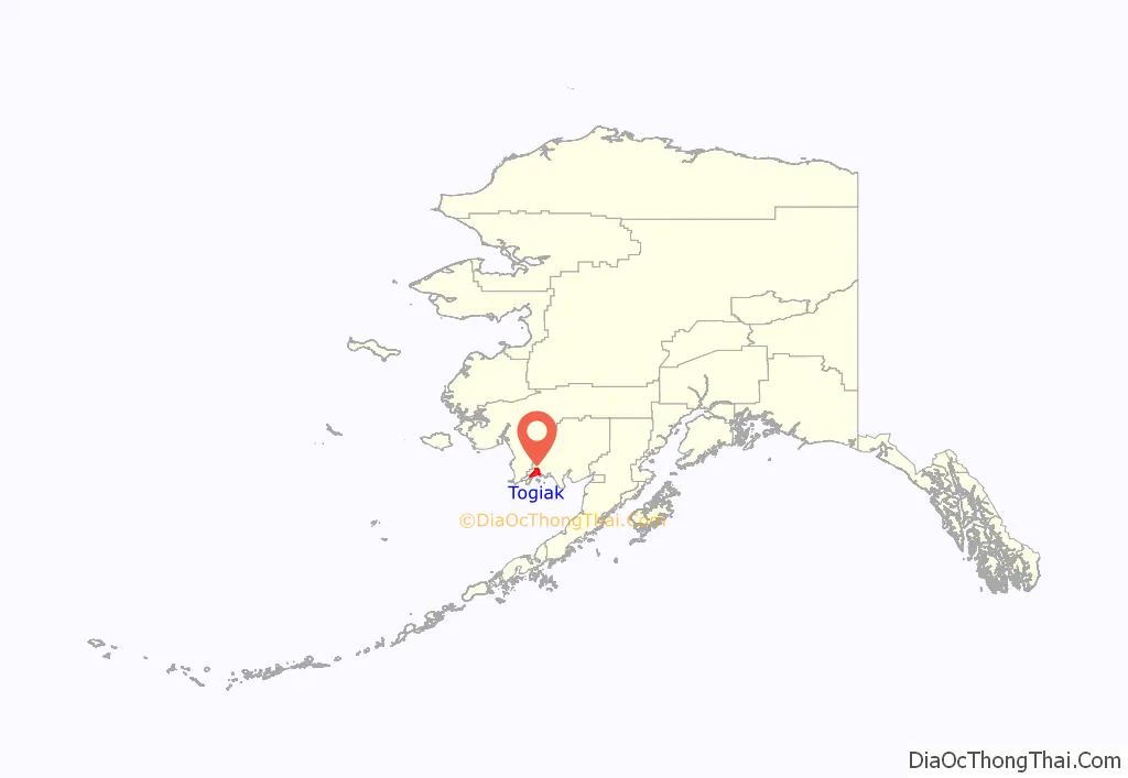
Togiak location map. Where is Togiak city?
History
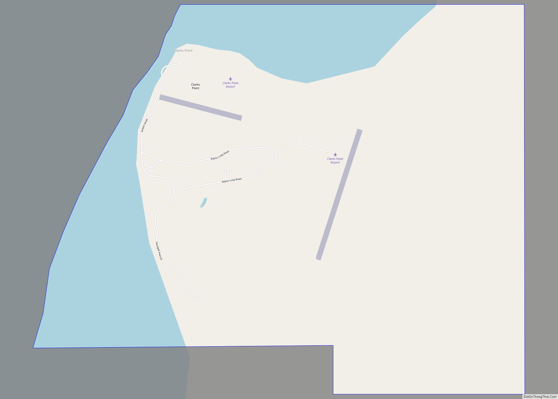
Togiak is the successor village of two earlier Inuit villages, Togiagamute (Togiagamiut) & Togiak Station (also known as Togiak or Owens). The prior two villages were on the eastern side of Togiak Bay. By the early 20th century, heavy winter snowfalls made wood gathering difficult, so residents began to relocate to the west side of the bay to the new village of Togiak, which first appeared on the 1920 census. The earlier village of Togiagamute is now within the adjacent Twin Hills CDP, and the old site is still occupied. Togiak Station, about 7 miles south of the former Togiagamute, is now a ghost.
The Togiak area became a draw for natives in the vicinity after the devastating influenza pandemic of 1918–19, which had almost wiped out many villages. Togiak was flooded in 1964, which prompted some residents to relocate and establish the new community of Twin Hills, northeast of the original village of Togiagamute on the upper east side of the bay.
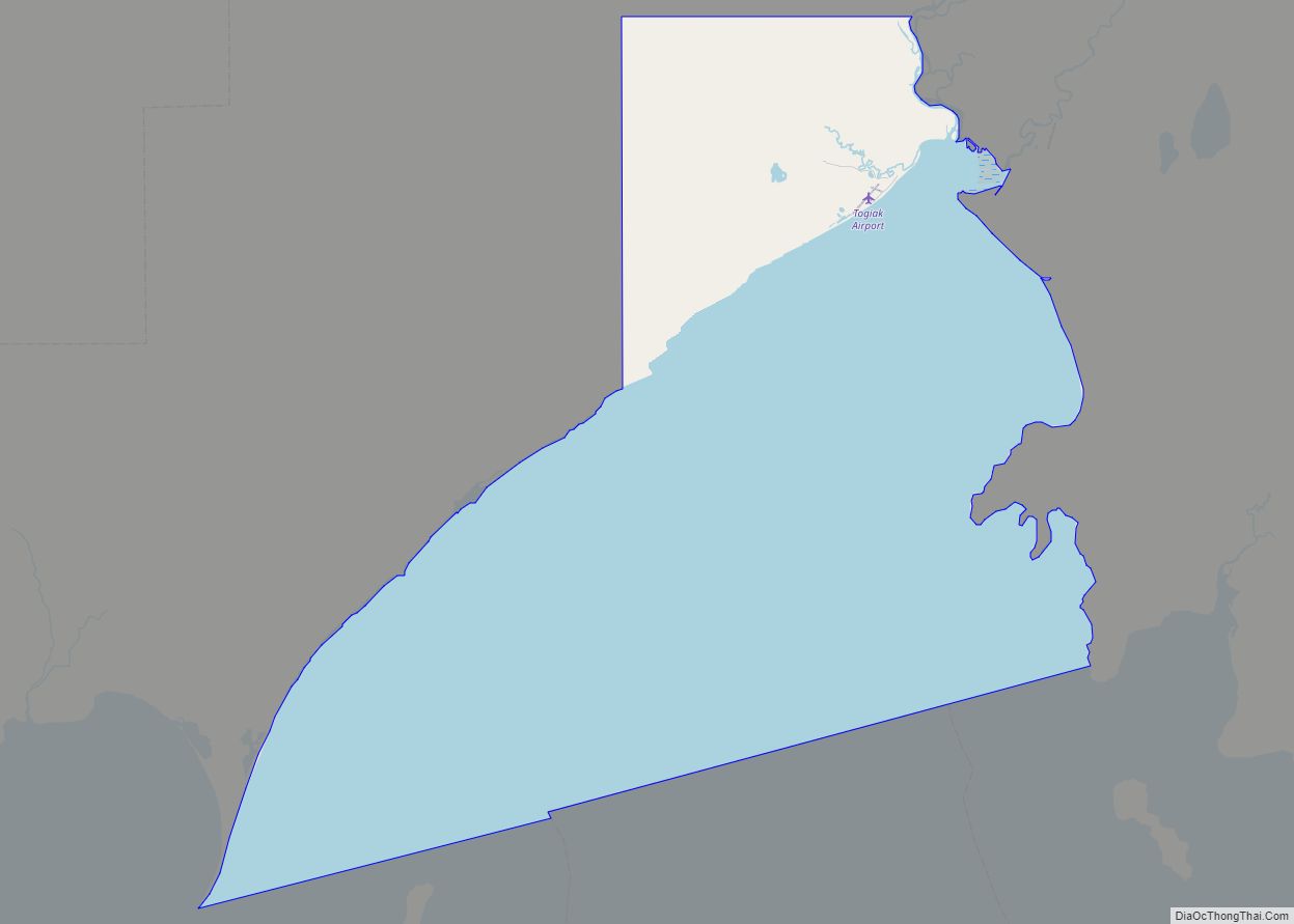
Togiak Road Map
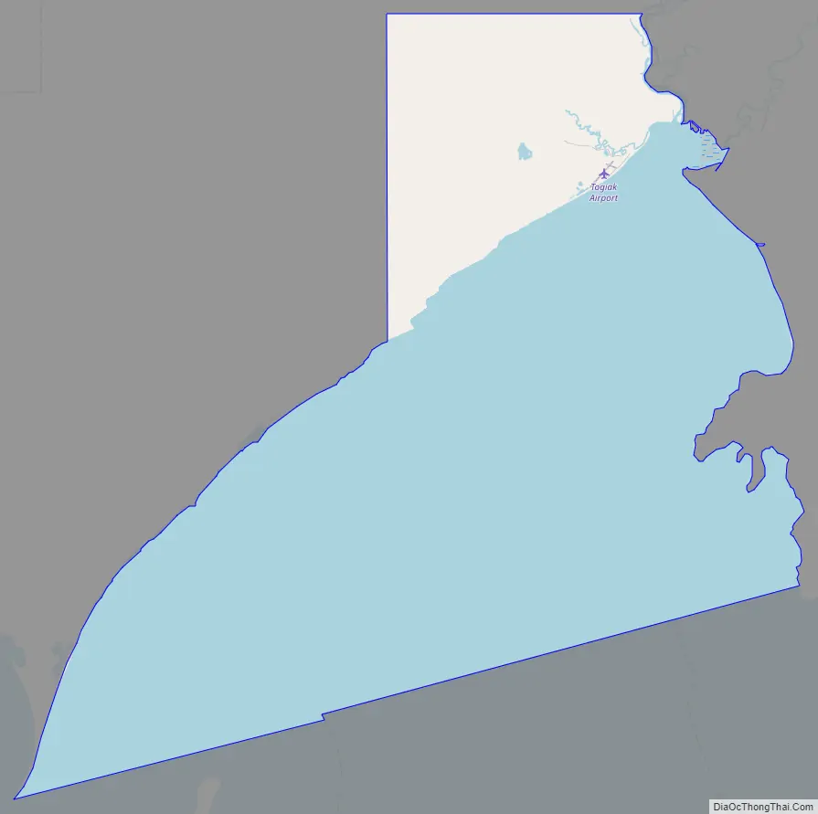
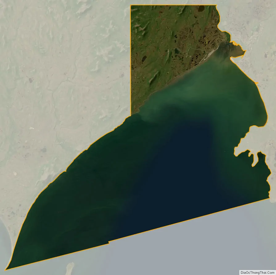
Togiak city Satellite Map
Geography
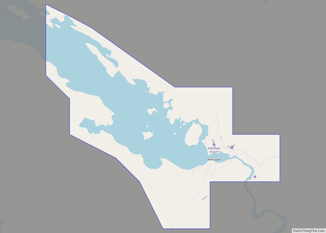
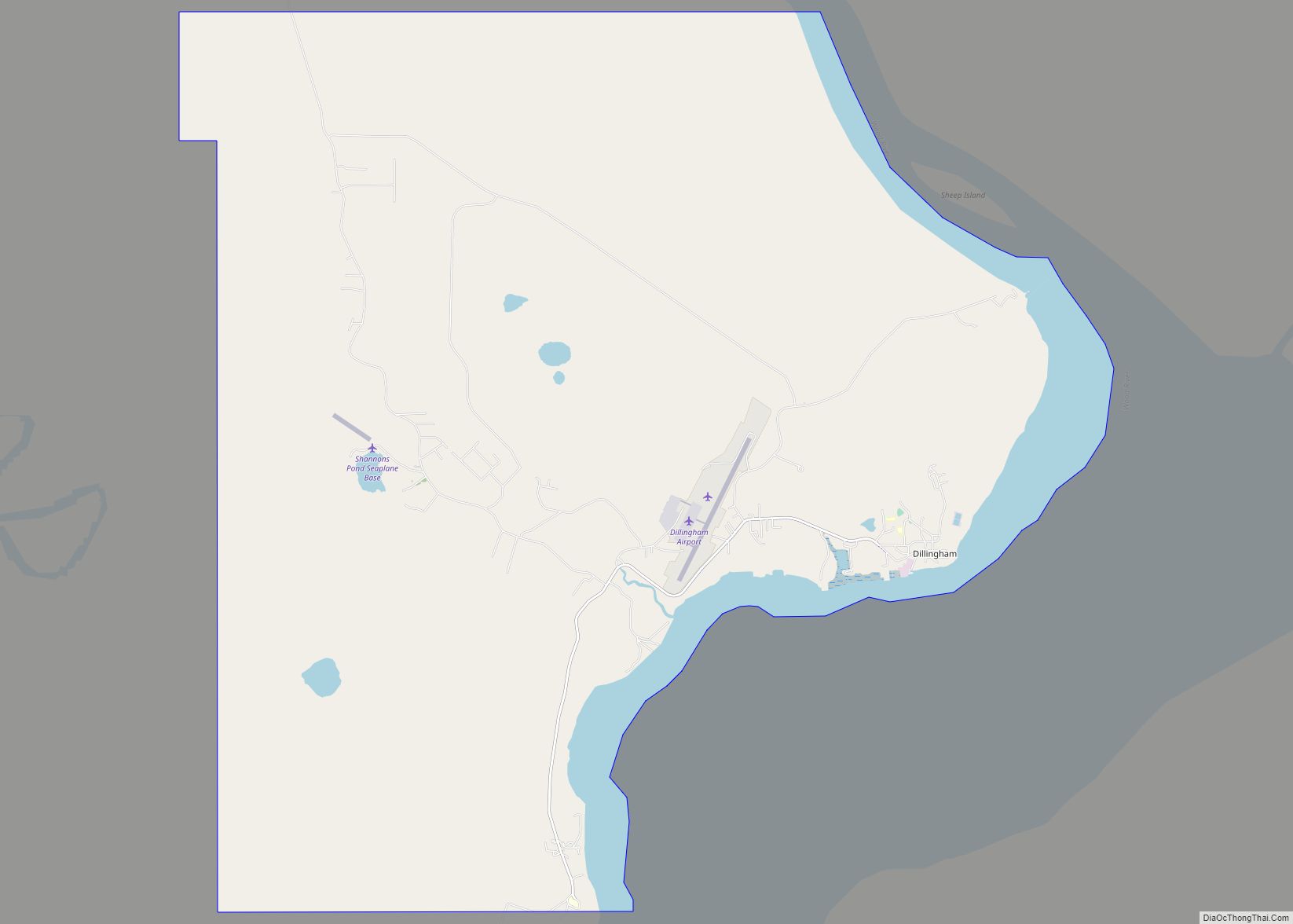
Togiak is located at 59°3′33″N 160°22′59″W / 59.05917°N 160.38306°W / 59.05917; -160.38306 (59.059134, -160.383186), at the head of Togiak Bay, 67 miles (108 km) west of Dillingham. It lies in Togiak National Wildlife Refuge, and is the gateway to Walrus Island Game Sanctuary. Togiak is in a climatic transition zone; however, the Arctic climate also affects the region. Average summer temperatures range from 37 to 66 °F (3 to 19 °C); winter temperatures range from −45 to 30 °F (−43 to −1 °C).
According to the United States Census Bureau, the city has a total area of 226.3 square miles (586.0 km), of which 44.4 square miles (115.0 km) is land and 181.8 square miles (470.9 km), or 80.37%, is water.
See also
Map of Alaska State and its subdivision:- Aleutians East
- Aleutians West
- Anchorage
- Bethel
- Bristol Bay
- Denali
- Dillingham
- Fairbanks North Star
- Haines
- Juneau
- Kenai Peninsula
- Ketchikan Gateway
- Kodiak Island
- Lake and Peninsula
- Matanuska-Susitna
- Nome
- North Slope
- Northwest Arctic
- Prince of Wales-Outer Ketchi
- Sitka
- Skagway-Yakutat-Angoon
- Southeast Fairbanks
- Valdez-Cordova
- Wade Hampton
- Wrangell-Petersburg
- Yukon-Koyukuk
- Alabama
- Alaska
- Arizona
- Arkansas
- California
- Colorado
- Connecticut
- Delaware
- District of Columbia
- Florida
- Georgia
- Hawaii
- Idaho
- Illinois
- Indiana
- Iowa
- Kansas
- Kentucky
- Louisiana
- Maine
- Maryland
- Massachusetts
- Michigan
- Minnesota
- Mississippi
- Missouri
- Montana
- Nebraska
- Nevada
- New Hampshire
- New Jersey
- New Mexico
- New York
- North Carolina
- North Dakota
- Ohio
- Oklahoma
- Oregon
- Pennsylvania
- Rhode Island
- South Carolina
- South Dakota
- Tennessee
- Texas
- Utah
- Vermont
- Virginia
- Washington
- West Virginia
- Wisconsin
- Wyoming