Twin Hills (Central Yupik: Ingricuar) is a census-designated place (CDP) in Dillingham Census Area, Alaska, United States. The population was 74 at the 2010 census, up from 69 in 2000.
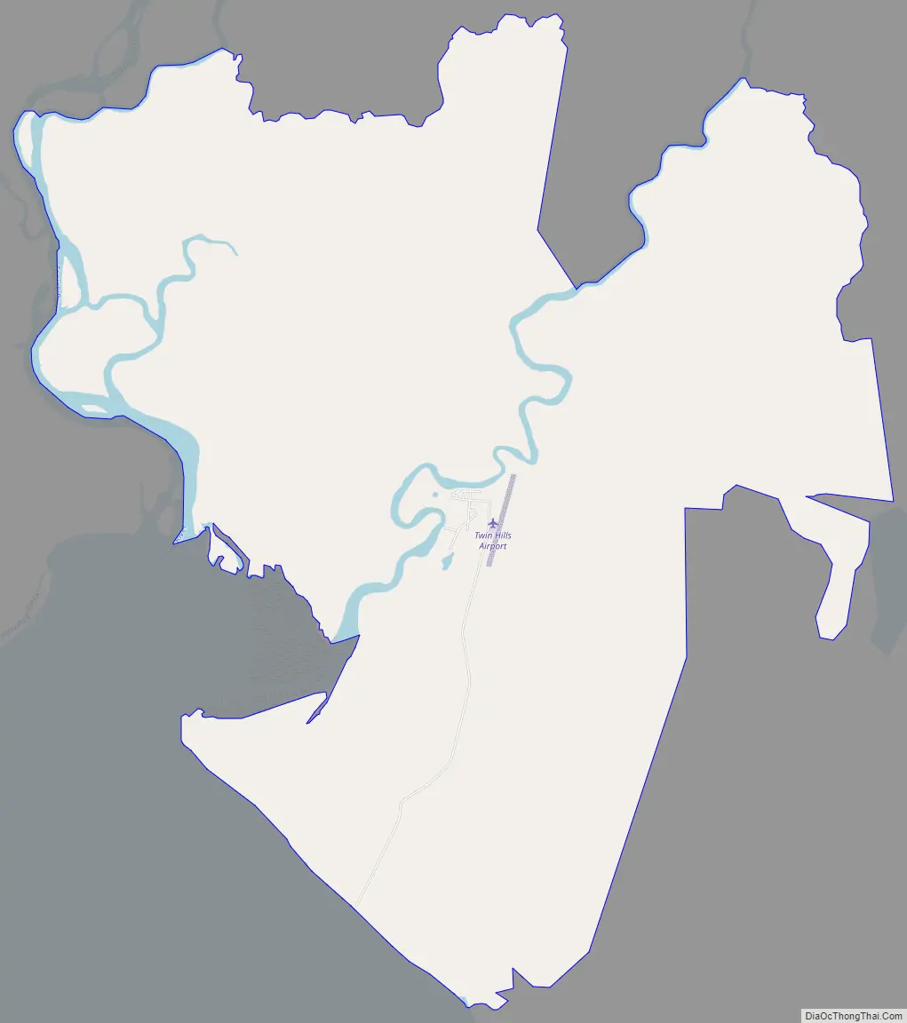
Although Twin Hills wasn’t settled until 1965, the present CDP encompasses the original settlement of Togiak (then Togiagamute) on the northeast side of Togiak Bay. In the early 20th century, many residents removed to the northwest side of the bay to establish the “new” Togiak.
| Name: | Twin Hills CDP |
|---|---|
| LSAD Code: | 57 |
| LSAD Description: | CDP (suffix) |
| State: | Alaska |
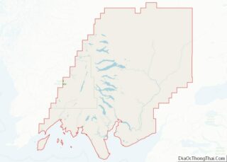
| County: | Dillingham Census Area |
| Elevation: | 10 ft (3 m) |
| Total Area: | 23.04 sq mi (59.67 km²) |
| Land Area: | 22.90 sq mi (59.32 km²) |
| Water Area: | 0.14 sq mi (0.35 km²) |
| Total Population: | 103 |
| Population Density: | 4.50/sq mi (1.74/km²) |
| ZIP code: | 99576 |
| Area code: | 907 |
| FIPS code: | 0279780 |
Online Interactive Map
Click on ![]() to view map in "full screen" mode.
to view map in "full screen" mode.
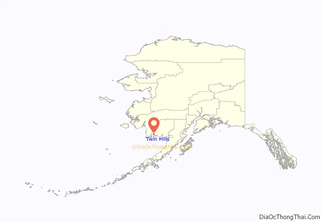
Twin Hills location map. Where is Twin Hills CDP?
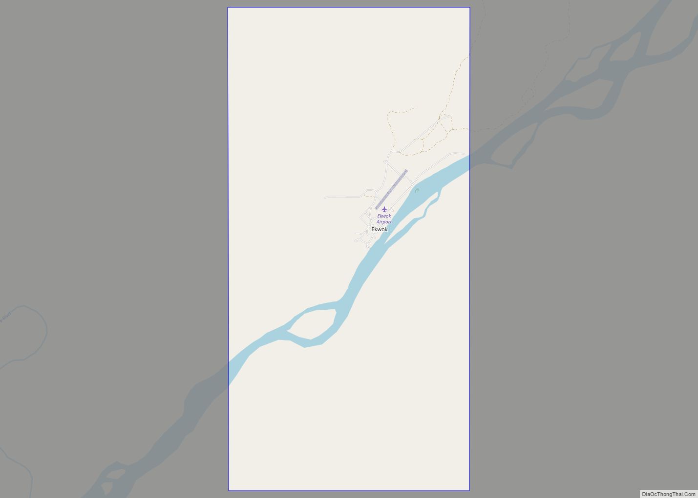
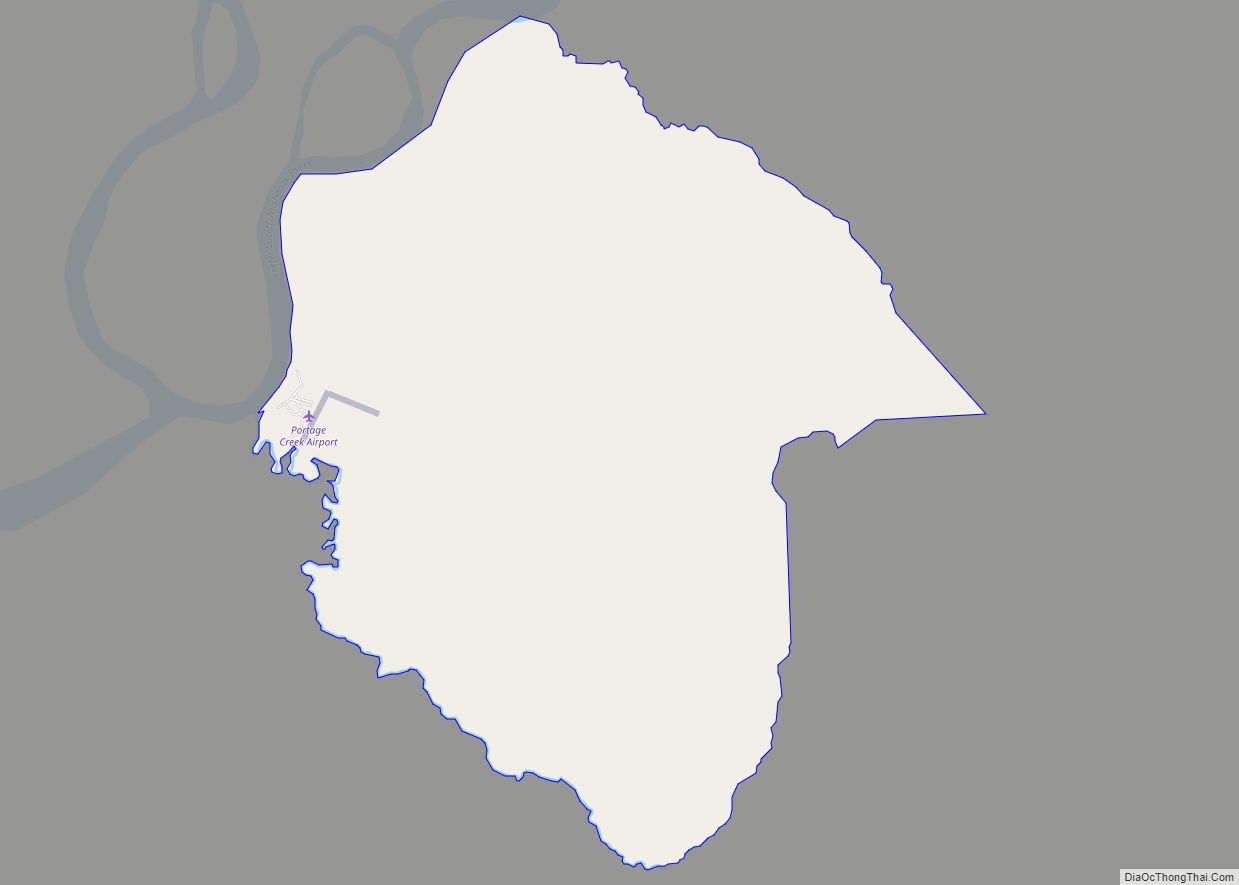
Twin Hills Road Map
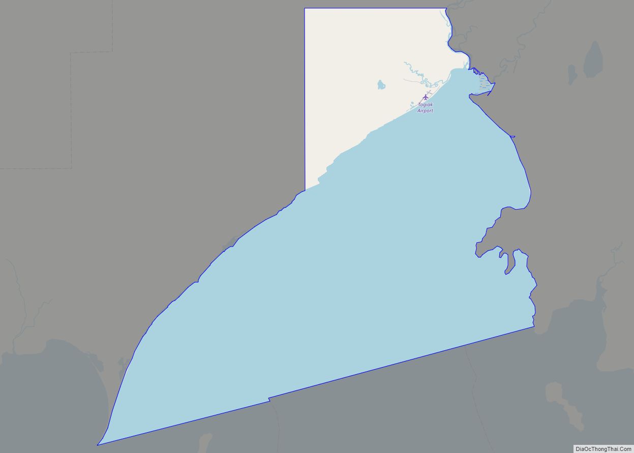
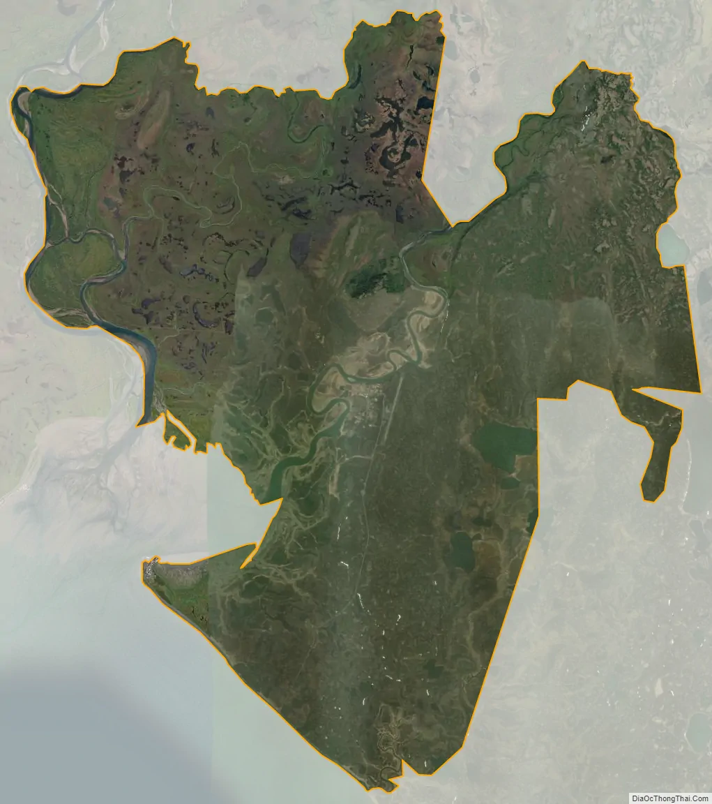
Twin Hills city Satellite Map
Geography
Twin Hills is located at 59°4′41″N 160°17′4″W / 59.07806°N 160.28444°W / 59.07806; -160.28444 (59.077924, -160.284513), at the northeast end of Togiak Bay and adjacent to the city of Togiak.
According to the United States Census Bureau, the CDP has a total area of 23.1 square miles (59.7 km), of which 22.8 square miles (59.0 km) is land and 0.3 square miles (0.7 km), or 1.15%, is water.
See also
Map of Alaska State and its subdivision:- Aleutians East
- Aleutians West
- Anchorage
- Bethel
- Bristol Bay
- Denali
- Dillingham
- Fairbanks North Star
- Haines
- Juneau
- Kenai Peninsula
- Ketchikan Gateway
- Kodiak Island
- Lake and Peninsula
- Matanuska-Susitna
- Nome
- North Slope
- Northwest Arctic
- Prince of Wales-Outer Ketchi
- Sitka
- Skagway-Yakutat-Angoon
- Southeast Fairbanks
- Valdez-Cordova
- Wade Hampton
- Wrangell-Petersburg
- Yukon-Koyukuk
- Alabama
- Alaska
- Arizona
- Arkansas
- California
- Colorado
- Connecticut
- Delaware
- District of Columbia
- Florida
- Georgia
- Hawaii
- Idaho
- Illinois
- Indiana
- Iowa
- Kansas
- Kentucky
- Louisiana
- Maine
- Maryland
- Massachusetts
- Michigan
- Minnesota
- Mississippi
- Missouri
- Montana
- Nebraska
- Nevada
- New Hampshire
- New Jersey
- New Mexico
- New York
- North Carolina
- North Dakota
- Ohio
- Oklahoma
- Oregon
- Pennsylvania
- Rhode Island
- South Carolina
- South Dakota
- Tennessee
- Texas
- Utah
- Vermont
- Virginia
- Washington
- West Virginia
- Wisconsin
- Wyoming