Unalakleet (/ˈjuːnələkliːt/ YOO-nə-lə-kleet; Inupiaq: Uŋalaqłiq, IPA: [uŋɐlɑχɬeq]; Russian: Уналаклит) is a city in Nome Census Area, Alaska, United States, in the western part of the state. At the 2010 census the population was 688, down from 747 in 2000. Unalakleet is known in the region and around Alaska for its salmon and king crab harvests; the residents rely for much of their diet on caribou, ptarmigan, oogruk (bearded seal), and various salmon species.
Unalakleet is also known for its aesthetic value. It is located next to the Bering Sea and the large, clean Unalakleet River. The landscape also has trees, tundra, and hills behind it.
| Name: | Unalakleet city |
|---|---|
| LSAD Code: | 25 |
| LSAD Description: | city (suffix) |
| State: | Alaska |
| County: | Nome Census Area |
| Incorporated: | 1974 |
| Elevation: | 7 ft (2 m) |
| Total Area: | 4.95 sq mi (12.81 km²) |
| Land Area: | 2.86 sq mi (7.41 km²) |
| Water Area: | 2.08 sq mi (5.40 km²) |
| Total Population: | 765 |
| Population Density: | 267.30/sq mi (103.20/km²) |
| ZIP code: | 99684 |
| Area code: | 907 |
| FIPS code: | 0280660 |
| GNISfeature ID: | 1411517 |
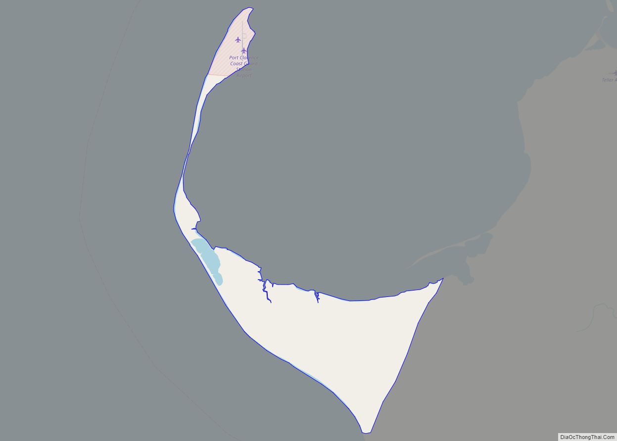
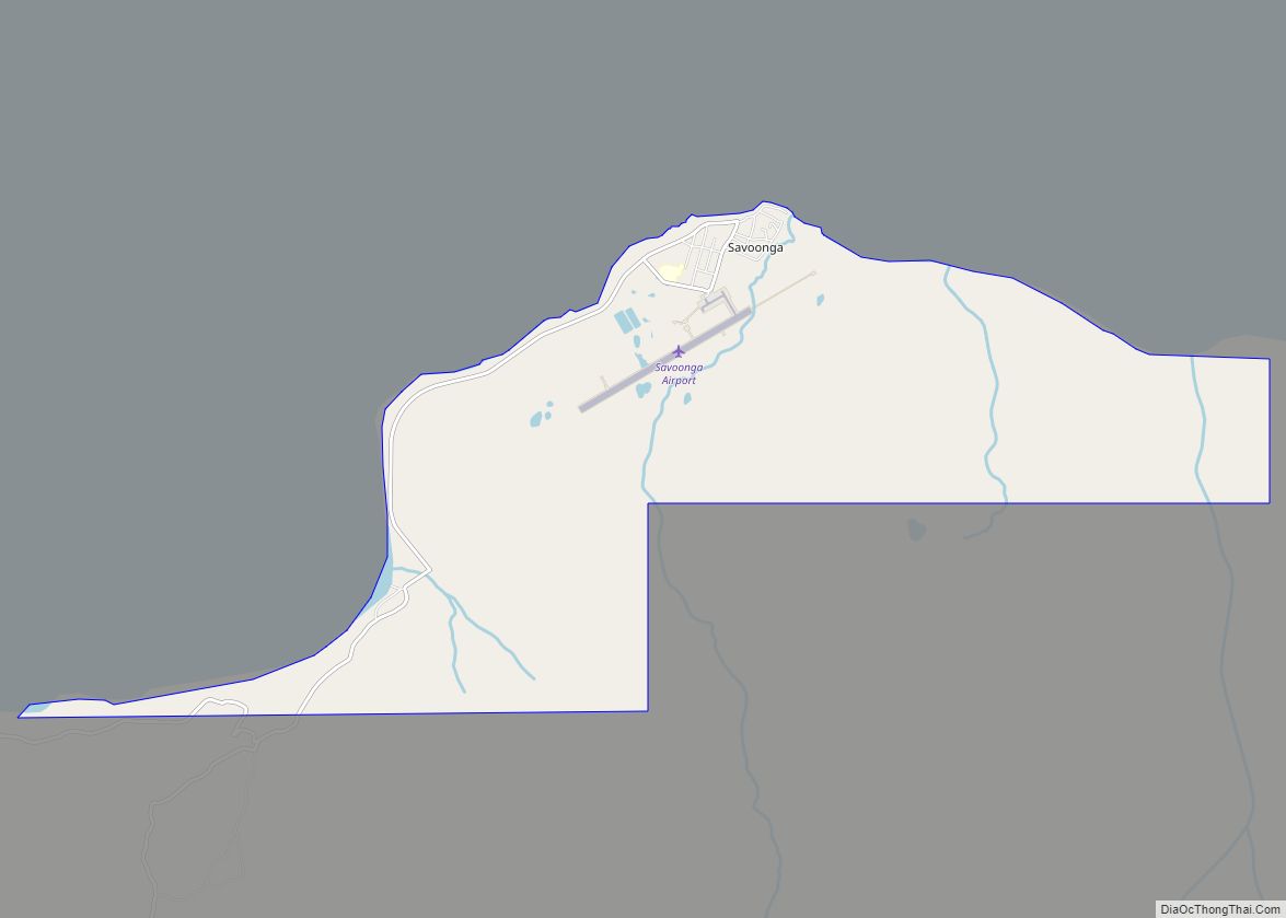
Online Interactive Map
Click on ![]() to view map in "full screen" mode.
to view map in "full screen" mode.
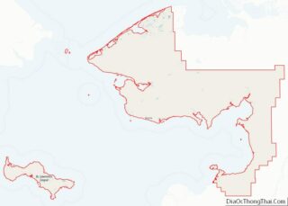
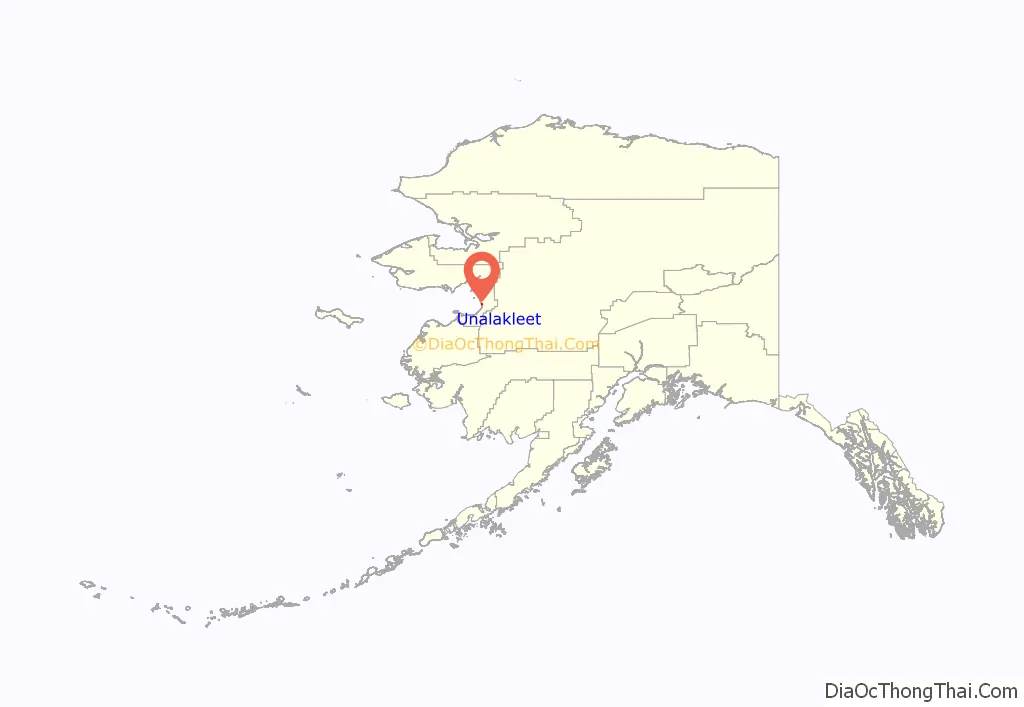
Unalakleet location map. Where is Unalakleet city?
History
Unalakleet is an adaptation of the Iñupiaq word “Una-la-thliq”, which means “from the southern side”.
Unalakleet is located at the Norton Sound end of the Unalakleet-Kaltag Portage, an important winter travel route between Norton Sound and the Yukon River. Unalakleet has long been a major trade center between the Athabascan people, who lived in the interior of Alaska, and the Inupiat, who lived on the coast.
In the 1830s Russian explorers and traders came: The Russian-American Company built a trading post here at Unalakleet. In 1898 the United States arranged for Sami reindeer herders from Lapland to be brought to Unalakleet, to work with the people about herding practices. In 1901, the United States Army Signal Corps built a 605-mile (974 km) telegraph line from St. Michael that passed through Unalakleet.
Unalakleet Road Map
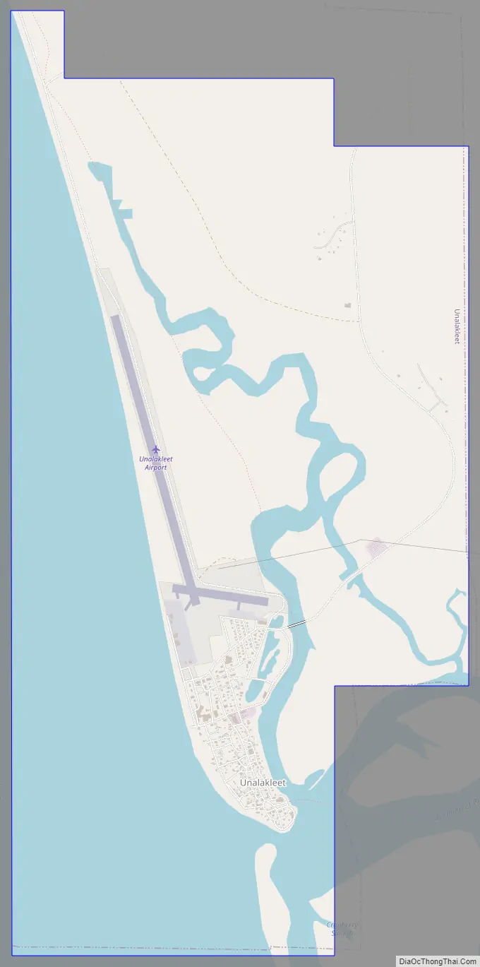
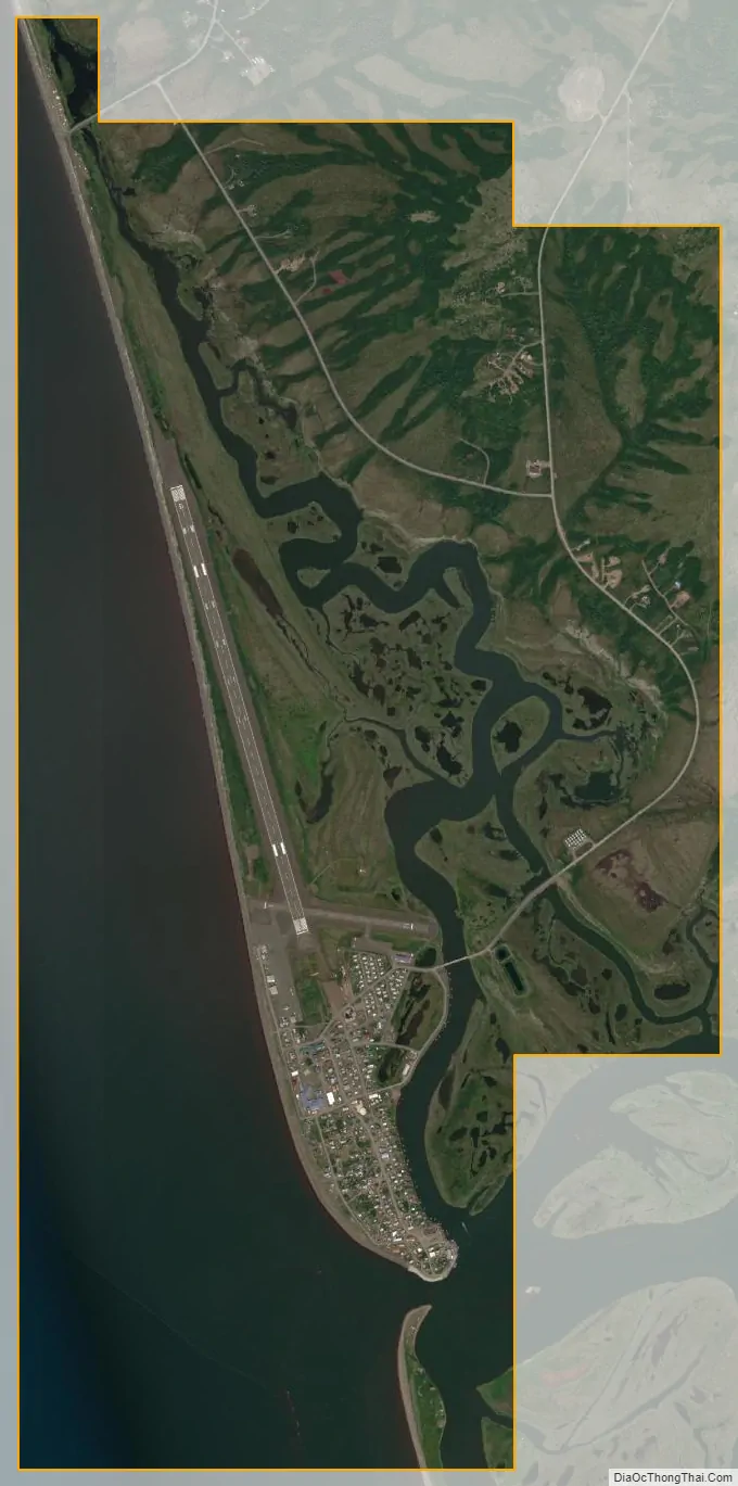
Unalakleet city Satellite Map
Geography
Unalakleet is located at 63°52′44″N 160°47′23″W / 63.87889°N 160.78972°W / 63.87889; -160.78972 (63.878907, -160.789680).
Unalakleet is located on the Norton Sound of the Bering Sea at the mouth of the Unalakleet River, 148 miles (238 km) southeast of Nome and 395 miles (636 km) northwest of Anchorage. Unalakleet has a subarctic climate (Koppen: Dfc) with considerable maritime influences. Winters are cold and dry. Average summer temperatures range 47 to 62 °F (8 to 17 °C); winter temperatures range from −40 to 11 °F (−40 to −12 °C). Precipitation averages 14 inches (360 mm) annually, with 41 inches (100 cm) of snow. Despite its coastal location it has minimal seasonal lag, and December is the coldest month.
According to the United States Census Bureau, the city has a total area of 5.1 square miles (13 km), of which, 2.9 square miles (7.5 km) of it is land and 2.3 square miles (6.0 km) of it (44.25%) is water.
See also
Map of Alaska State and its subdivision:- Aleutians East
- Aleutians West
- Anchorage
- Bethel
- Bristol Bay
- Denali
- Dillingham
- Fairbanks North Star
- Haines
- Juneau
- Kenai Peninsula
- Ketchikan Gateway
- Kodiak Island
- Lake and Peninsula
- Matanuska-Susitna
- Nome
- North Slope
- Northwest Arctic
- Prince of Wales-Outer Ketchi
- Sitka
- Skagway-Yakutat-Angoon
- Southeast Fairbanks
- Valdez-Cordova
- Wade Hampton
- Wrangell-Petersburg
- Yukon-Koyukuk
- Alabama
- Alaska
- Arizona
- Arkansas
- California
- Colorado
- Connecticut
- Delaware
- District of Columbia
- Florida
- Georgia
- Hawaii
- Idaho
- Illinois
- Indiana
- Iowa
- Kansas
- Kentucky
- Louisiana
- Maine
- Maryland
- Massachusetts
- Michigan
- Minnesota
- Mississippi
- Missouri
- Montana
- Nebraska
- Nevada
- New Hampshire
- New Jersey
- New Mexico
- New York
- North Carolina
- North Dakota
- Ohio
- Oklahoma
- Oregon
- Pennsylvania
- Rhode Island
- South Carolina
- South Dakota
- Tennessee
- Texas
- Utah
- Vermont
- Virginia
- Washington
- West Virginia
- Wisconsin
- Wyoming