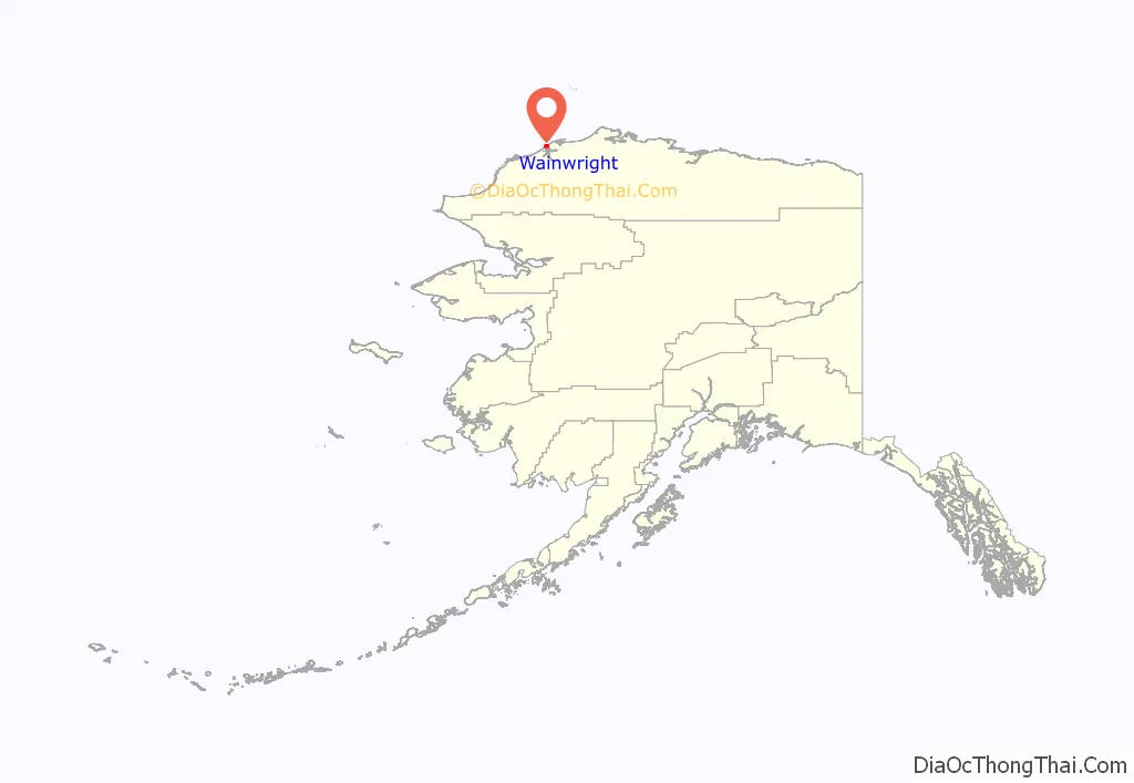
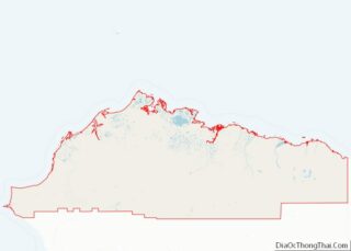
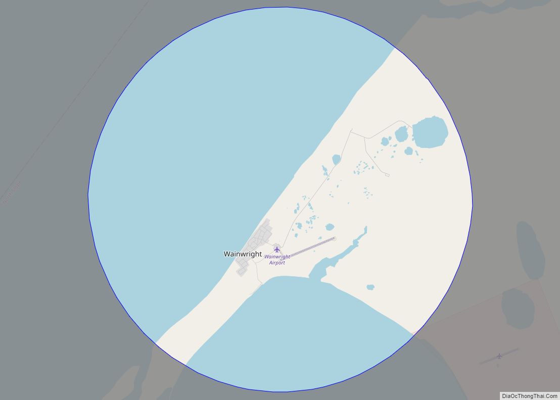
Wainwright (/ˈweɪnraɪt/; Ulġuniq in Iñupiaq), also known as Ulguniq or Kuuk, is a city in North Slope Borough, Alaska, United States. At the 2020 census the population was 628, making it the third largest city in the North Slope Borough, up from 556 in 2010. The community was named after Wainwright Lagoon, which in turn was named after Lt. John Wainwright, an officer under Capt. F. W. Beechey, who were the first non-native people to travel to the lagoon in 1826. An unincorporated area known as Wainwright Inlet by 1890, Wainwright was founded as an incorporated municipality in 1904.
| Name: | Wainwright city |
|---|---|
| LSAD Code: | 25 |
| LSAD Description: | city (suffix) |
| State: | Alaska |
| County: | North Slope Borough |
| Incorporated: | December 31, 1962 |
| Elevation: | 33 ft (10 m) |
| Total Area: | 28.04 sq mi (72.61 km²) |
| Land Area: | 10.31 sq mi (26.71 km²) |
| Water Area: | 17.72 sq mi (45.90 km²) |
| Total Population: | 628 |
| Population Density: | 60.89/sq mi (23.51/km²) |
| ZIP code: | 99782 |
| Area code: | 907 |
| FIPS code: | 0282750 |
| GNISfeature ID: | 2418869 |
Online Interactive Map
Click on ![]() to view map in "full screen" mode.
to view map in "full screen" mode.
Wainwright location map. Where is Wainwright city?
Wainwright Road Map
Wainwright city Satellite Map
Geography
Wainwright is located on the Chukchi Sea about 72 miles (116 km) southwest of Utqiaġvik.
According to the United States Census Bureau, the city has a total area of 42.5 square miles (110 km), of which, 17.6 square miles (46 km) of it is land and 24.9 square miles (64 km) of it (58.63%) is water.
Wainwright has a dry-winter Arctic climate (Köppen ETw) with temperatures ranging from −56 to 80 °F (−49 to 27 °C). There is little precipitation, mostly snow; however, the dry winters make the annual snowfall totals more modest than they would otherwise be. The Chukchi Sea is unfrozen from early July to late September.
See also
Map of Alaska State and its subdivision:- Aleutians East
- Aleutians West
- Anchorage
- Bethel
- Bristol Bay
- Denali
- Dillingham
- Fairbanks North Star
- Haines
- Juneau
- Kenai Peninsula
- Ketchikan Gateway
- Kodiak Island
- Lake and Peninsula
- Matanuska-Susitna
- Nome
- North Slope
- Northwest Arctic
- Prince of Wales-Outer Ketchi
- Sitka
- Skagway-Yakutat-Angoon
- Southeast Fairbanks
- Valdez-Cordova
- Wade Hampton
- Wrangell-Petersburg
- Yukon-Koyukuk
- Alabama
- Alaska
- Arizona
- Arkansas
- California
- Colorado
- Connecticut
- Delaware
- District of Columbia
- Florida
- Georgia
- Hawaii
- Idaho
- Illinois
- Indiana
- Iowa
- Kansas
- Kentucky
- Louisiana
- Maine
- Maryland
- Massachusetts
- Michigan
- Minnesota
- Mississippi
- Missouri
- Montana
- Nebraska
- Nevada
- New Hampshire
- New Jersey
- New Mexico
- New York
- North Carolina
- North Dakota
- Ohio
- Oklahoma
- Oregon
- Pennsylvania
- Rhode Island
- South Carolina
- South Dakota
- Tennessee
- Texas
- Utah
- Vermont
- Virginia
- Washington
- West Virginia
- Wisconsin
- Wyoming
