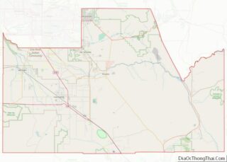
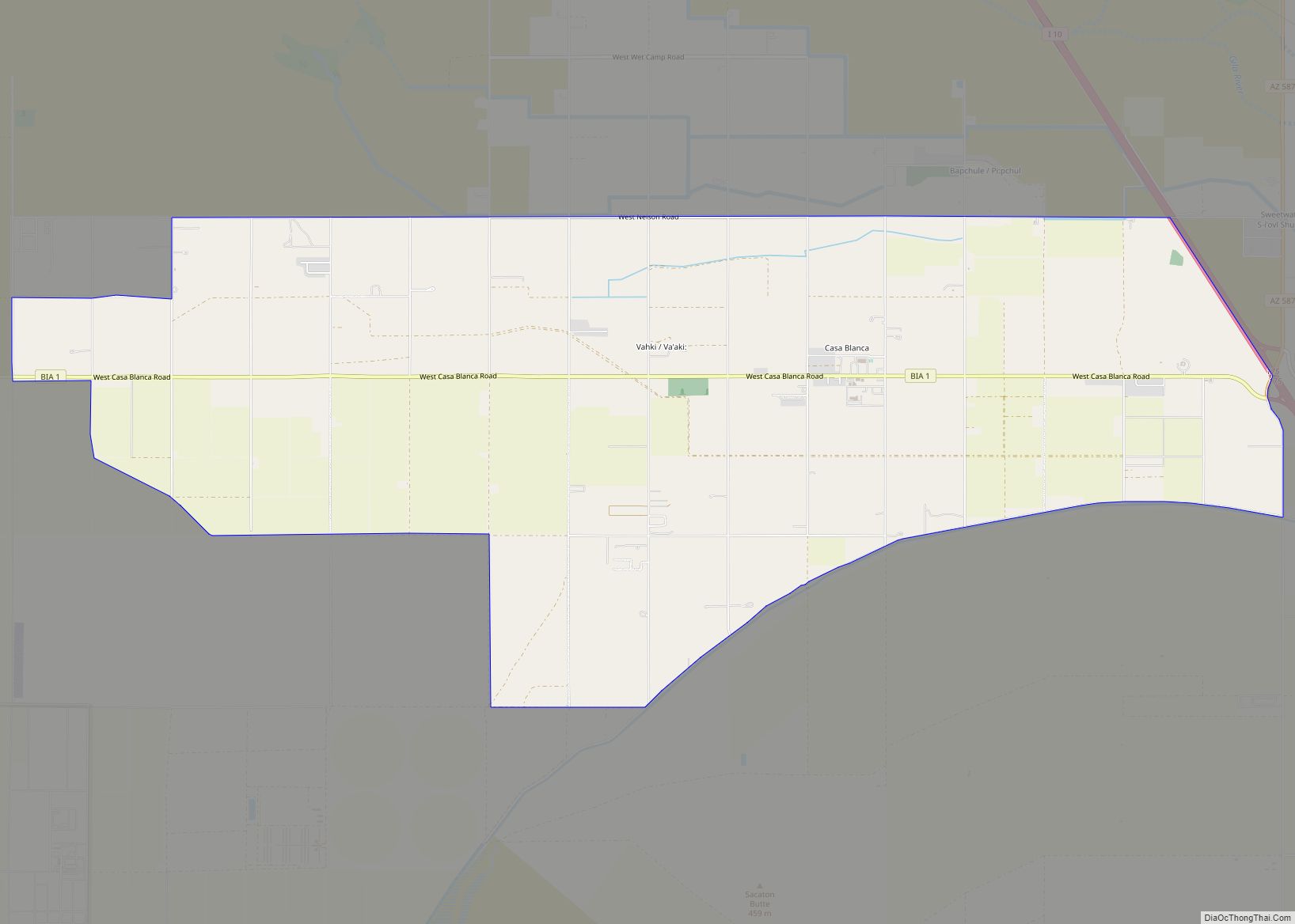
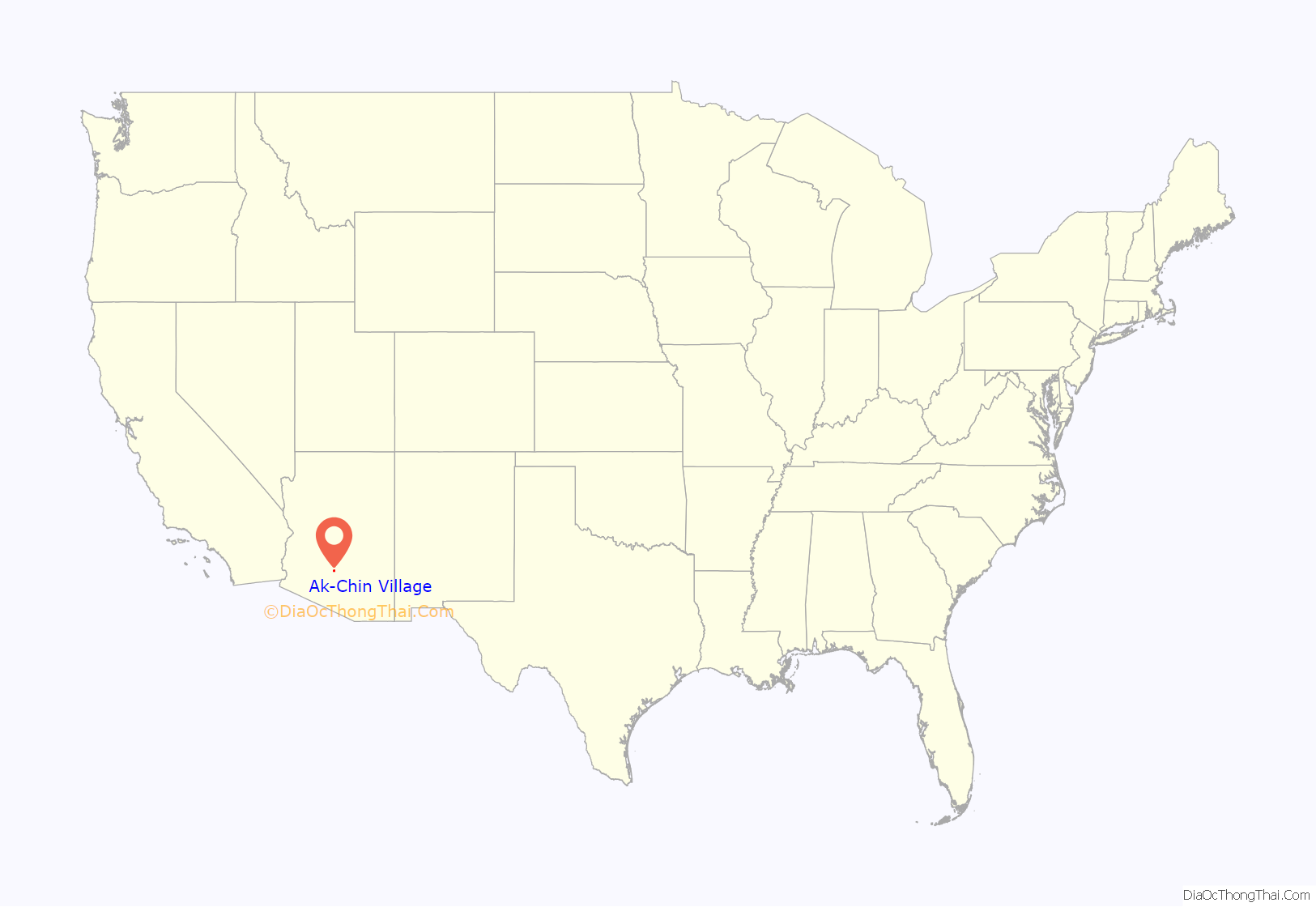
Ak-Chin Village (O’odham: ʼAkĭ Ciñ) is a census-designated place (CDP) in Pinal County, Arizona, United States on the Ak-Chin (Maricopa) Reservation. The population was 862 at the 2010 census, up from 669 in 2000.
| Name: | Ak-Chin Village CDP |
|---|---|
| LSAD Code: | 57 |
| LSAD Description: | CDP (suffix) |
| State: | Arizona |
| County: | Pinal County |
| Elevation: | 1,204 ft (367 m) |
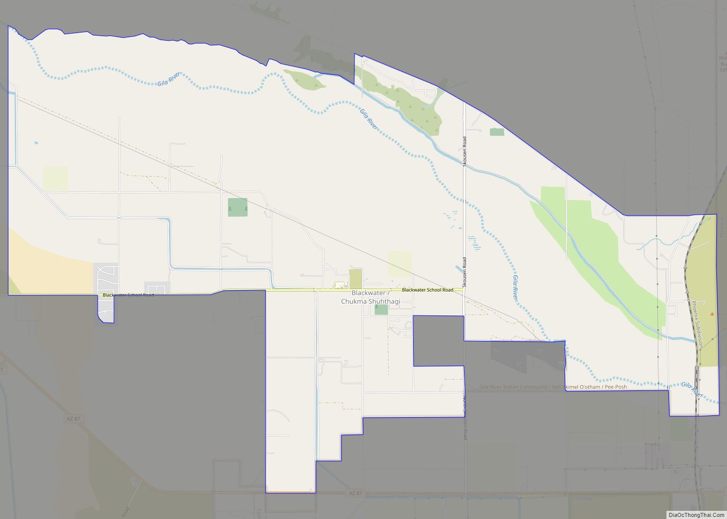
| Total Area: | 10.54 sq mi (27.29 km²) |
| Land Area: | 10.54 sq mi (27.29 km²) |
| Water Area: | 0.00 sq mi (0.00 km²) |
| Total Population: | 884 |
| Population Density: | 83.88/sq mi (32.39/km²) |
| ZIP code: | 85139 |
| Area code: | 520 |
| FIPS code: | 0401090 |
| GNISfeature ID: | 1866978 |
Online Interactive Map
Click on ![]() to view map in "full screen" mode.
to view map in "full screen" mode.
Ak-Chin Village location map. Where is Ak-Chin Village CDP?
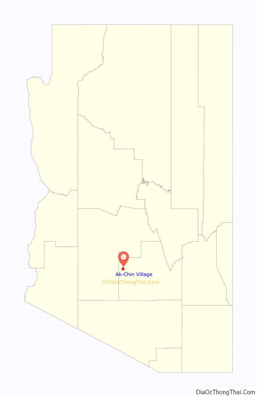
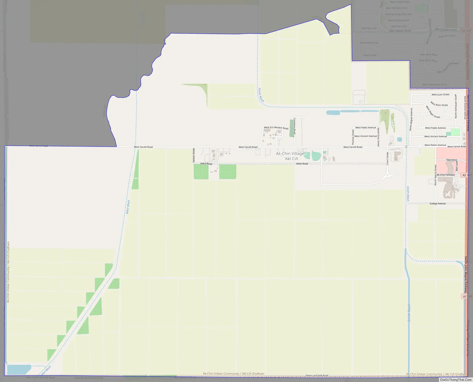
Ak-Chin Village Road Map
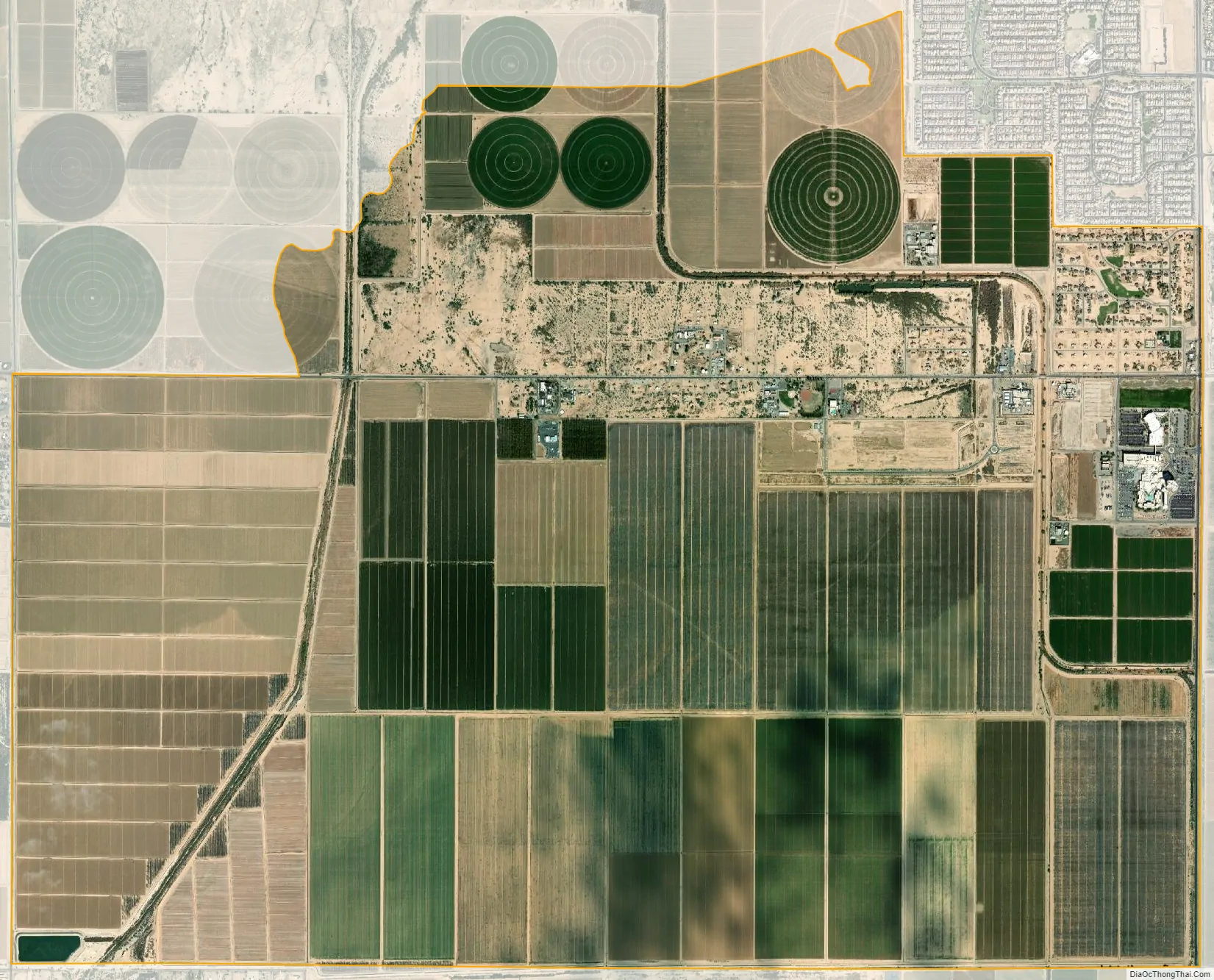
Ak-Chin Village city Satellite Map
Geography
Ak-Chin Village is located at 33°1′48″N 112°3′44″W / 33.03000°N 112.06222°W / 33.03000; -112.06222 (33.029871, −112.062105).
According to the United States Census Bureau, the CDP has a total area of 10.5 square miles (27 km), all land.
See also
Map of Arizona State and its subdivision: Map of other states:- Alabama
- Alaska
- Arizona
- Arkansas
- California
- Colorado
- Connecticut
- Delaware
- District of Columbia
- Florida
- Georgia
- Hawaii
- Idaho
- Illinois
- Indiana
- Iowa
- Kansas
- Kentucky
- Louisiana
- Maine
- Maryland
- Massachusetts
- Michigan
- Minnesota
- Mississippi
- Missouri
- Montana
- Nebraska
- Nevada
- New Hampshire
- New Jersey
- New Mexico
- New York
- North Carolina
- North Dakota
- Ohio
- Oklahoma
- Oregon
- Pennsylvania
- Rhode Island
- South Carolina
- South Dakota
- Tennessee
- Texas
- Utah
- Vermont
- Virginia
- Washington
- West Virginia
- Wisconsin
- Wyoming