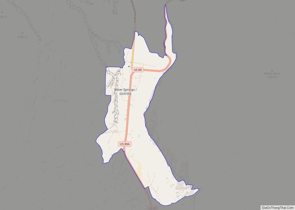
Bitter Springs (Navajo: Díchʼíító) is a native village and census-designated place (CDP) on the Navajo Nation in Coconino County, Arizona, United States. As of the 2020 census, the CDP population was 364
| Name: | Bitter Springs CDP |
|---|---|
| LSAD Code: | 57 |
| LSAD Description: | CDP (suffix) |
| State: | Arizona |
| County: | Coconino County |
| Elevation: | 5,115 ft (1,559 m) |
| Total Area: | 8.02 sq mi (20.77 km²) |
| Land Area: | 8.02 sq mi (20.77 km²) |
| Water Area: | 0.00 sq mi (0.00 km²) |
| Total Population: | 355 |
| Population Density: | 44.26/sq mi (17.09/km²) |
| FIPS code: | 0406470 |
| GNISfeature ID: | 25249 |
Online Interactive Map
Click on ![]() to view map in "full screen" mode.
to view map in "full screen" mode.
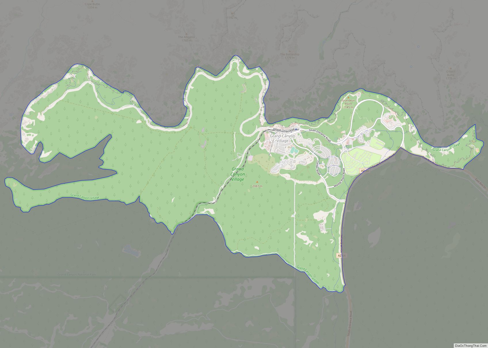
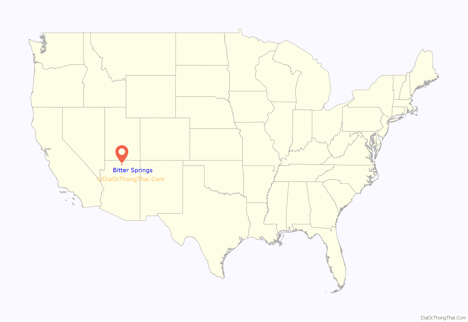
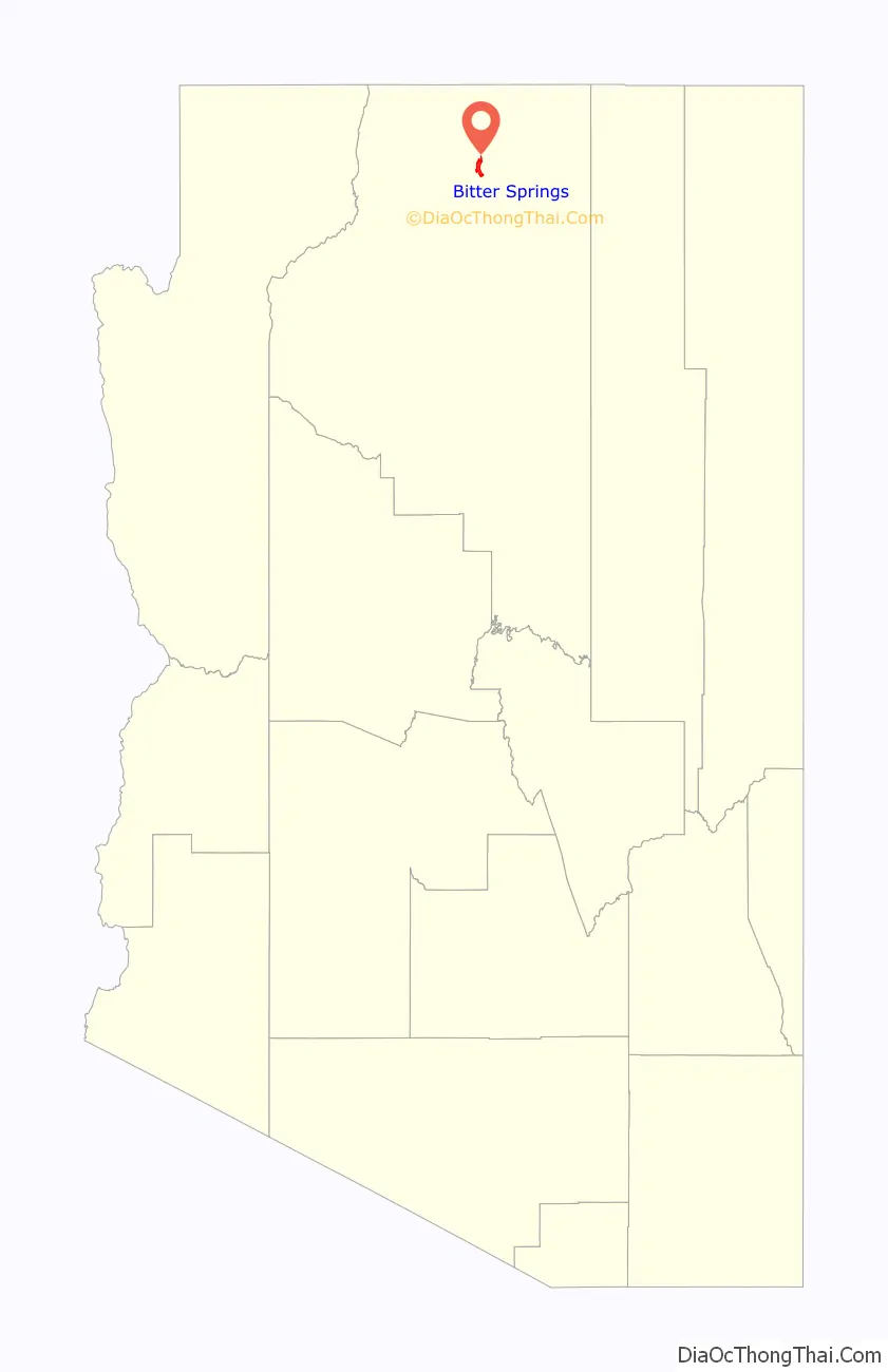
Bitter Springs location map. Where is Bitter Springs CDP?
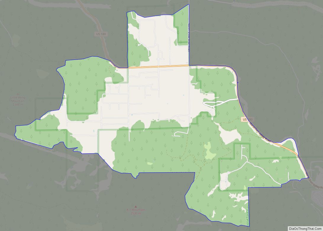
Bitter Springs Road Map
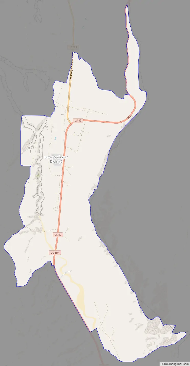
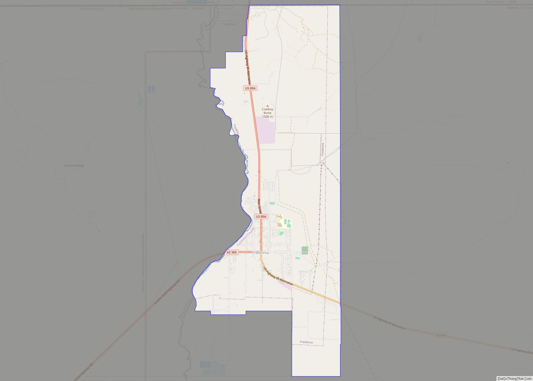
Bitter Springs city Satellite Map
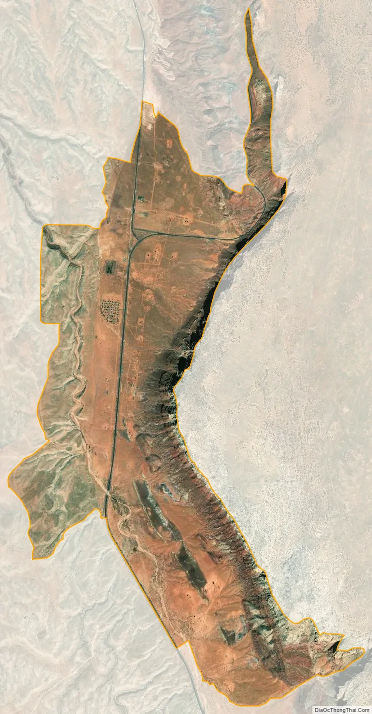
Geography
Bitter Springs is located at 36°37′15″N 111°39′23″W / 36.62083°N 111.65639°W / 36.62083; -111.65639 (36.620888, -111.656460).
According to the United States Census Bureau, the CDP has a total area of 8.0 square miles (20.8 km), all land.
The mean elevation is 5,115 feet (1,559 m) above sea level. The US Postal Service ZIP code is 86040.
Bitter Springs is the terminus of U.S. Route 89A, a spur route cut off by the construction of the Glen Canyon Dam.
See also
Map of Arizona State and its subdivision: Map of other states:- Alabama
- Alaska
- Arizona
- Arkansas
- California
- Colorado
- Connecticut
- Delaware
- District of Columbia
- Florida
- Georgia
- Hawaii
- Idaho
- Illinois
- Indiana
- Iowa
- Kansas
- Kentucky
- Louisiana
- Maine
- Maryland
- Massachusetts
- Michigan
- Minnesota
- Mississippi
- Missouri
- Montana
- Nebraska
- Nevada
- New Hampshire
- New Jersey
- New Mexico
- New York
- North Carolina
- North Dakota
- Ohio
- Oklahoma
- Oregon
- Pennsylvania
- Rhode Island
- South Carolina
- South Dakota
- Tennessee
- Texas
- Utah
- Vermont
- Virginia
- Washington
- West Virginia
- Wisconsin
- Wyoming