Bouse (/ˈbaʊs/ BOWSS rhymes with “house”) is a census-designated place (CDP) and ghost town in La Paz County, Arizona, United States. Founded in 1908 as a mining camp, the economy of Bouse is now based on tourism, agriculture, and retirees. The population was 996 at the 2010 census. It was originally named Brayton after the store owner John Brayton Martin.
| Name: | Bouse CDP |
|---|---|
| LSAD Code: | 57 |
| LSAD Description: | CDP (suffix) |
| State: | Arizona |
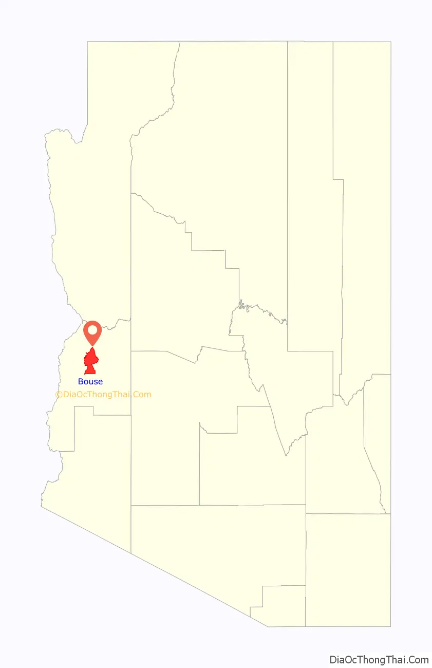
| County: | La Paz County |
| Elevation: | 948 ft (289 m) |
| Total Area: | 136.18 sq mi (352.69 km²) |
| Land Area: | 136.18 sq mi (352.69 km²) |
| Water Area: | 0.00 sq mi (0.00 km²) |
| Total Population: | 707 |
| Population Density: | 5.19/sq mi (2.00/km²) |
| ZIP code: | 85325 |
| Area code: | 928 |
| FIPS code: | 0407310 |
| GNISfeature ID: | 1887 |
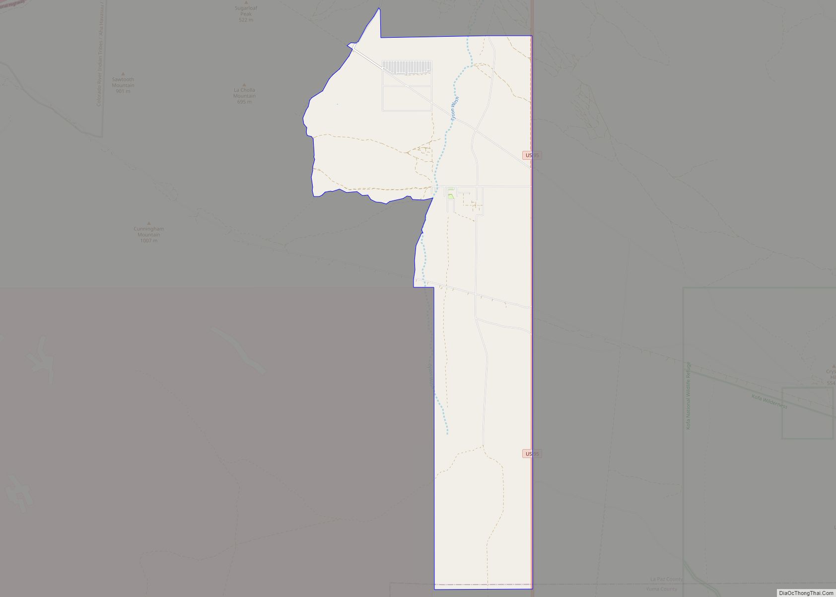
Online Interactive Map
Click on ![]() to view map in "full screen" mode.
to view map in "full screen" mode.
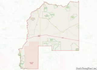
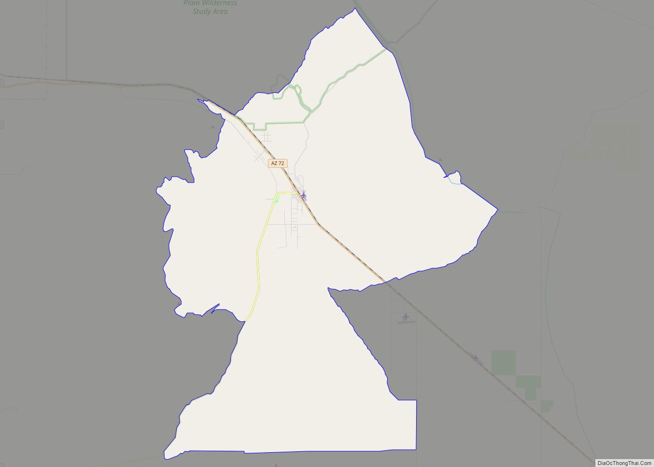
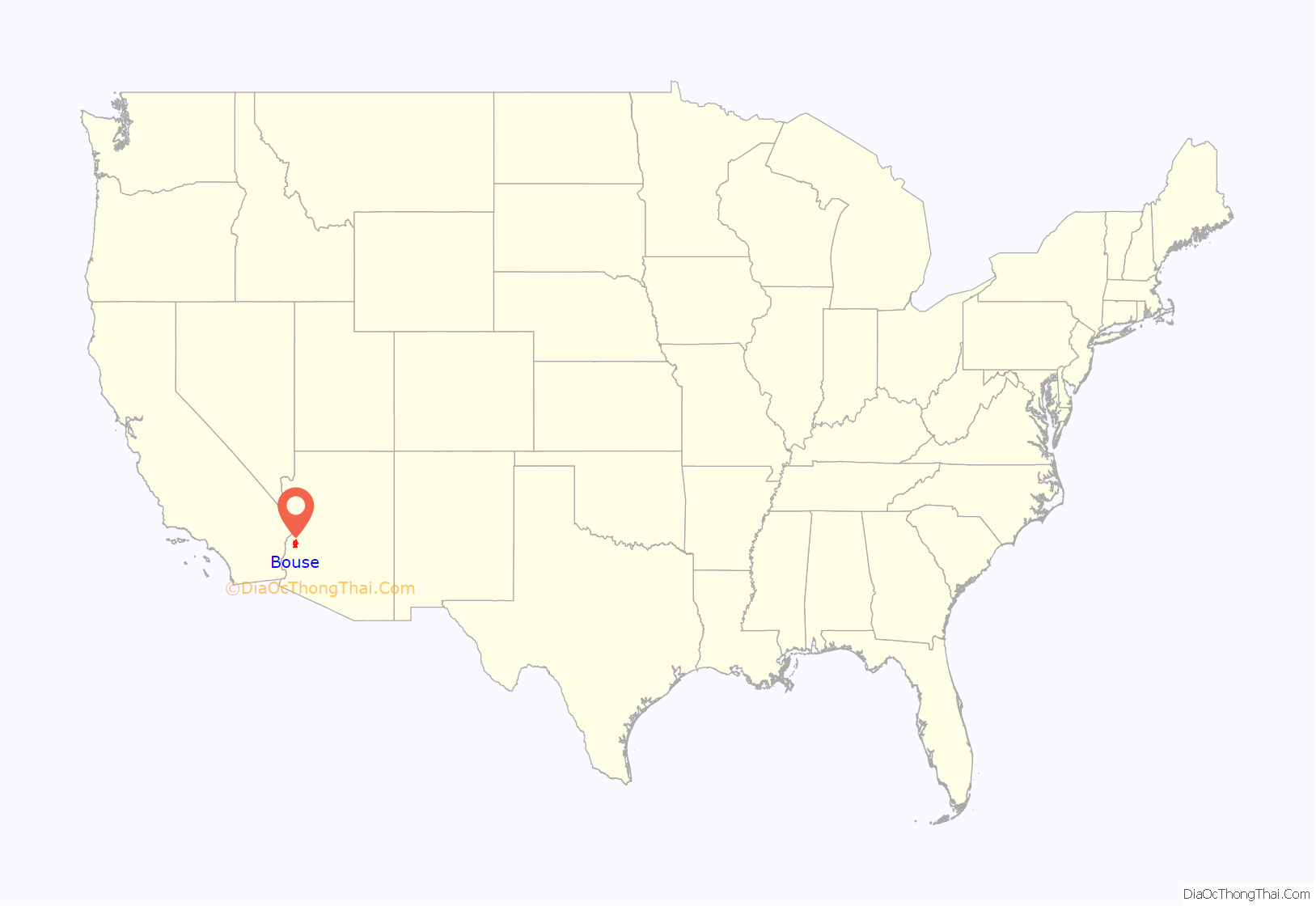
Bouse location map. Where is Bouse CDP?
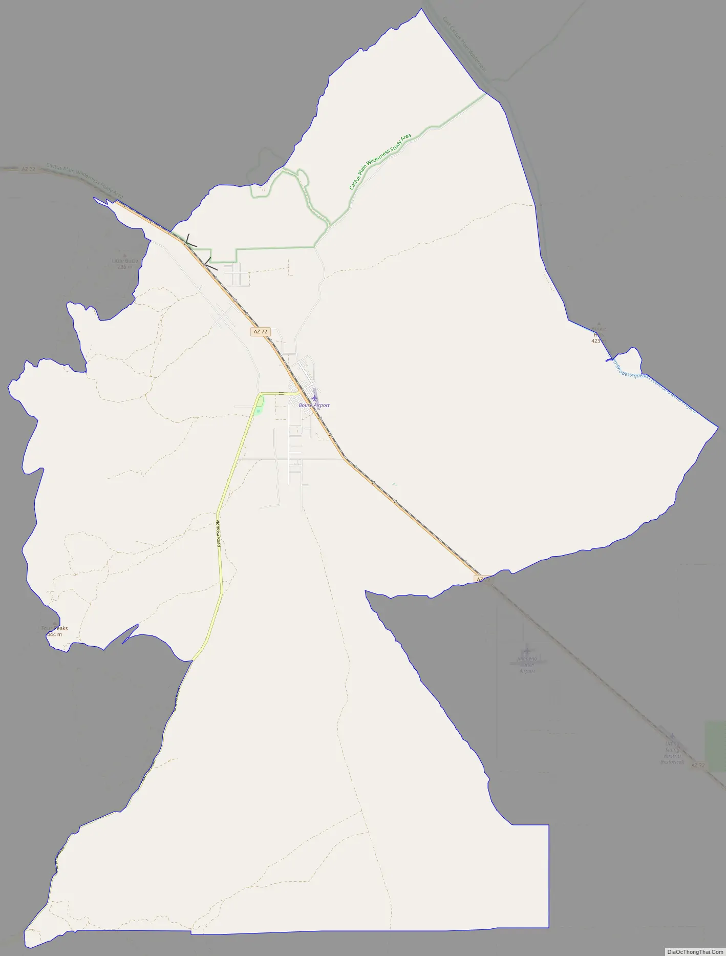
Bouse Road Map
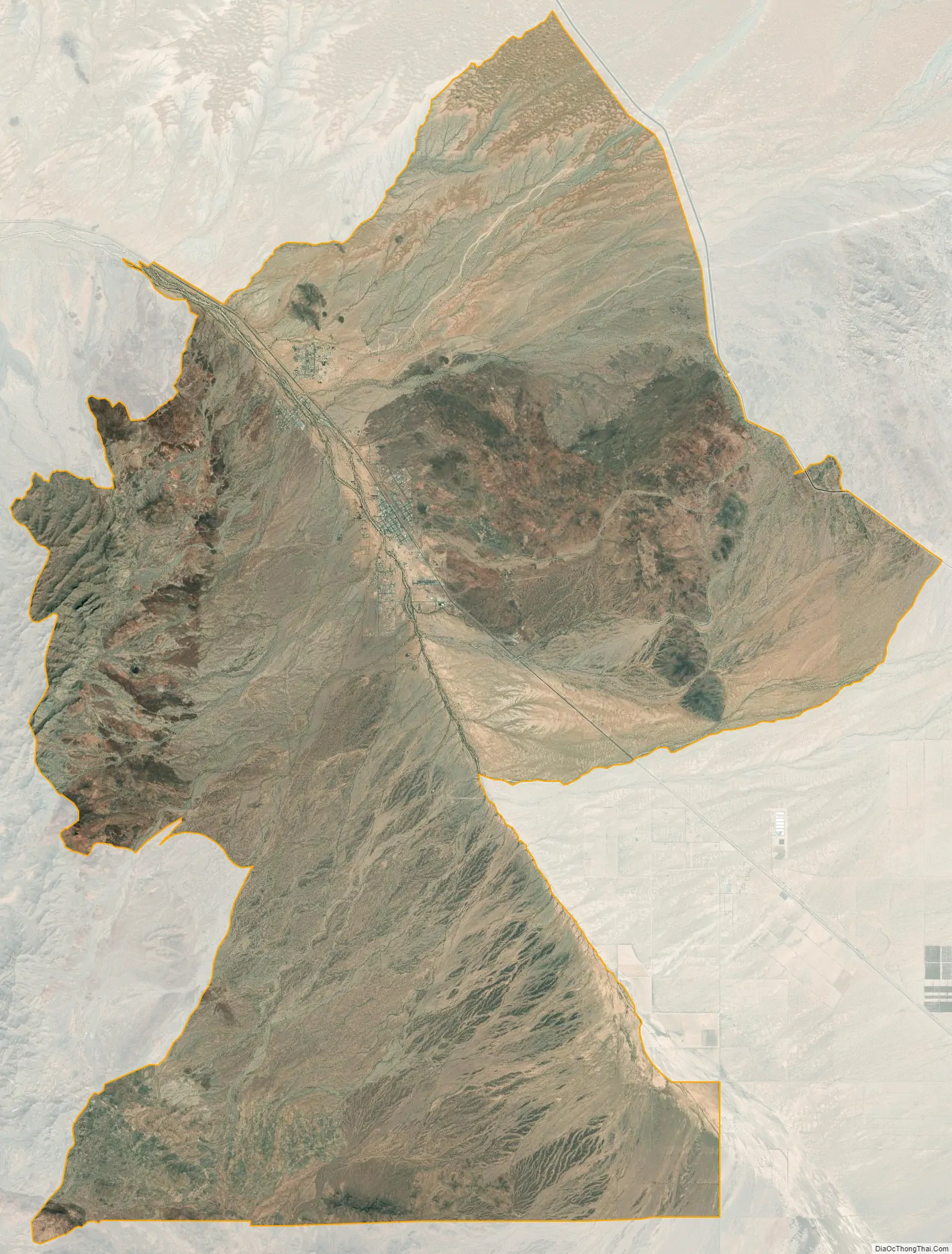
Bouse city Satellite Map
Geography
Bouse is located north of the center of La Paz County at 33°56′1″N 114°0′30″W / 33.93361°N 114.00833°W / 33.93361; -114.00833 (33.933657, -114.008268). Arizona State Route 72 passes through the community, leading northwest 26 miles (42 km) to Parker and southeast 23 miles (37 km) to Hope.
According to the United States Census Bureau, the Bouse CDP has a total area of 136.2 square miles (352.8 km), all land.
Camp Bouse, 20 mi (32 km) east in Butler Valley, is the former site of a World War II US Army tank training camp. Although the buildings are gone, a few foundations remain, as do some of the tank tracks from World War II. There is a Camp Bouse memorial monument in Bouse.
See also
Map of Arizona State and its subdivision: Map of other states:- Alabama
- Alaska
- Arizona
- Arkansas
- California
- Colorado
- Connecticut
- Delaware
- District of Columbia
- Florida
- Georgia
- Hawaii
- Idaho
- Illinois
- Indiana
- Iowa
- Kansas
- Kentucky
- Louisiana
- Maine
- Maryland
- Massachusetts
- Michigan
- Minnesota
- Mississippi
- Missouri
- Montana
- Nebraska
- Nevada
- New Hampshire
- New Jersey
- New Mexico
- New York
- North Carolina
- North Dakota
- Ohio
- Oklahoma
- Oregon
- Pennsylvania
- Rhode Island
- South Carolina
- South Dakota
- Tennessee
- Texas
- Utah
- Vermont
- Virginia
- Washington
- West Virginia
- Wisconsin
- Wyoming