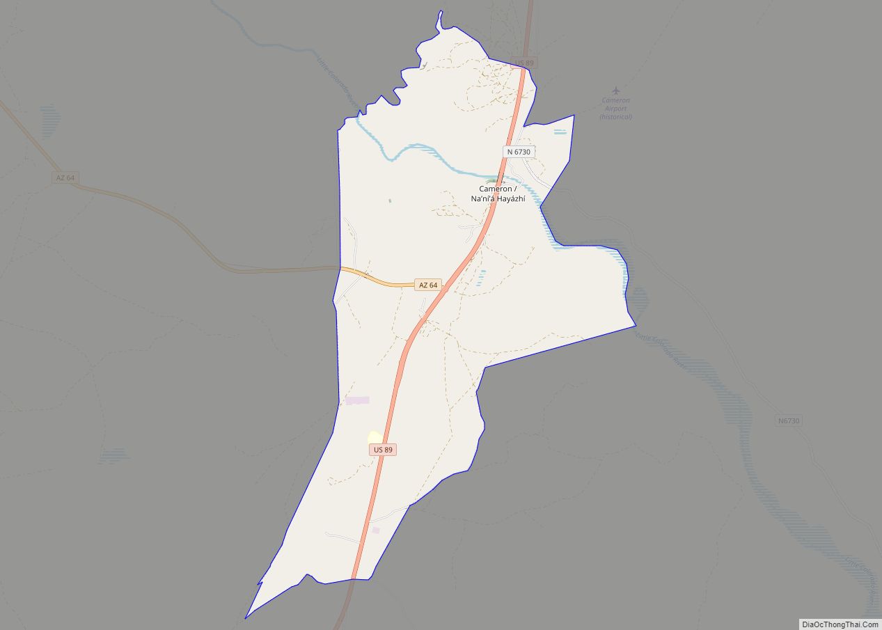
Cameron (Navajo: Naʼníʼá Hasání) is a census-designated place (CDP) in Coconino County, Arizona, United States, on the Navajo Nation. The population was 885 at the 2010 census. Most of the town’s economy is tourist food and craft stalls, restaurants, and other services for north–south traffic from Flagstaff and Page. There is a ranger station supplying information and hiking permits for the Navajo Nation as well as a small selection of books for sale. There is also a large craft store run by the Nation itself; most vendors in the area operate from small private stalls. It is named after Ralph H. Cameron, Arizona’s first senator.
| Name: | Cameron CDP |
|---|---|
| LSAD Code: | 57 |
| LSAD Description: | CDP (suffix) |
| State: | Arizona |
| County: | Coconino County |
| Elevation: | 4,202 ft (1,281 m) |
| Total Area: | 18.74 sq mi (48.54 km²) |
| Land Area: | 18.72 sq mi (48.50 km²) |
| Water Area: | 0.02 sq mi (0.04 km²) |
| Total Population: | 734 |
| Population Density: | 39.20/sq mi (15.14/km²) |
| ZIP code: | 86016, 86020 |
| Area code: | 928 |
| FIPS code: | 0409340 |
| GNISfeature ID: | 2396 |
Online Interactive Map
Click on ![]() to view map in "full screen" mode.
to view map in "full screen" mode.
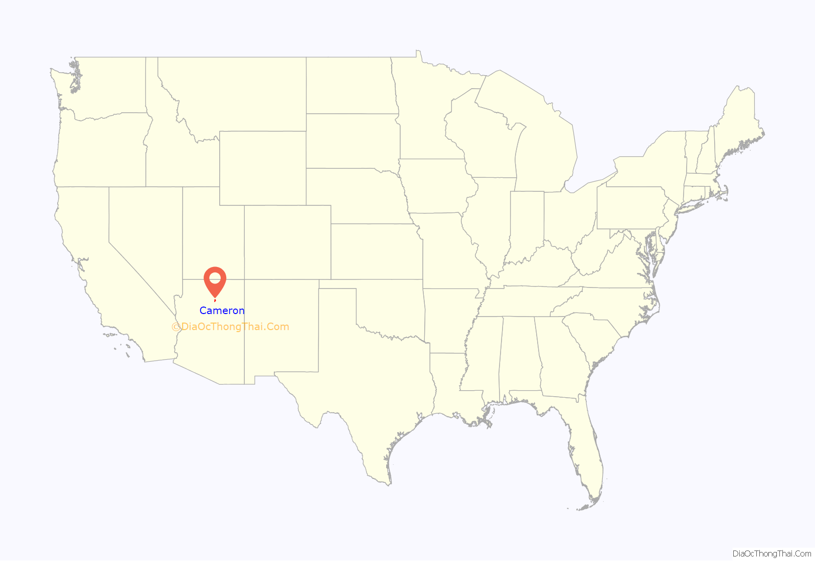
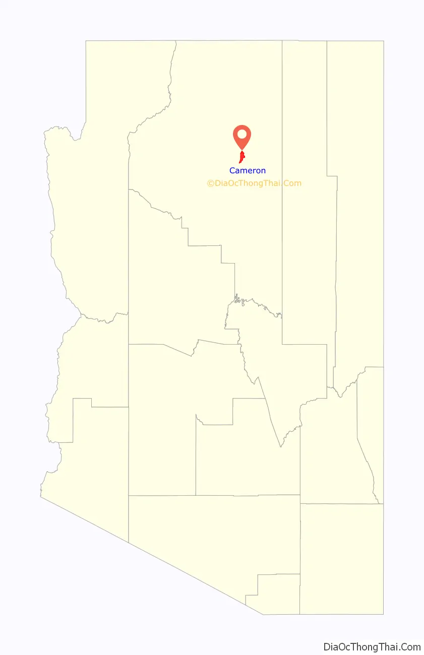
Cameron location map. Where is Cameron CDP?
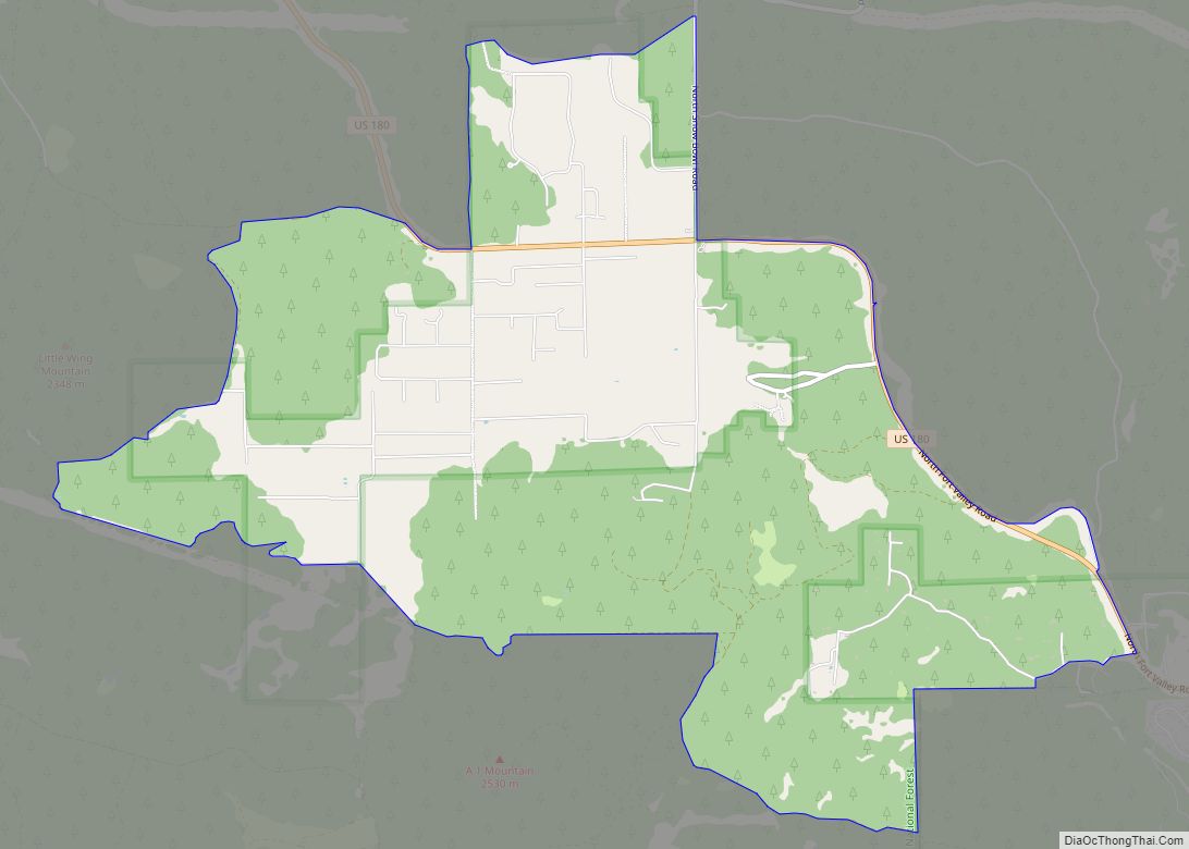
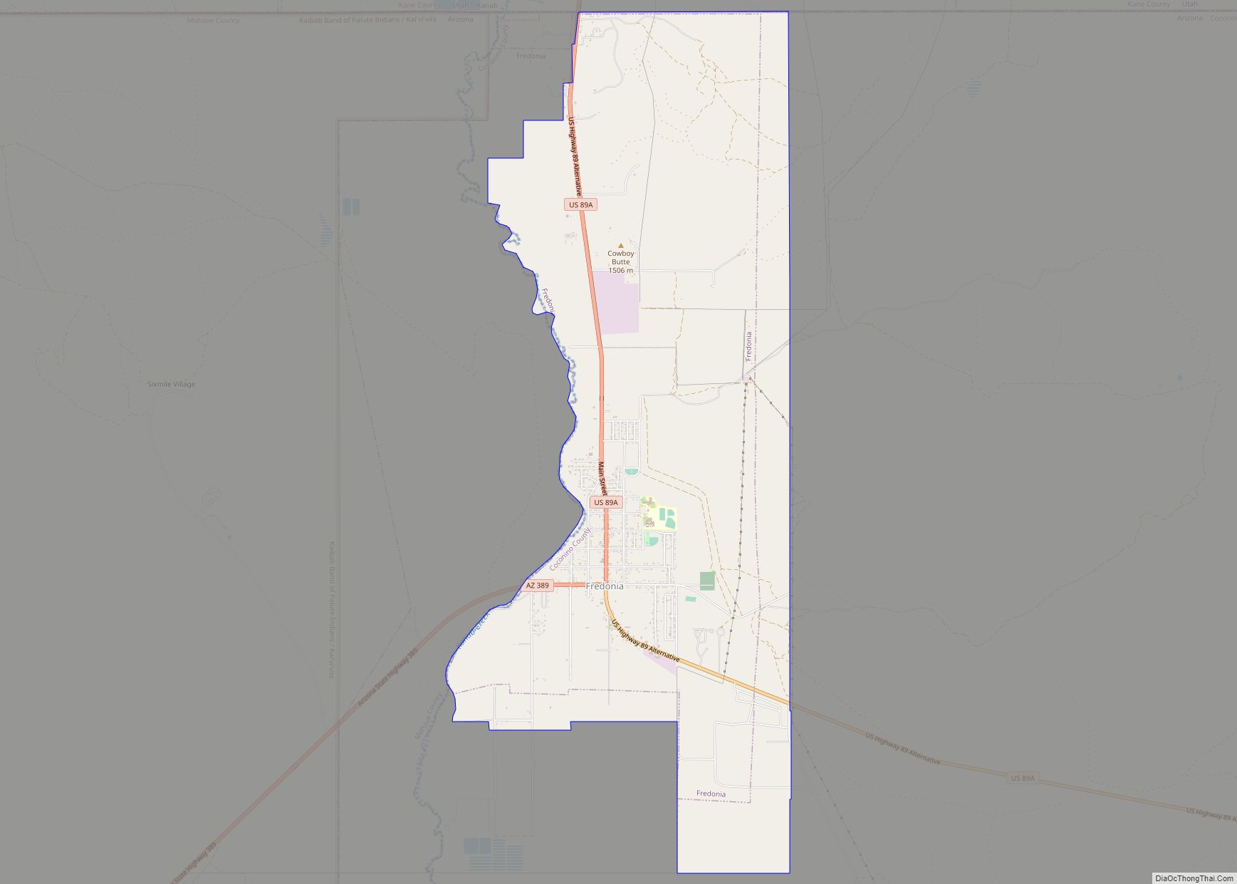
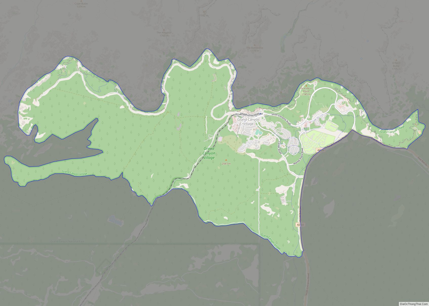
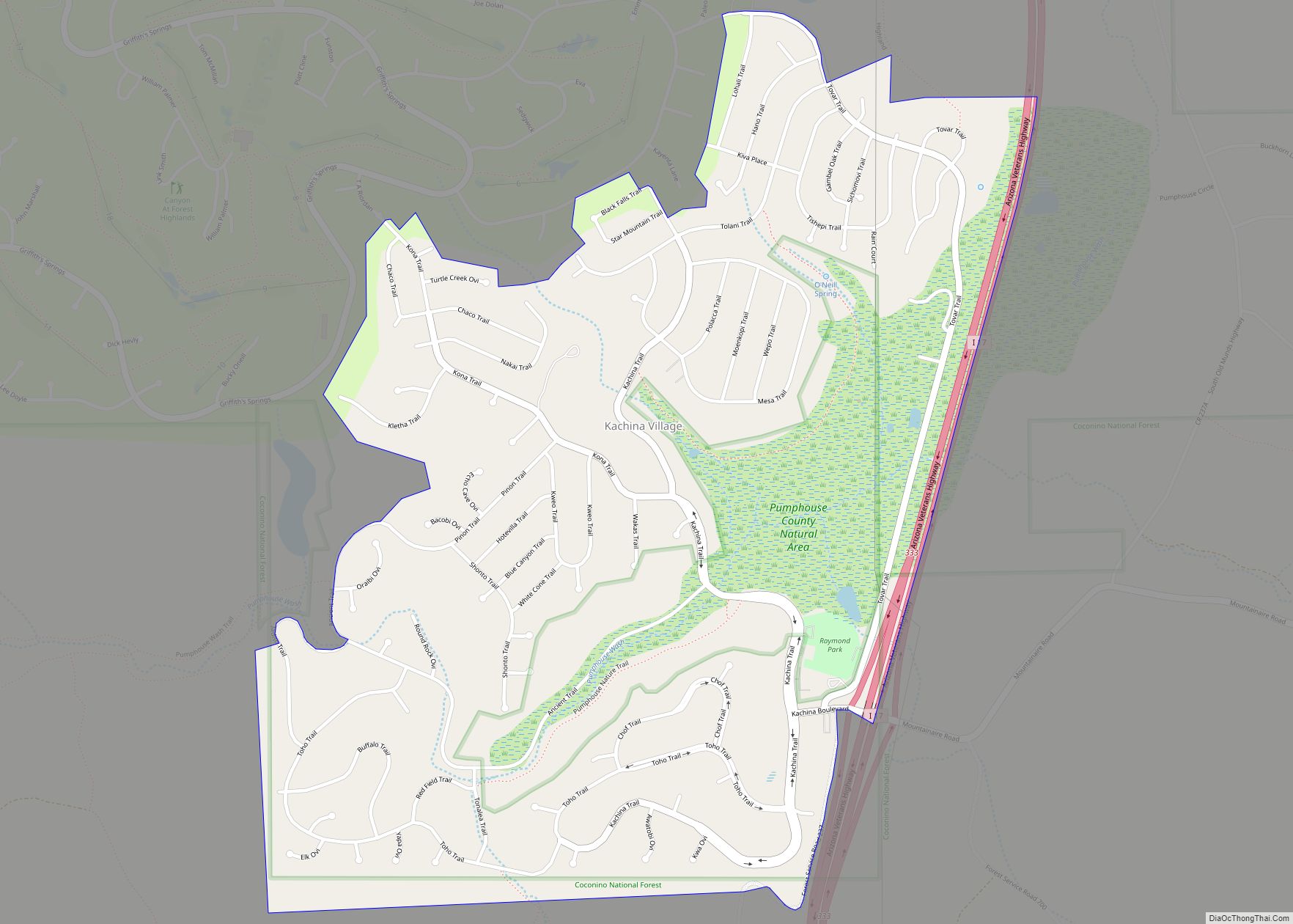
Cameron Road Map
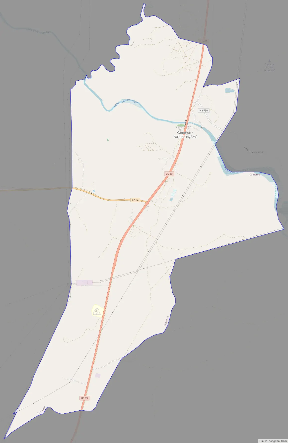
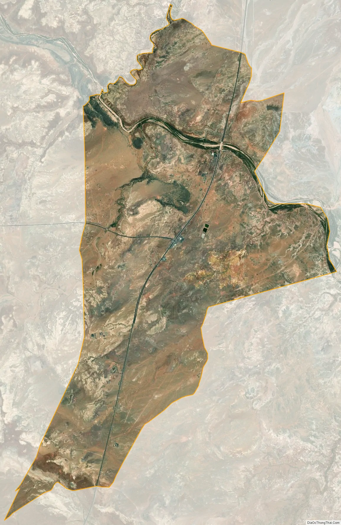
Cameron city Satellite Map
Geography
Cameron is located at 35°51′19″N 111°25′17″W / 35.85528°N 111.42139°W / 35.85528; -111.42139 (35.855410, -111.421465) on the Navajo Nation. Elevation is 4,216 feet (1,285 m) above sea level. It is immediately south of the Little Colorado River, just above the beginning of the Little Colorado River Gorge and the stream’s descent into the Grand Canyon. Cameron lies at the intersection of US 89 and State Route 64, not far from the Desert View entrance to Grand Canyon National Park.
According to the United States Census Bureau, the CDP has a total area of 18.7 square miles (48.5 km), of which 0.02 square miles (0.04 km) is water.
See also
Map of Arizona State and its subdivision: Map of other states:- Alabama
- Alaska
- Arizona
- Arkansas
- California
- Colorado
- Connecticut
- Delaware
- District of Columbia
- Florida
- Georgia
- Hawaii
- Idaho
- Illinois
- Indiana
- Iowa
- Kansas
- Kentucky
- Louisiana
- Maine
- Maryland
- Massachusetts
- Michigan
- Minnesota
- Mississippi
- Missouri
- Montana
- Nebraska
- Nevada
- New Hampshire
- New Jersey
- New Mexico
- New York
- North Carolina
- North Dakota
- Ohio
- Oklahoma
- Oregon
- Pennsylvania
- Rhode Island
- South Carolina
- South Dakota
- Tennessee
- Texas
- Utah
- Vermont
- Virginia
- Washington
- West Virginia
- Wisconsin
- Wyoming