Catalina is a census-designated place (CDP) in Pima County, Arizona, United States. The population was 7,025 at the 2000 census. Catalina continues to experience increasing population growth, while attempting to maintain its rural character. Catalina remains an unincorporated community, with no plans for annexation into any nearby towns.
| Name: | Catalina CDP |
|---|---|
| LSAD Code: | 57 |
| LSAD Description: | CDP (suffix) |
| State: | Arizona |
| County: | Pima County |
| Elevation: | 3,123 ft (952 m) |
| Total Area: | 14.14 sq mi (36.62 km²) |
| Land Area: | 14.14 sq mi (36.62 km²) |
| Water Area: | 0.00 sq mi (0.00 km²) |
| Total Population: | 7,551 |
| Population Density: | 533.98/sq mi (206.17/km²) |
| ZIP code: | 85738-85739 |
| Area code: | 520 |
| FIPS code: | 0411160 |
| GNISfeature ID: | 37213 |
Online Interactive Map
Click on ![]() to view map in "full screen" mode.
to view map in "full screen" mode.
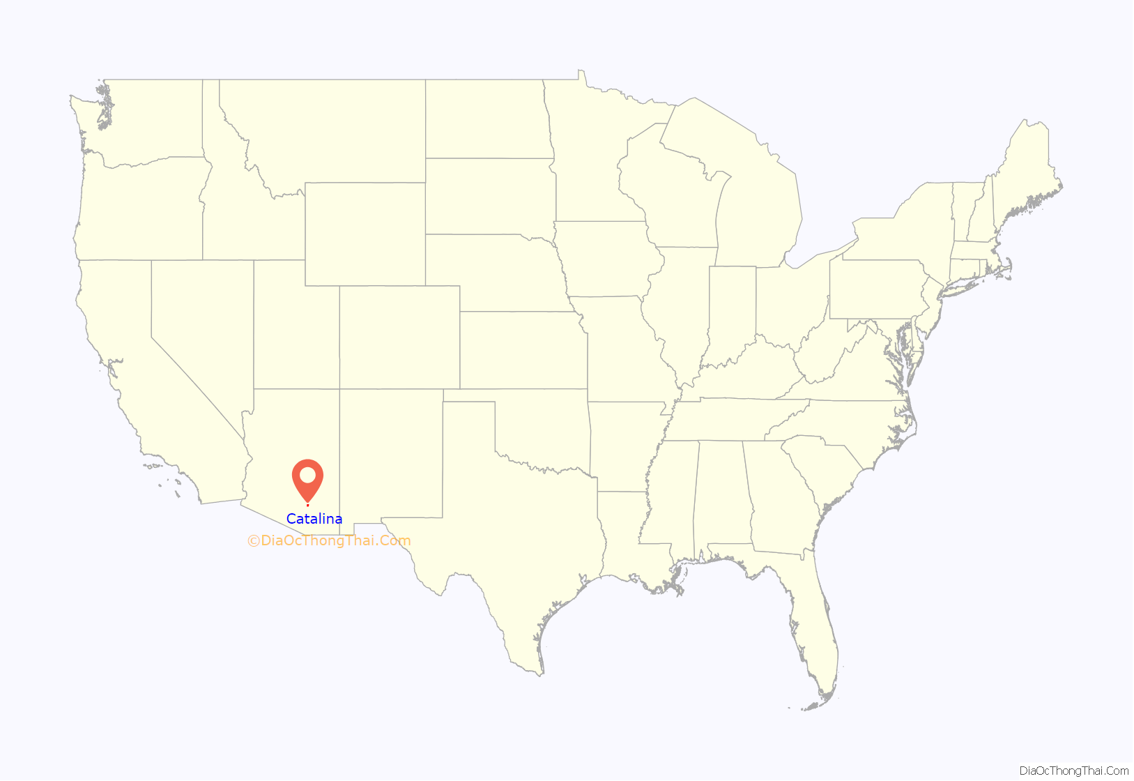
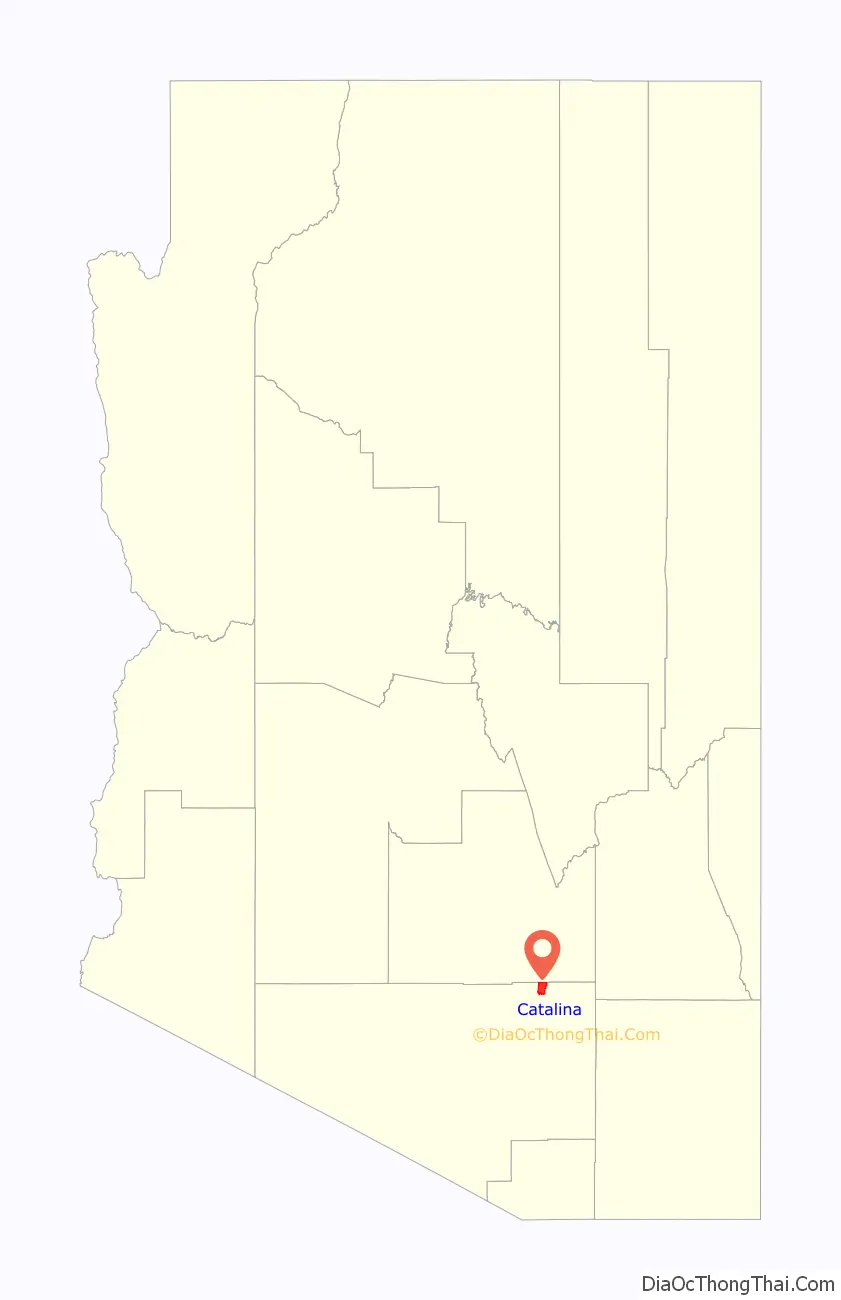
Catalina location map. Where is Catalina CDP?
History
Much of Catalina’s history and the land it now sits on is connected with the Golder Ranch. According to historian David Leighton of the Arizona Daily Star newspaper, Lloyd Golder III and family moved to Tucson from Illinois in 1956 and by the following year had purchased the Rancho Vistoso, which at the time was a 4,800 acre ranch. In 1959, Golder bought the nearby 18,000-acre, Rail N. Ranch from Roberta Nicholas whose ranch house is now the administration building for the Miraval Resort. The land included parts of what is now Catalina State Park to the south and part of the land where Biosphere 2 now sits, to the north.
From 1961 to 1964 he built the Golder Dam about 4 miles north of the Pinal County line but in a legal action that lasted several decades it was declared unsafe and the lakeside community that would have been called Lago del Oro, was never built. The Saddlebrooke subdivision now occupies that land and only the Lago Del Oro Parkway still exists as a reminder of the failed community. He later developed the Twin Lakes subdivision and the Rail N. Ranch subdivision on his land as well as naming many of the streets on his land.
Around 1976, Chief H.D “Bob” and Della Murray, started Golder Ranch Fire District and retired in 1993. The land for the fire district headquarters, was donated by Lloyd Golder and his brother in law Jim McLaughlin. The new fire department was named after Golder Ranch. Golder’s wife Vicki Cox Golder has served on Golder Ranch Fire District Board for many years.
Lloyd Golder III died in 2013. The ranch commonly known as Golder Ranch is legally still called the Rail N. Ranch and is still an active open-range ranch.
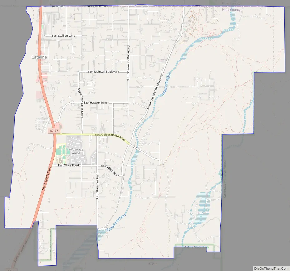
Catalina Road Map
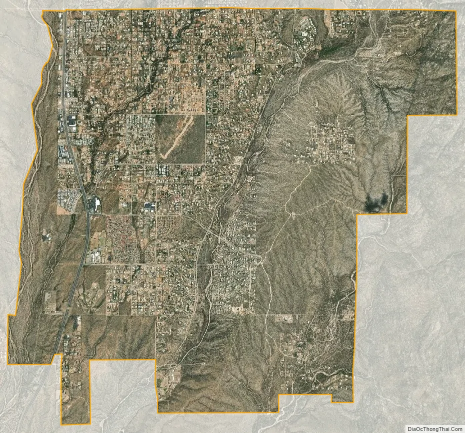
Catalina city Satellite Map
Geography
Catalina is located at 32°29′28″N 110°54′28″W / 32.49111°N 110.90778°W / 32.49111; -110.90778 (32.491151, -110.907652).
According to the United States Census Bureau, the CDP has a total area of 13.9 square miles (36 km), all land.
See also
Map of Arizona State and its subdivision: Map of other states:- Alabama
- Alaska
- Arizona
- Arkansas
- California
- Colorado
- Connecticut
- Delaware
- District of Columbia
- Florida
- Georgia
- Hawaii
- Idaho
- Illinois
- Indiana
- Iowa
- Kansas
- Kentucky
- Louisiana
- Maine
- Maryland
- Massachusetts
- Michigan
- Minnesota
- Mississippi
- Missouri
- Montana
- Nebraska
- Nevada
- New Hampshire
- New Jersey
- New Mexico
- New York
- North Carolina
- North Dakota
- Ohio
- Oklahoma
- Oregon
- Pennsylvania
- Rhode Island
- South Carolina
- South Dakota
- Tennessee
- Texas
- Utah
- Vermont
- Virginia
- Washington
- West Virginia
- Wisconsin
- Wyoming


