Chilchinbito (Navajo: Tsiiłchin Biiʼ Tó) is a town located on the Navajo Nation, whose lands spans four state boundary lines in the Four Corners region of the United States. The town of Chilchinbito is a census-designated place (CDP) specifically in Navajo County, Arizona, United States. The population was 506 at the 2010 census. Chilchinbito is also considered to be the source of coronavirus infections on the Navajo Nation, possibly traced to the annual meeting of the Church of the Nazarene’s numerous branches, on March 7, 2020. COVID-19 federal relief funds for medical care on the Navajo Nation were being redirected to a non-Native for-profit corporation, and a legal suit is pending.
| Name: | Chilchinbito CDP |
|---|---|
| LSAD Code: | 57 |
| LSAD Description: | CDP (suffix) |
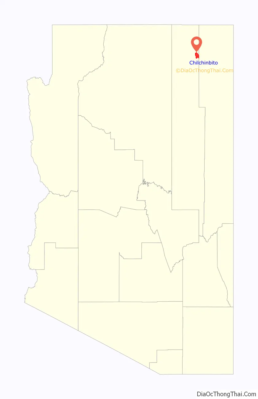
| State: | Arizona |
| County: | Navajo County |
| Elevation: | 5,952 ft (1,814 m) |
| Total Area: | 23.77 sq mi (61.57 km²) |
| Land Area: | 23.76 sq mi (61.54 km²) |
| Water Area: | 0.01 sq mi (0.03 km²) |
| Total Population: | 769 |
| Population Density: | 32.36/sq mi (12.50/km²) |
| ZIP code: | 86033 |
| Area code: | 928 |
| FIPS code: | 0412630 |
| GNISfeature ID: | 2822 |
Online Interactive Map
Click on ![]() to view map in "full screen" mode.
to view map in "full screen" mode.
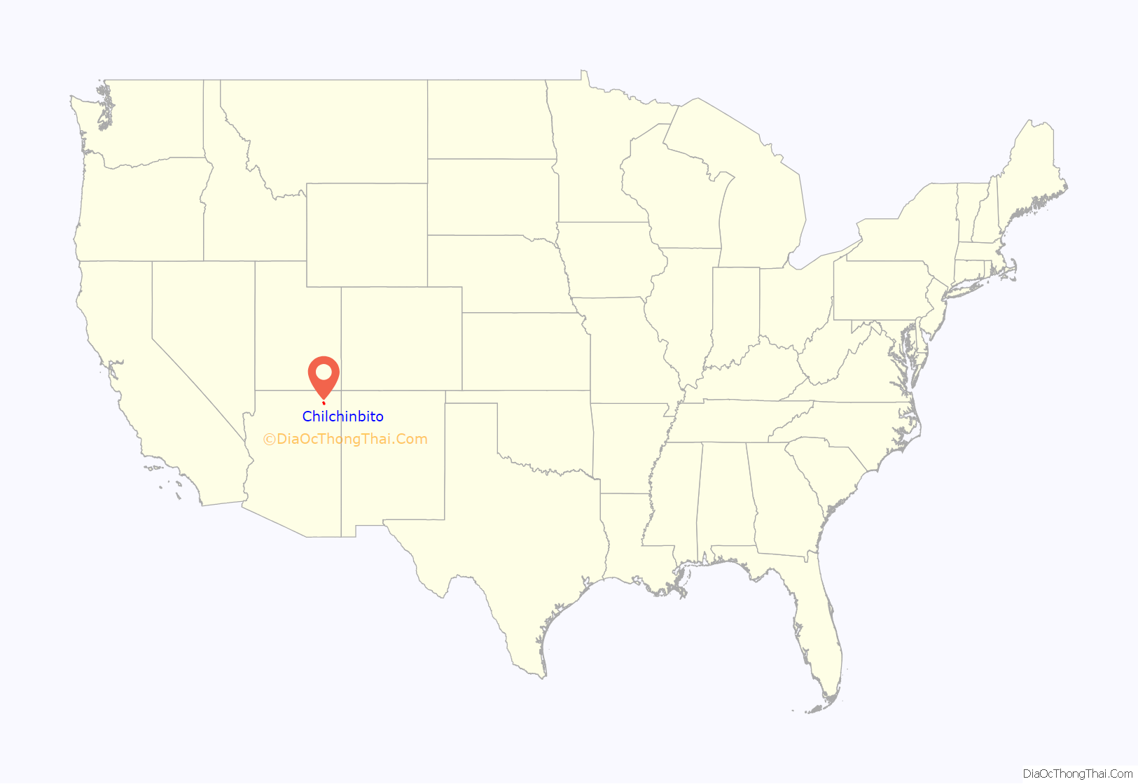
Chilchinbito location map. Where is Chilchinbito CDP?
History
On March 17, 2020, the first case of the global pandemic of coronavirus disease 2019 (COVID-19) on the Navajo Nation was identified to be a 46-year-old resident of Chilchinbito by the Arizona Department of Health. The man tested positive for the disease in a hospital in Phoenix after being transferred from the Kayenta Health Center in Kayenta, Arizona. Two days later the Navajo Health Command Operations Center ordered Chilchinbito to be quarantined and isolated.
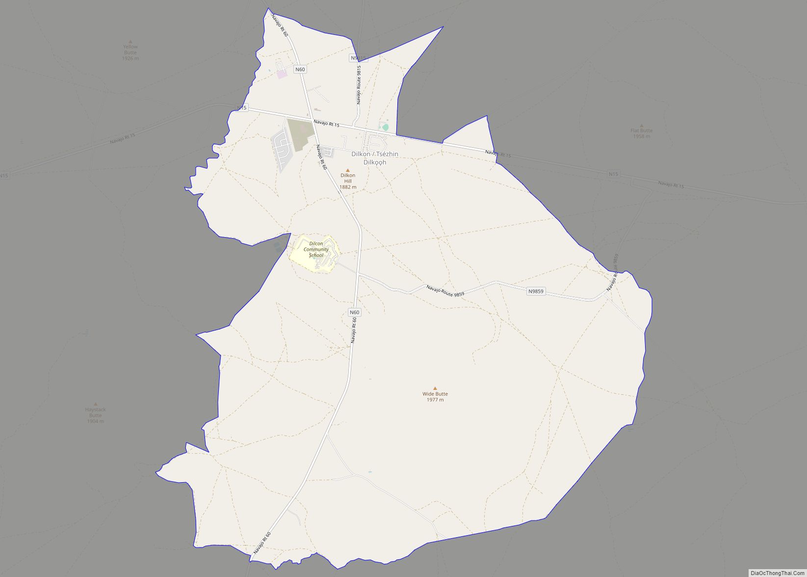
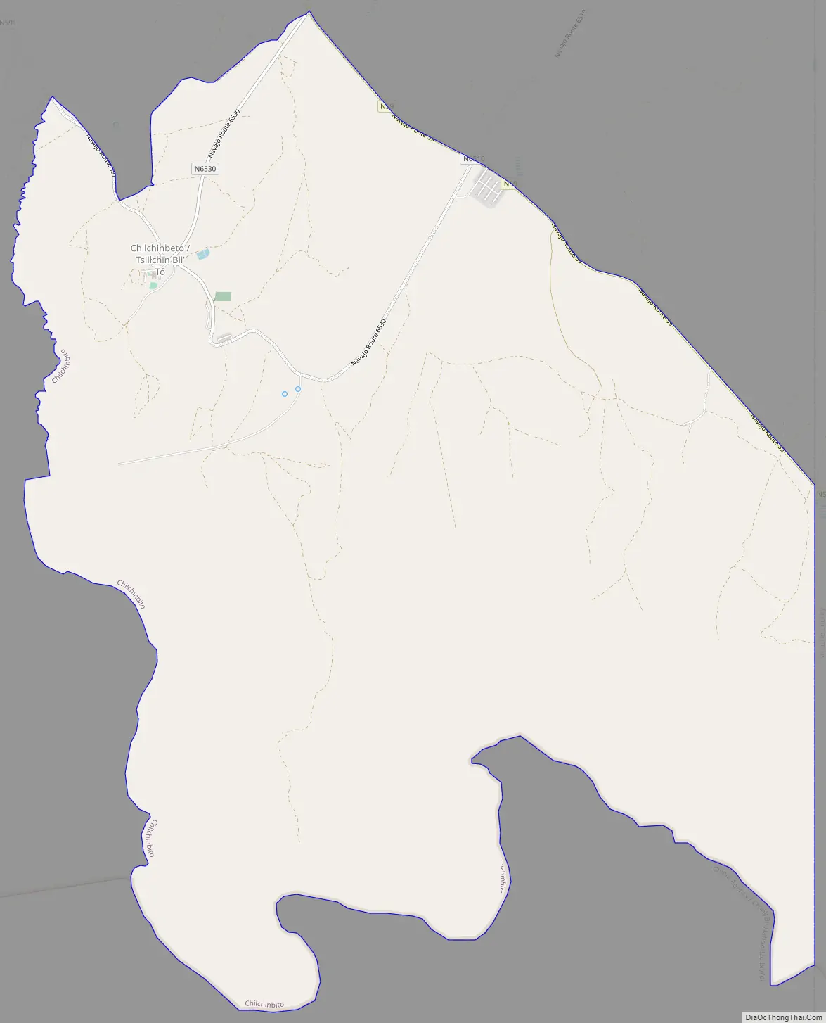
Chilchinbito Road Map
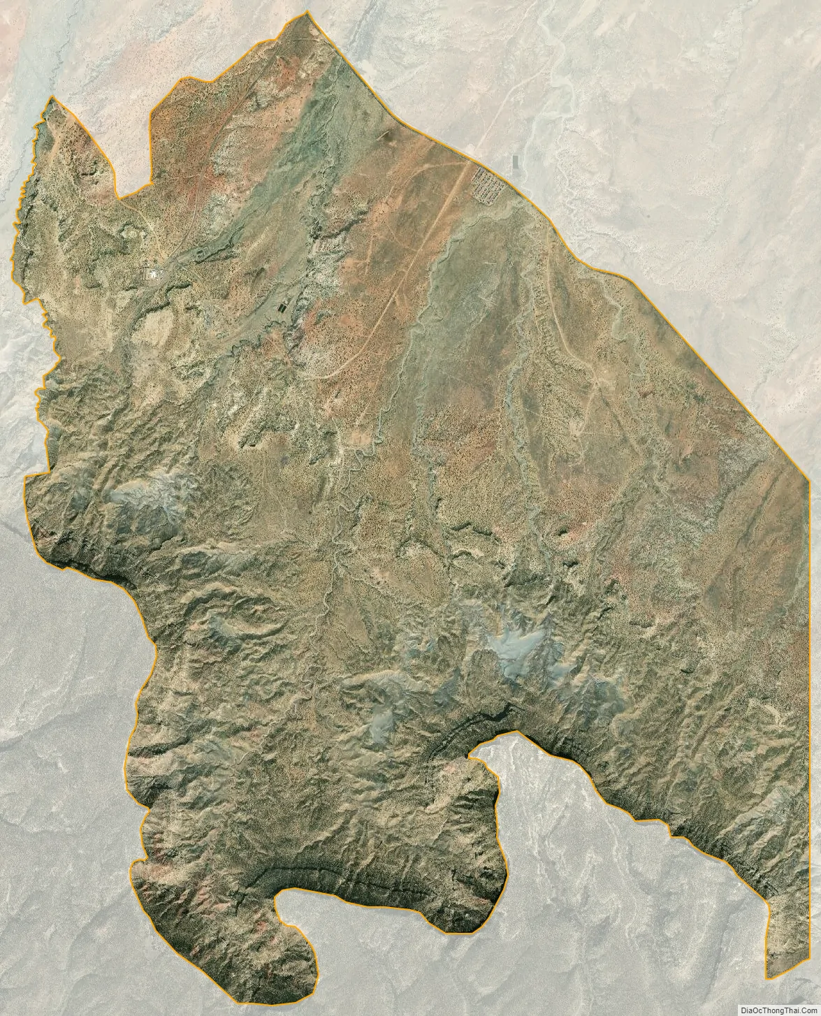
Chilchinbito city Satellite Map
Geography
Chilchinbito is located at 36°31′50″N 110°3′50″W / 36.53056°N 110.06389°W / 36.53056; -110.06389 (36.530559, -110.063832). total area of 23.8 square miles (62 km), all land.
See also
Map of Arizona State and its subdivision: Map of other states:- Alabama
- Alaska
- Arizona
- Arkansas
- California
- Colorado
- Connecticut
- Delaware
- District of Columbia
- Florida
- Georgia
- Hawaii
- Idaho
- Illinois
- Indiana
- Iowa
- Kansas
- Kentucky
- Louisiana
- Maine
- Maryland
- Massachusetts
- Michigan
- Minnesota
- Mississippi
- Missouri
- Montana
- Nebraska
- Nevada
- New Hampshire
- New Jersey
- New Mexico
- New York
- North Carolina
- North Dakota
- Ohio
- Oklahoma
- Oregon
- Pennsylvania
- Rhode Island
- South Carolina
- South Dakota
- Tennessee
- Texas
- Utah
- Vermont
- Virginia
- Washington
- West Virginia
- Wisconsin
- Wyoming