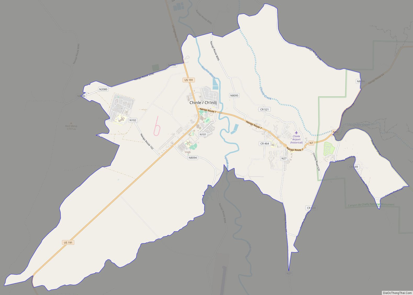
Chinle (Navajo: Chʼínílį́) is a census-designated place (CDP) in Apache County, Arizona, United States. The name in Navajo means “flowing out” and is a reference to the location where the water flows out of the Canyon de Chelly. The population was 4,518 at the 2010 census.
| Name: | Chinle CDP |
|---|---|
| LSAD Code: | 57 |
| LSAD Description: | CDP (suffix) |
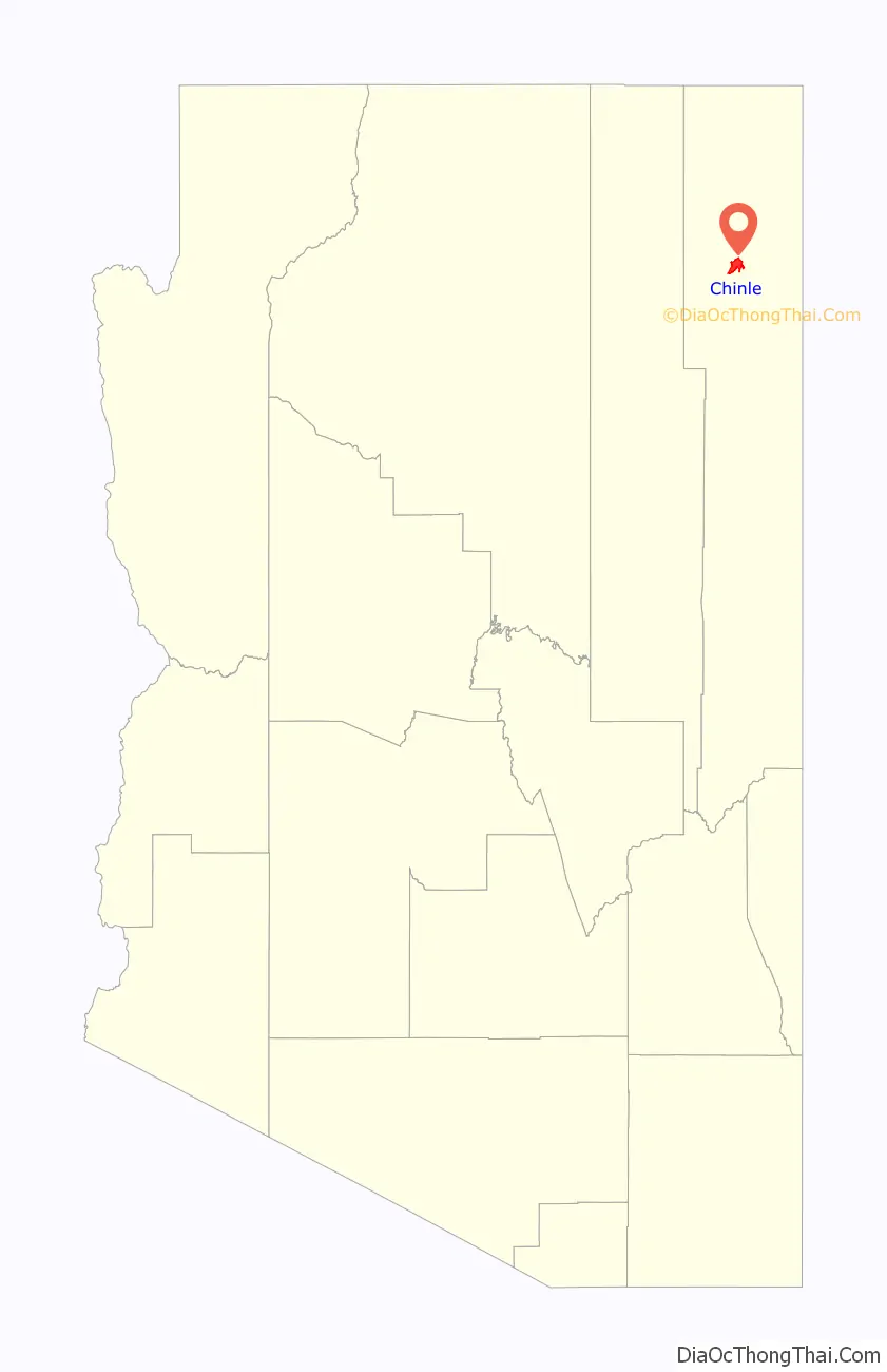
| State: | Arizona |
| County: | Apache County |
| Elevation: | 5,506 ft (1,678 m) |
| Total Area: | 16.32 sq mi (42.26 km²) |
| Land Area: | 16.29 sq mi (42.19 km²) |
| Water Area: | 0.03 sq mi (0.06 km²) |
| Total Population: | 4,573 |
| Population Density: | 280.71/sq mi (108.38/km²) |
| ZIP code: | 86503 |
| Area code: | 928 |
| FIPS code: | 0412770 |
| GNISfeature ID: | 2861 |
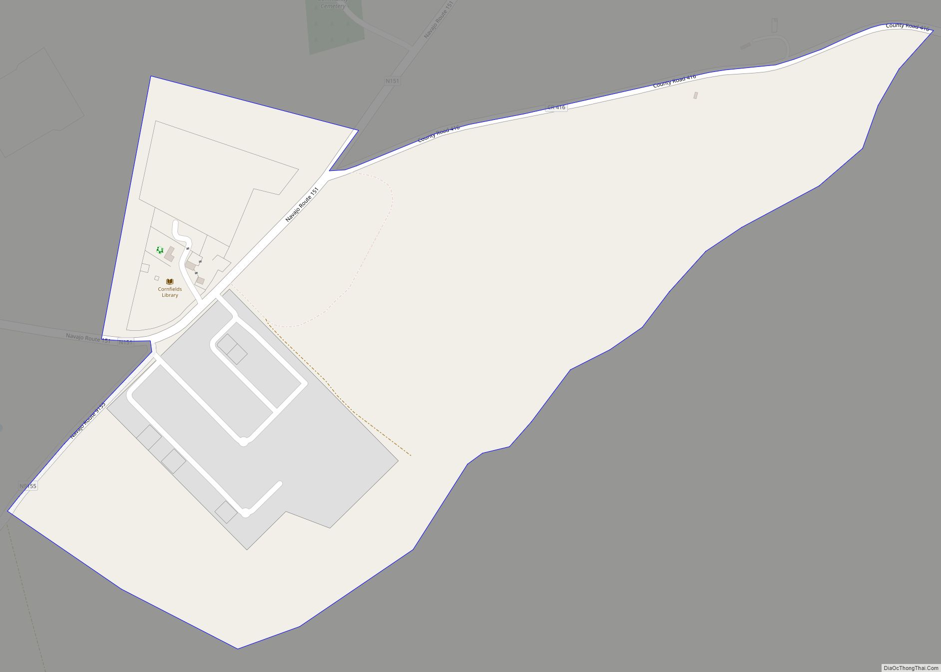
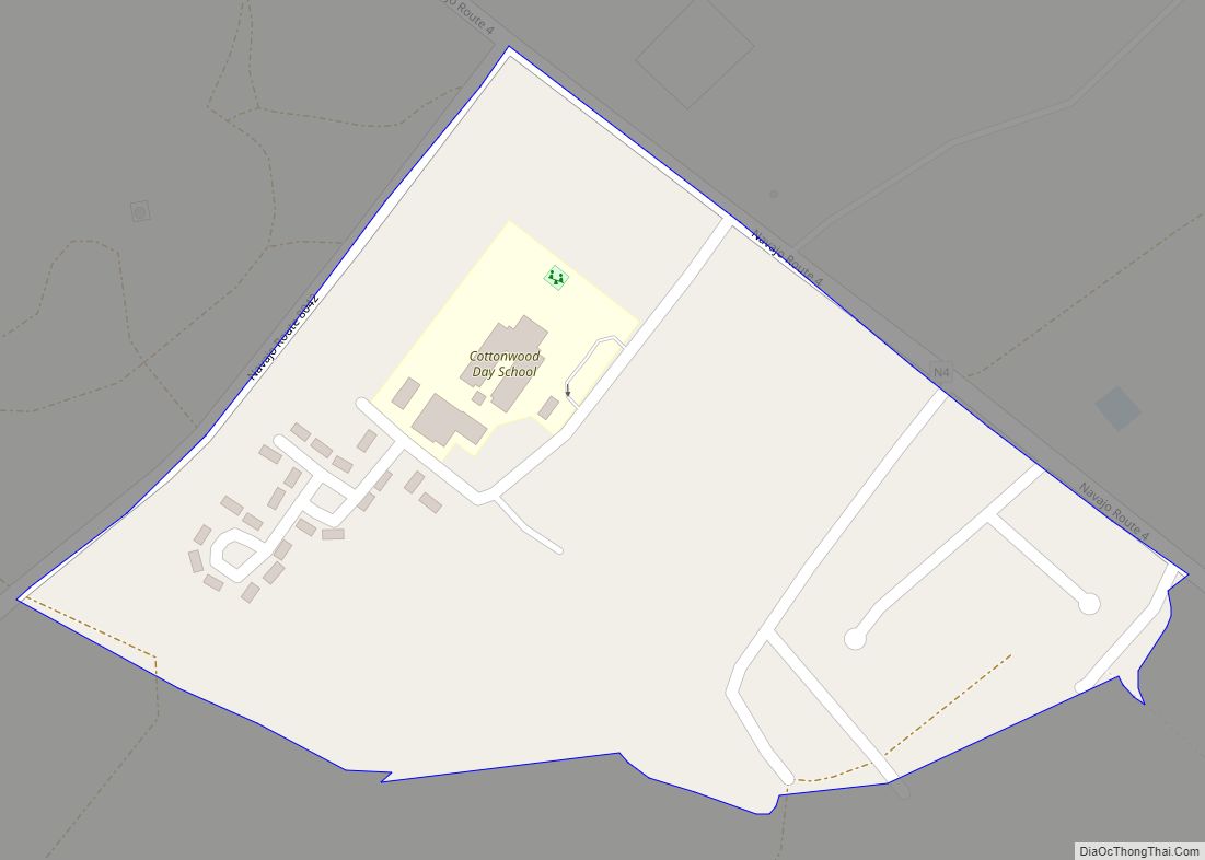
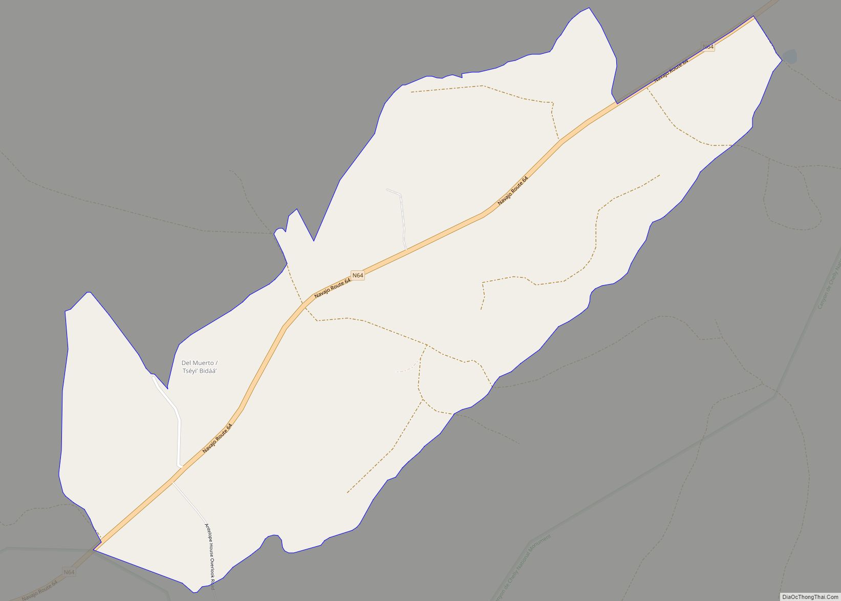
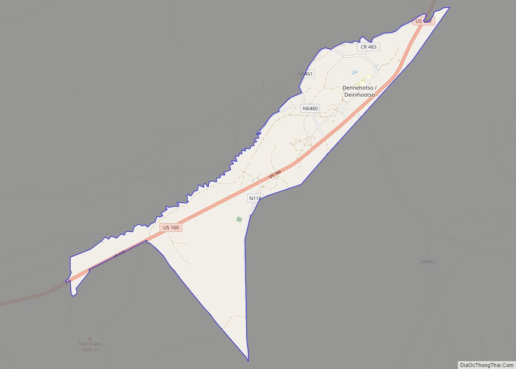
Online Interactive Map
Click on ![]() to view map in "full screen" mode.
to view map in "full screen" mode.
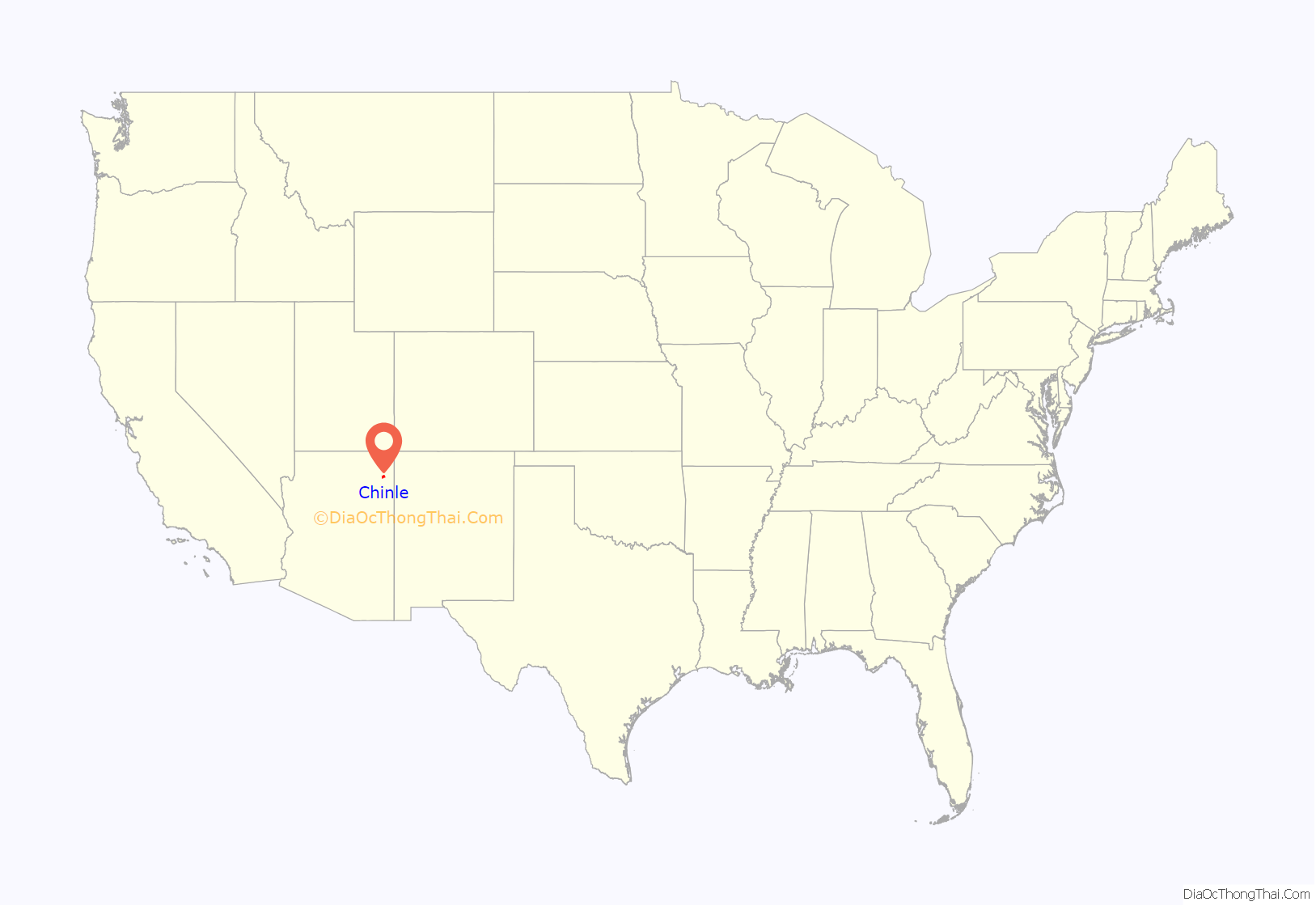
Chinle location map. Where is Chinle CDP?
History
In the Spanish colonial period, Chinle was a base for both trade and war. After acquisition of this area by the United States following the Mexican-American War, relations between the peoples deteriorated in the 1860s.
In the United States conducted a peace conference through their representative Kit Carson and the Navajo people in order to end the war between the Navajo and the U.S. The first trading post operated out of a tent and was established here in 1882. By 1885 a full-sized camp had developed.
The Chinle Boarding School was established in 1910 by the Bureau of Indian Affairs (BIA). Khalil Anthony Johnson Jr., a PhD candidate at Yale University, wrote an article in 2014 that said, with this school, the federal government “established a permanent presence in [Chinle]”, and that the BIA “effectively governed the town thereafter.”
Initially anglicized as Chin Lee, the spelling of the name was changed to Chinle on April 1, 1941.
Chinle serves as a gateway community for Canyon de Chelly National Monument. The monument was established in 1931 primarily to preserve the archaeological sites and record of ancient human history. Canyon de Chelly is unique among the National Park Service units because the park is located entirely on Navajo tribal land and it has a residential community in the canyon.
In the 1950s Chinle had a population with a variety of ethnicities, who tended to settle in separate areas. In addition to Navajo and non-Navajo Native Americans, there were Anglo white and Black people, and some of other races. The total population was under 200. Employees of the Bureau of Indian Affairs (BIA), one of the major employers, and school employees lived in their own compounds. The Chinle Boarding School and a public health clinic were the other two major employers.
By the 1950s the community had an issue with numerous stray dogs, who were not neutered nor spayed. Chinle had no leash law. On April 8, 1956, BIA authorities rounded up and shot stray dogs without warning, leaving some remains at people’s doorsteps. The community protested when another dog shooting was ordered on September 23, 1956. G. Warren Spaulding, The General Superintendent of the Navajo Agency, ordered the dog shoot anyway, and did not notify the residents of his reason for rejecting their protest. Community outcry led to the installation of a gas chamber to euthanize unclaimed dogs.
Chinle’s population was 150 in the 1960 census.
In 2019, the television series Basketball or Nothing, featuring Chinle High School’s basketball team, premiered on Netflix.
Gabrielle Durcharme of Cronkite News stated that the COVID-19 pandemic in Arizona “was hard on the community.”
Chinle Road Map
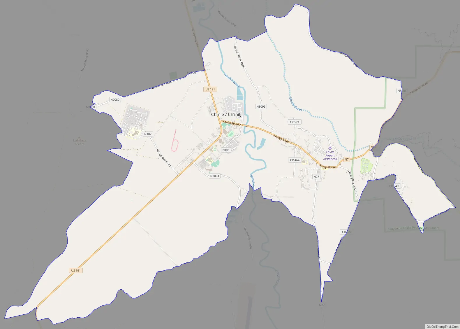
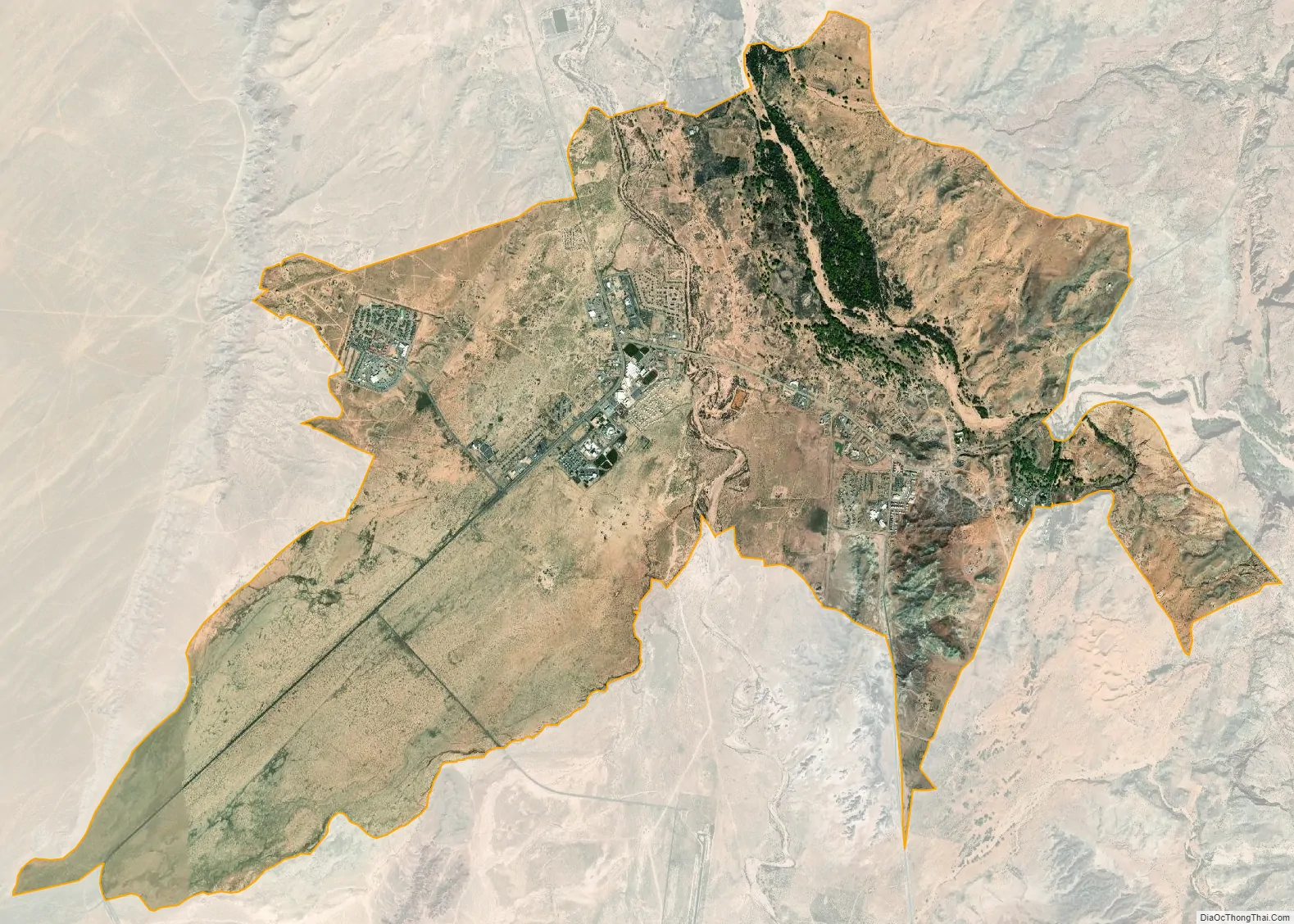
Chinle city Satellite Map
Geography
Chinle is located at 36°9′17″N 109°34′45″W / 36.15472°N 109.57917°W / 36.15472; -109.57917 (36.154718, -109.579040).
According to the United States Census Bureau, the CDP has a total area of 16.1 square miles (41.6 km), of which 16.0 square miles (41.5 km) is land and 0.04 square miles (0.1 km), or 0.16%, is water.
Climate
According to the Köppen Climate Classification system, Chinle has a semi-arid climate, abbreviated “BSk” on climate maps.
See also
Map of Arizona State and its subdivision: Map of other states:- Alabama
- Alaska
- Arizona
- Arkansas
- California
- Colorado
- Connecticut
- Delaware
- District of Columbia
- Florida
- Georgia
- Hawaii
- Idaho
- Illinois
- Indiana
- Iowa
- Kansas
- Kentucky
- Louisiana
- Maine
- Maryland
- Massachusetts
- Michigan
- Minnesota
- Mississippi
- Missouri
- Montana
- Nebraska
- Nevada
- New Hampshire
- New Jersey
- New Mexico
- New York
- North Carolina
- North Dakota
- Ohio
- Oklahoma
- Oregon
- Pennsylvania
- Rhode Island
- South Carolina
- South Dakota
- Tennessee
- Texas
- Utah
- Vermont
- Virginia
- Washington
- West Virginia
- Wisconsin
- Wyoming