Cibecue (Western Apache: Dishchiiʼ Bikoh “Horizontally Red Valley/Canyon”) is a census-designated place (CDP) in Navajo County, Arizona, United States, on the Fort Apache Indian Reservation. The population was 1,713 in the 2010 United States Census.
The current council leaders are Arnold Beach Sr. and Tony Alsenay.
The Cibecue community has a high unemployment rate, which was exacerbated by the Rodeo–Chediski Fire, Arizona’s second-largest wildfire in recorded history. Education is the sector that employs the most people in the community.
| Name: | Cibecue CDP |
|---|---|
| LSAD Code: | 57 |
| LSAD Description: | CDP (suffix) |
| State: | Arizona |
| County: | Navajo County |
| Elevation: | 4,922 ft (1,500 m) |
| Total Area: | 5.97 sq mi (15.47 km²) |
| Land Area: | 5.97 sq mi (15.46 km²) |
| Water Area: | 0.00 sq mi (0.00 km²) |
| Total Population: | 1,816 |
| Population Density: | 304.14/sq mi (117.43/km²) |
| ZIP code: | 85911 |
| Area code: | 928 |
| FIPS code: | 0413400 |
| GNISfeature ID: | 2921 |
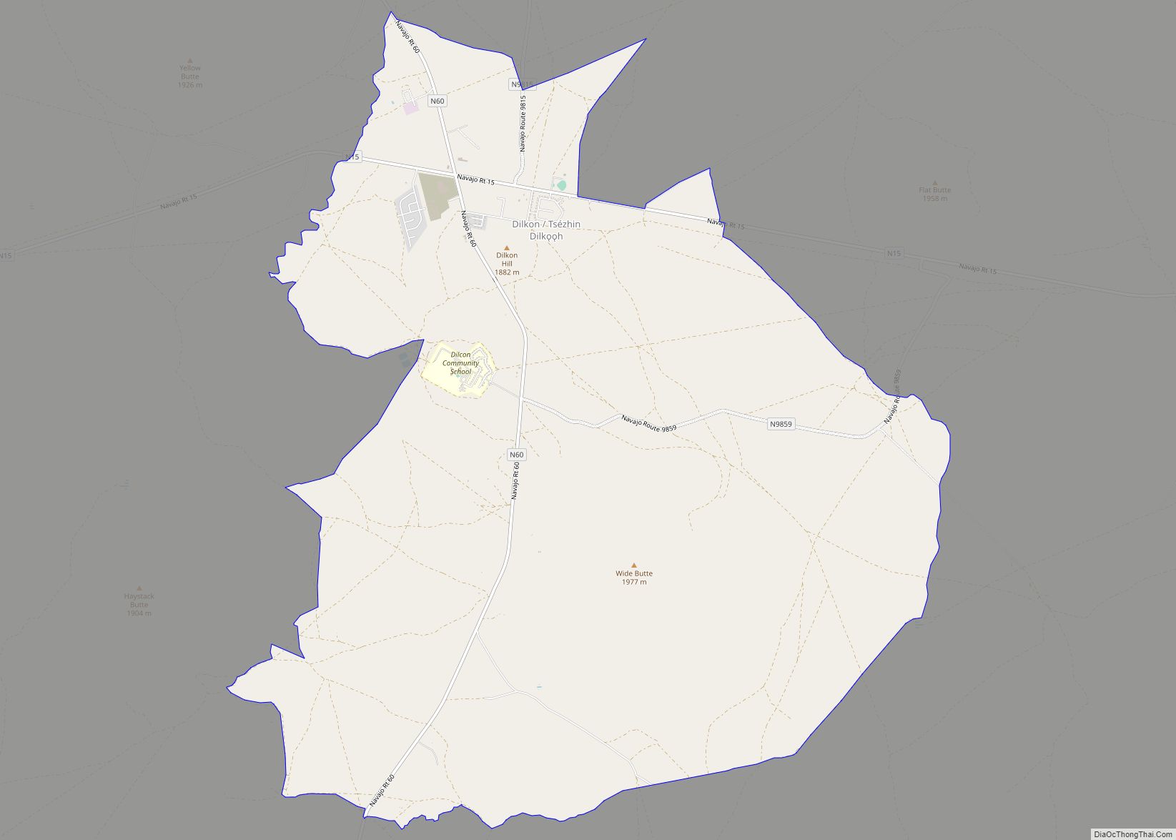
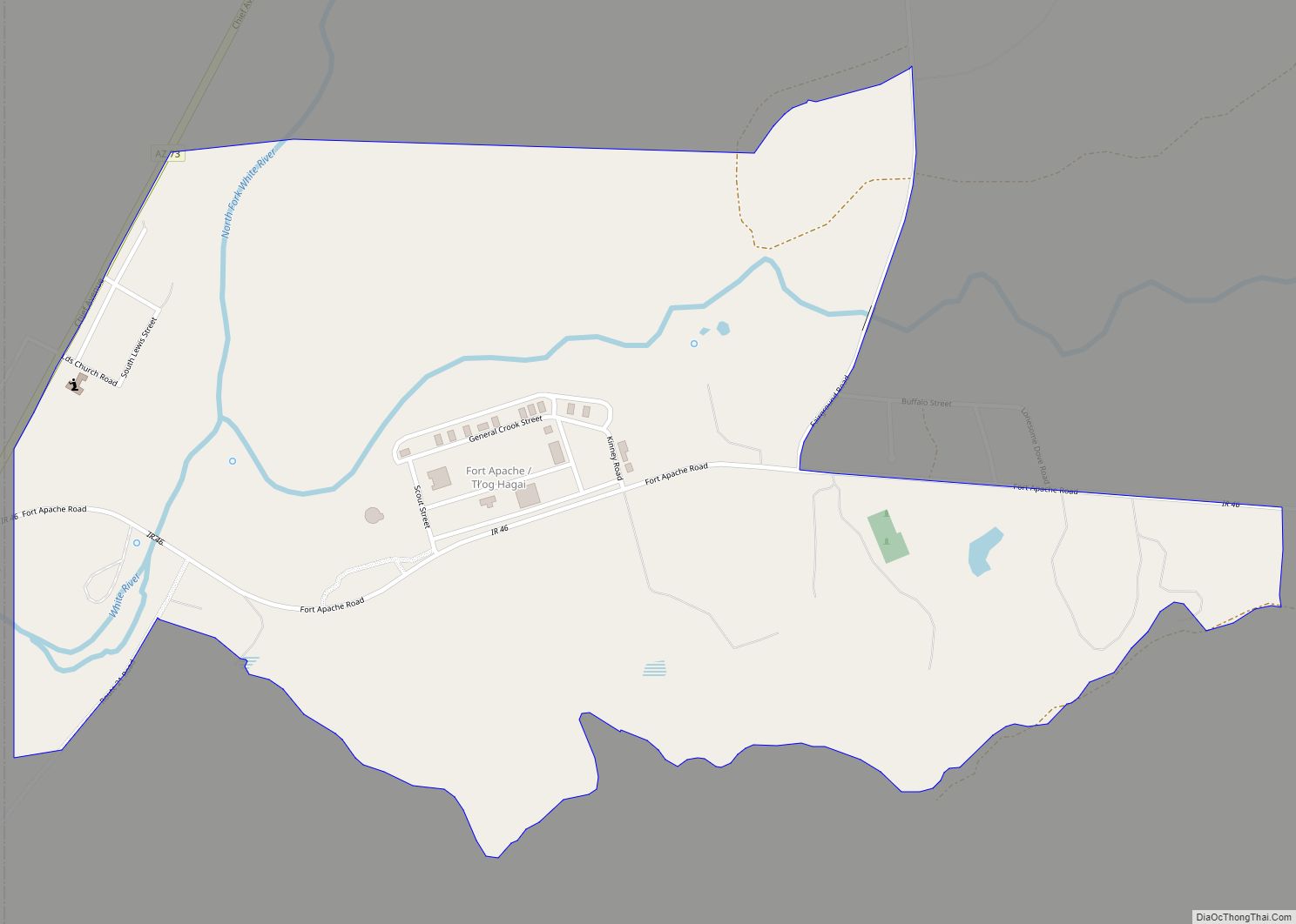
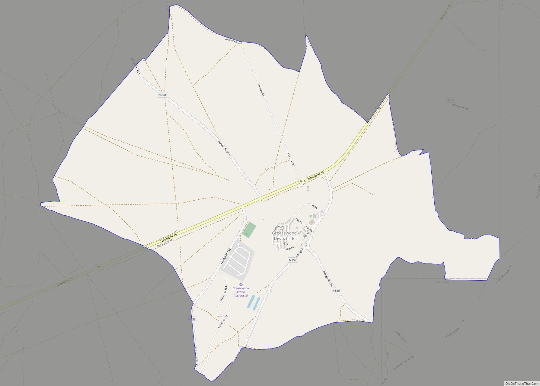
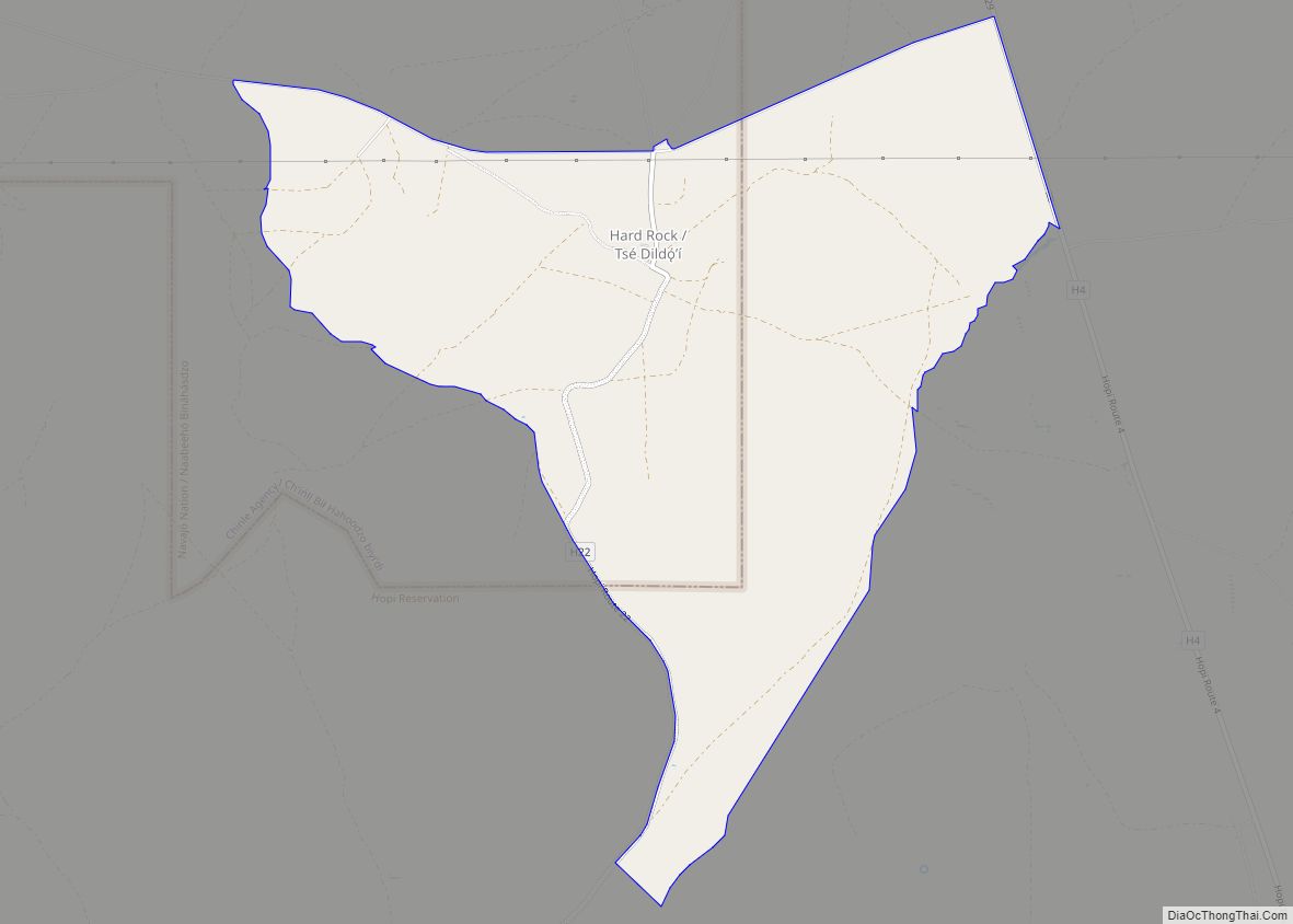
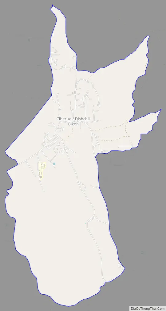
Online Interactive Map
Click on ![]() to view map in "full screen" mode.
to view map in "full screen" mode.
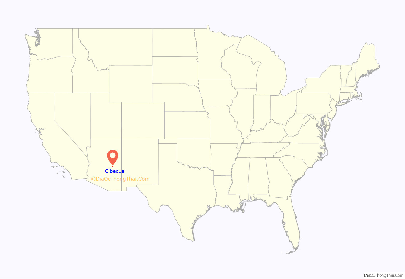
Cibecue location map. Where is Cibecue CDP?
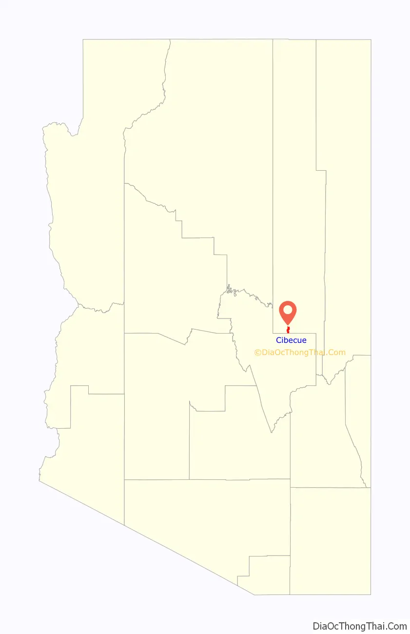
Cibecue Road Map
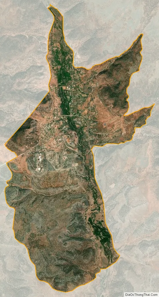
Cibecue city Satellite Map
Geography
Cibecue is located at 34°2′23″N 110°29′8″W / 34.03972°N 110.48556°W / 34.03972; -110.48556 (34.039644, -110.485435).
According to the United States Census Bureau, the CDP has a total area of 6.0 square miles (16 km), all land.
Climate
See also
Map of Arizona State and its subdivision: Map of other states:- Alabama
- Alaska
- Arizona
- Arkansas
- California
- Colorado
- Connecticut
- Delaware
- District of Columbia
- Florida
- Georgia
- Hawaii
- Idaho
- Illinois
- Indiana
- Iowa
- Kansas
- Kentucky
- Louisiana
- Maine
- Maryland
- Massachusetts
- Michigan
- Minnesota
- Mississippi
- Missouri
- Montana
- Nebraska
- Nevada
- New Hampshire
- New Jersey
- New Mexico
- New York
- North Carolina
- North Dakota
- Ohio
- Oklahoma
- Oregon
- Pennsylvania
- Rhode Island
- South Carolina
- South Dakota
- Tennessee
- Texas
- Utah
- Vermont
- Virginia
- Washington
- West Virginia
- Wisconsin
- Wyoming