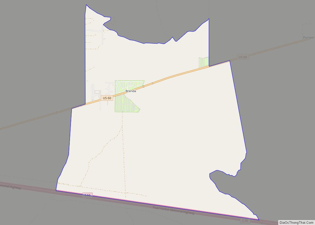
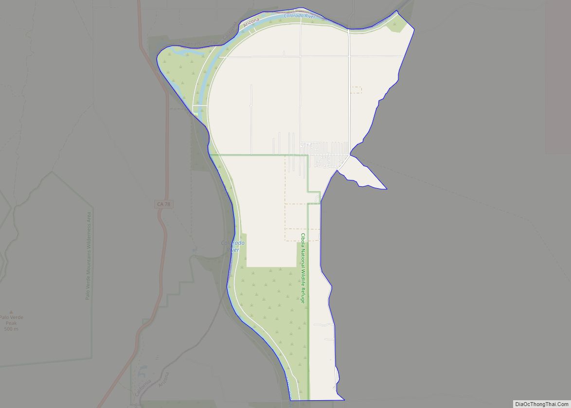
Cibola is a census-designated place (CDP) in La Paz County, Arizona, United States. The population was 250 at the 2010 census, up from 172 in 2000. It is named for the famed city of gold of the same name.
| Name: | Cibola CDP |
|---|---|
| LSAD Code: | 57 |
| LSAD Description: | CDP (suffix) |
| State: | Arizona |
| County: | La Paz County |
| Elevation: | 243 ft (74 m) |
| Total Area: | 20.19 sq mi (52.29 km²) |
| Land Area: | 19.52 sq mi (50.56 km²) |
| Water Area: | 0.67 sq mi (1.73 km²) |
| Total Population: | 198 |
| Population Density: | 10.14/sq mi (3.92/km²) |
| ZIP code: | 85328 |
| Area code: | 928 |
| FIPS code: | 0413470 |
| GNISfeature ID: | 24371 |
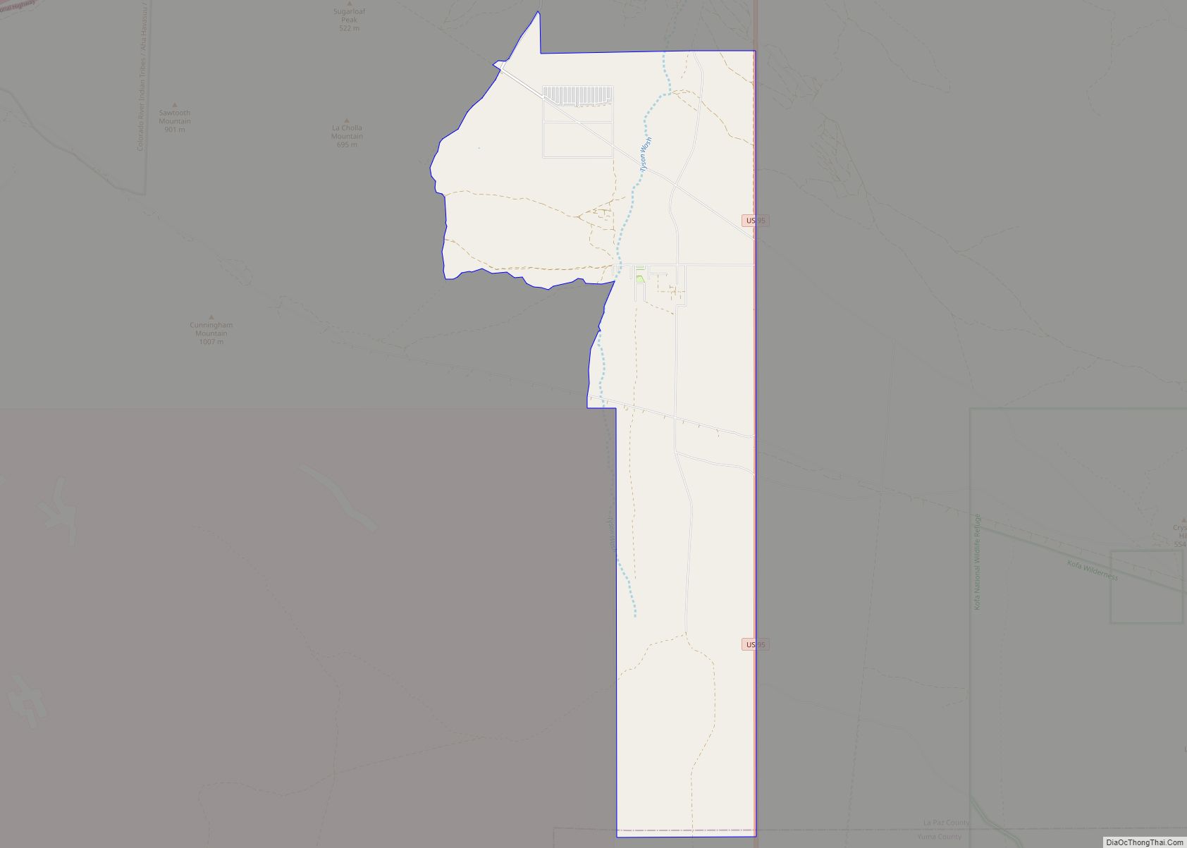
Online Interactive Map
Click on ![]() to view map in "full screen" mode.
to view map in "full screen" mode.
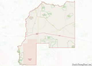
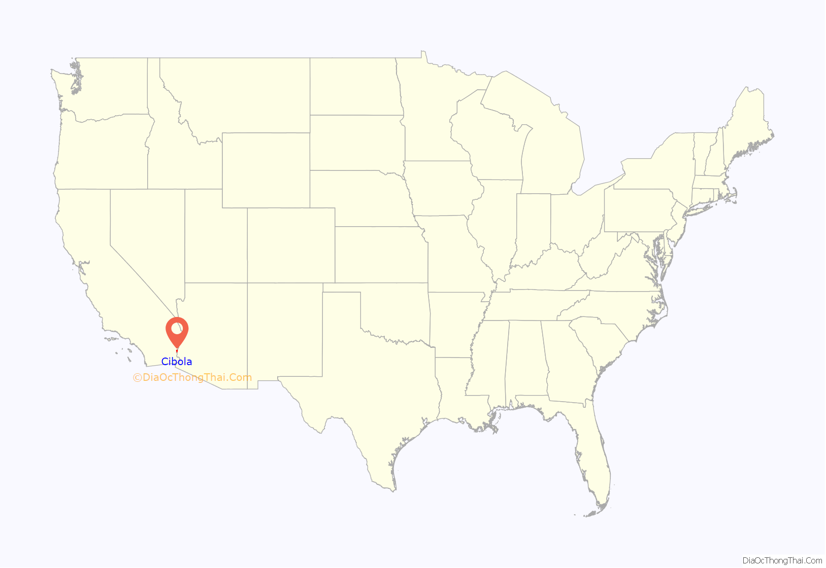
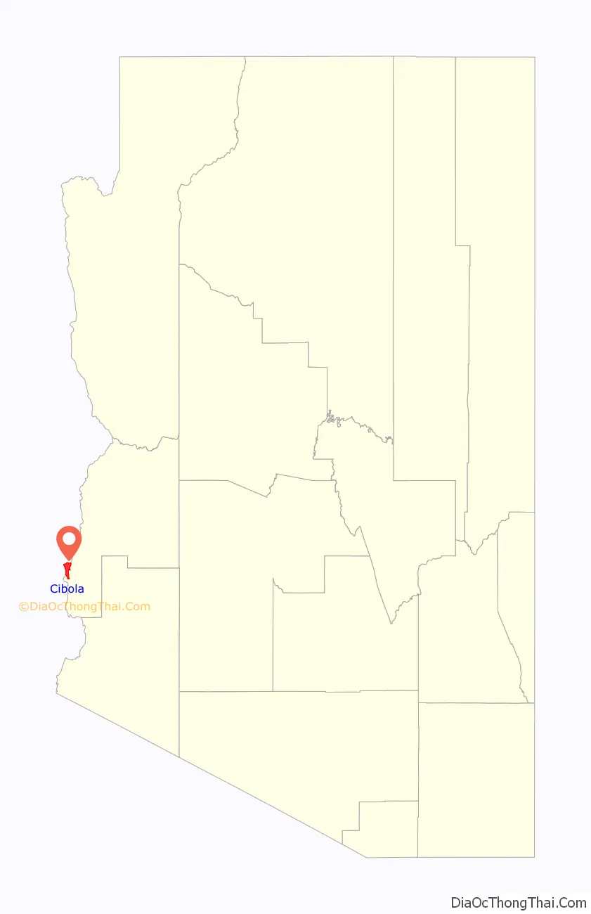
Cibola location map. Where is Cibola CDP?
History
The population of Cibola was 20 in the 1960 census.
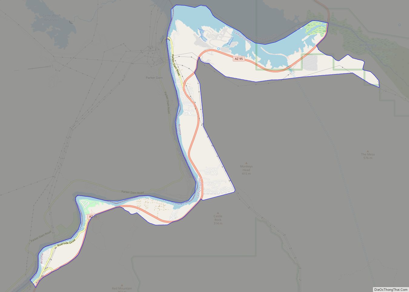
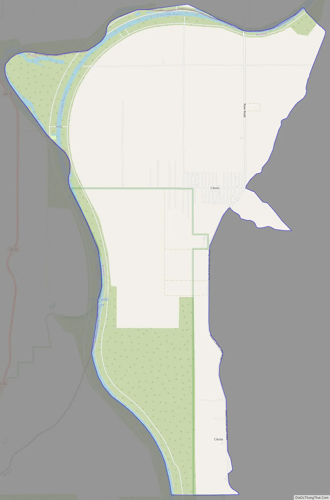
Cibola Road Map
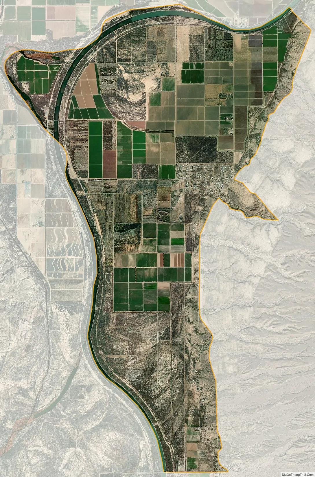
Cibola city Satellite Map
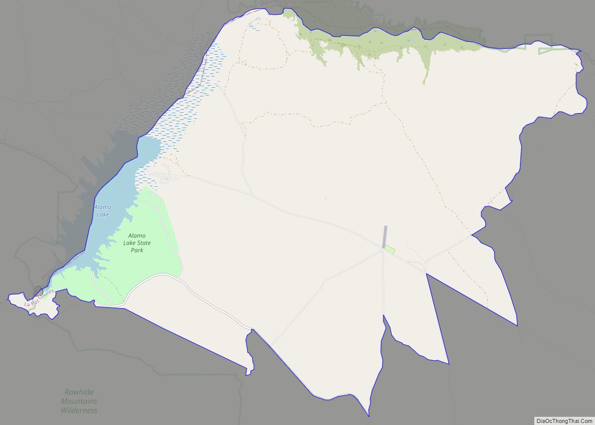
Geography
Cibola is located in southwestern La Paz County at 33°18′59″N 114°39′54″W / 33.31639°N 114.66500°W / 33.31639; -114.66500 (33.3164215, -114.6649570), in the Cibola Valley on the east side of the Colorado River. The community is bordered to the west, across the river, by the state of California. The river is crossed by River Road in the eastern part of the CDP; River Road leads south 2.5 miles (4.0 km) to Cibola Park in the center of the CDP, while to the north Neighbors Boulevard leads 8 miles (13 km) to Ripley, California. The northern end of Cibola National Wildlife Refuge occupies the southern part of the CDP.
According to the United States Census Bureau, the CDP has a total area of 20.2 square miles (52.3 km), of which 19.5 square miles (50.6 km) are land and 0.66 square miles (1.7 km), or 3.3%, are water.
Climate
This area has a large amount of sunshine year round due to its stable descending air and high pressure. According to the Köppen Climate Classification system, Cibola has a desert climate, abbreviated “Bwh” on climate maps.
See also
Map of Arizona State and its subdivision: Map of other states:- Alabama
- Alaska
- Arizona
- Arkansas
- California
- Colorado
- Connecticut
- Delaware
- District of Columbia
- Florida
- Georgia
- Hawaii
- Idaho
- Illinois
- Indiana
- Iowa
- Kansas
- Kentucky
- Louisiana
- Maine
- Maryland
- Massachusetts
- Michigan
- Minnesota
- Mississippi
- Missouri
- Montana
- Nebraska
- Nevada
- New Hampshire
- New Jersey
- New Mexico
- New York
- North Carolina
- North Dakota
- Ohio
- Oklahoma
- Oregon
- Pennsylvania
- Rhode Island
- South Carolina
- South Dakota
- Tennessee
- Texas
- Utah
- Vermont
- Virginia
- Washington
- West Virginia
- Wisconsin
- Wyoming