Cornfields is a chapter of the Navajo Nation and a census-designated place (CDP) in Apache County, Arizona, United States. The population was 255 at the 2010 census.
Cornfields is part of the Fort Defiance Agency, of the Bureau of Indian Affairs; Ganado, AZ is the delegate seat for the district that encompasses the Jeddito, Cornfields, Ganado, Kinlichee, Steamboat communities at the Navajo Nation Council.
| Name: | Cornfields CDP |
|---|---|
| LSAD Code: | 57 |
| LSAD Description: | CDP (suffix) |
| State: | Arizona |
| County: | Apache County |
| Elevation: | 6,135 ft (1,870 m) |
| Total Area: | 0.38 sq mi (0.97 km²) |
| Land Area: | 0.38 sq mi (0.97 km²) |
| Water Area: | 0.00 sq mi (0.00 km²) |
| Total Population: | 221 |
| Population Density: | 589.33/sq mi (227.52/km²) |
| ZIP code: | 86505 |
| Area code: | 928 |
| FIPS code: | 0415850 |
| GNISfeature ID: | 0003279 |
Online Interactive Map
Click on ![]() to view map in "full screen" mode.
to view map in "full screen" mode.
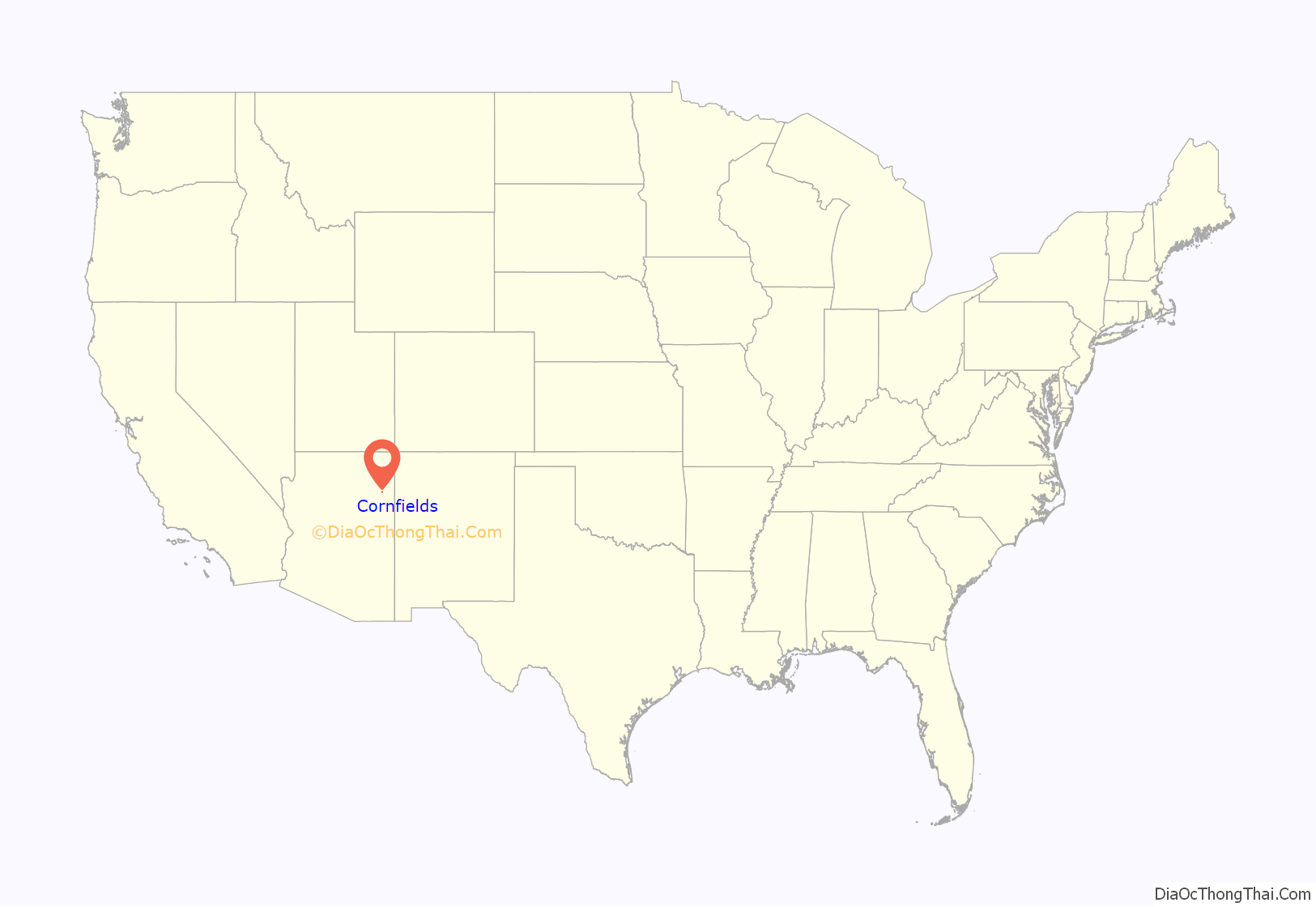
Cornfields location map. Where is Cornfields CDP?
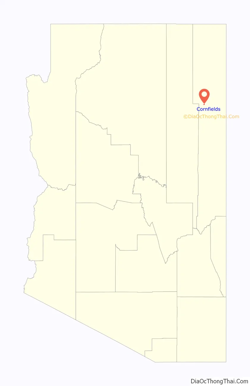
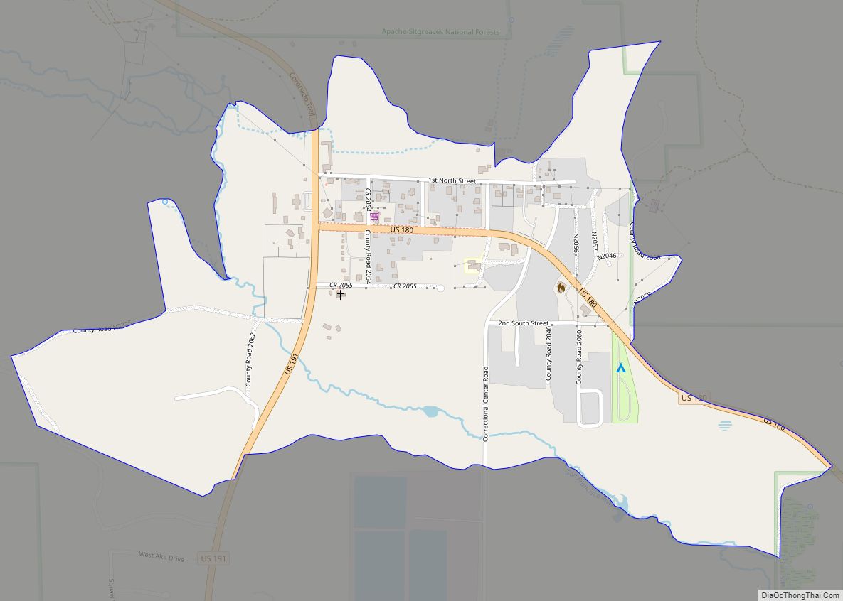
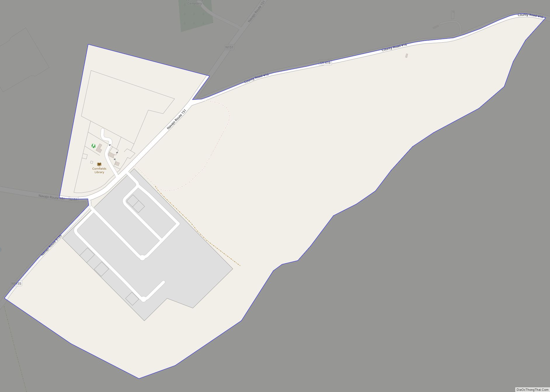
Cornfields Road Map
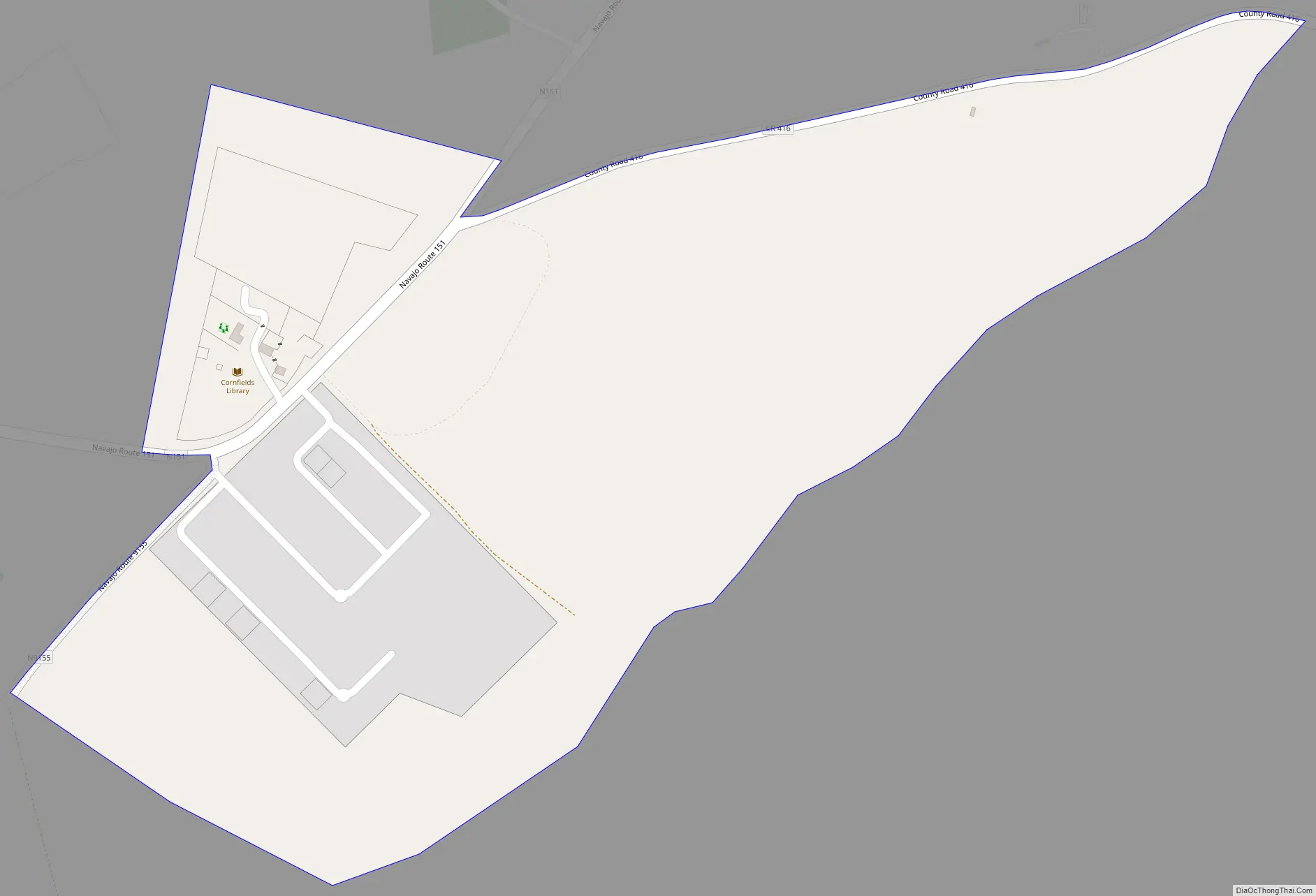
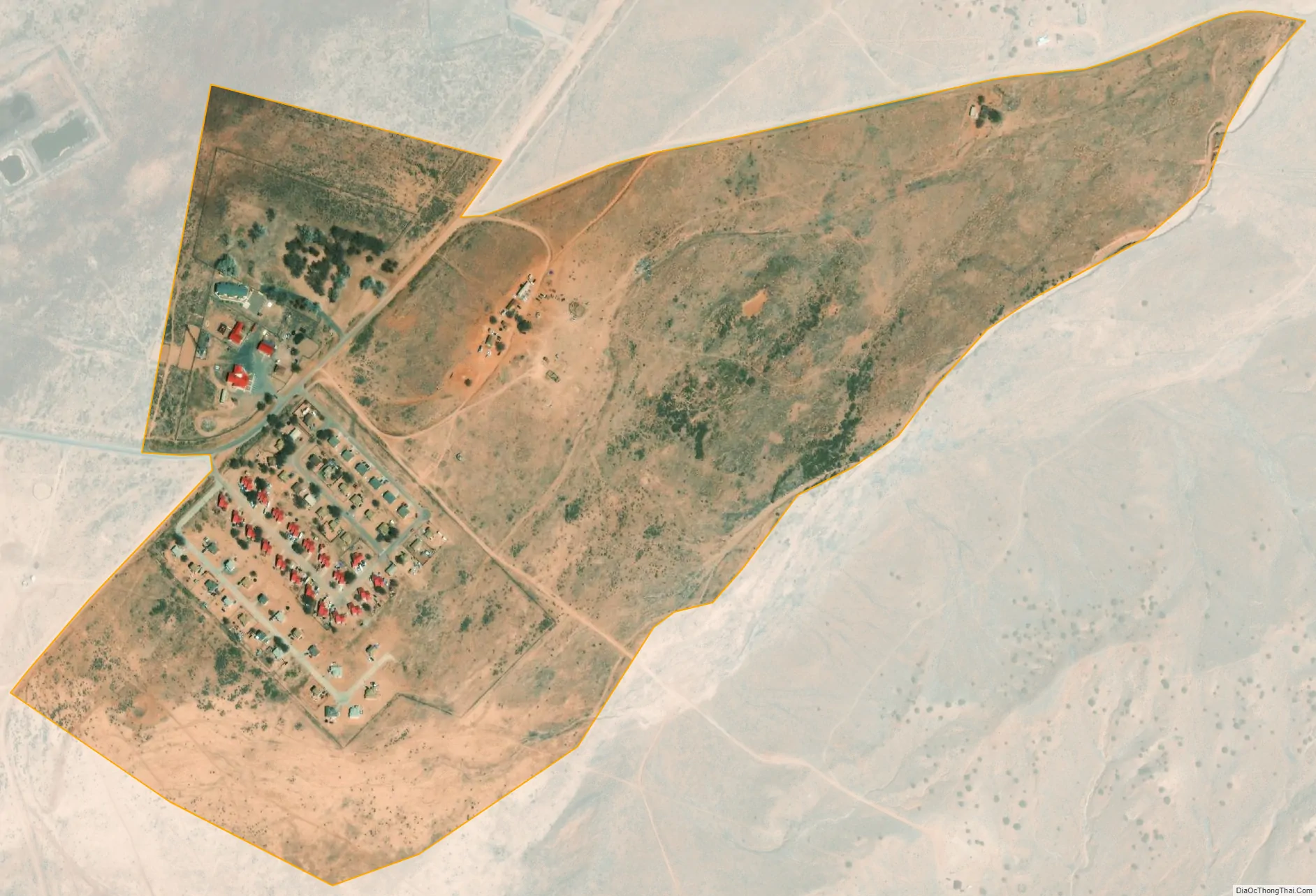
Cornfields city Satellite Map
Geography
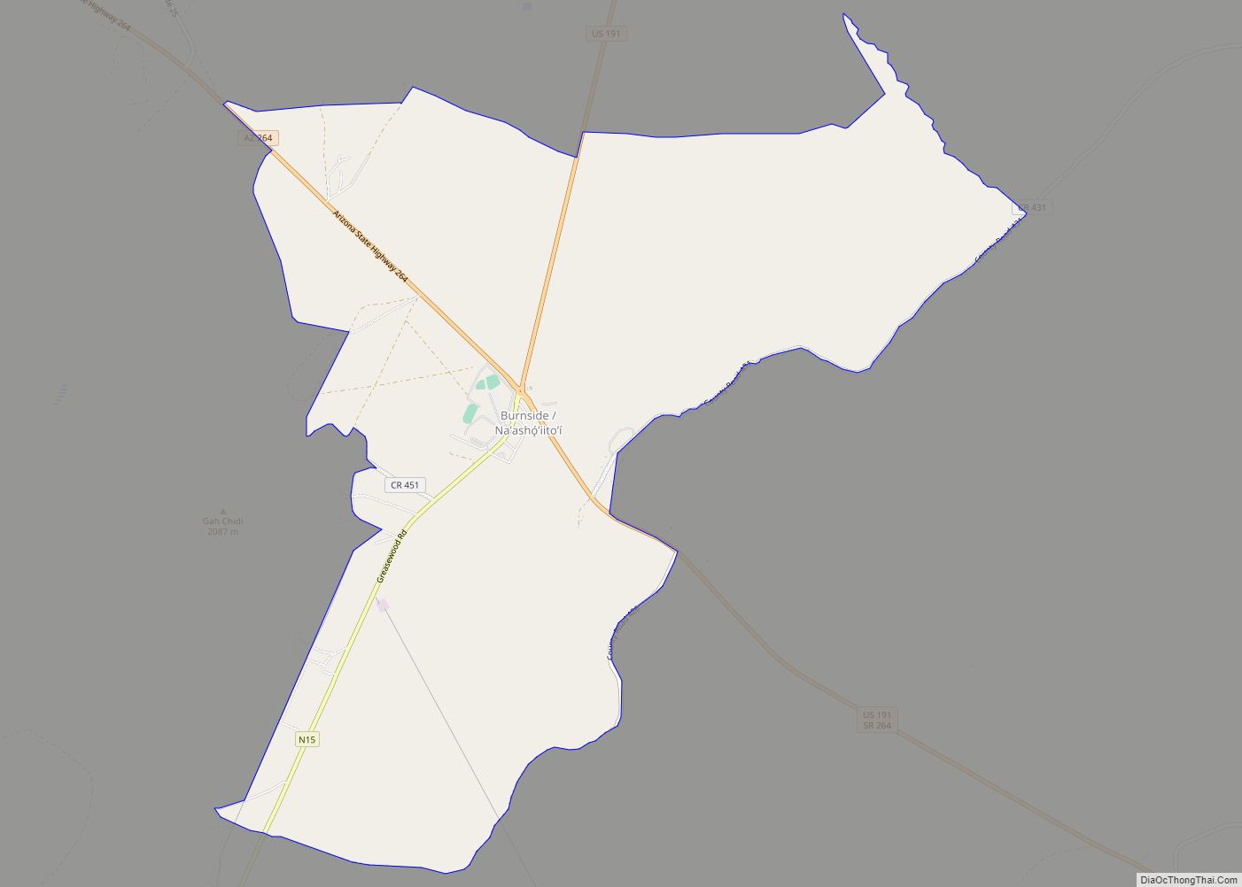
Cornfields is located at 35°39′08″N 109°40′45″W / 35.65222°N 109.67917°W / 35.65222; -109.67917, about 10 miles (16 km) southwest of Burnside.
According to the United States Census Bureau, the CDP has a total area of 0.39 square miles (1.0 km), all land. Cornfields is part of the greater Ganado area which includes Ganado, Burnside, Cornfields, Kinlichee, Wood Springs, Klagetoh, and Steamboat and the family ranches dispersed amongst these sub-areas.
See also
Map of Arizona State and its subdivision: Map of other states:- Alabama
- Alaska
- Arizona
- Arkansas
- California
- Colorado
- Connecticut
- Delaware
- District of Columbia
- Florida
- Georgia
- Hawaii
- Idaho
- Illinois
- Indiana
- Iowa
- Kansas
- Kentucky
- Louisiana
- Maine
- Maryland
- Massachusetts
- Michigan
- Minnesota
- Mississippi
- Missouri
- Montana
- Nebraska
- Nevada
- New Hampshire
- New Jersey
- New Mexico
- New York
- North Carolina
- North Dakota
- Ohio
- Oklahoma
- Oregon
- Pennsylvania
- Rhode Island
- South Carolina
- South Dakota
- Tennessee
- Texas
- Utah
- Vermont
- Virginia
- Washington
- West Virginia
- Wisconsin
- Wyoming