Dudleyville is a census-designated place (CDP) in Pinal County, Arizona, United States. The population was 959 at the 2010 census.
| Name: | Dudleyville CDP |
|---|---|
| LSAD Code: | 57 |
| LSAD Description: | CDP (suffix) |
| State: | Arizona |
| County: | Pinal County |
| Elevation: | 1,946 ft (593 m) |
| Total Area: | 6.71 sq mi (17.37 km²) |
| Land Area: | 6.71 sq mi (17.37 km²) |
| Water Area: | 0.00 sq mi (0.00 km²) |
| Total Population: | 597 |
| Population Density: | 89.00/sq mi (34.36/km²) |
| ZIP code: | 85192 |
| Area code: | 520 |
| FIPS code: | 0420680 |
| GNISfeature ID: | 24402 |
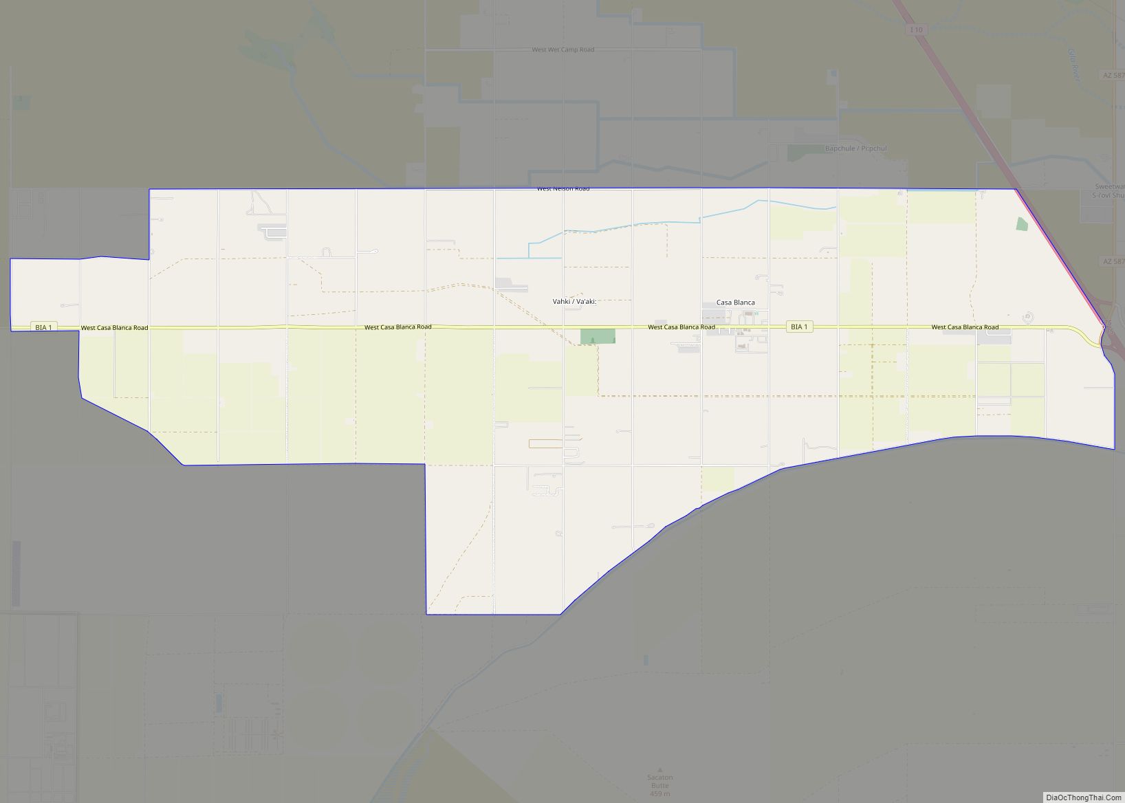
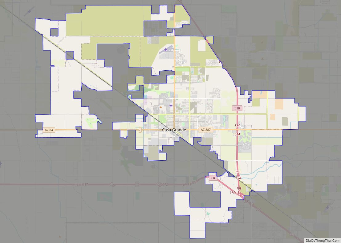
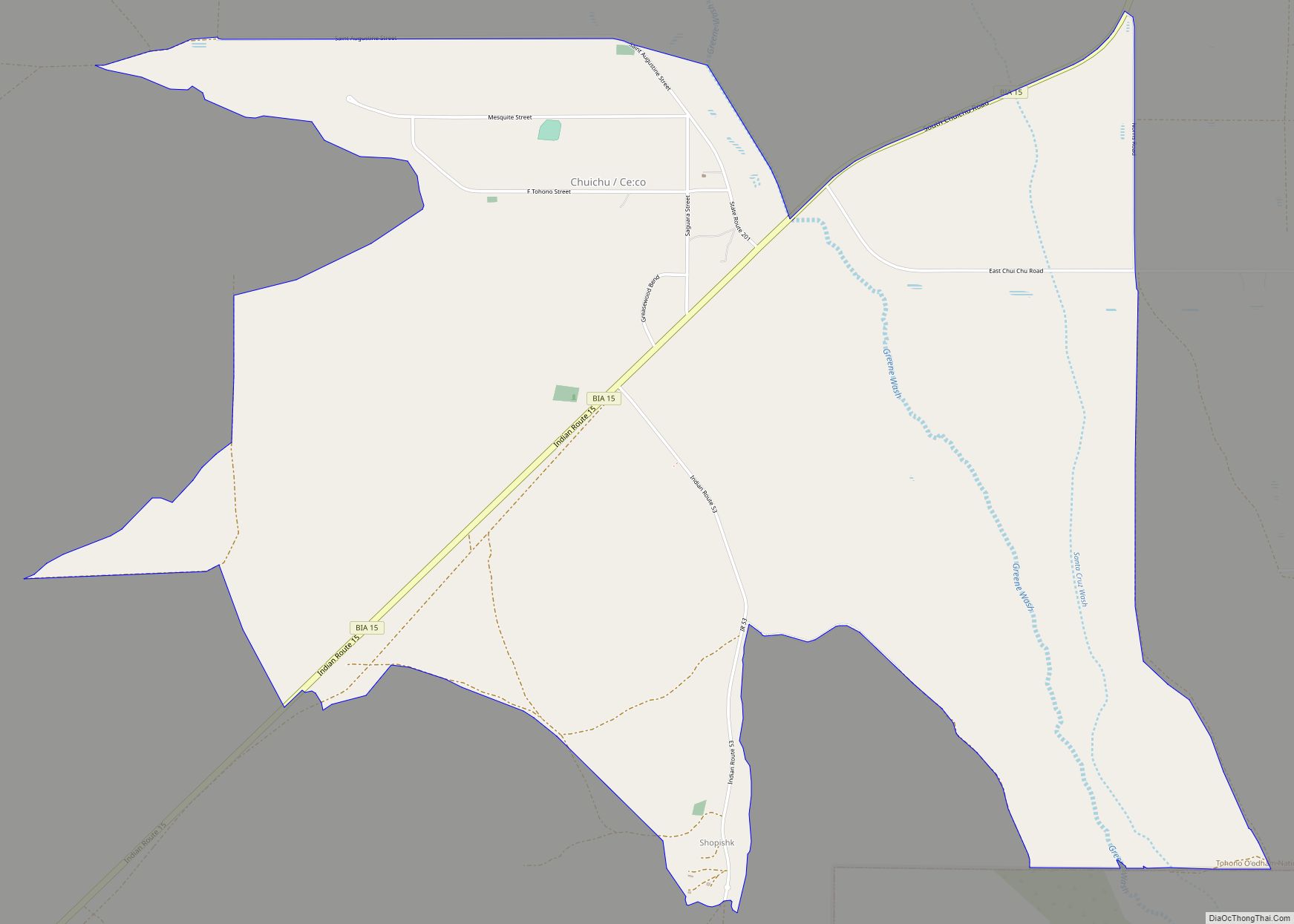
Online Interactive Map
Click on ![]() to view map in "full screen" mode.
to view map in "full screen" mode.
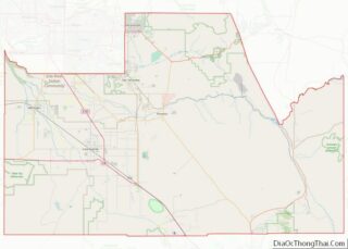
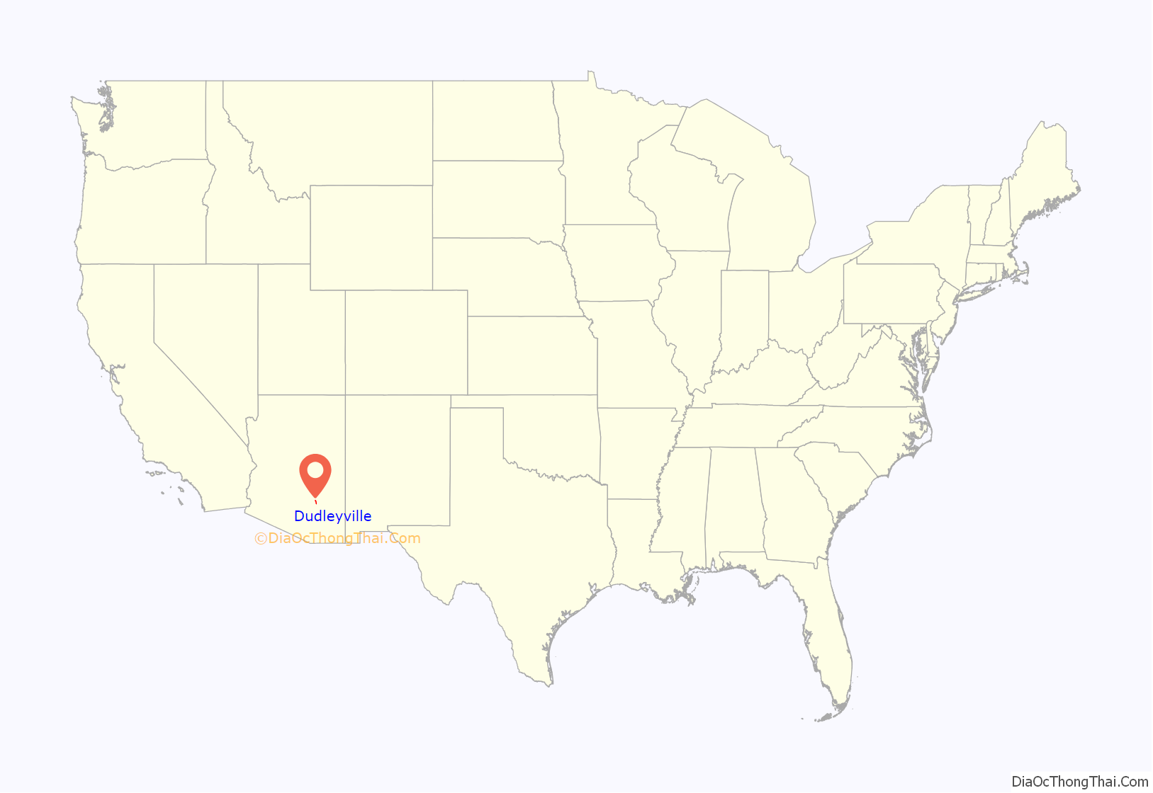
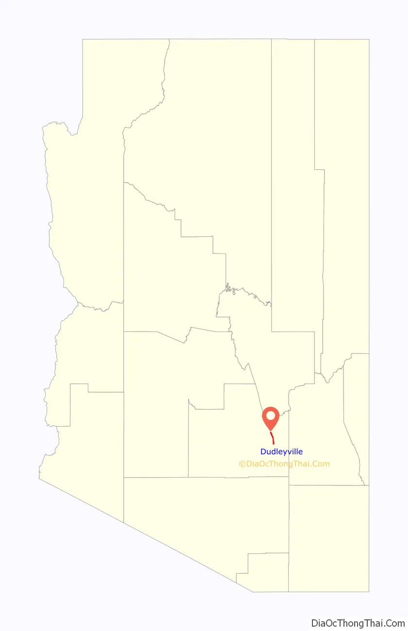
Dudleyville location map. Where is Dudleyville CDP?
History
During the 1870s ranchers moved cattle into the lands along the lower San Pedro River. At what would become Dudleyville, a stage station opened in the late 1870s along the Globe to Tucson stage road. On May 8, 1881, William Dudley Harrington, operator of the stage station, was appointed first post master of the new post office of Dudleyville. Harrington and his wife Amanda Jane Crowley were from Missouri and had moved to California before settling with their family on a farm along the San Pedro. The small village of Dudleyville, with stage stop, mercantile and post office, farms, ranches, and prospectors, was a small regional center for two and a half decades. The village was eclipsed by the new town site of Winkleman, a mile north near the mouth of the San Pedro River on the Gila River, with the opening of the Phoenix & Eastern Railroad on September 28, 1904, to the new rail town.
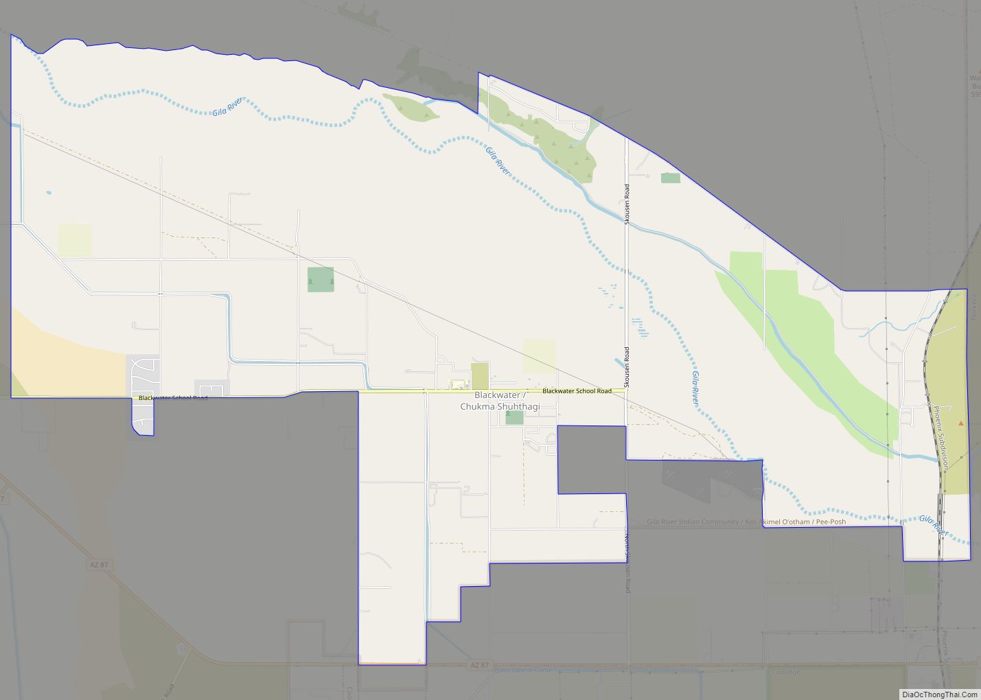
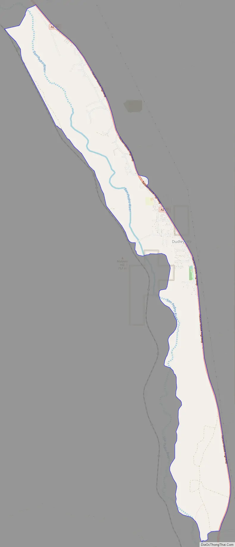
Dudleyville Road Map
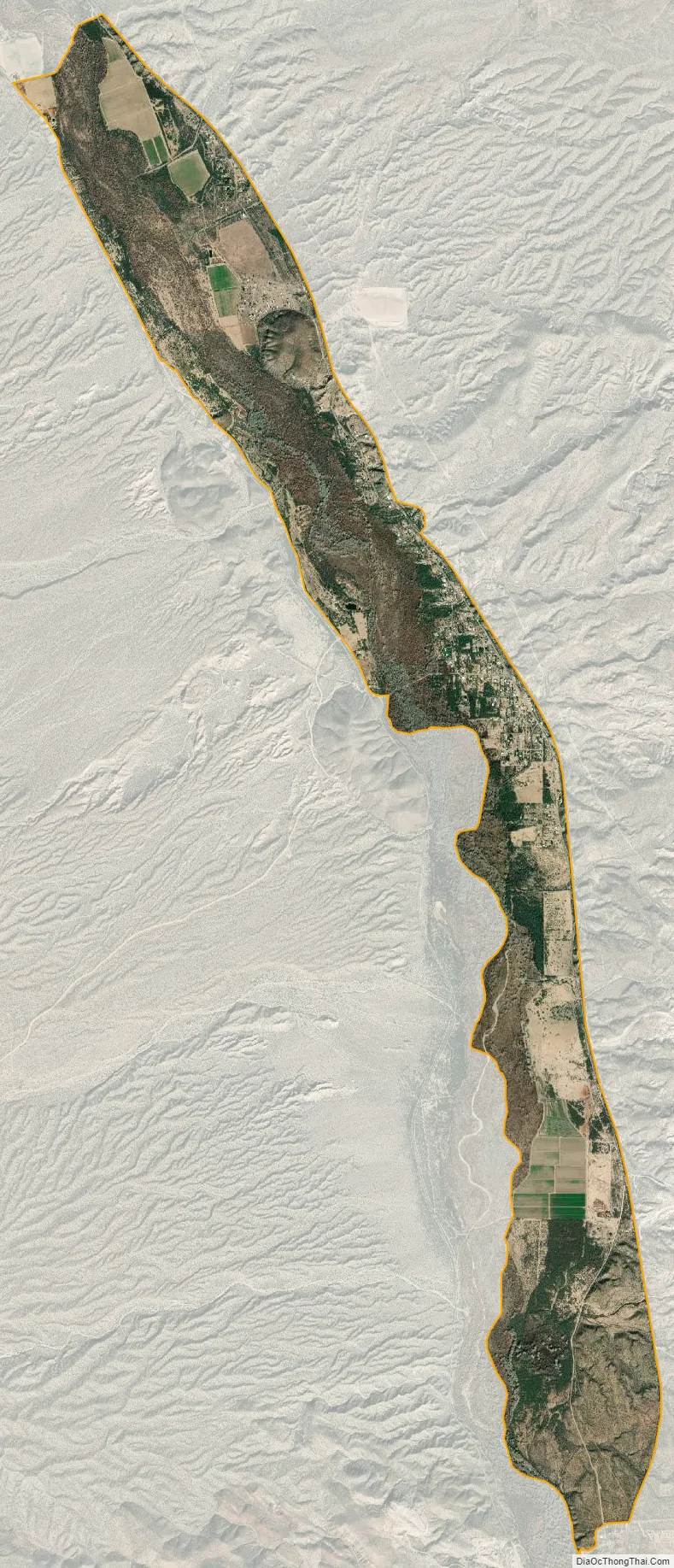
Dudleyville city Satellite Map
Geography
Dudleyville is located at 32°55′47″N 110°44′2″W / 32.92972°N 110.73389°W / 32.92972; -110.73389 (32.929812, -110.733899).
According to the United States Census Bureau, the CDP has a total area of 6.9 square miles (18 km), all land.
The village includes the San Pedro River Preserve and the Dudleyville Volunteer Fire District.
Dudleyville was the site of the 2017 Roach Fire, which consumed nearly 1,200 acres.
See also
Map of Arizona State and its subdivision: Map of other states:- Alabama
- Alaska
- Arizona
- Arkansas
- California
- Colorado
- Connecticut
- Delaware
- District of Columbia
- Florida
- Georgia
- Hawaii
- Idaho
- Illinois
- Indiana
- Iowa
- Kansas
- Kentucky
- Louisiana
- Maine
- Maryland
- Massachusetts
- Michigan
- Minnesota
- Mississippi
- Missouri
- Montana
- Nebraska
- Nevada
- New Hampshire
- New Jersey
- New Mexico
- New York
- North Carolina
- North Dakota
- Ohio
- Oklahoma
- Oregon
- Pennsylvania
- Rhode Island
- South Carolina
- South Dakota
- Tennessee
- Texas
- Utah
- Vermont
- Virginia
- Washington
- West Virginia
- Wisconsin
- Wyoming