Fort Defiance (Navajo: Tséhootsooí [tsʰéhòːtsʰòː.í]) is a census-designated place (CDP) in Apache County, Arizona, United States. It is also located within the Navajo Nation. The population was 3,624 at the 2010 census.
| Name: | Fort Defiance CDP |
|---|---|
| LSAD Code: | 57 |
| LSAD Description: | CDP (suffix) |
| State: | Arizona |
| County: | Apache County |
| Elevation: | 6,836 ft (2,084 m) |
| Total Area: | 6.41 sq mi (16.60 km²) |
| Land Area: | 6.41 sq mi (16.60 km²) |
| Water Area: | 0.00 sq mi (0.00 km²) |
| Total Population: | 3,541 |
| Population Density: | 552.59/sq mi (213.36/km²) |
| ZIP code: | 86504 |
| Area code: | 928 |
| FIPS code: | 0424460 |
| GNISfeature ID: | 4747 |
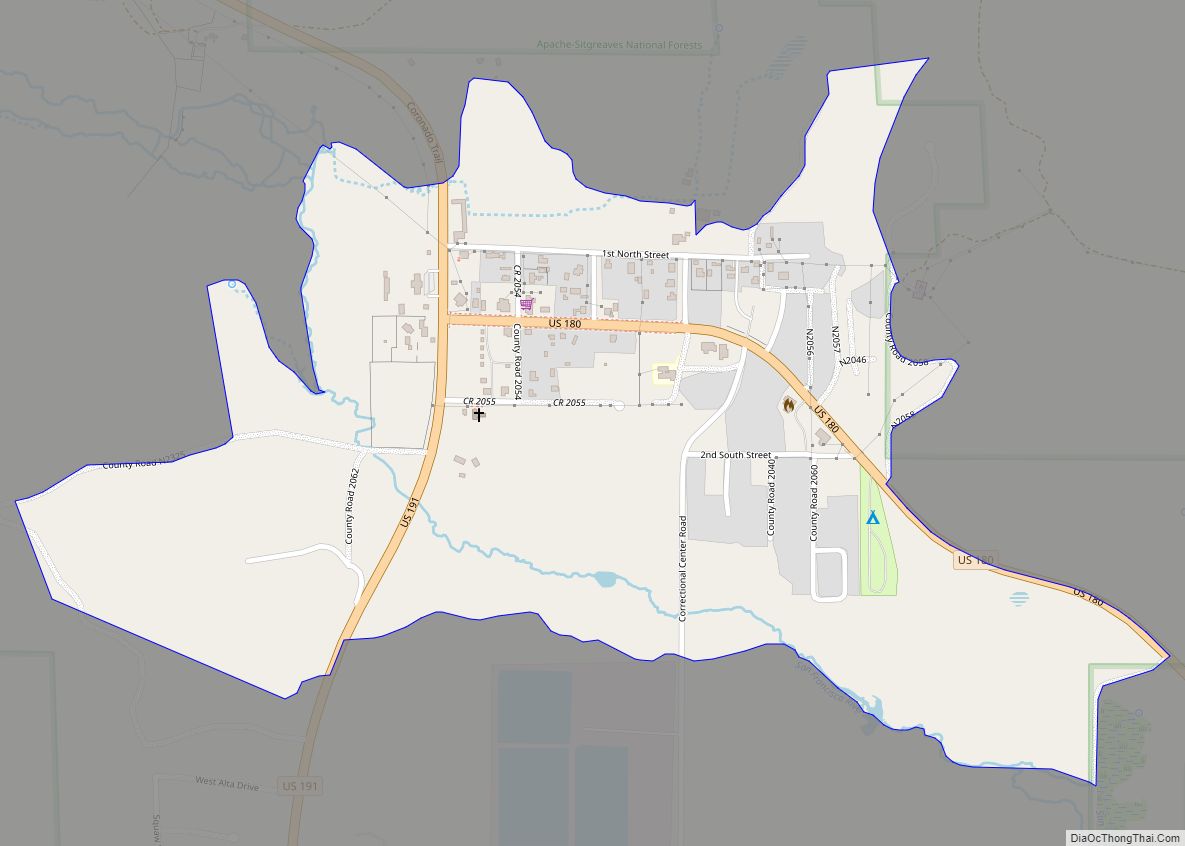
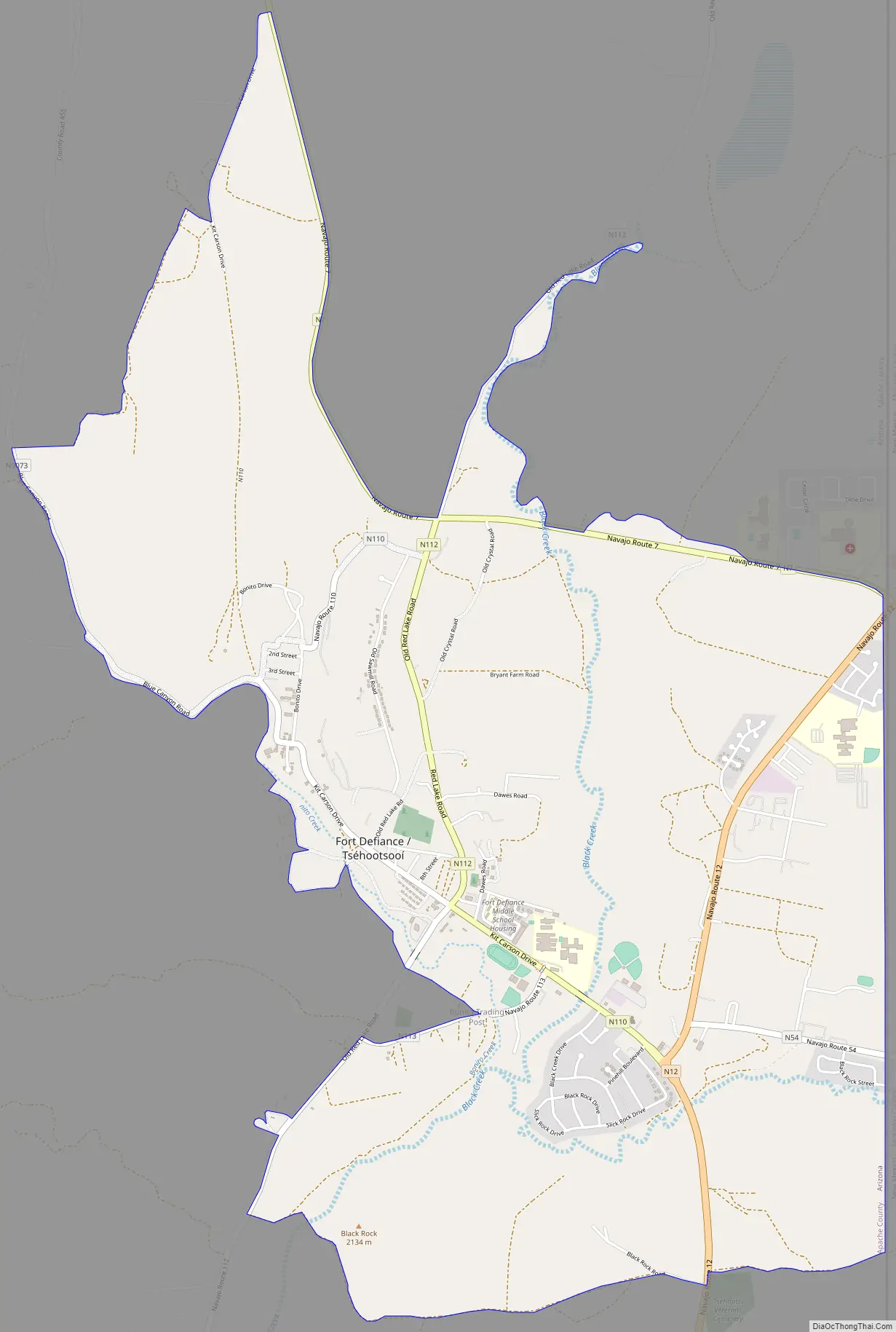
Online Interactive Map
Click on ![]() to view map in "full screen" mode.
to view map in "full screen" mode.
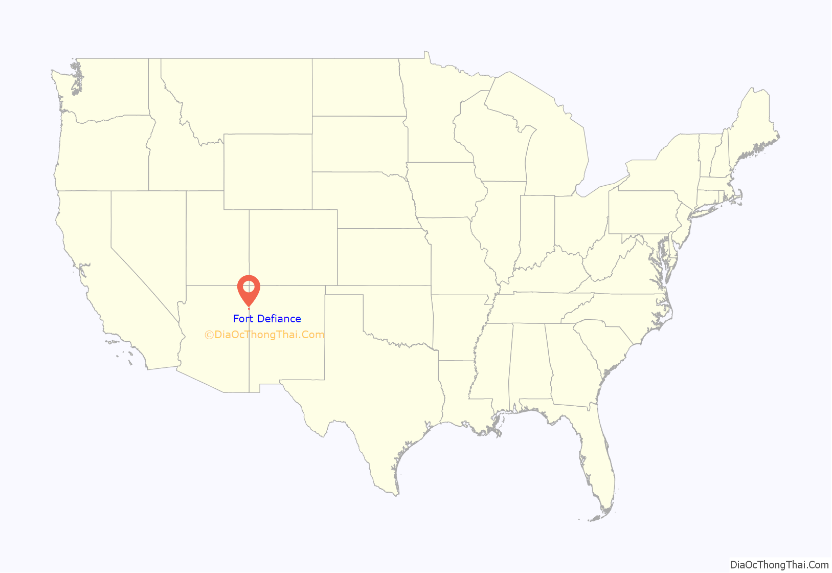
Fort Defiance location map. Where is Fort Defiance CDP?
History
The land on which Fort Defiance was eventually established was first noted by the U.S. military when Colonel John Washington stopped there on his return journey from an expedition to Canyon de Chelly. Fort Defiance was established on September 18, 1851, by Col. Edwin V. Sumner to create a military presence in Diné bikéyah (Navajo territory). Sumner broke up the fort at Santa Fe for this purpose, creating the first military post in what is now Arizona. He left Major Electus Backus in charge.
Fort Defiance was built on valuable grazing land that the federal government then prohibited the Navajo from using. As a result, the appropriately named fort experienced intense fighting, culminating in two attacks: in 1856 and 1860. The next year, at the onset of the Civil War, the army abandoned Fort Defiance. Continued Navajo raids in the area led Brigadier General James H. Carleton to send Kit Carson to impose order. The fort was reestablished as Fort Canby in 1863 as a base for Carson’s operations against the Navajo. General Carleton’s “solution” was brutal: thousands of starving Navajo were forced on a Long Walk of 450 miles (720 km) and interned near Fort Sumner, New Mexico, and much of their livestock was destroyed. Following completion of this campaign in 1864 the fort was again abandoned and was burned by remaining Navajo, with only its walls remaining. The Navajo Treaty of 1868 allowed those interned to return to a portion of their land, and Fort Defiance was reestablished as an Indian agency that year. In 1870, the first government school for the Navajo was established there.
Today, the site of Fort Defiance is populated by buildings dating from the 1930s to the present day used by various governmental agencies including the Bureau of Indian Affairs, Indian Health Service, and the Navajo Nation. The largest of these buildings was the Fort Defiance Indian Hospital until 2002.
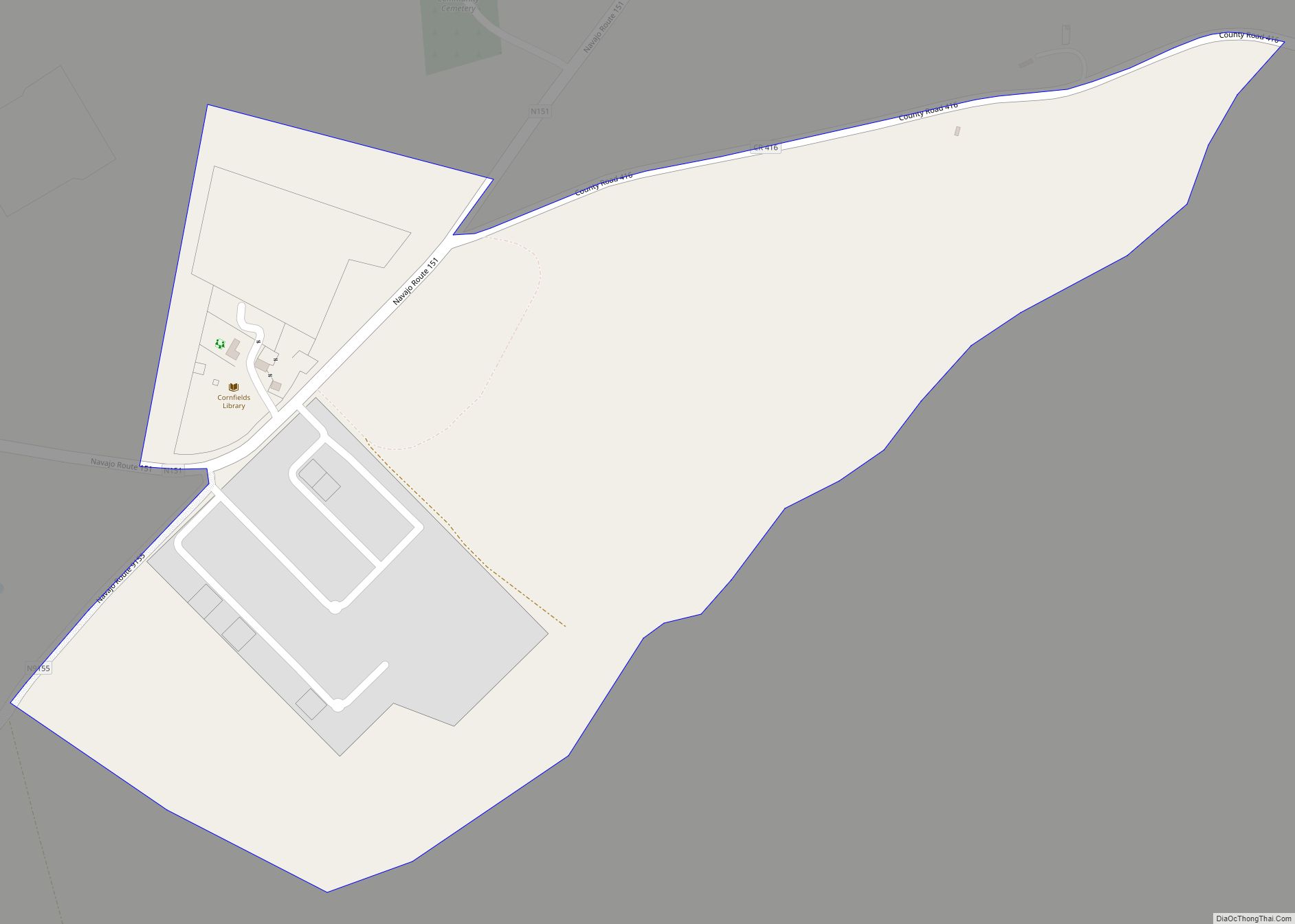
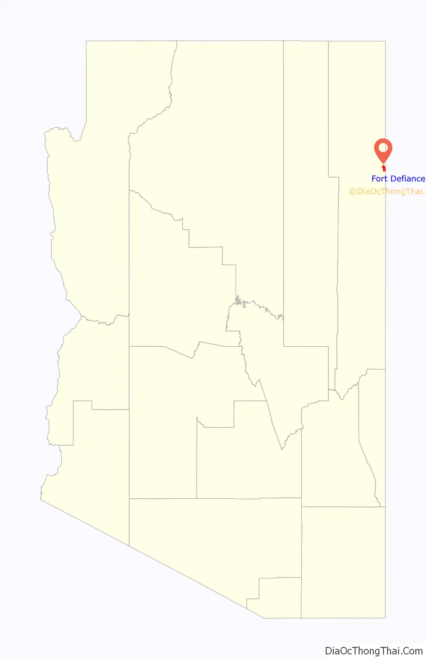
Fort Defiance Road Map
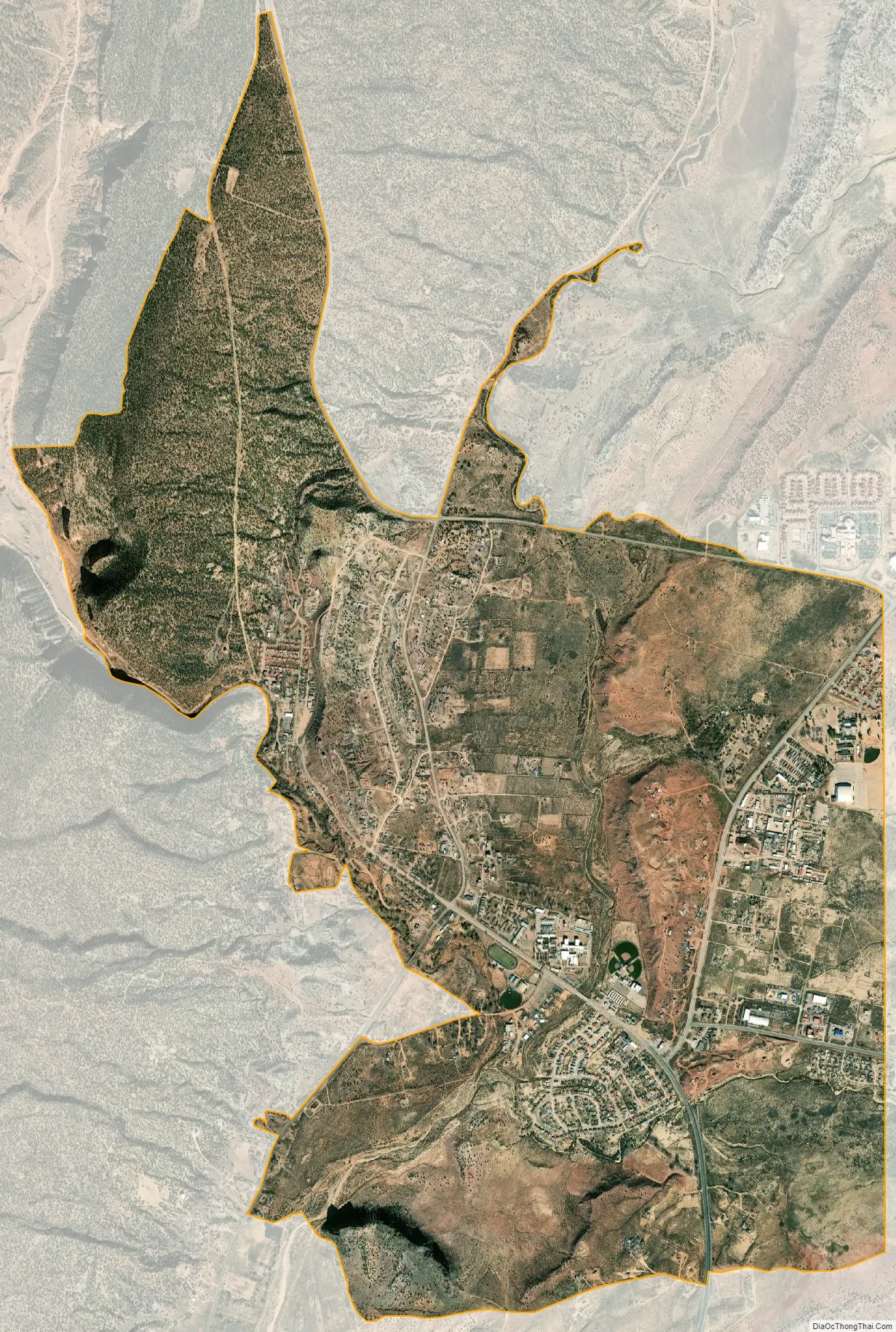
Fort Defiance city Satellite Map
Geography
Fort Defiance is located at 35°44′49″N 109°04′07″W / 35.74694°N 109.06861°W / 35.74694; -109.06861 (35.7468398, -109.0685605), on the Defiance Plateau approximately 4 miles (6 km) north of Window Rock.
According to the United States Census Bureau, the CDP has a total area of 6.1 square miles (15.8 km), all land.
See also
Map of Arizona State and its subdivision: Map of other states:- Alabama
- Alaska
- Arizona
- Arkansas
- California
- Colorado
- Connecticut
- Delaware
- District of Columbia
- Florida
- Georgia
- Hawaii
- Idaho
- Illinois
- Indiana
- Iowa
- Kansas
- Kentucky
- Louisiana
- Maine
- Maryland
- Massachusetts
- Michigan
- Minnesota
- Mississippi
- Missouri
- Montana
- Nebraska
- Nevada
- New Hampshire
- New Jersey
- New Mexico
- New York
- North Carolina
- North Dakota
- Ohio
- Oklahoma
- Oregon
- Pennsylvania
- Rhode Island
- South Carolina
- South Dakota
- Tennessee
- Texas
- Utah
- Vermont
- Virginia
- Washington
- West Virginia
- Wisconsin
- Wyoming