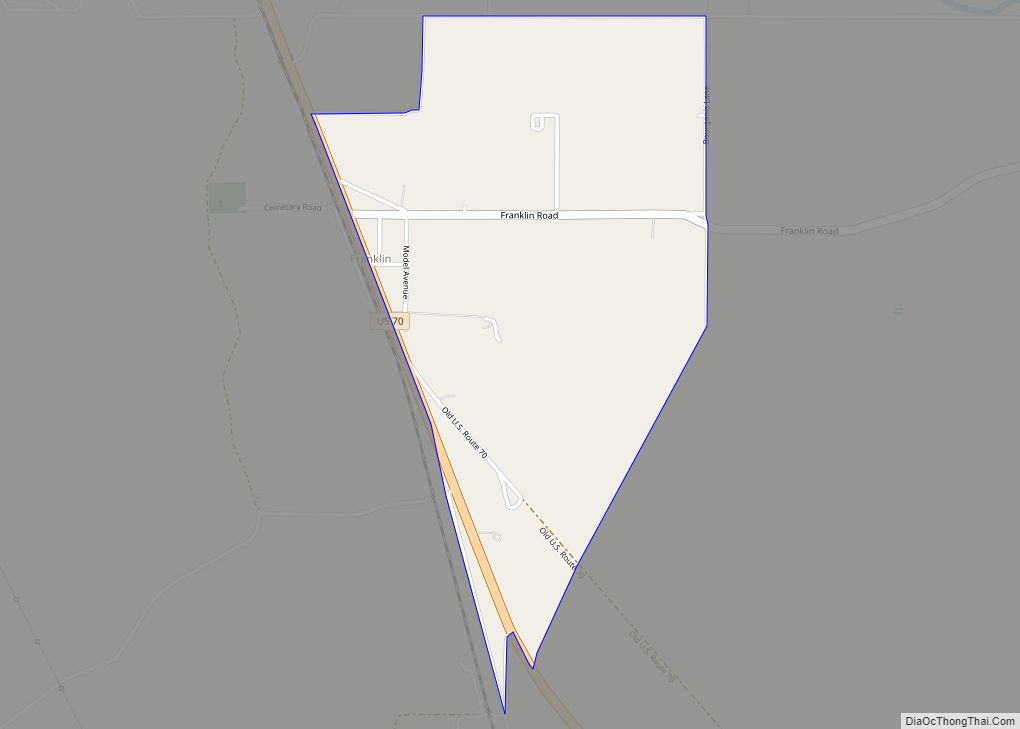
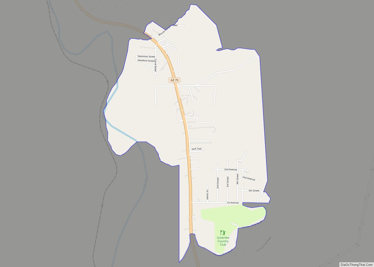
Franklin is an unincorporated community and census-designated place in Greenlee County, Arizona, United States. As of the 2010 census it had a population of 92. It is located in southern Greenlee County along U.S. Route 70, 3 miles (4.8 km) west of the border with New Mexico, 3 miles (4.8 km) south of Duncan, and 32 miles (51 km) south of Clifton. Residents of Franklin are zoned to Duncan public schools, such ase the nearby community of York as well as Virden, New Mexico. Many residents work for the Morenci Mine, owned by Freeport-McMoRan in Morenci.
| Name: | Franklin CDP |
|---|---|
| LSAD Code: | 57 |
| LSAD Description: | CDP (suffix) |
| State: | Arizona |
| County: | Greenlee County |
| Elevation: | 3,730 ft (1,140 m) |
| Total Area: | 1.00 sq mi (2.59 km²) |
| Land Area: | 1.00 sq mi (2.59 km²) |
| Water Area: | 0.00 sq mi (0.00 km²) |
| Total Population: | 75 |
| Population Density: | 74.85/sq mi (28.90/km²) |
| ZIP code: | 85534 |
| Area code: | 928 |
| FIPS code: | 0425650 |
| GNISfeature ID: | 2582787 |
Online Interactive Map
Click on ![]() to view map in "full screen" mode.
to view map in "full screen" mode.
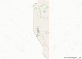
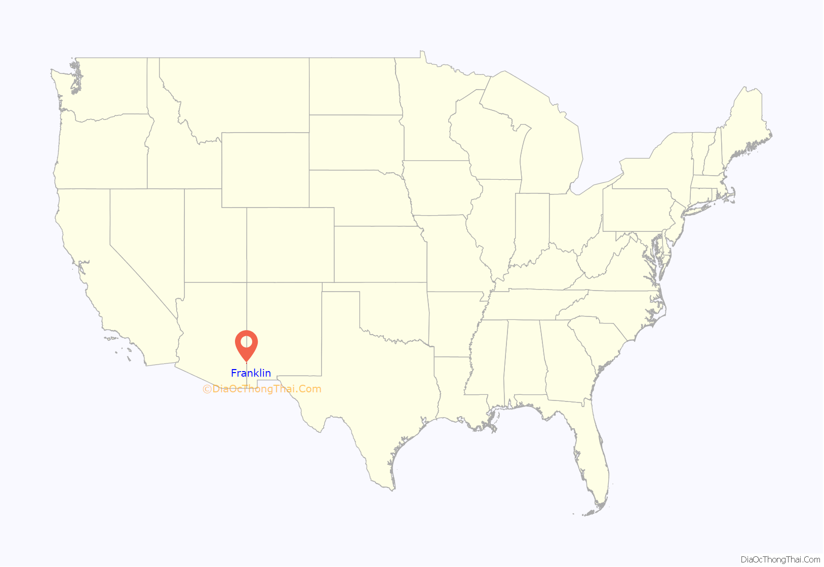
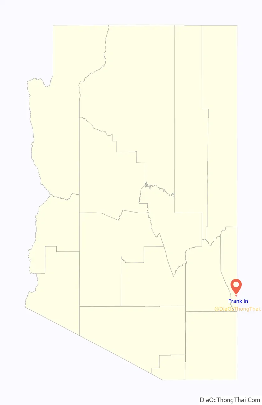
Franklin location map. Where is Franklin CDP?
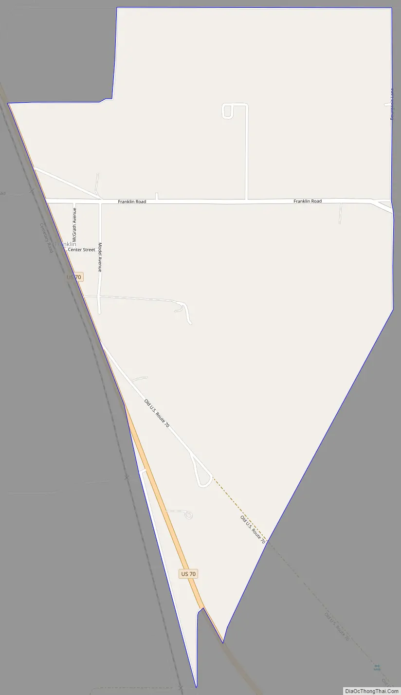
Franklin Road Map
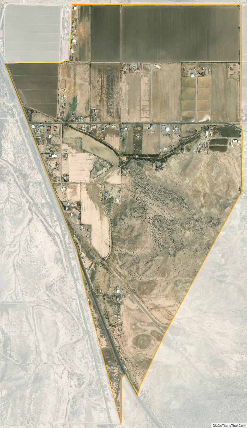
Franklin city Satellite Map
See also
Map of Arizona State and its subdivision: Map of other states:- Alabama
- Alaska
- Arizona
- Arkansas
- California
- Colorado
- Connecticut
- Delaware
- District of Columbia
- Florida
- Georgia
- Hawaii
- Idaho
- Illinois
- Indiana
- Iowa
- Kansas
- Kentucky
- Louisiana
- Maine
- Maryland
- Massachusetts
- Michigan
- Minnesota
- Mississippi
- Missouri
- Montana
- Nebraska
- Nevada
- New Hampshire
- New Jersey
- New Mexico
- New York
- North Carolina
- North Dakota
- Ohio
- Oklahoma
- Oregon
- Pennsylvania
- Rhode Island
- South Carolina
- South Dakota
- Tennessee
- Texas
- Utah
- Vermont
- Virginia
- Washington
- West Virginia
- Wisconsin
- Wyoming