Green Valley is an unincorporated community and census-designated place (CDP) in Pima County, Arizona, United States. The population was 22,616 at the 2020 census.
| Name: | Green Valley CDP |
|---|---|
| LSAD Code: | 57 |
| LSAD Description: | CDP (suffix) |
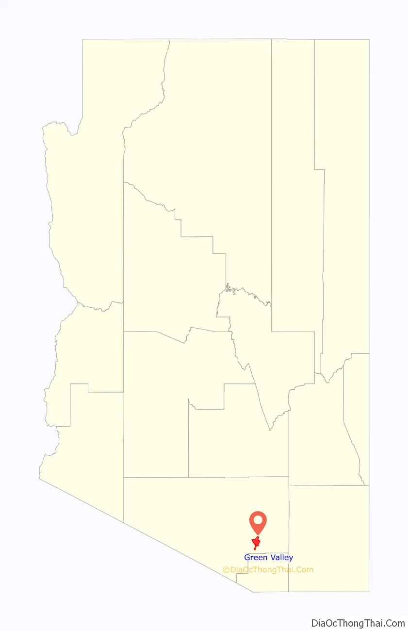
| State: | Arizona |
| County: | Pima County |
| Elevation: | 2,980 ft (908 m) |
| Total Area: | 19.75 sq mi (51.14 km²) |
| Land Area: | 19.73 sq mi (51.10 km²) |
| Water Area: | 0.01 sq mi (0.04 km²) |
| Total Population: | 22,616 |
| Population Density: | 1,146.27/sq mi (442.59/km²) |
| ZIP code: | 85614, 85622 |
| Area code: | 520 |
| FIPS code: | 0429710 |
| GNISfeature ID: | 37327 |
Online Interactive Map
Click on ![]() to view map in "full screen" mode.
to view map in "full screen" mode.
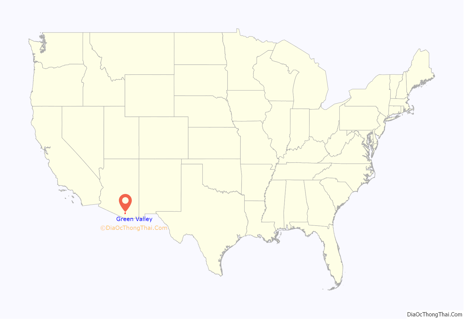
Green Valley location map. Where is Green Valley CDP?
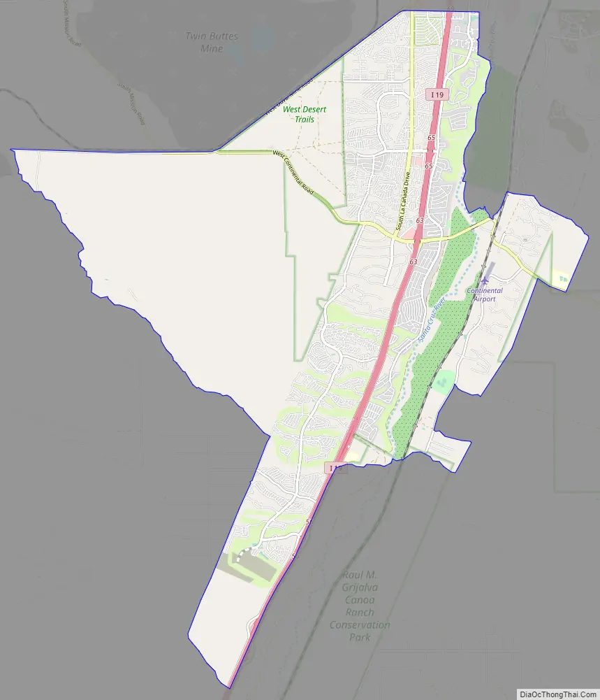
Green Valley Road Map
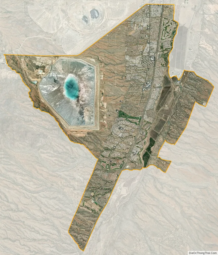
Green Valley city Satellite Map
Geography
Green Valley is located along the western side of the Santa Cruz River at 31°51′N 111°0′W / 31.850°N 111.000°W / 31.850; -111.000 (31.8556, -111.0001). Continental is to the east of Green Valley, on the other side of the river.
According to the United States Census Bureau, the CDP has a total area of 26.3 square miles (68 km), of which 26.2 square miles (68 km) is land and 0.04 square miles (0.10 km) (0.08%) is water.
Green Valley is twenty miles (32 km) south of Tucson and 40 miles (64 km) north of Nogales, Sonora, Mexico. Surrounded by copper mines, and near the cycling, hiking and birding areas of the Santa Rita Mountains, Green Valley is an unincorporated retirement community composed of 59 Homeowner Associations.
The largest of the mines are the Sierrita Mine owned by Freeport-McMoRan and the Mission Mine of ASARCO. Compared to other mines in Arizona the two mines are large; Sierrita is low-grade.
Climate
Green Valley has a borderline hot semi-arid/hot desert climate (Köppen BSh/BWh) with three seasons: a warm to mild winter with chilly nights from October through March; a hot, extremely dry summer season from April to late June; and a hot, relatively humid monsoon season from July through September. Outside monsoon season, rainfall is uniformly scarce, having exceeded 4.0 inches or 100 millimetres only in October 2000 amongst other months. The wettest month on record has been July 1990 with 10.43 inches or 264.9 millimetres, of which 3.22 inches or 81.8 millimetres fell on July 15. The wettest calendar year has been 1993 with 22.00 inches or 558.8 millimetres while the driest since 1988 has been 1997 with 9.90 inches or 251.5 millimetres.
Temperatures are uniformly hot during the summer and monsoon seasons, with 90 °F or 32.2 °C exceeded on 154 days during an average year, and 77 nights failing to fall below 70 °F or 21.1 °C, including every night during August 2011. Frosts occur 37 nights per winter on average, and daytime highs fail to top 50 °F or 10 °C on nine days.
See also
Map of Arizona State and its subdivision: Map of other states:- Alabama
- Alaska
- Arizona
- Arkansas
- California
- Colorado
- Connecticut
- Delaware
- District of Columbia
- Florida
- Georgia
- Hawaii
- Idaho
- Illinois
- Indiana
- Iowa
- Kansas
- Kentucky
- Louisiana
- Maine
- Maryland
- Massachusetts
- Michigan
- Minnesota
- Mississippi
- Missouri
- Montana
- Nebraska
- Nevada
- New Hampshire
- New Jersey
- New Mexico
- New York
- North Carolina
- North Dakota
- Ohio
- Oklahoma
- Oregon
- Pennsylvania
- Rhode Island
- South Carolina
- South Dakota
- Tennessee
- Texas
- Utah
- Vermont
- Virginia
- Washington
- West Virginia
- Wisconsin
- Wyoming


