Haigler Creek is an unincorporated community and census-designated place (CDP) in northern Gila County, Arizona, United States. It lies at an elevation of 5,240 feet (1,597 m) and is surrounded by the Tonto National Forest. As of the 2020 census, Haigler Creek had a population of 39 people.
| Name: | Haigler Creek CDP |
|---|---|
| LSAD Code: | 57 |
| LSAD Description: | CDP (suffix) |
| State: | Arizona |
| County: | Gila County |
| Elevation: | 5,240 ft (1,600 m) |
| Total Area: | 1.61 sq mi (4.17 km²) |
| Land Area: | 1.61 sq mi (4.17 km²) |
| Water Area: | 0.00 sq mi (0.00 km²) |
| Total Population: | 39 |
| Population Density: | 21.73/sq mi (8.39/km²) |
| Area code: | 928 |
| FIPS code: | 0430840 |
| GNISfeature ID: | 2582795 |
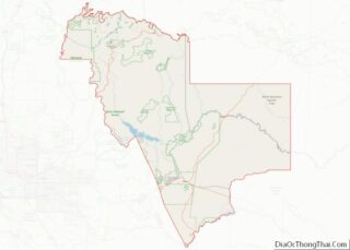
Online Interactive Map
Click on ![]() to view map in "full screen" mode.
to view map in "full screen" mode.
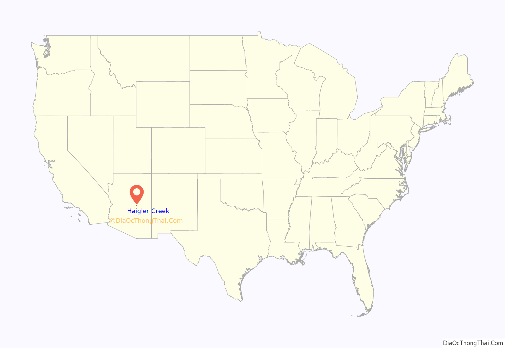
Haigler Creek location map. Where is Haigler Creek CDP?
History
Haigler Creek is named after the pioneer settler Jacob Russel “Jake” Haigler who owned a cattle ranch along the creek. He was born February 7, 1836, in Franklin County, Missouri. He made his way west, ending up in Arizona, where he started the ranch. In September 1905, during the Pleasant Valley War, Jake was traversing rugged wilderness near the creek when he was thrown from his mule and suffered from head trauma. He was found unconscious and taken to the nearby town of Young, Arizona to seek medical help. He died in Young on September 29, 1905, at the age of 69. Since then, the area has been named in recognition of him.
Haigler Creek Road Map
Haigler Creek city Satellite Map
Geography
Haigler Creek is a CDP that sits at and elevation of 5,240 feet (1,597 m) located in northern Gila County in Arizona, within the Tonto National Forest. It lies 11 miles (18 km) south of Arizona State Route 260 via East Colcord Road and a National Forest road. Payson is a total of 36 miles (58 km) west of Haigler Creek by road. The small ranch town of Young, Arizona is 12 miles (19 km) south of Haigler Creek and can be accessed via National Forest road. According to the United States Census Bureau, the CDP has a total area of 1.6 square miles (4.2 km), all land. Due to the lack of light pollution this area is great for star gazing.
Haigler Creek itself is a southwest-flowing tributary of Tonto Creek, part of the Salt River watershed that flows through the center of the community. It originates just below the Mogollon Rim in east central Arizona via a perennial spring. Rainwater and snow melt also help to keep the creek flowing during the dry months.
There is a diverse abundance of flora and fauna in the area. Trees like the Arizona Sycamore, Cottonwood, Boxelder, Willow, and Ash are found in the riparian habitats along the creek. Ponderosa Pine, Juniper, Pinyon Pine, and Oak dot the surrounding landscape. Also a variety of wildflowers can be seen in the meadows and near the creek during the warm months. The creek is stocked with Rainbow trout and Brown trout by the Arizona Game and Fish Department and is also home to many native fish species. Haigler Creek is also an important area for reptiles, amphibians, and birds. The creek is home to a variety of mammals including Elk, Mule deer, Black Bear, Javelina, Grey Fox, Mountain Lion, and Coyote. Cattle are also present. Viewing wildlife in the area is best during the morning and evening hours.
See also
Map of Arizona State and its subdivision: Map of other states:- Alabama
- Alaska
- Arizona
- Arkansas
- California
- Colorado
- Connecticut
- Delaware
- District of Columbia
- Florida
- Georgia
- Hawaii
- Idaho
- Illinois
- Indiana
- Iowa
- Kansas
- Kentucky
- Louisiana
- Maine
- Maryland
- Massachusetts
- Michigan
- Minnesota
- Mississippi
- Missouri
- Montana
- Nebraska
- Nevada
- New Hampshire
- New Jersey
- New Mexico
- New York
- North Carolina
- North Dakota
- Ohio
- Oklahoma
- Oregon
- Pennsylvania
- Rhode Island
- South Carolina
- South Dakota
- Tennessee
- Texas
- Utah
- Vermont
- Virginia
- Washington
- West Virginia
- Wisconsin
- Wyoming
