Kayenta (Navajo: Tó Dínéeshzheeʼ) is a U.S. town which is part of the Navajo Nation and is in Navajo County, Arizona, United States. Established November 13, 1986, the Kayenta Township is the only “township” existing under the laws of the Navajo Nation, making it unique in this way.
The population was 5,189 at the 2010 census. Kayenta is located 25 miles (40 km) south of Monument Valley and contains a number of hotels and motels which serve visitors to Monument Valley. Like other places on the Navajo Nation, it is illegal to serve alcohol. Arizona does not observe Daylight Time; however, the Navajo reservation does.
Kayenta Township is the only municipal-style government on the Navajo Nation. It is regarded as a political sub-division of the Navajo Nation. It is managed by a five-member elected town board, which hires the township manager.
Kayenta is the name for the Chapter, as well as the township. Kayenta Chapter (a political division within the Navajo Nation that is analogous to a county within a state) encompasses land in both Utah and Arizona. Thus, the Navajo Nation’s census figures for Kayenta Chapter are significantly different from those of Kayenta proper.
| Name: | Kayenta CDP |
|---|---|
| LSAD Code: | 57 |
| LSAD Description: | CDP (suffix) |
| State: | Arizona |
| County: | Navajo County |
| Elevation: | 5,640 ft (1,720 m) |
| Total Area: | 13.24 sq mi (34.28 km²) |
| Land Area: | 13.17 sq mi (34.12 km²) |
| Water Area: | 0.06 sq mi (0.16 km²) |
| Total Population: | 4,670 |
| Population Density: | 354.54/sq mi (136.89/km²) |
| ZIP code: | 86033 |
| Area code: | 928 |
| FIPS code: | 0436990 |
| GNISfeature ID: | 6627 |
Online Interactive Map
Click on ![]() to view map in "full screen" mode.
to view map in "full screen" mode.
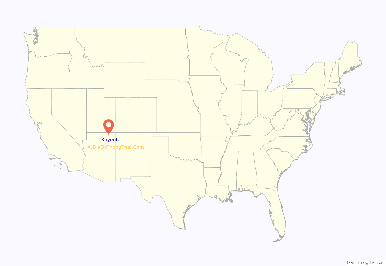
Kayenta location map. Where is Kayenta CDP?
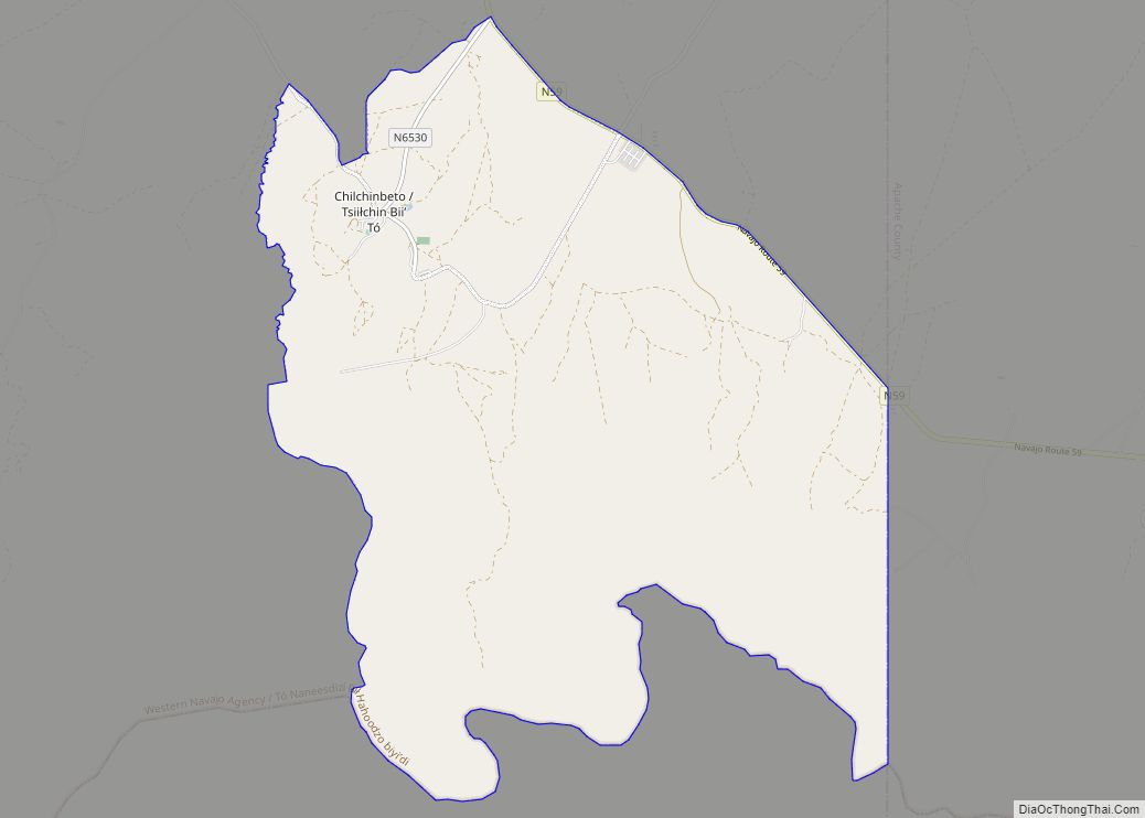
Kayenta Road Map
Kayenta city Satellite Map
Geography
Kayenta is located at 36°42′43″N 110°15′00″W / 36.71194°N 110.25000°W / 36.71194; -110.25000 (36.7118, -110.2505), at an elevation of 5,700 feet, (1,738 m).
According to the United States Census Bureau, the CDP has a total area of 13.2 square miles (34 km), all land.
Climate
According to the Köppen Climate Classification system, Kayenta has a semi-arid climate, abbreviated “BSk” on climate maps.
See also
Map of Arizona State and its subdivision: Map of other states:- Alabama
- Alaska
- Arizona
- Arkansas
- California
- Colorado
- Connecticut
- Delaware
- District of Columbia
- Florida
- Georgia
- Hawaii
- Idaho
- Illinois
- Indiana
- Iowa
- Kansas
- Kentucky
- Louisiana
- Maine
- Maryland
- Massachusetts
- Michigan
- Minnesota
- Mississippi
- Missouri
- Montana
- Nebraska
- Nevada
- New Hampshire
- New Jersey
- New Mexico
- New York
- North Carolina
- North Dakota
- Ohio
- Oklahoma
- Oregon
- Pennsylvania
- Rhode Island
- South Carolina
- South Dakota
- Tennessee
- Texas
- Utah
- Vermont
- Virginia
- Washington
- West Virginia
- Wisconsin
- Wyoming
