Keams Canyon (Hopi: Pongsikya or Pongsikvi; Navajo: Lókʼaaʼdeeshjin) is a census-designated place (CDP) in Navajo County, Arizona, United States. The population was 304 at the 2010 census.
Pongsikya is a narrow box canyon that is named after a plant of edible greens that survived along the seasonal stream that drains from Antelope Mesa and flows through the three mile long canyon. Here William Keam, and then his cousin Thomas Keam, operated a trading post during the last quarter of the nineteenth century. They served the Navajo Indians and opened the door to commercial trade for the Hopi Indians. The nearest trading post was some fifty miles away and Keam’s trading post was 13 miles east of the Hopi Indian’s settlements on First Mesa. With the opportunity for full year round trade nearby, the regional Indians quickly identified the canyon with the traders and the name Keams Canyon took hold.
| Name: | Keams Canyon CDP |
|---|---|
| LSAD Code: | 57 |
| LSAD Description: | CDP (suffix) |
| State: | Arizona |
| County: | Navajo County |
| Elevation: | 6,188 ft (1,886 m) |
| Total Area: | 16.65 sq mi (43.12 km²) |
| Land Area: | 16.63 sq mi (43.07 km²) |
| Water Area: | 0.02 sq mi (0.05 km²) |
| Total Population: | 265 |
| Population Density: | 15.94/sq mi (6.15/km²) |
| ZIP code: | 86034 |
| Area code: | 928 |
| FIPS code: | 0437130 |
| GNISfeature ID: | 6629 |
Online Interactive Map
Click on ![]() to view map in "full screen" mode.
to view map in "full screen" mode.
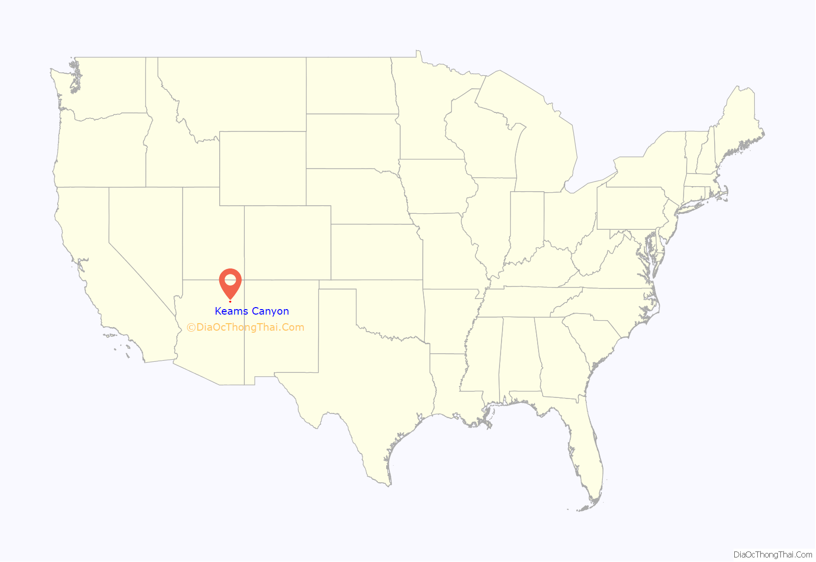
Keams Canyon location map. Where is Keams Canyon CDP?
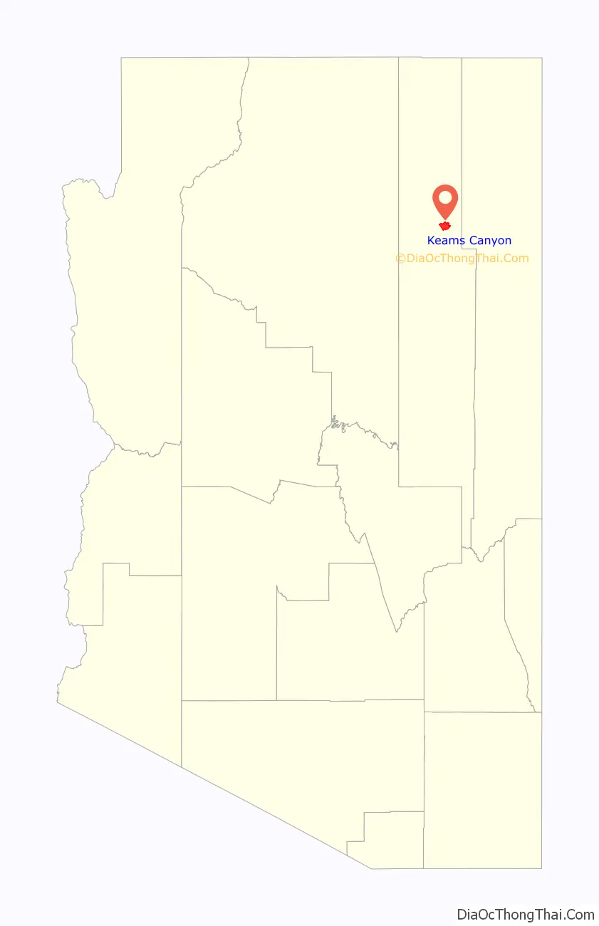
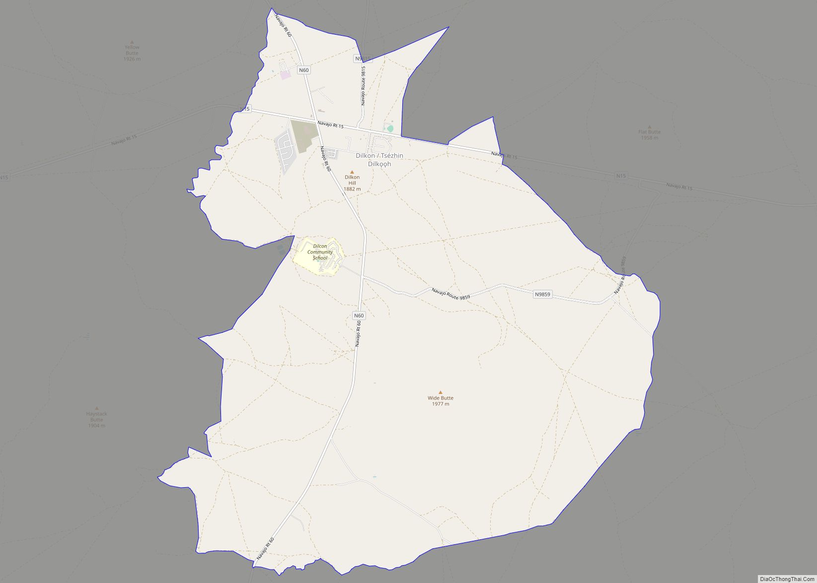
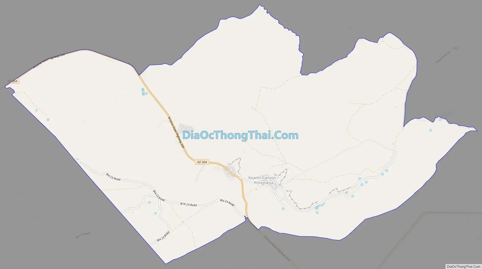
Keams Canyon Road Map
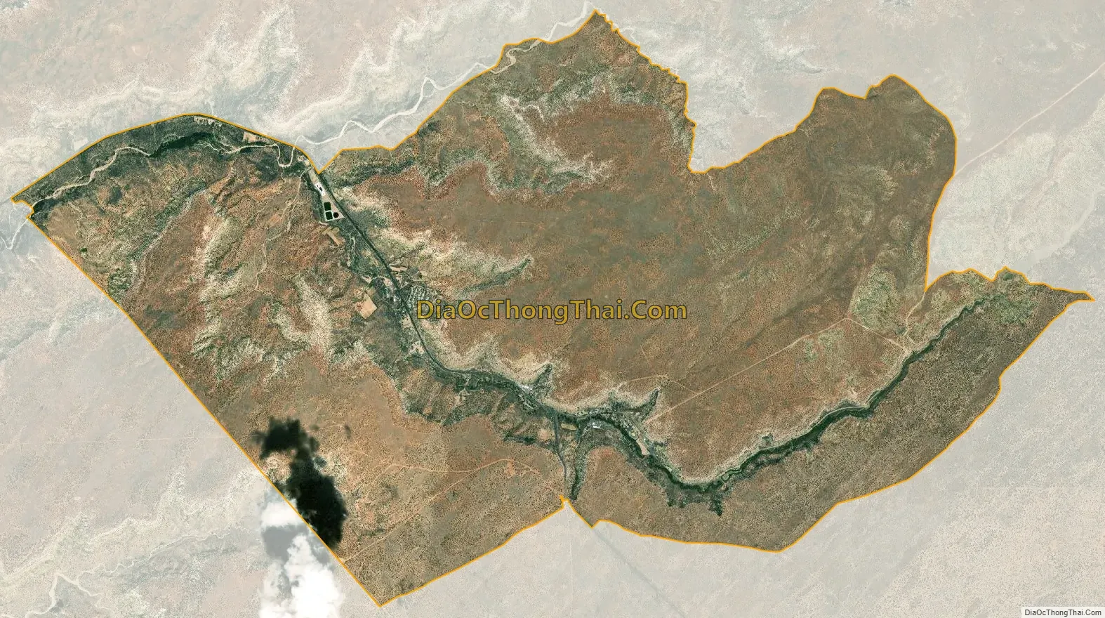
Keams Canyon city Satellite Map
Geography
Keams Canyon is located at 35°48′46″N 110°12′15″W / 35.81278°N 110.20417°W / 35.81278; -110.20417 (35.812849, -110.204154).
According to the United States Census Bureau, the CDP has a total area of 9.3 square miles (24 km), all land.
See also
Map of Arizona State and its subdivision: Map of other states:- Alabama
- Alaska
- Arizona
- Arkansas
- California
- Colorado
- Connecticut
- Delaware
- District of Columbia
- Florida
- Georgia
- Hawaii
- Idaho
- Illinois
- Indiana
- Iowa
- Kansas
- Kentucky
- Louisiana
- Maine
- Maryland
- Massachusetts
- Michigan
- Minnesota
- Mississippi
- Missouri
- Montana
- Nebraska
- Nevada
- New Hampshire
- New Jersey
- New Mexico
- New York
- North Carolina
- North Dakota
- Ohio
- Oklahoma
- Oregon
- Pennsylvania
- Rhode Island
- South Carolina
- South Dakota
- Tennessee
- Texas
- Utah
- Vermont
- Virginia
- Washington
- West Virginia
- Wisconsin
- Wyoming