Kearny is a town in Pinal County, Arizona, United States. The town was named after General Stephen Watts Kearny, who passed through the area on November 7, 1846, while leading 100 dragoons to California. According to the 2010 census, the population of the town is 1,950. The economic base of Kearny and nearby towns is the Ray mine and Hayden Smelter, both owned and operated by ASARCO.
| Name: | Kearny town |
|---|---|
| LSAD Code: | 43 |
| LSAD Description: | town (suffix) |
| State: | Arizona |
| County: | Pinal County |
| Incorporated: | 1959 |
| Elevation: | 1,860 ft (567 m) |
| Total Area: | 2.74 sq mi (7.09 km²) |
| Land Area: | 2.70 sq mi (6.98 km²) |
| Water Area: | 0.04 sq mi (0.11 km²) |
| Total Population: | 1,741 |
| Population Density: | 645.77/sq mi (249.35/km²) |
| ZIP code: | 85137 |
| Area code: | 520 |
| FIPS code: | 0437200 |
| GNISfeature ID: | 6633 |
Online Interactive Map
Click on ![]() to view map in "full screen" mode.
to view map in "full screen" mode.
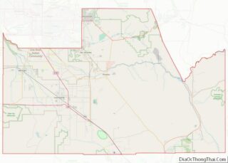
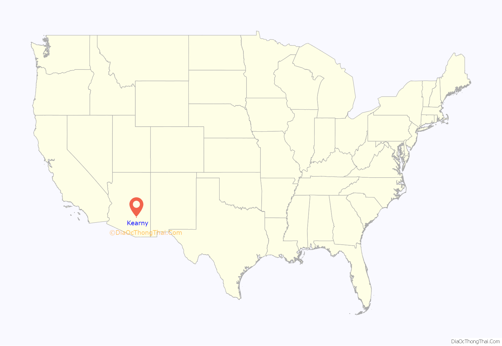
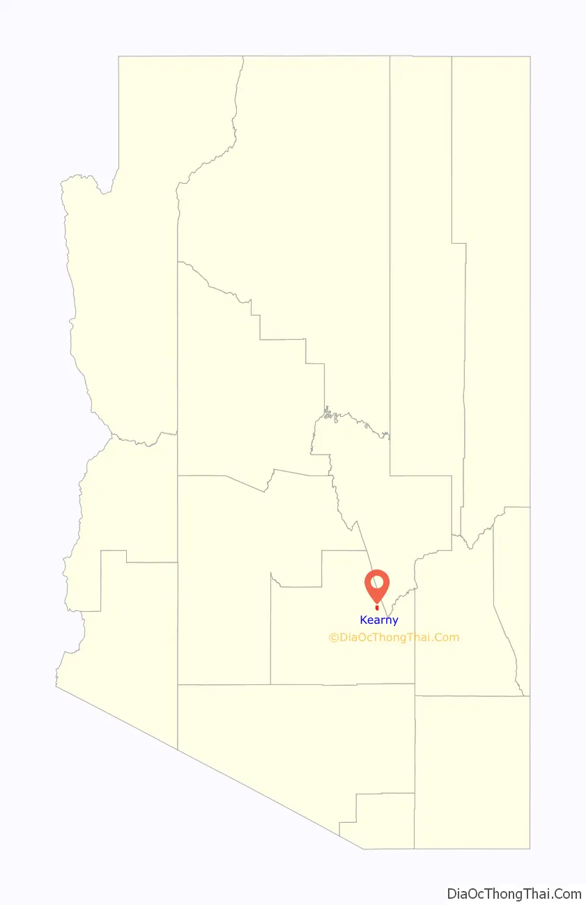
Kearny location map. Where is Kearny town?
History
Kearny was built by the Kennecott Mining Company in 1958 as a planned community to accommodate the populations of nearby Ray, Sonora and Barcelona, which were about to be swallowed by Kennecott’s expanding open-pit copper mine. While many houses in the town were newly built, some mine employees had their homes moved down the road. Kearny was officially incorporated in 1959.
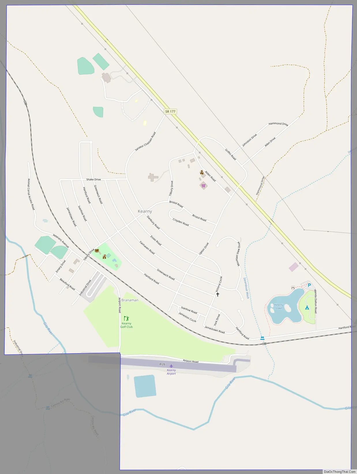
Kearny Road Map
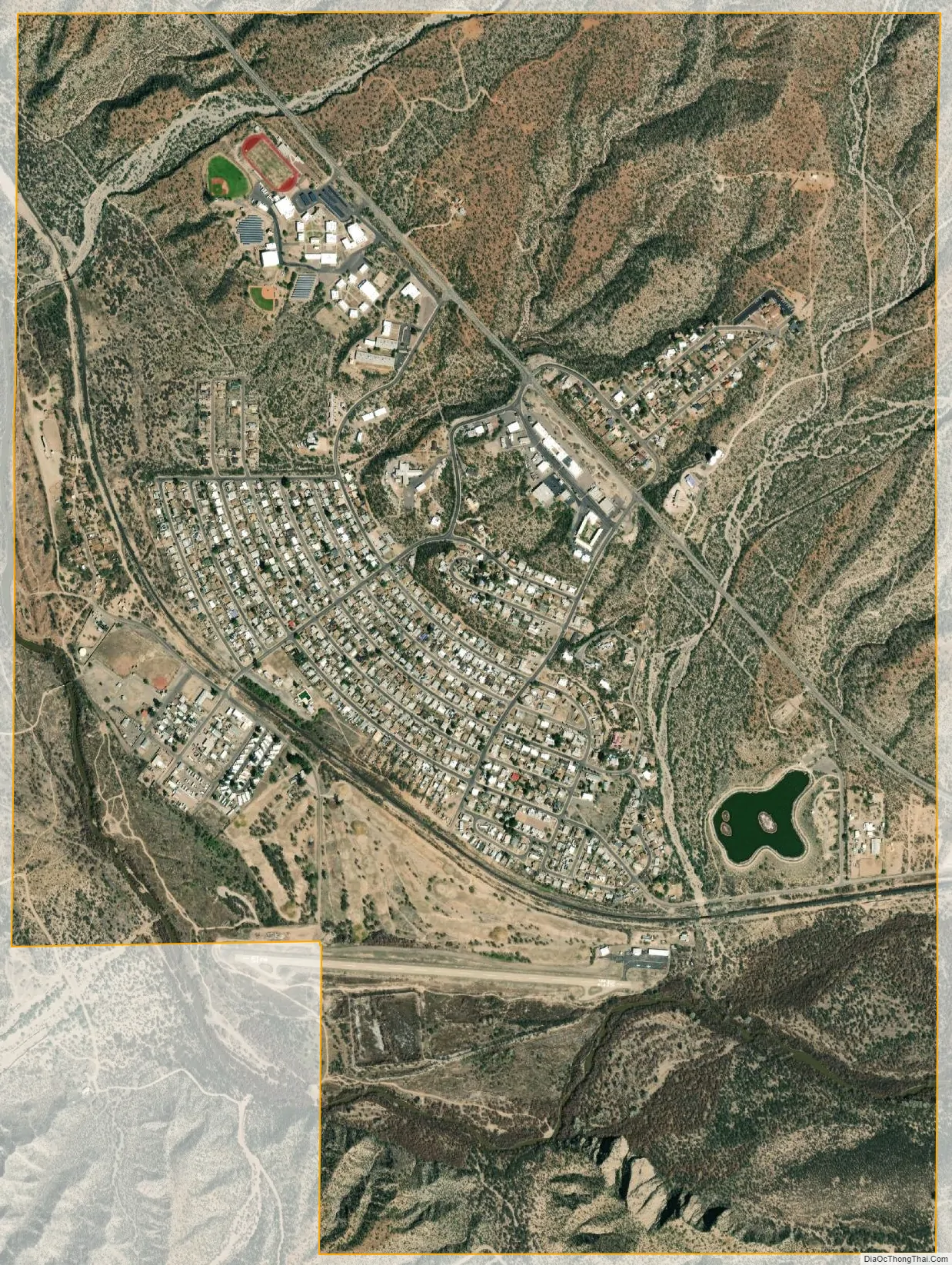
Kearny city Satellite Map
Geography
Kearny is located at 33°3′15″N 110°54′32″W / 33.05417°N 110.90889°W / 33.05417; -110.90889 (33.054160, -110.908857).
The town sits near the Gila River in the Copper Basin area along with its sister cities, Hayden and Winkelman. According to the United States Census Bureau, the town has a total area of 2.8 square miles (7.3 km), all land.
Climate
According to the Köppen Climate Classification system, Kearny has a warm-summer Mediterranean climate, abbreviated “Csa” on climate maps.
See also
Map of Arizona State and its subdivision: Map of other states:- Alabama
- Alaska
- Arizona
- Arkansas
- California
- Colorado
- Connecticut
- Delaware
- District of Columbia
- Florida
- Georgia
- Hawaii
- Idaho
- Illinois
- Indiana
- Iowa
- Kansas
- Kentucky
- Louisiana
- Maine
- Maryland
- Massachusetts
- Michigan
- Minnesota
- Mississippi
- Missouri
- Montana
- Nebraska
- Nevada
- New Hampshire
- New Jersey
- New Mexico
- New York
- North Carolina
- North Dakota
- Ohio
- Oklahoma
- Oregon
- Pennsylvania
- Rhode Island
- South Carolina
- South Dakota
- Tennessee
- Texas
- Utah
- Vermont
- Virginia
- Washington
- West Virginia
- Wisconsin
- Wyoming