Klagetoh is a census-designated place (CDP) in Apache County, Arizona, United States. The population was 242 at the 2010 census.
| Name: | Klagetoh CDP |
|---|---|
| LSAD Code: | 57 |
| LSAD Description: | CDP (suffix) |
| State: | Arizona |
| County: | Apache County |
| Elevation: | 6,424 ft (1,958 m) |
| Total Area: | 0.34 sq mi (0.87 km²) |
| Land Area: | 0.34 sq mi (0.87 km²) |
| Water Area: | 0.00 sq mi (0.00 km²) |
| Total Population: | 181 |
| Population Density: | 540.30/sq mi (208.72/km²) |
| ZIP code: | 86505 |
| Area code: | 928 |
| FIPS code: | 0438250 |
| GNISfeature ID: | 6730 |
Online Interactive Map
Click on ![]() to view map in "full screen" mode.
to view map in "full screen" mode.
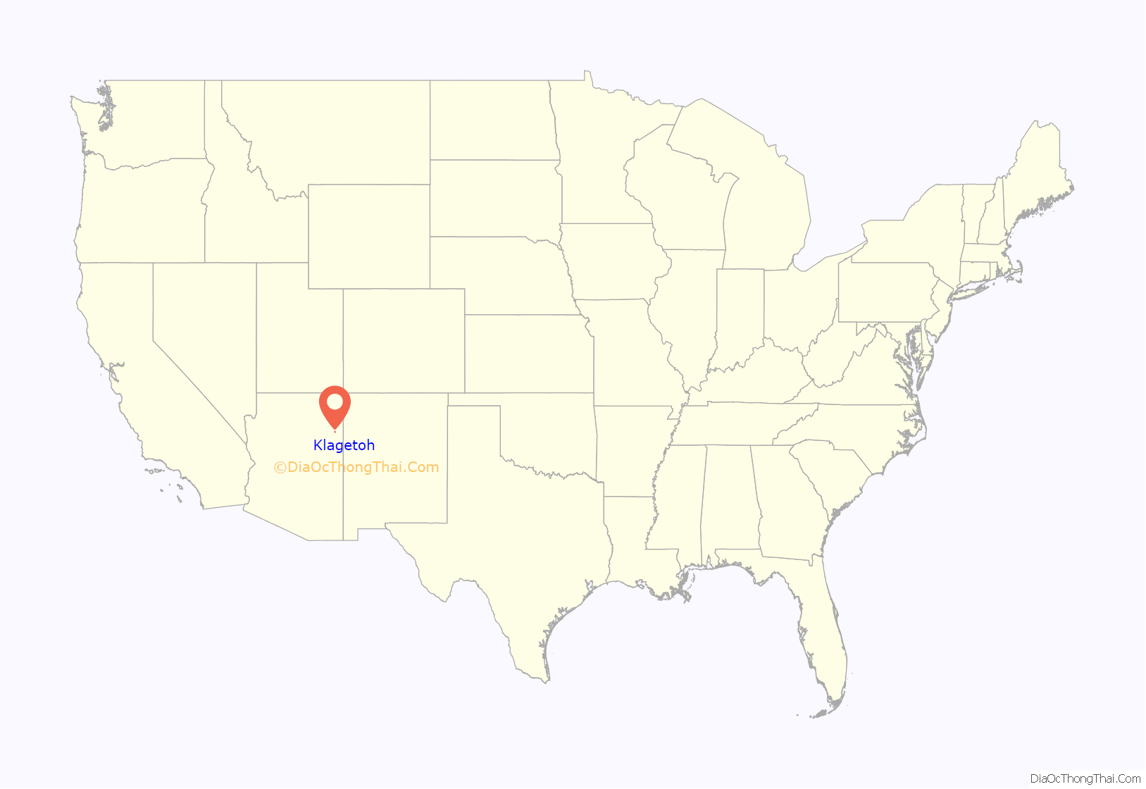
Klagetoh location map. Where is Klagetoh CDP?
History
Missionaries transcribed “Łeeyi’ tó” as Klagetoh. “Łeeyi’ tó” translates as underground water which is now an abandoned well. It was the first well to be developed and used by the community. The abandoned well is located approximately ⅛ of a mile east of the Red Mesa Store.
The people who pioneered Klagetoh itself are not remembered, at least by name. The Anasazi had a thriving settlement here once, perhaps with almost as many residents as the 6,000-person chapter boasts today.
Klagetoh Road Map
Klagetoh city Satellite Map
Geography
Klagetoh is located at 35°30′07″N 109°31′41″W / 35.50194°N 109.52806°W / 35.50194; -109.52806 along U.S. Route 191, approximately 14 miles (23 km) south of Ganado and 23 miles (37 km) north of Chambers.
According to the United States Census Bureau, the CDP has a total area of 0.34 square miles (0.87 km), all land.
Climate
According to the Köppen Climate Classification system, Klagetoh has a semi-arid climate, abbreviated “BSk” on climate maps. Temperatures range from an average maximum temperature in the low to mid-90s Fahrenheit (°F) during the summer months (June–August) to an average minimum temperature in the high teens to low 20s during winter months (December–January). Total average annual precipitation in the vicinity of the study area is about 6.5 inches, with the majority typically occurring during July, August, and September. The total average annual snowfall is a little over 5 inches, with the majority typically occurring during December (Western Regional Climate Center [WRCC] 2011).
See also
Map of Arizona State and its subdivision: Map of other states:- Alabama
- Alaska
- Arizona
- Arkansas
- California
- Colorado
- Connecticut
- Delaware
- District of Columbia
- Florida
- Georgia
- Hawaii
- Idaho
- Illinois
- Indiana
- Iowa
- Kansas
- Kentucky
- Louisiana
- Maine
- Maryland
- Massachusetts
- Michigan
- Minnesota
- Mississippi
- Missouri
- Montana
- Nebraska
- Nevada
- New Hampshire
- New Jersey
- New Mexico
- New York
- North Carolina
- North Dakota
- Ohio
- Oklahoma
- Oregon
- Pennsylvania
- Rhode Island
- South Carolina
- South Dakota
- Tennessee
- Texas
- Utah
- Vermont
- Virginia
- Washington
- West Virginia
- Wisconsin
- Wyoming
