Kohls Ranch is a census-designated place (CDP) in Gila County, Arizona, United States. The population was 46 at the 2010 census.
| Name: | Kohls Ranch CDP |
|---|---|
| LSAD Code: | 57 |
| LSAD Description: | CDP (suffix) |
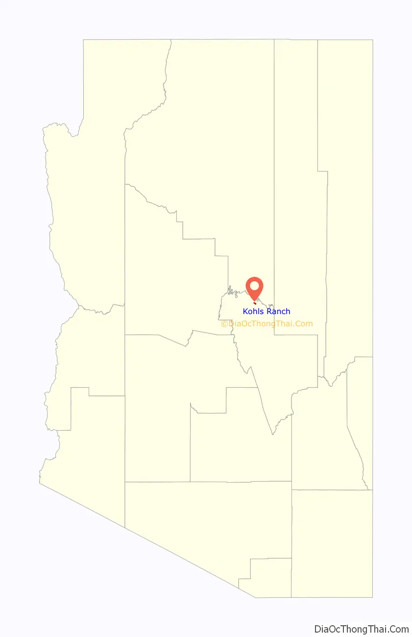
| State: | Arizona |
| County: | Gila County |
| Elevation: | 5,340 ft (1,630 m) |
| Total Area: | 1.18 sq mi (3.05 km²) |
| Land Area: | 1.18 sq mi (3.05 km²) |
| Water Area: | 0.00 sq mi (0.00 km²) |
| Total Population: | 30 |
| Population Density: | 25.51/sq mi (9.85/km²) |
| ZIP code: | 85541 |
| Area code: | 928 |
| FIPS code: | 0438600 |
| GNISfeature ID: | 30808 |
Online Interactive Map
Click on ![]() to view map in "full screen" mode.
to view map in "full screen" mode.
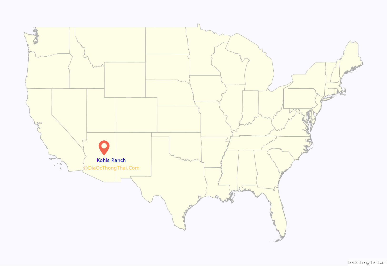
Kohls Ranch location map. Where is Kohls Ranch CDP?
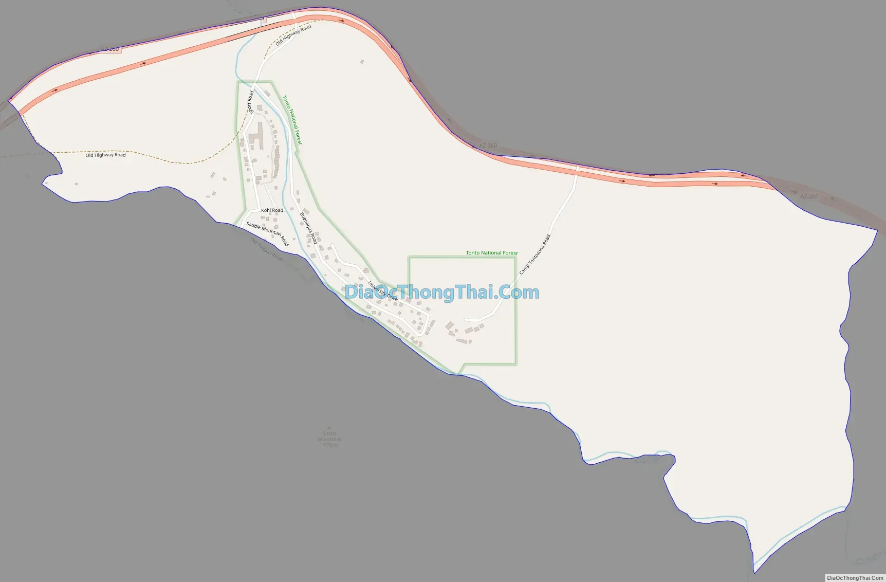
Kohls Ranch Road Map
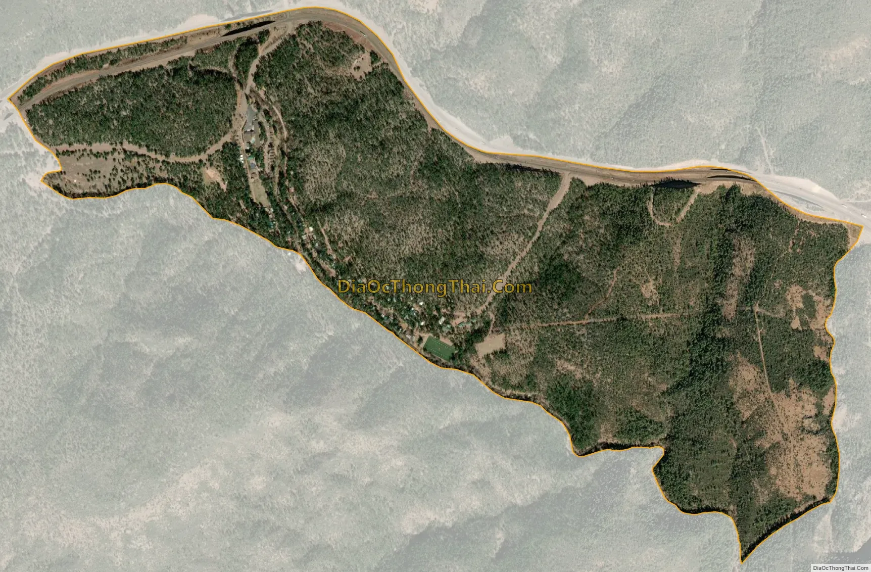
Kohls Ranch city Satellite Map
Geography
The CDP is located in northern Gila County at the southern foot of the Mogollon Rim, in the valley of the upper reaches of Tonto Creek. Arizona State Route 260 forms the northern edge of the CDP, running west 16 miles (26 km) to Payson and east 73 miles (117 km) to Show Low. According to the United States Census Bureau, the Kohls Ranch CDP has a total area of 1.17 square miles (3.03 km), all land.
In the eastern part of the CDP is Tonto Creek Camp (formerly Camp Tontozona, the training camp for the Arizona State University football team). There are several cabins and a bar in the vicinity, as well as two Tonto National Forest campgrounds. Kohl’s Ranch Lodge is a resort operated by Diamond Resorts.
See also
Map of Arizona State and its subdivision: Map of other states:- Alabama
- Alaska
- Arizona
- Arkansas
- California
- Colorado
- Connecticut
- Delaware
- District of Columbia
- Florida
- Georgia
- Hawaii
- Idaho
- Illinois
- Indiana
- Iowa
- Kansas
- Kentucky
- Louisiana
- Maine
- Maryland
- Massachusetts
- Michigan
- Minnesota
- Mississippi
- Missouri
- Montana
- Nebraska
- Nevada
- New Hampshire
- New Jersey
- New Mexico
- New York
- North Carolina
- North Dakota
- Ohio
- Oklahoma
- Oregon
- Pennsylvania
- Rhode Island
- South Carolina
- South Dakota
- Tennessee
- Texas
- Utah
- Vermont
- Virginia
- Washington
- West Virginia
- Wisconsin
- Wyoming


