Kykotsmovi Village (Hopi: Kiqötsmovi, also known as K-Town) is a census-designated place (CDP) in Navajo County, Arizona, United States, and the home of the Hopi tribal government. The Hopi Tribe is a sovereign nation located in northeastern Arizona. The population was 776 at the 2000 census. The Hopi reservation occupies part of Coconino and Navajo counties, encompasses more than 1.5 million acres, and is made up of 12 villages on three mesas. Kykotsmovi is one of the 12 villages located in third mesa. Third Mesa includes Hotvela (Hotevilla), Paaqavi (Bacavi), Munqapi (Moencopi), Kiqotsmovi (Kykotsmovi), and Orayvi (Oraibi).
| Name: | Kykotsmovi Village CDP |
|---|---|
| LSAD Code: | 57 |
| LSAD Description: | CDP (suffix) |
| State: | Arizona |
| County: | Navajo County |
| Elevation: | 5,683 ft (1,732 m) |
| Total Area: | 16.93 sq mi (43.86 km²) |
| Land Area: | 16.92 sq mi (43.82 km²) |
| Water Area: | 0.01 sq mi (0.03 km²) |
| Total Population: | 736 |
| Population Density: | 43.50/sq mi (16.79/km²) |
| ZIP code: | 86039 |
| Area code: | 928 |
| FIPS code: | 0439100 |
| GNISfeature ID: | 1866988 |
Online Interactive Map
Click on ![]() to view map in "full screen" mode.
to view map in "full screen" mode.
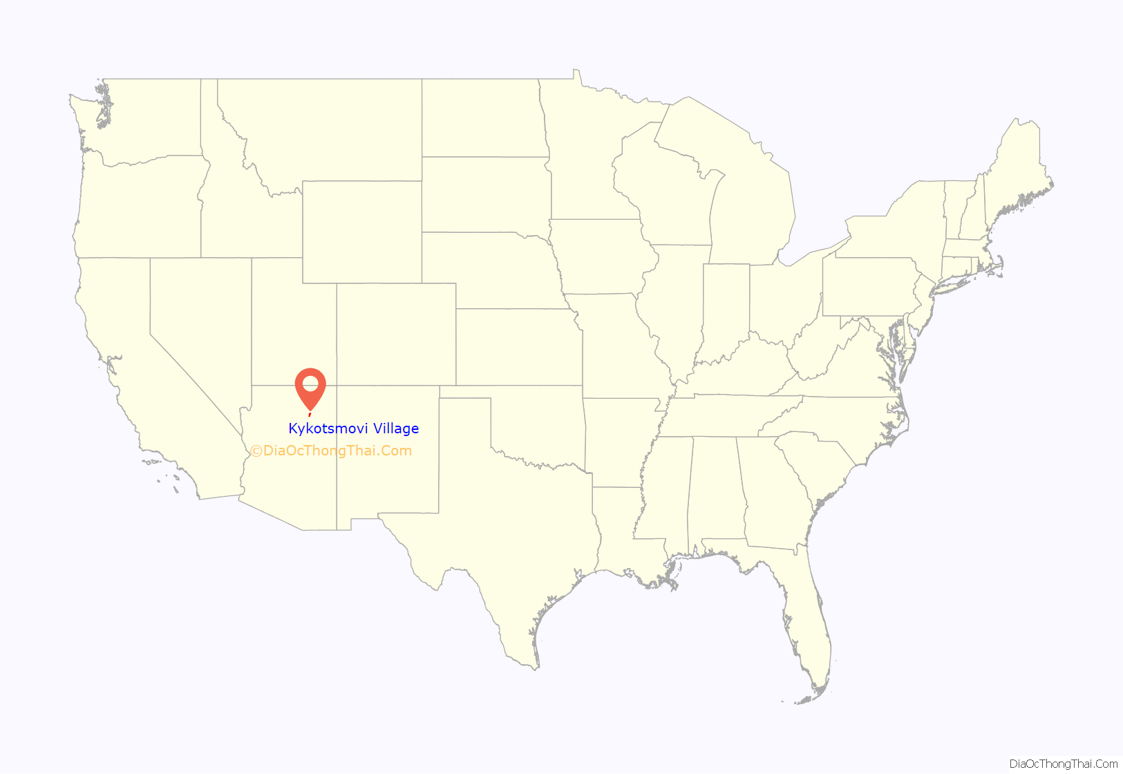
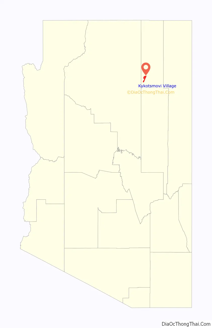
Kykotsmovi Village location map. Where is Kykotsmovi Village CDP?
History
The village was founded after an internal Hopi dispute in Oraibi in 1906 concerning how to interact with missionaries and federal agents and programs. Kykotsmovi is sometimes referred to as Oraibi or New Oraibi.National Historic Landmarks Program (NHL)Hopi Country
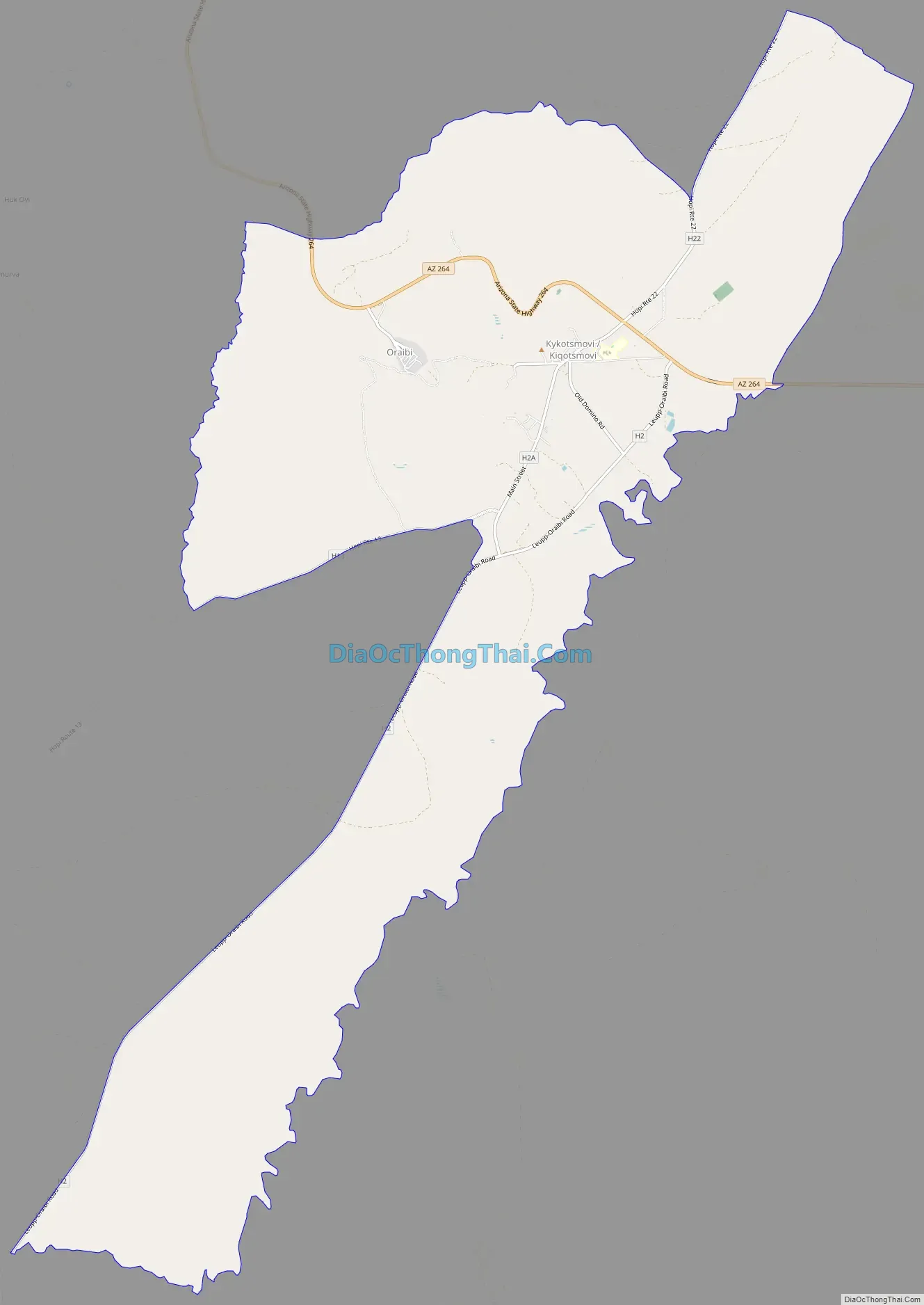
Kykotsmovi Village Road Map
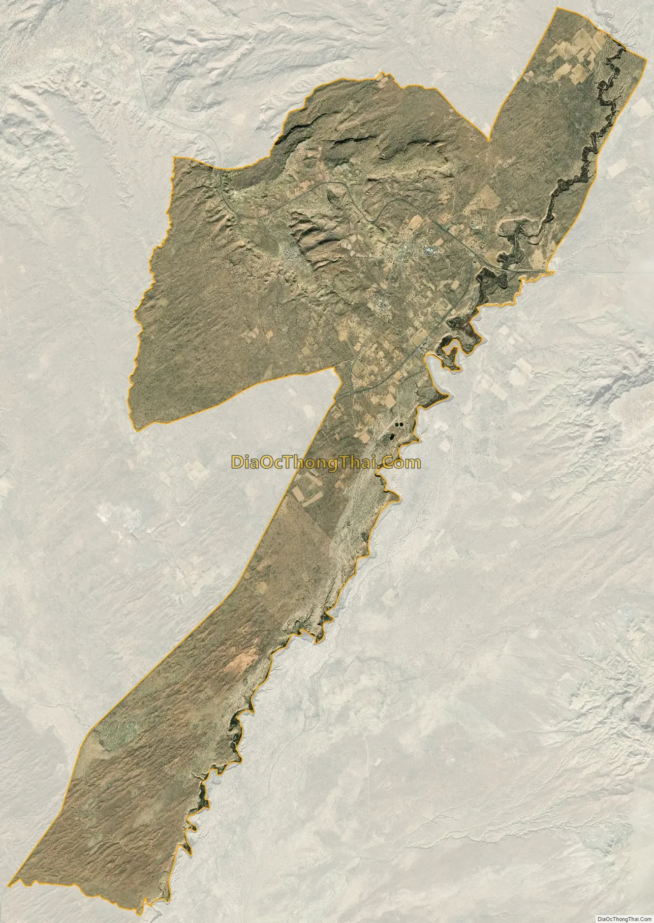
Kykotsmovi Village city Satellite Map
Geography
Kykotsmovi Village is located at 35°52′15″N 110°37′6″W / 35.87083°N 110.61833°W / 35.87083; -110.61833 (35.870755, -110.618340).
According to the United States Census Bureau, the CDP has a total area of 16.8 square miles (44 km), all land.
See also
Map of Arizona State and its subdivision: Map of other states:- Alabama
- Alaska
- Arizona
- Arkansas
- California
- Colorado
- Connecticut
- Delaware
- District of Columbia
- Florida
- Georgia
- Hawaii
- Idaho
- Illinois
- Indiana
- Iowa
- Kansas
- Kentucky
- Louisiana
- Maine
- Maryland
- Massachusetts
- Michigan
- Minnesota
- Mississippi
- Missouri
- Montana
- Nebraska
- Nevada
- New Hampshire
- New Jersey
- New Mexico
- New York
- North Carolina
- North Dakota
- Ohio
- Oklahoma
- Oregon
- Pennsylvania
- Rhode Island
- South Carolina
- South Dakota
- Tennessee
- Texas
- Utah
- Vermont
- Virginia
- Washington
- West Virginia
- Wisconsin
- Wyoming