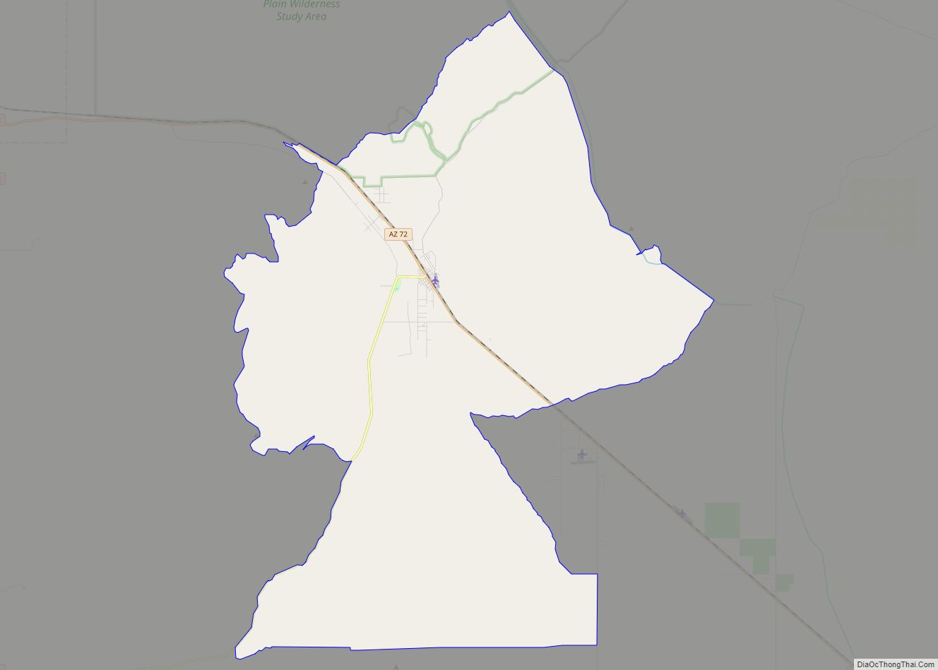
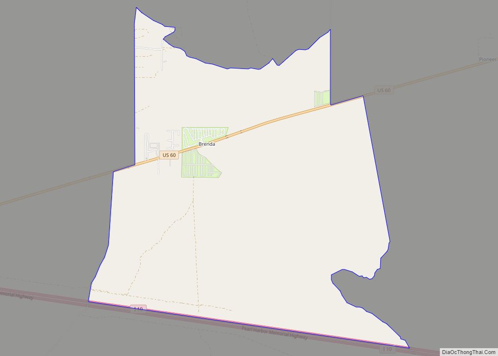
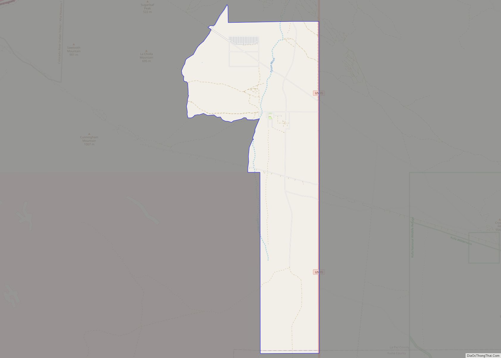
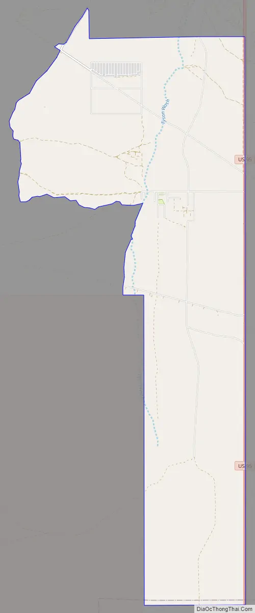
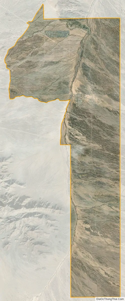
La Paz Valley is a census-designated place (CDP) in La Paz County, Arizona, United States. Its population was 368 as of the 2020 census. The community is in western La Paz County and is bordered to the north by the town of Quartzsite. To the south it is bordered by Yuma County.
U.S. Route 95 forms the eastern border of the CDP and runs north into Quartzsite and south 76 miles (122 km) to Yuma. The Town of Quartzsite operates demand response buses under the name Camel Express that provide weekday service to Quartzsite and La Paz Valley.
| Name: | La Paz Valley CDP |
|---|---|
| LSAD Code: | 57 |
| LSAD Description: | CDP (suffix) |
| State: | Arizona |
| County: | La Paz County |
| Elevation: | 1,027 ft (313 m) |
| Total Area: | 29.37 sq mi (76.06 km²) |
| Land Area: | 29.37 sq mi (76.06 km²) |
| Water Area: | 0.00 sq mi (0.00 km²) |
| Total Population: | 368 |
| Population Density: | 12.53/sq mi (4.84/km²) |
| ZIP code: | 85346 |
| Area code: | 928 |
| FIPS code: | 0440160 |
| GNISfeature ID: | 2582813 |
Online Interactive Map
Click on ![]() to view map in "full screen" mode.
to view map in "full screen" mode.
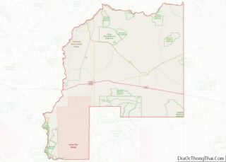
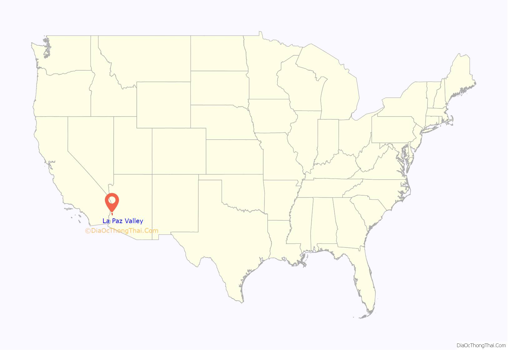
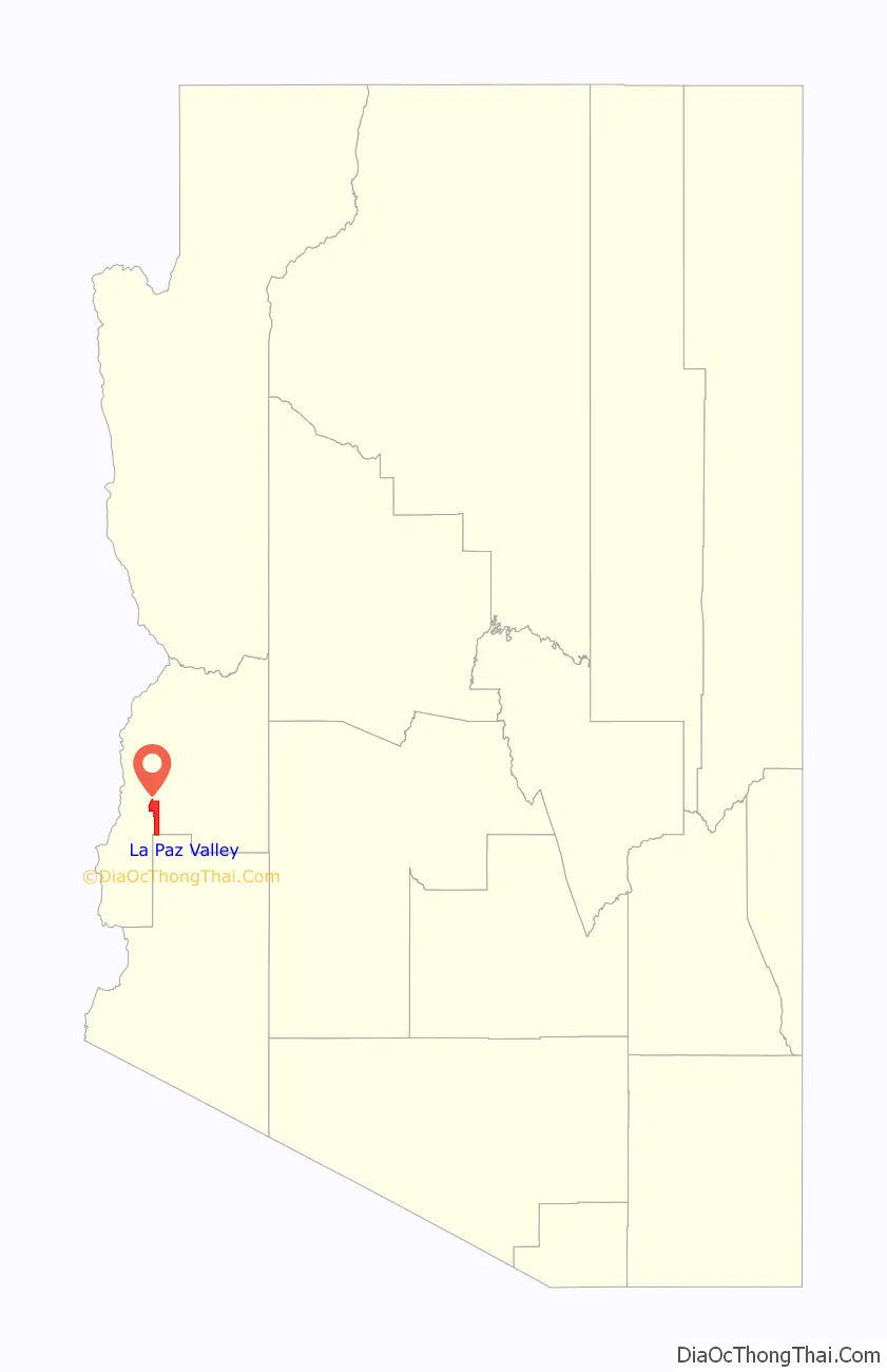
La Paz Valley location map. Where is La Paz Valley CDP?
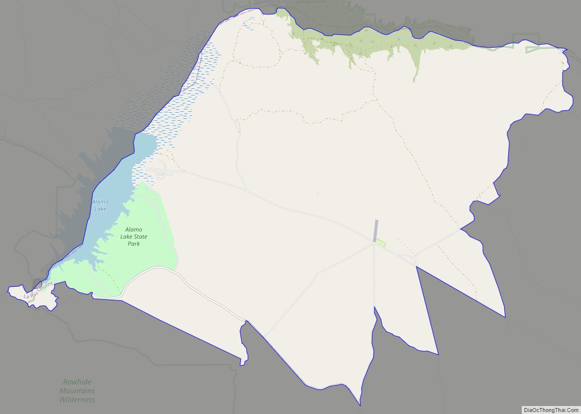
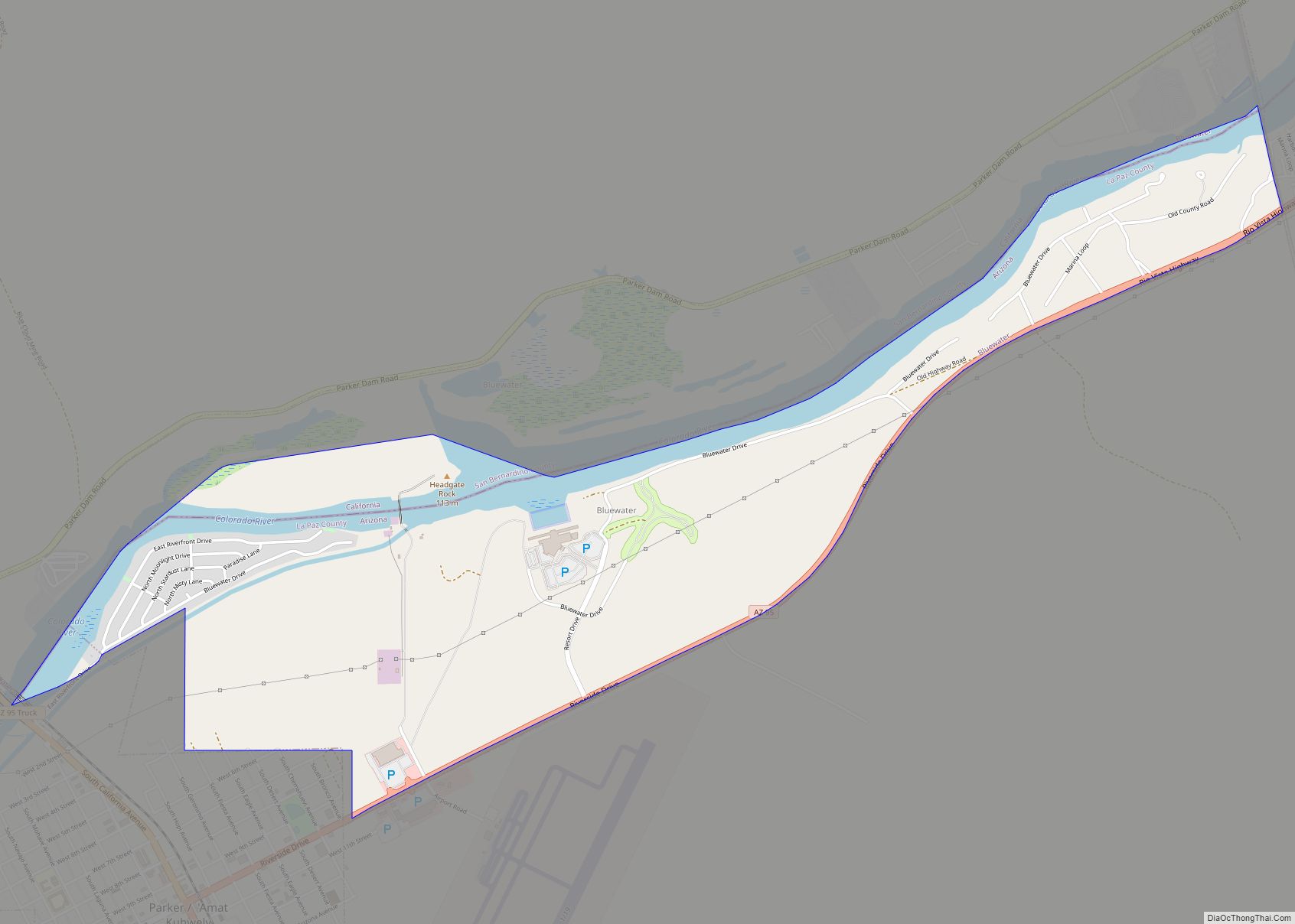
La Paz Valley Road Map
La Paz Valley city Satellite Map
See also
Map of Arizona State and its subdivision: Map of other states:- Alabama
- Alaska
- Arizona
- Arkansas
- California
- Colorado
- Connecticut
- Delaware
- District of Columbia
- Florida
- Georgia
- Hawaii
- Idaho
- Illinois
- Indiana
- Iowa
- Kansas
- Kentucky
- Louisiana
- Maine
- Maryland
- Massachusetts
- Michigan
- Minnesota
- Mississippi
- Missouri
- Montana
- Nebraska
- Nevada
- New Hampshire
- New Jersey
- New Mexico
- New York
- North Carolina
- North Dakota
- Ohio
- Oklahoma
- Oregon
- Pennsylvania
- Rhode Island
- South Carolina
- South Dakota
- Tennessee
- Texas
- Utah
- Vermont
- Virginia
- Washington
- West Virginia
- Wisconsin
- Wyoming