Mammoth is a town in Pinal County, Arizona, United States. The population was 1,426 at the 2010 census; according to 2018 Census Bureau estimates, the population of the town is 1,650.
| Name: | Mammoth town |
|---|---|
| LSAD Code: | 43 |
| LSAD Description: | town (suffix) |
| State: | Arizona |
| County: | Pinal County |
| Founded: | c. 1872 |
| Incorporated: | 1958 |
| Elevation: | 2,359 ft (719 m) |
| Total Area: | 26.32 sq mi (68.17 km²) |
| Land Area: | 26.32 sq mi (68.17 km²) |
| Water Area: | 0.00 sq mi (0.00 km²) |
| Total Population: | 1,076 |
| Population Density: | 40.88/sq mi (15.78/km²) |
| ZIP code: | 85618 |
| Area code: | 520 |
| FIPS code: | 0443990 |
| GNISfeature ID: | 7637 |
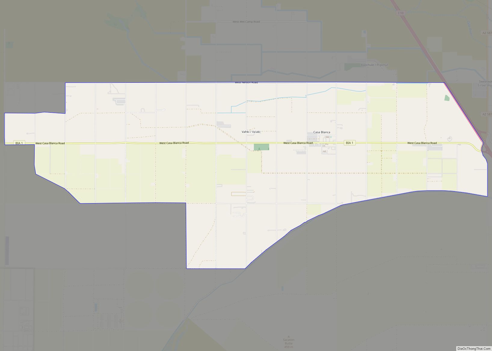
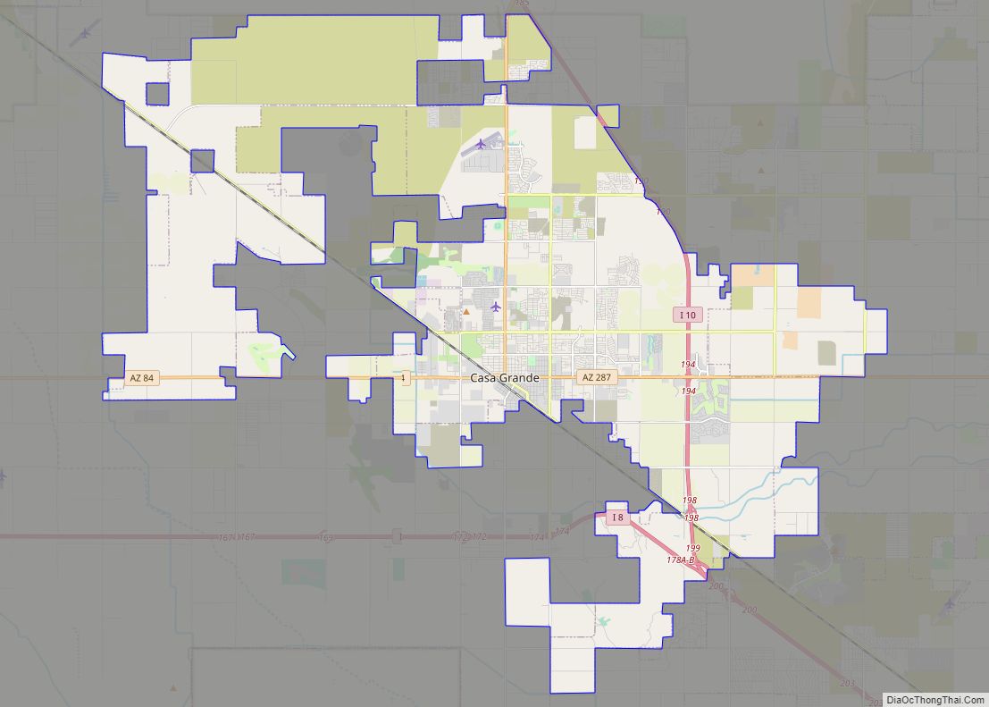
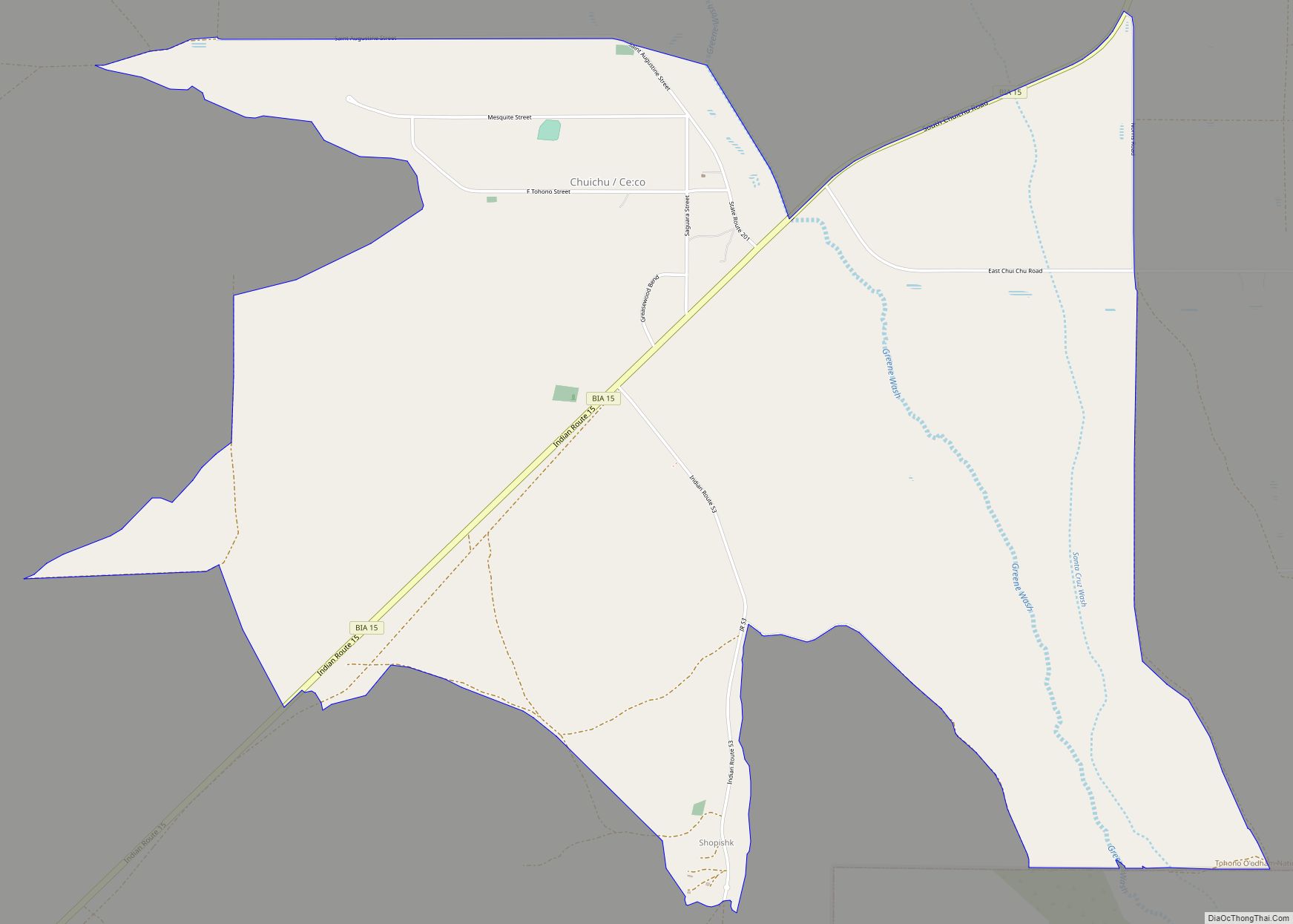
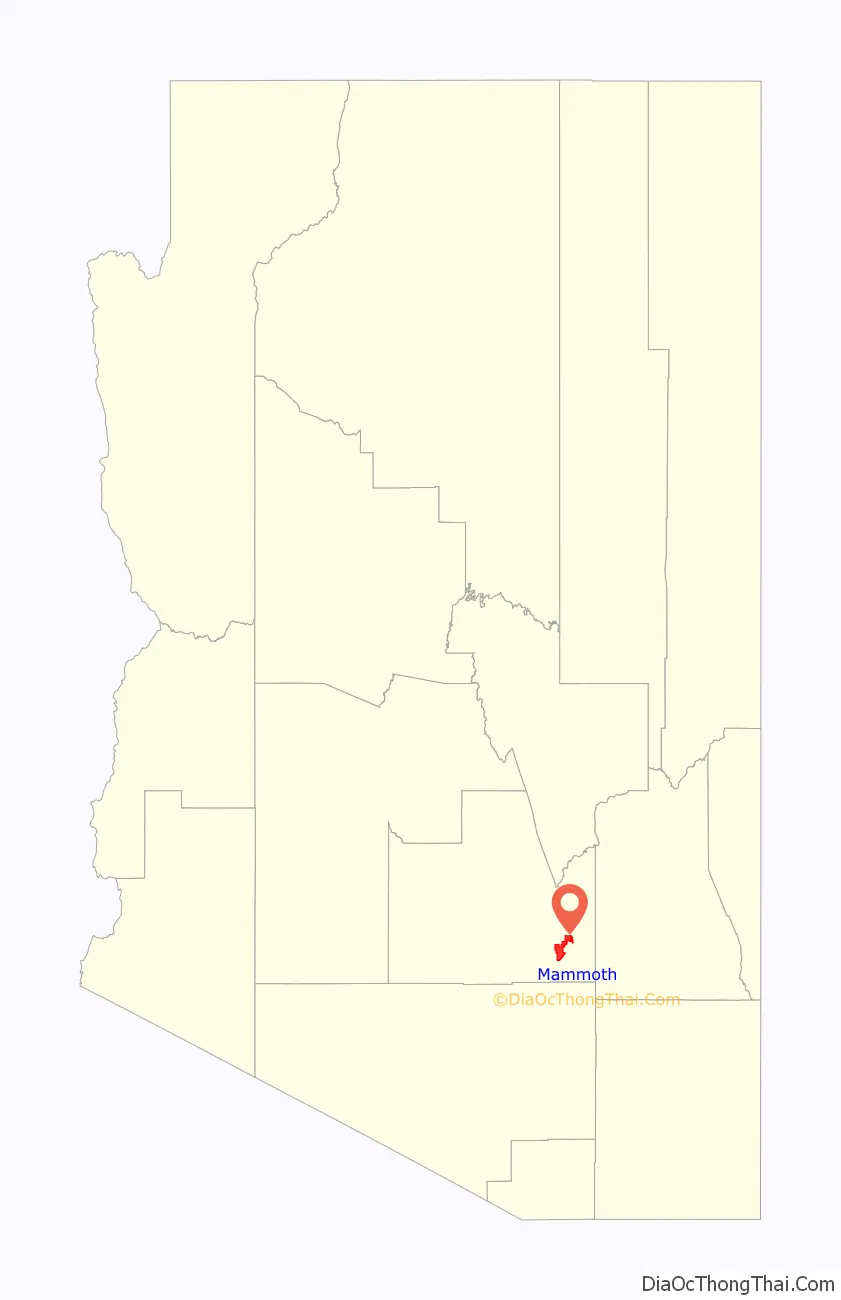
Online Interactive Map
Click on ![]() to view map in "full screen" mode.
to view map in "full screen" mode.
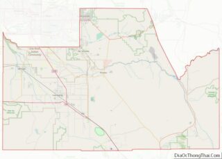
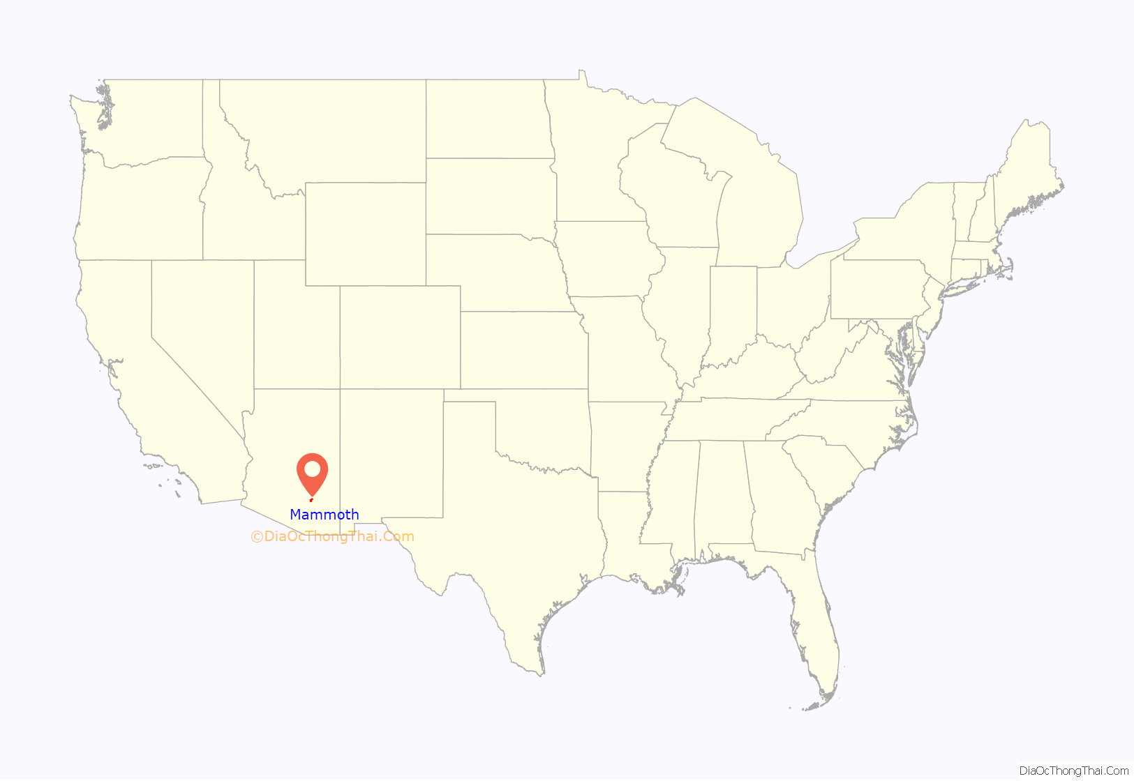
Mammoth location map. Where is Mammoth town?
History
Mammoth was founded c. 1872 as Mammoth Camp, serving the nearby Mammoth Mine. Until 2003, when it closed, Mammoth served as a bedroom community for the nearby San Manuel mine.
The nearby ghost town of Copper Creek is a popular local attraction.
Minerals from the old Mammoth-St. Anthony Mine are found in all major mineral collections. Tiger, Arizona was the townsite at the Tiger mine, but nothing remains of this ghost town.
In November 2014 Mammoth was the subject of a fictional horror tale on the Reddit subreddit “/r/nosleep”, which had a contagious disease wipe out the population. Naive users believed and spread the story, somewhat akin to the 1938 War of the Worlds panic. The town was inundated with phone calls from people trying to ascertain what was happening.
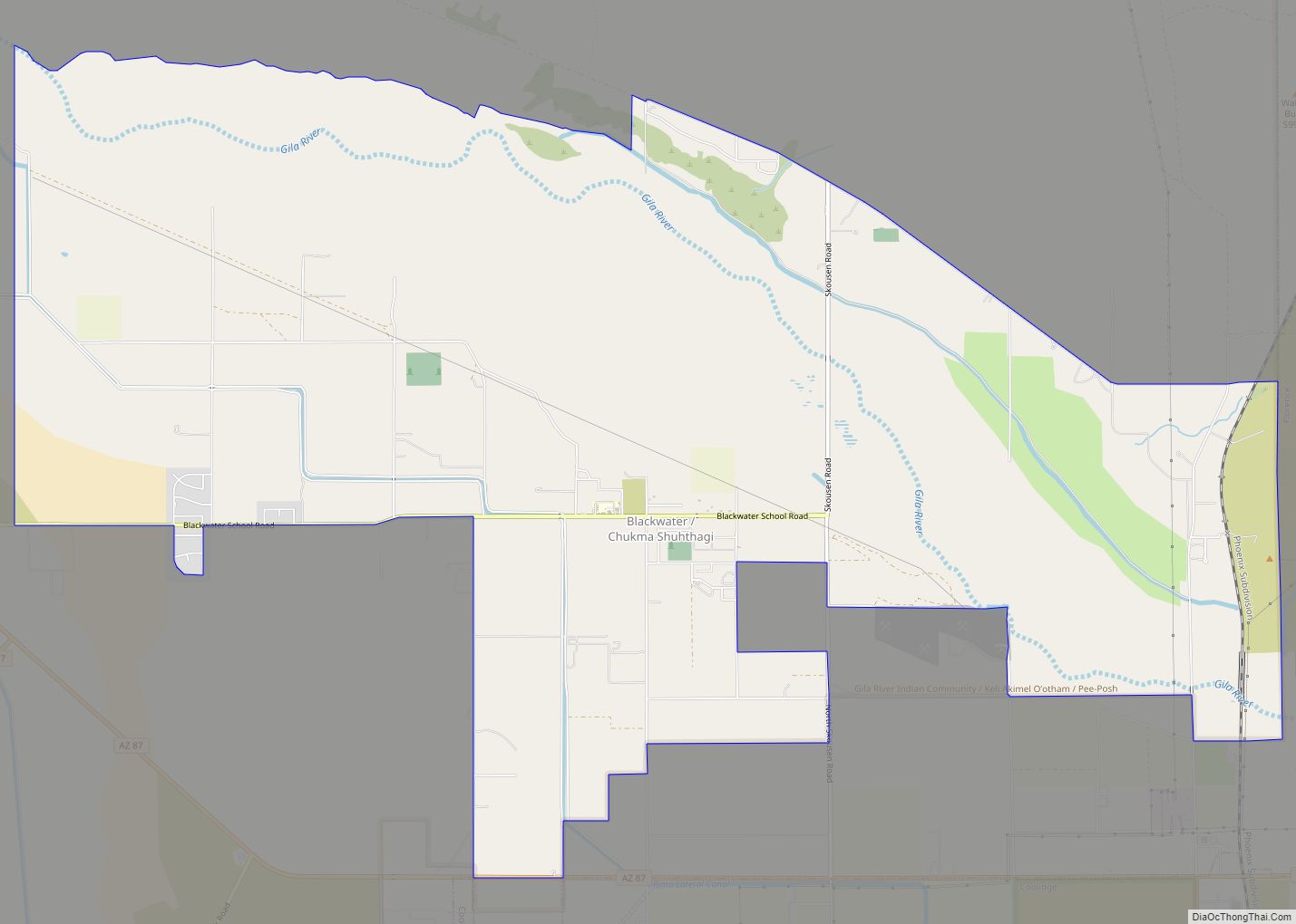
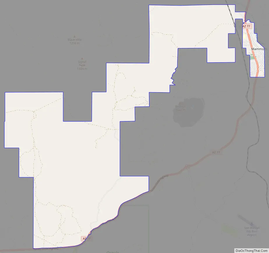
Mammoth Road Map
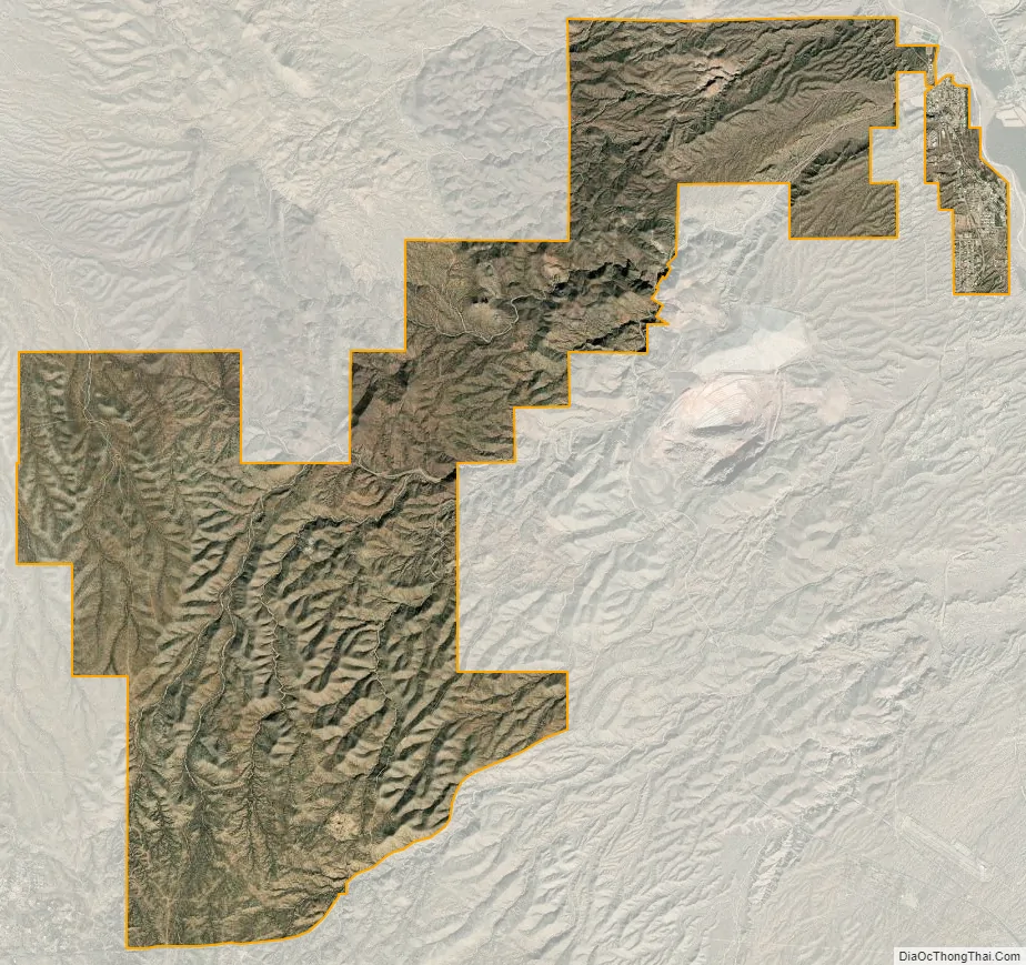
Mammoth city Satellite Map
Geography
According to the United States Census Bureau, the town has a total area of 1.1 square miles (2.8 km), all land.
Climate
According to the Köppen Climate Classification system, Mammoth has a semi-arid climate, abbreviated “BSk” on climate maps.
See also
Map of Arizona State and its subdivision: Map of other states:- Alabama
- Alaska
- Arizona
- Arkansas
- California
- Colorado
- Connecticut
- Delaware
- District of Columbia
- Florida
- Georgia
- Hawaii
- Idaho
- Illinois
- Indiana
- Iowa
- Kansas
- Kentucky
- Louisiana
- Maine
- Maryland
- Massachusetts
- Michigan
- Minnesota
- Mississippi
- Missouri
- Montana
- Nebraska
- Nevada
- New Hampshire
- New Jersey
- New Mexico
- New York
- North Carolina
- North Dakota
- Ohio
- Oklahoma
- Oregon
- Pennsylvania
- Rhode Island
- South Carolina
- South Dakota
- Tennessee
- Texas
- Utah
- Vermont
- Virginia
- Washington
- West Virginia
- Wisconsin
- Wyoming