Many Farms (Navajo: Dáʼákʼeh Halání) is a census-designated place (CDP) in Apache County, Arizona, United States. The population was 1,348 at the 2010 census.
| Name: | Many Farms CDP |
|---|---|
| LSAD Code: | 57 |
| LSAD Description: | CDP (suffix) |
| State: | Arizona |
| County: | Apache County |
| Elevation: | 5,307 ft (1,618 m) |
| Total Area: | 8.18 sq mi (21.18 km²) |
| Land Area: | 8.15 sq mi (21.12 km²) |
| Water Area: | 0.03 sq mi (0.06 km²) |
| Total Population: | 1,243 |
| Population Density: | 152.46/sq mi (58.86/km²) |
| ZIP code: | 86538 |
| Area code: | 928 |
| FIPS code: | 0444200 |
| GNISfeature ID: | 0007659 |
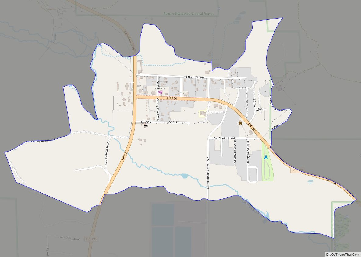
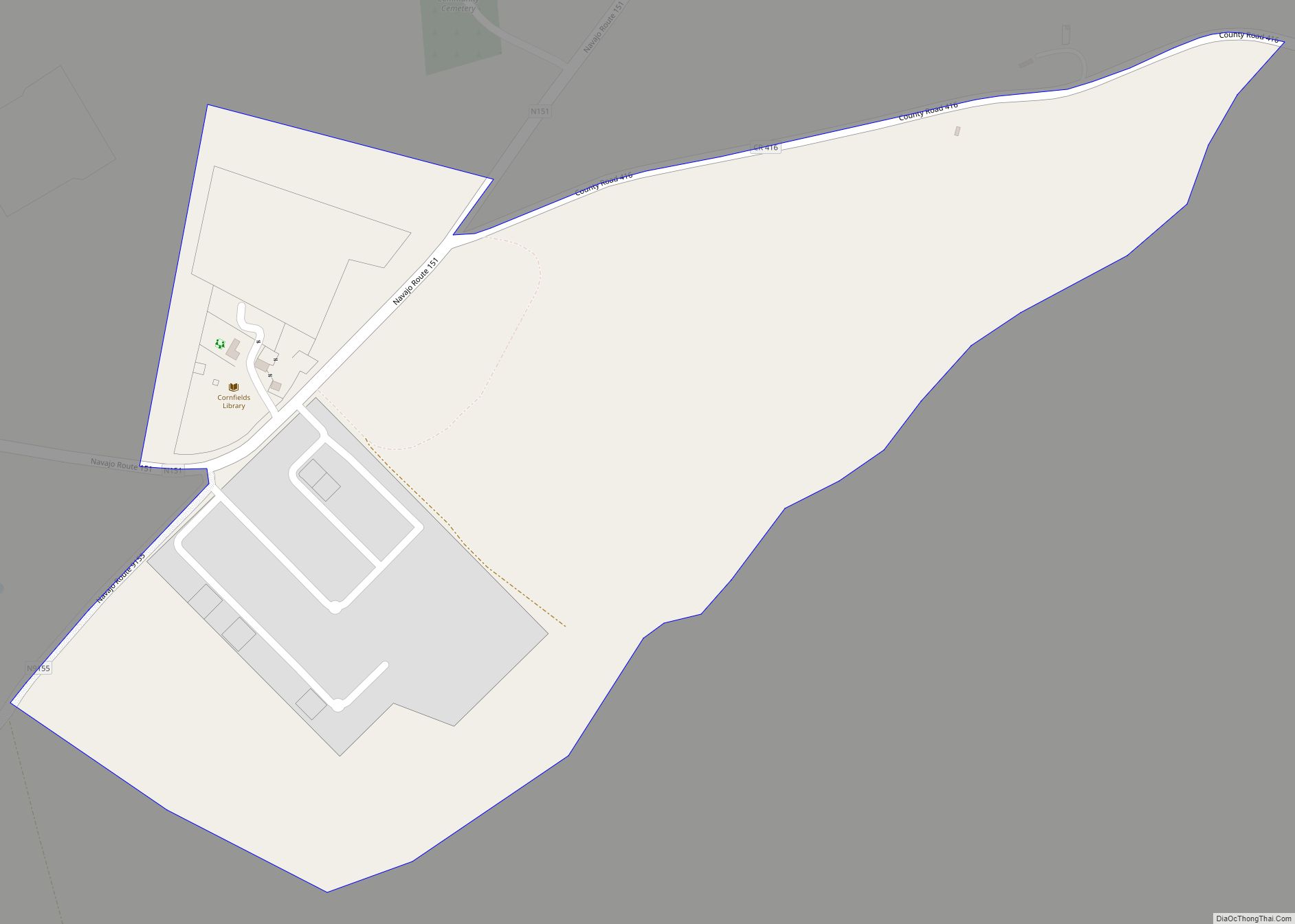
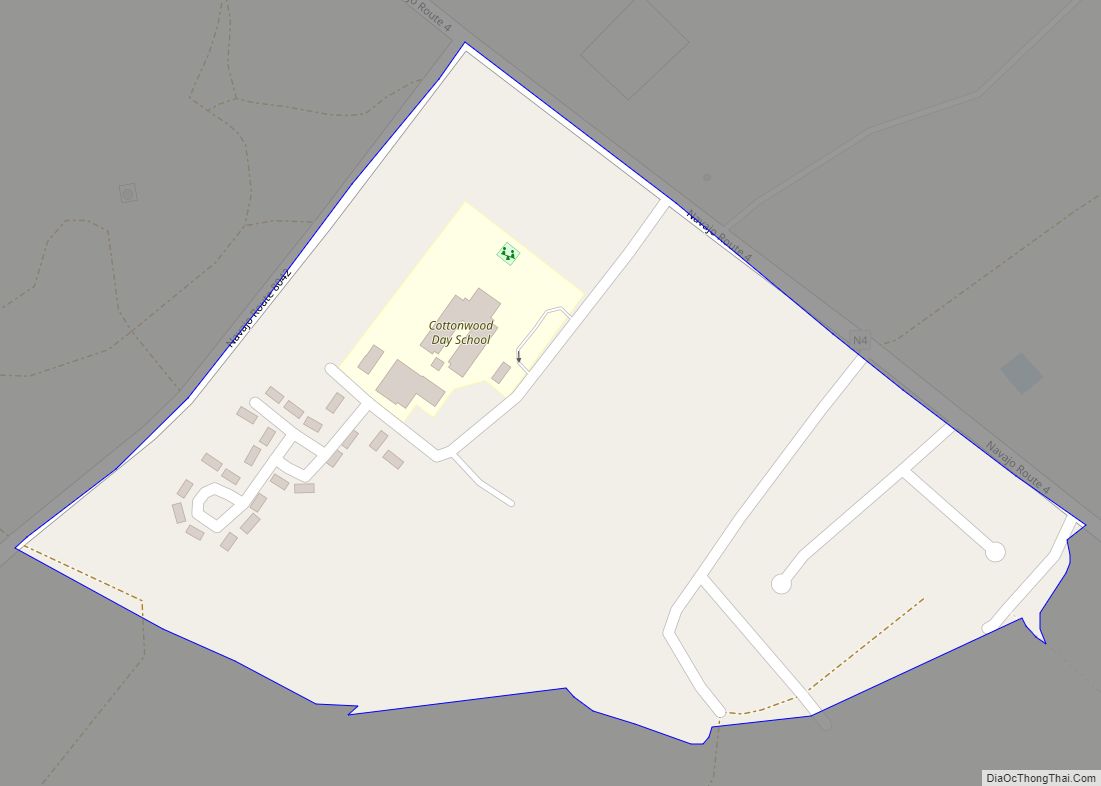
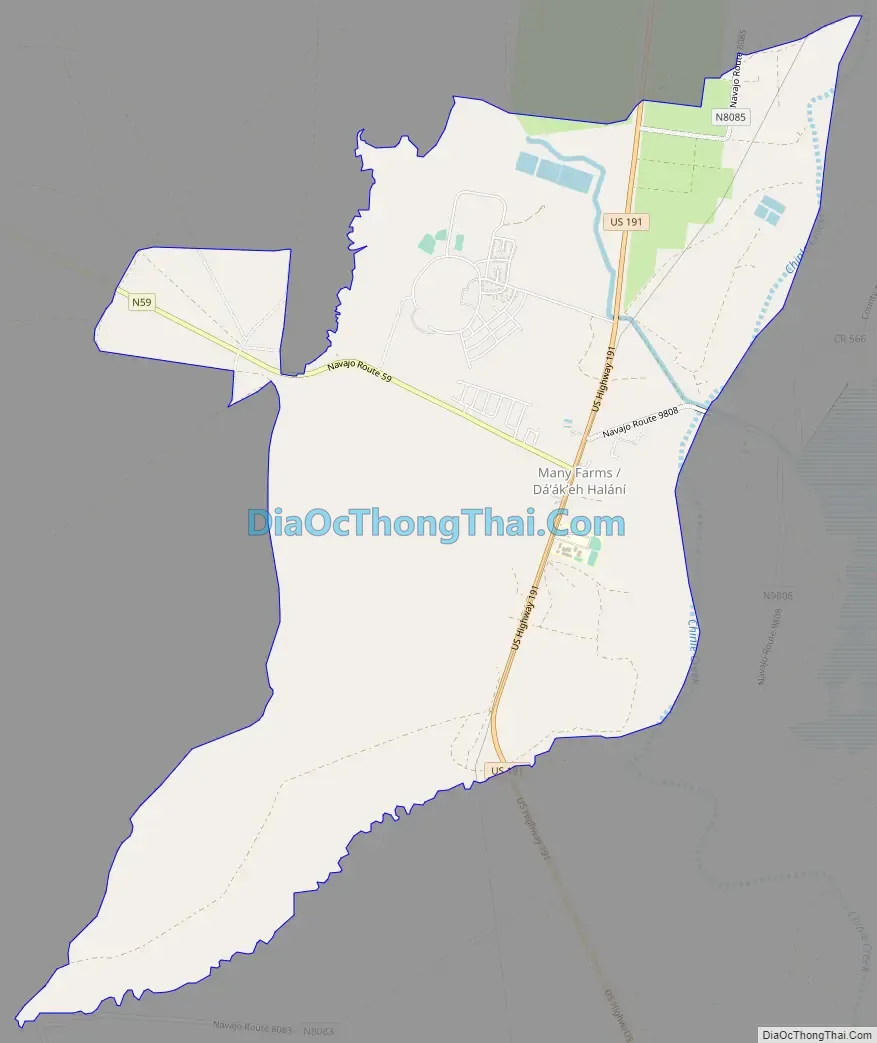
Online Interactive Map
Click on ![]() to view map in "full screen" mode.
to view map in "full screen" mode.
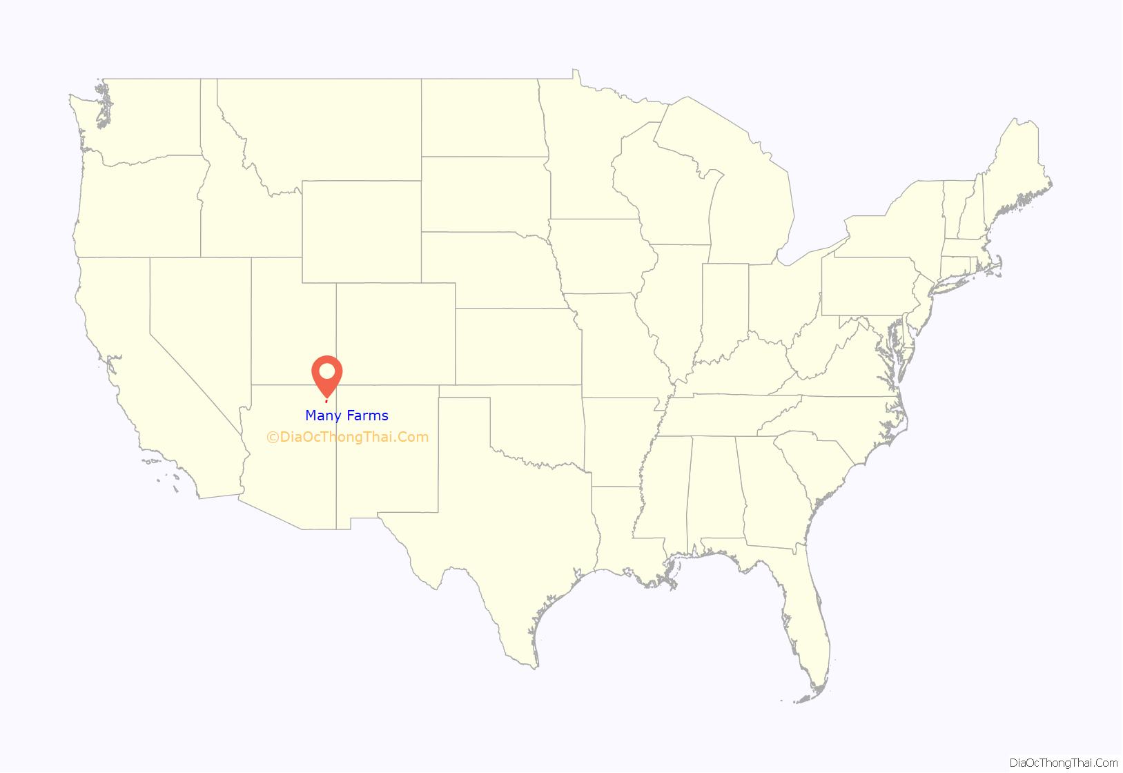
Many Farms location map. Where is Many Farms CDP?
History
Many Farms is an English translation of the Navajo name of the area and is descriptive. The farms became fully irrigated in 1937.
From 1952 to 1962, the Many Farms community was the location of two major medical experiments led by Walsh McDermott. The goal of the first experiment was to test the efficacy of the drug isoniazid as a treatment for tuberculosis (TB), which was then widespread and largely fatal among the Navajo despite the availability of TB medication elsewhere in the country. McDermott chose the reservation because he needed a population that had not been previously exposed to streptomycin, then the most advanced treatment for TB. While McDermott’s initial TB experiment was a success, his second experiment, in which he attempted a more broad-based healthcare intervention, failed to meaningfully reduce disease morbidity and mortality among the Navajo due to conflicts with the Indian Health Service, as well as the experiment’s inability to address poverty, which was the underlying cause of most disease.
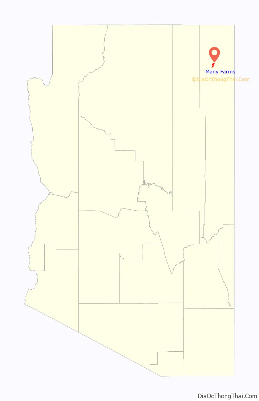
Many Farms Road Map
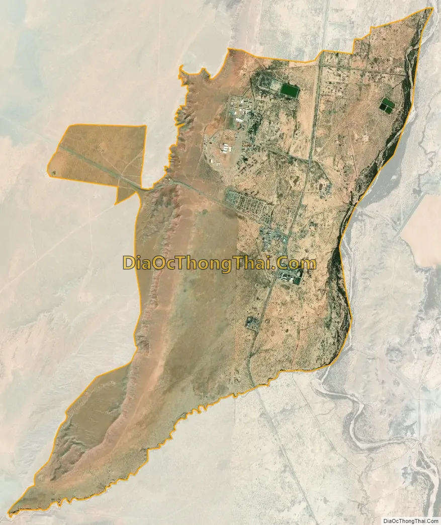
Many Farms city Satellite Map
Geography
Many Farms is located at 36°21′36″N 109°37′41″W / 36.36000°N 109.62806°W / 36.36000; -109.62806 (36.359870, -109.628053).
According to the United States Census Bureau, the CDP has a total area of 8.2 square miles (21.2 km), of which 8.1 square miles (21.1 km) is land and 0.039 square miles (0.1 km), or 0.3%, is water.
Climate
According to the Köppen Climate Classification system, Many Farms has a semi-arid climate, abbreviated “BSk” on climate maps.
See also
Map of Arizona State and its subdivision: Map of other states:- Alabama
- Alaska
- Arizona
- Arkansas
- California
- Colorado
- Connecticut
- Delaware
- District of Columbia
- Florida
- Georgia
- Hawaii
- Idaho
- Illinois
- Indiana
- Iowa
- Kansas
- Kentucky
- Louisiana
- Maine
- Maryland
- Massachusetts
- Michigan
- Minnesota
- Mississippi
- Missouri
- Montana
- Nebraska
- Nevada
- New Hampshire
- New Jersey
- New Mexico
- New York
- North Carolina
- North Dakota
- Ohio
- Oklahoma
- Oregon
- Pennsylvania
- Rhode Island
- South Carolina
- South Dakota
- Tennessee
- Texas
- Utah
- Vermont
- Virginia
- Washington
- West Virginia
- Wisconsin
- Wyoming