Nazlini (Navajo: Názlíní) is a census-designated place (CDP) in Apache County, Arizona, United States. The population was 489 at the 2010 census. Nearby are Nazlini Creek and Nazlini Canyon. Nazlini Canyon is the site of many Native American ruins and campsites that were abandoned when erosion made them unusable.
| Name: | Nazlini CDP |
|---|---|
| LSAD Code: | 57 |
| LSAD Description: | CDP (suffix) |
| State: | Arizona |
| County: | Apache County |
| Elevation: | 6,240 ft (1,902 m) |
| Total Area: | 7.46 sq mi (19.32 km²) |
| Land Area: | 7.45 sq mi (19.30 km²) |
| Water Area: | 0.01 sq mi (0.02 km²) |
| Total Population: | 505 |
| Population Density: | 67.77/sq mi (26.17/km²) |
| ZIP code: | 86540 |
| Area code: | 928 |
| FIPS code: | 0449010 |
| GNISfeature ID: | 0008549 |
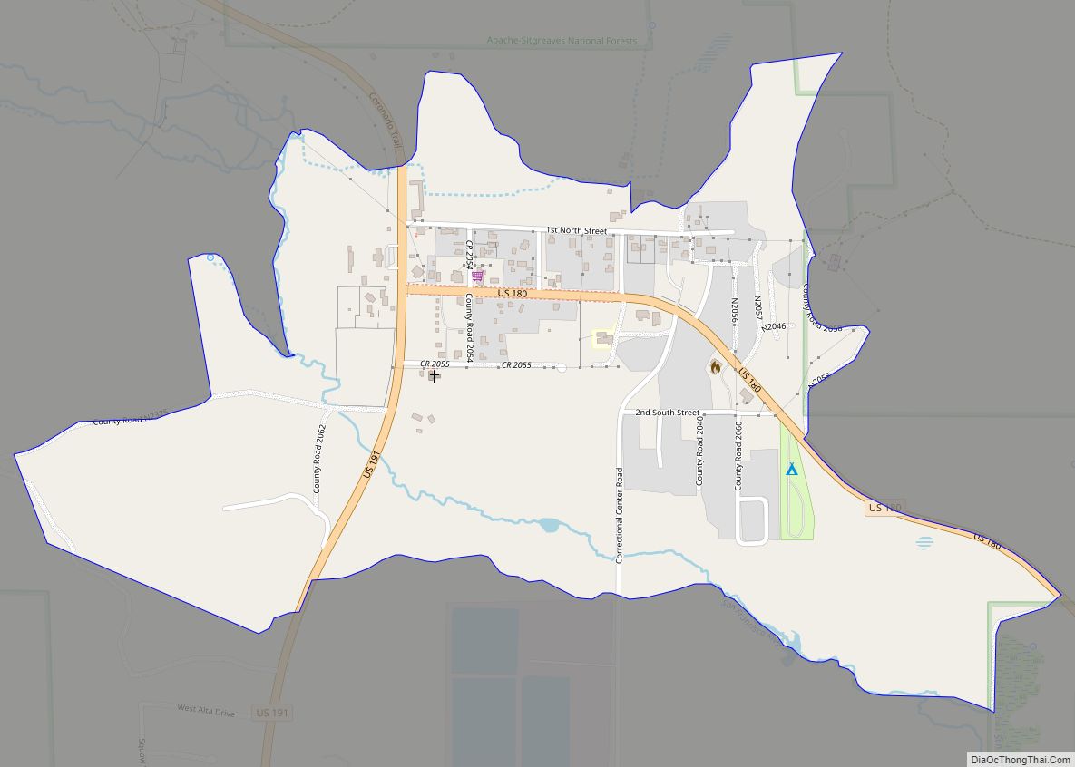
Online Interactive Map
Click on ![]() to view map in "full screen" mode.
to view map in "full screen" mode.
Nazlini location map. Where is Nazlini CDP?
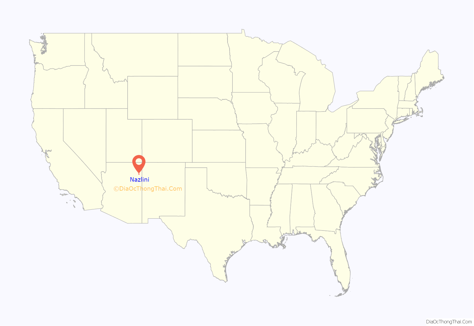
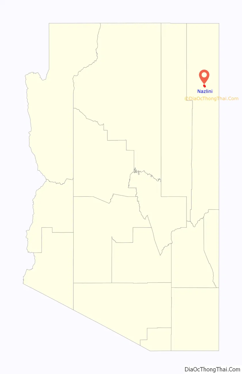
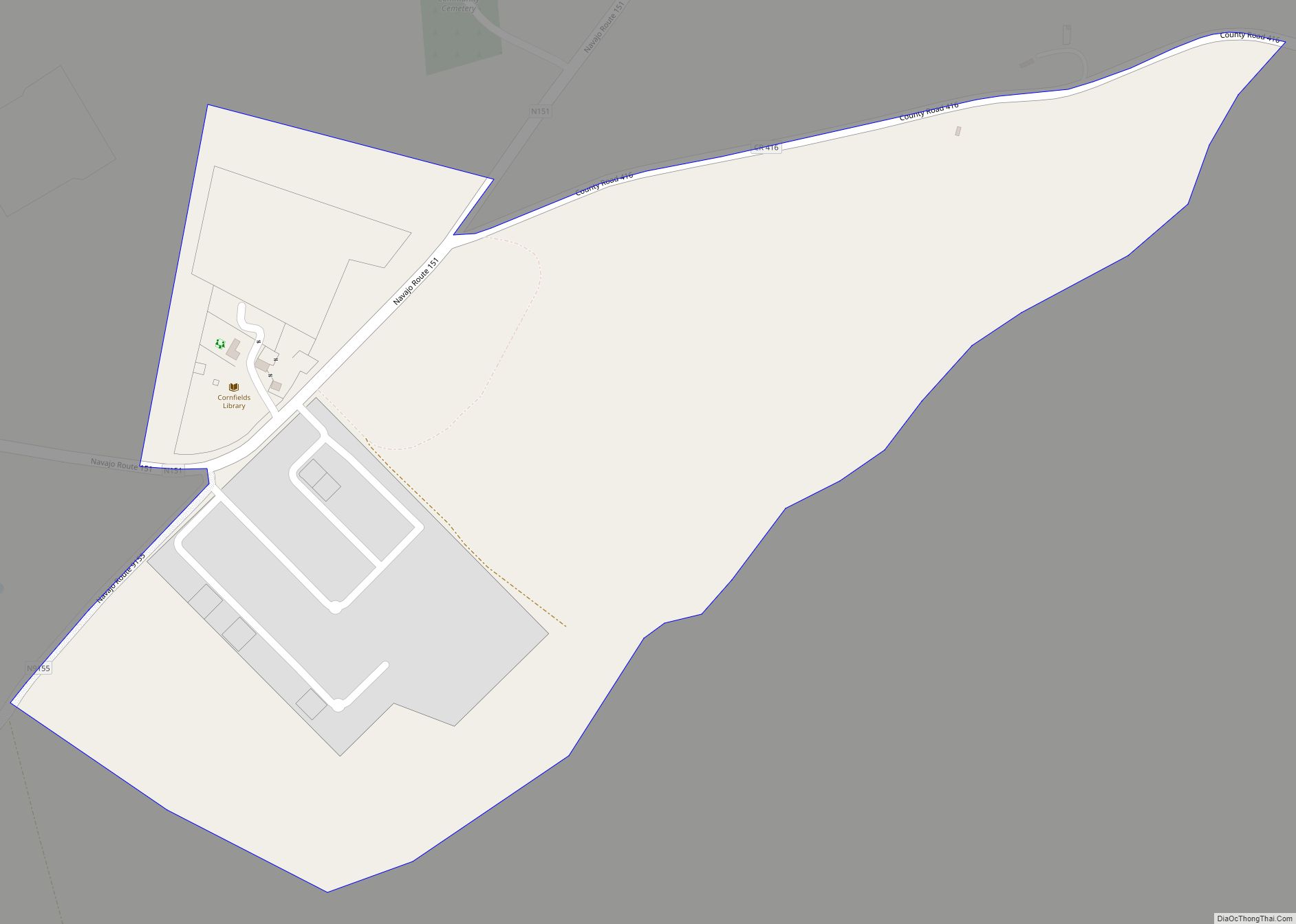
Nazlini Road Map
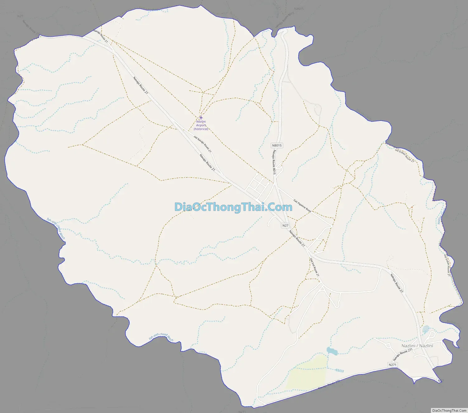
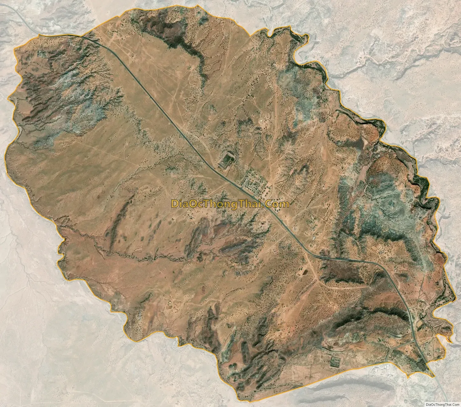
Nazlini city Satellite Map
Geography
Nazlini is located at 35°54′53″N 109°27′51″W / 35.91472°N 109.46417°W / 35.91472; -109.46417 (35.914641, -109.464097).
According to the United States Census Bureau, the CDP has a total area of 7.5 square miles (19.3 km), all land.
See also
Map of Arizona State and its subdivision: Map of other states:- Alabama
- Alaska
- Arizona
- Arkansas
- California
- Colorado
- Connecticut
- Delaware
- District of Columbia
- Florida
- Georgia
- Hawaii
- Idaho
- Illinois
- Indiana
- Iowa
- Kansas
- Kentucky
- Louisiana
- Maine
- Maryland
- Massachusetts
- Michigan
- Minnesota
- Mississippi
- Missouri
- Montana
- Nebraska
- Nevada
- New Hampshire
- New Jersey
- New Mexico
- New York
- North Carolina
- North Dakota
- Ohio
- Oklahoma
- Oregon
- Pennsylvania
- Rhode Island
- South Carolina
- South Dakota
- Tennessee
- Texas
- Utah
- Vermont
- Virginia
- Washington
- West Virginia
- Wisconsin
- Wyoming