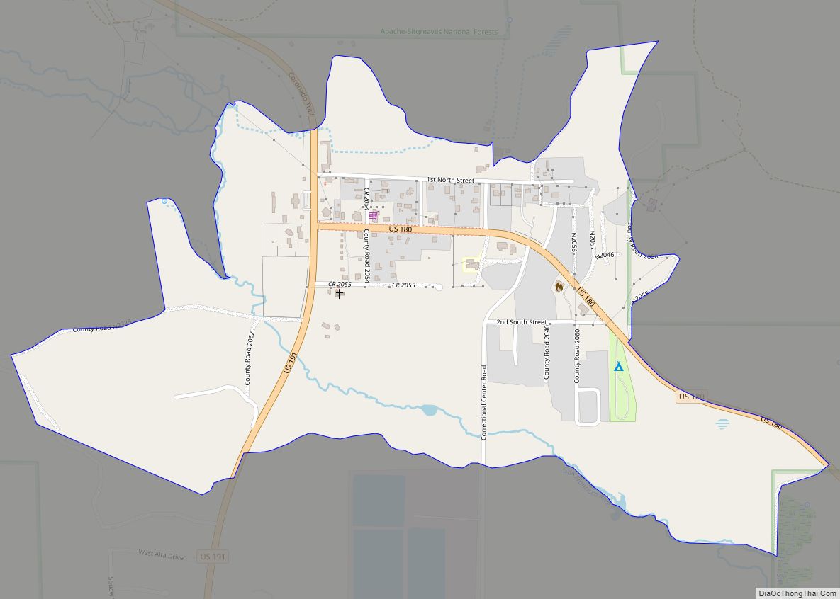
Nutrioso is an unincorporated community and census-designated place (CDP) in Apache County, Arizona, United States. Nutrioso is located on U.S. Route 180 and U.S. Route 191, 12 miles (19 km) south-southeast of Eagar. Nutrioso has a post office with ZIP code 85932. As of the 2010 census, the population was 26.
| Name: | Nutrioso CDP |
|---|---|
| LSAD Code: | 57 |
| LSAD Description: | CDP (suffix) |
| State: | Arizona |
| County: | Apache County |
| Elevation: | 7,671 ft (2,338 m) |
| Total Area: | 0.28 sq mi (0.72 km²) |
| Land Area: | 0.28 sq mi (0.72 km²) |
| Water Area: | 0.00 sq mi (0.00 km²) |
| Total Population: | 39 |
| Population Density: | 139.78/sq mi (53.95/km²) |
| ZIP code: | 85932 |
| Area code: | 928 |
| FIPS code: | 0450340 |
| GNISfeature ID: | 32412 |
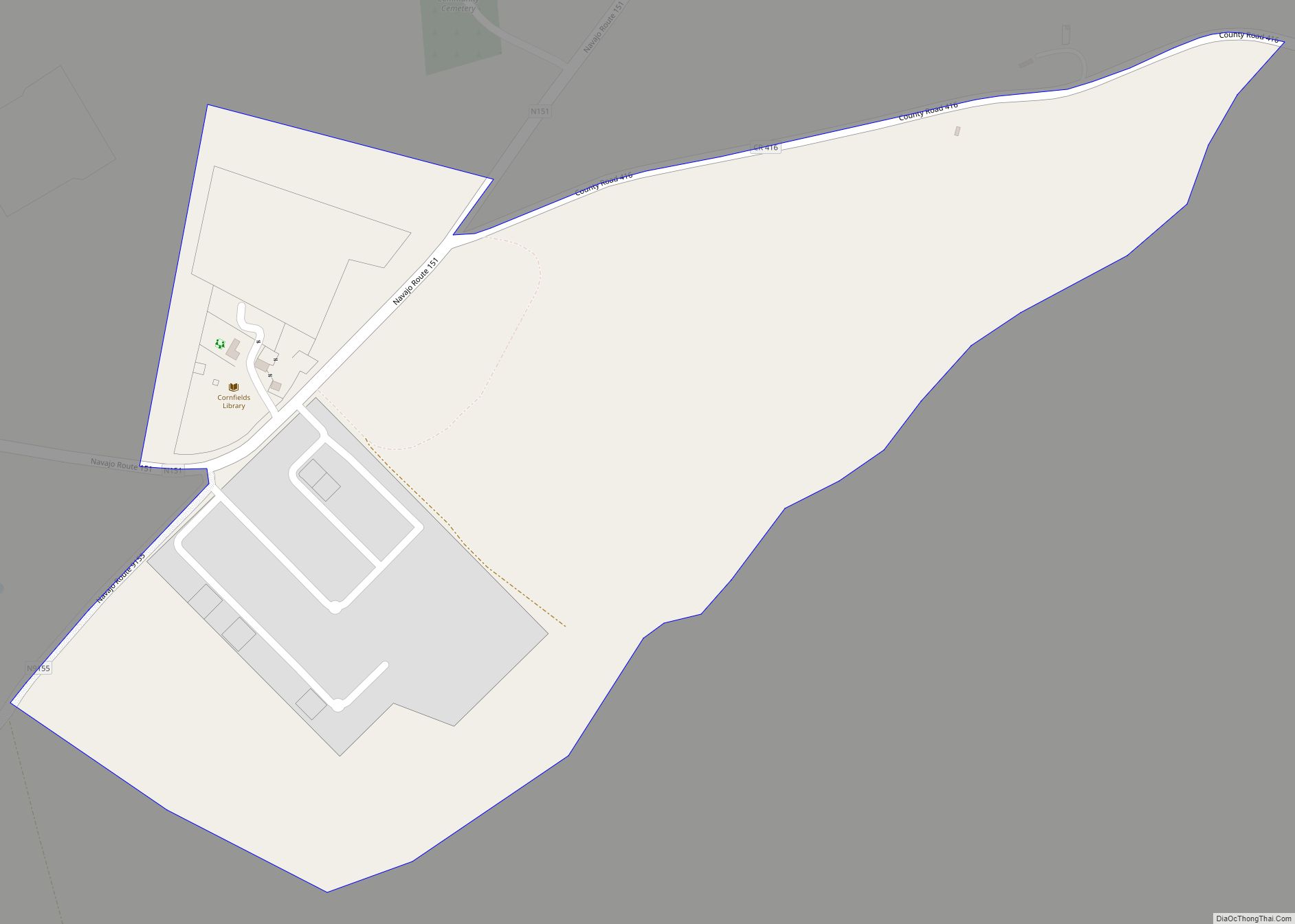
Online Interactive Map
Click on ![]() to view map in "full screen" mode.
to view map in "full screen" mode.
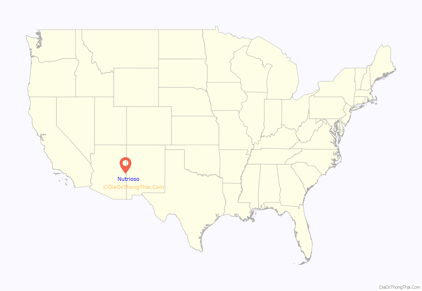
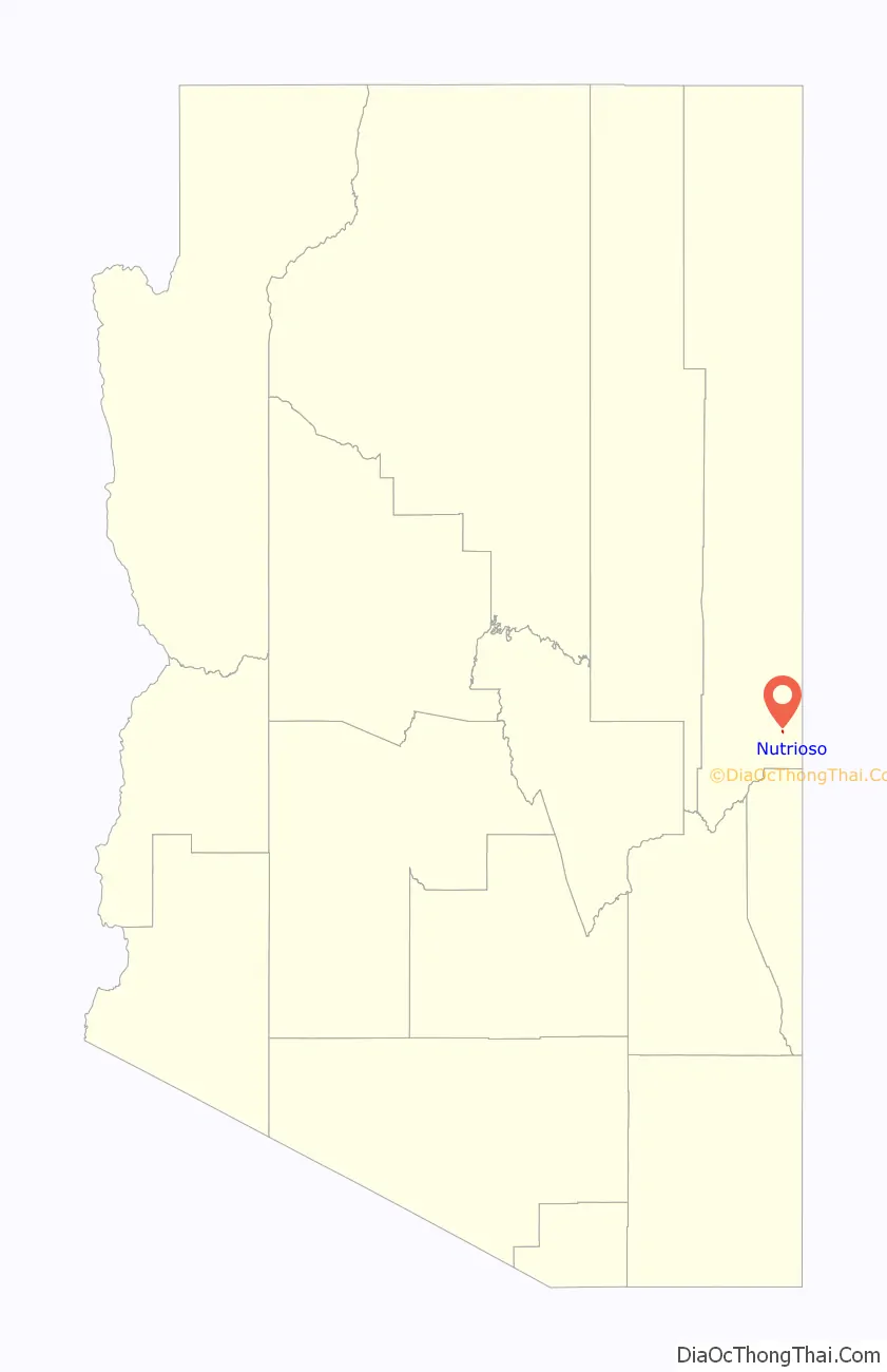
Nutrioso location map. Where is Nutrioso CDP?
History
Nutrioso’s name is derived from the Spanish word Nutria (“Otter”). The early Spanish colonists referred to beaver as “nutria”, perhaps because the Eurasian beaver had been extinct in Spain since the 17th century. On August 2, 1776 Francisco Silvestre Vélez de Escalante wrote in his diary, “…we halted in a small plain on the bank of another arroyo which is called Rio de las Nutrias, because, although it is of permanent and running water, apparently during all or most of the year it stands in pools where they say beavers breed.” The first settlers in the area either killed an otter and a bear (Oso in Spanish) and took the name from that incident, killed a beaver and a bear and misused the term “Nutria” or killed just a beaver and used the term “Nutrioso” to mean “Of Beavers”.
Nutrioso rose in importance as Mormon refugees relocated here after other nearby settlements were attacked by Native American groups. By 1880, a fort had been constructed, and by 1883 a post office was established.
Nutrioso Road Map
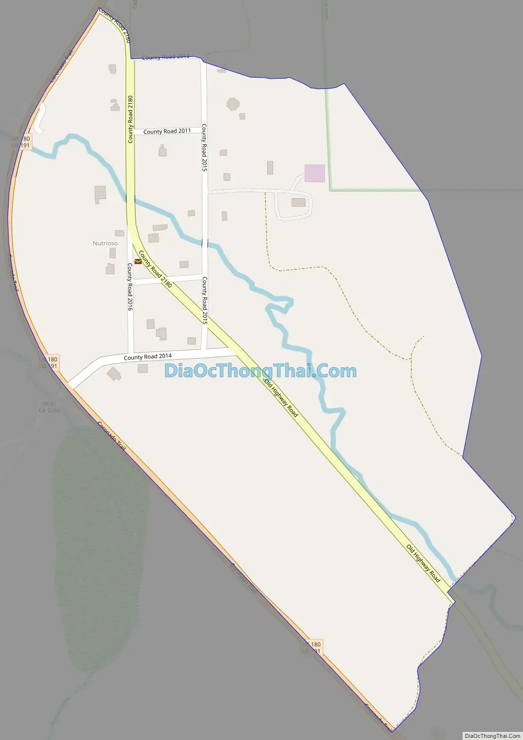
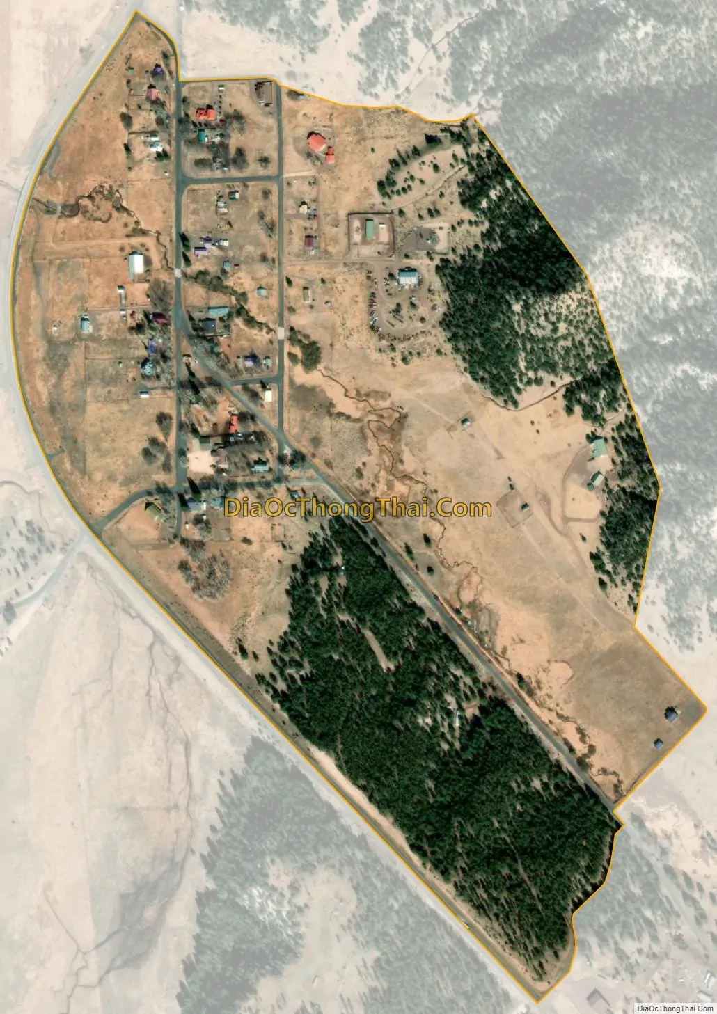
Nutrioso city Satellite Map
See also
Map of Arizona State and its subdivision: Map of other states:- Alabama
- Alaska
- Arizona
- Arkansas
- California
- Colorado
- Connecticut
- Delaware
- District of Columbia
- Florida
- Georgia
- Hawaii
- Idaho
- Illinois
- Indiana
- Iowa
- Kansas
- Kentucky
- Louisiana
- Maine
- Maryland
- Massachusetts
- Michigan
- Minnesota
- Mississippi
- Missouri
- Montana
- Nebraska
- Nevada
- New Hampshire
- New Jersey
- New Mexico
- New York
- North Carolina
- North Dakota
- Ohio
- Oklahoma
- Oregon
- Pennsylvania
- Rhode Island
- South Carolina
- South Dakota
- Tennessee
- Texas
- Utah
- Vermont
- Virginia
- Washington
- West Virginia
- Wisconsin
- Wyoming