Oracle is a census-designated place (CDP) in Pinal County, Arizona, United States. The population was 3,686 at the 2010 Census, falling to 3,051 at the 2020 Census.
Buffalo Bill Cody owned the High Jinks Gold Mine in Oracle briefly and, in 1911, appeared as “Santa” for a group of local children. The community is the location of the Biosphere 2 experiment. Oracle was also the postal address for environmentalist author Edward Abbey, who never lived in the town but visited often. Oracle is becoming a bedroom community for Tucson, Arizona, but large-scale development is opposed by many residents.
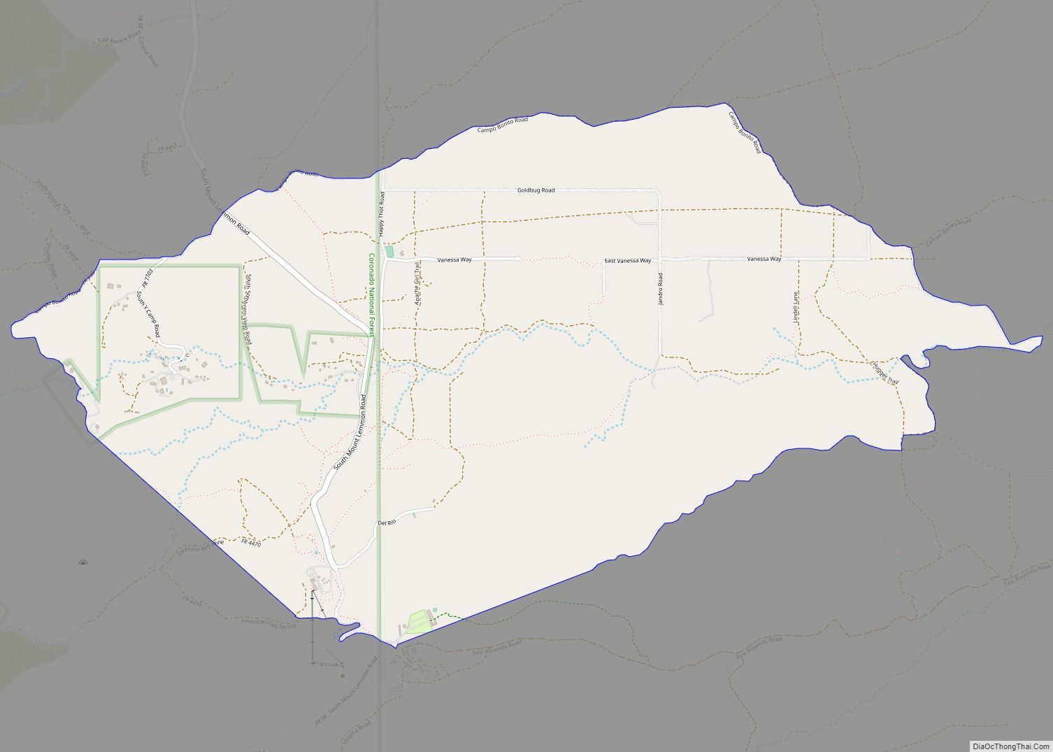
Oracle State Park is adjacent. The Arizona Trail passes through the Park and community. Oracle is the gateway to the road up the north face of Mount Lemmon, which starts off of American Avenue and currently offers a secondary route to the top. Prior to the construction of the Catalina Highway on the opposite side of the Santa Catalina range, the Oracle Control Road was the only road access to the mountain community of Summerhaven. The term “control road” derives from the fact that the direction of traffic was restricted to one-way only, either up or down at alternate times of day, to prevent motorists from having to pass one another on the narrow, steep road. This route is now popular mainly with off-road 4×4 drivers and with off-road or dual-purpose motorcyclists, and should not be attempted by regular passenger cars or street motorcycles. This road ends at the Catalina Highway near Loma Linda.
| Name: | Oracle CDP |
|---|---|
| LSAD Code: | 57 |
| LSAD Description: | CDP (suffix) |
| State: | Arizona |
| County: | Pinal County |
| Elevation: | 4,524 ft (1,379 m) |
| Total Area: | 15.87 sq mi (41.10 km²) |
| Land Area: | 15.87 sq mi (41.10 km²) |
| Water Area: | 0.00 sq mi (0.00 km²) |
| Total Population: | 3,051 |
| Population Density: | 192.29/sq mi (74.24/km²) |
| ZIP code: | 85623 |
| Area code: | 520 |
| FIPS code: | 0451180 |
| GNISfeature ID: | 32541 |
Online Interactive Map
Click on ![]() to view map in "full screen" mode.
to view map in "full screen" mode.
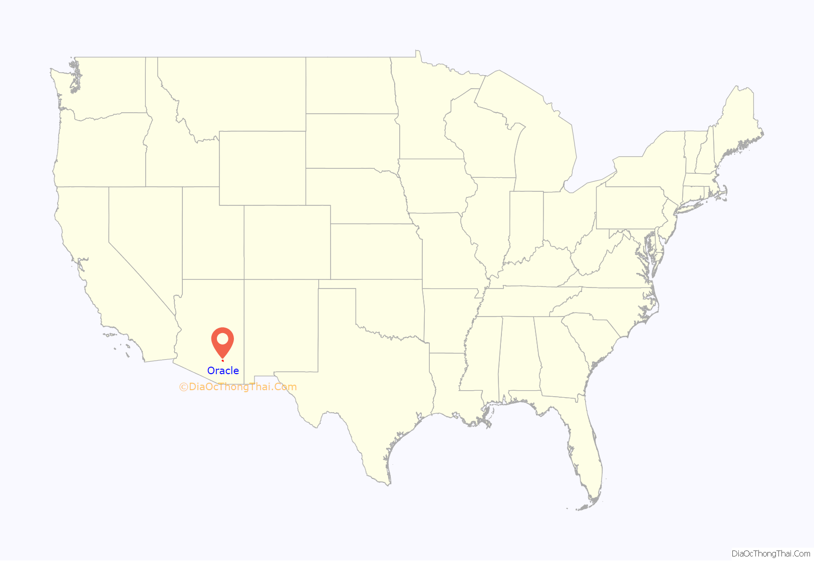
Oracle location map. Where is Oracle CDP?
History
The name “Oracle” comes from early prospectors. Albert Weldon came to the area looking for gold and silver. He and some other companions named their first mine The Oracle after the ship Weldon had traveled on. The community was later named after its first mine, and thus, indirectly, after a ship.
The community began to grow in the late 1870s, as gold and silver were discovered, and the Christmas and New Year mines opened. By 1880, a post office had been established.
The community also became a retreat for people suffering from tuberculosis. The Acadia Ranch – built in Oracle in 1882 by Edwin S. and Lillian Dodge – was, during this time, a sanitorium.
On January 1, 2017, in the Arizona Daily Star newspaper, historian David Leighton challenged the accepted history of the town of Oracle:
He wrote that Albert Weldon who was born about 1840 in New Brunswick, Canada, traveled on his uncle Capt. A.D. Wood’s ship Oracle around Cape Horn at the tip of South America and arrived in California between 1857 and 1860. Weldon enlisted as a private in Company E, 5th California Infantry, of the Union Army, in 1861. This unit was attached to the California Column and soon marched to Tucson where Weldon was posted at a nearby stage station before moving east and eventually being honorably discharged in Mesilla New Mexico in 1864.
After his military service he returned to California and was involved in mining and also lumber. In 1876 he returned to Arizona. Within a couple of years he found a partner in Irishman Jimmie Lee and both men traveled northeast of Tucson into the Santa Catalina Mountains in search of precious metal. Soon he found a mining claim and named it Oracle in honor of his uncle’s ship.
The ship Oracle was built under the supervision of Captain Charles E. Ranlett and was constructed for the shipbuilding firm Chapman & Flint of Maine. It was launched in 1853 and was a temperance ship (one that didn’t allow alcohol aboard) and sailed to ports across the globe including Melbourne, Australia and Shanghai, China. It was captained by Weldon’s uncle for several years.
Weldon was soon joined by Alexander McKay, an immigrant from Scotland who located two mining claims named Christmas and New Years because of the days they were discovered. McKay also built a one-room house, the first in the area, and from it, the village grew. When it was time for a post office to be named, Oracle was the name eventually chosen.
Mr. Leighton stated that the town of Oracle takes its name from the Oracle Mine which took its name from the ship Oracle and that he believes the ship took its name from an oracle – a shrine dedicated to a particular god where people went to consult a priest or priestess in times of trouble or uncertainty – called the Temple of Apollo at Didyma in present-day Aydin Province, Turkey, not the oracle at Delphi, Greece believed by some to be the origin of the name. He also explained that there were two ships named Oracle made by the same shipbuilder, the second one being launched in 1876 but that this later ship wasn’t the boat that Weldon traveled on, as some sources have said.
Oracle Road Map
Oracle city Satellite Map
Geography
Oracle is located at 32°36′58″N 110°46′55″W / 32.61611°N 110.78194°W / 32.61611; -110.78194 (32.616030, -110.781854).
According to the United States Census Bureau, the CDP has a total area of 16.4 square miles (42 km), all land.
See also
Map of Arizona State and its subdivision: Map of other states:- Alabama
- Alaska
- Arizona
- Arkansas
- California
- Colorado
- Connecticut
- Delaware
- District of Columbia
- Florida
- Georgia
- Hawaii
- Idaho
- Illinois
- Indiana
- Iowa
- Kansas
- Kentucky
- Louisiana
- Maine
- Maryland
- Massachusetts
- Michigan
- Minnesota
- Mississippi
- Missouri
- Montana
- Nebraska
- Nevada
- New Hampshire
- New Jersey
- New Mexico
- New York
- North Carolina
- North Dakota
- Ohio
- Oklahoma
- Oregon
- Pennsylvania
- Rhode Island
- South Carolina
- South Dakota
- Tennessee
- Texas
- Utah
- Vermont
- Virginia
- Washington
- West Virginia
- Wisconsin
- Wyoming
