Saddlebrooke is a census-designated place (CDP) and retirement community in Pinal County, Arizona, United States. The population was 12,574 at the United States 2020 Census
There are two communities managed by homeowner associations within the retirement development; SaddleBrooke One, and SaddleBrooke Two, the latter includes the Preserve subdivision. Eagle Crest is a smaller all age subdivision that is part of the SaddleBrooke (CDP).
SaddleBrooke, Arizona is located just north of Oro Valley, AZ. and close to Tucson AZ . The 3400 ft elevation in the foothills results in cooler year round temperatures compared to many other Arizona locations. In the foothills of the Catalina Mountains. It has rolling and changing in topography and elevation changes
| Name: | Saddlebrooke CDP |
|---|---|
| LSAD Code: | 57 |
| LSAD Description: | CDP (suffix) |
| State: | Arizona |
| County: | Pinal County |
| Total Area: | 47.80 sq mi (123.82 km²) |
| Land Area: | 47.80 sq mi (123.81 km²) |
| Water Area: | 0.00 sq mi (0.00 km²) |
| Total Population: | 12,574 |
| Population Density: | 263.03/sq mi (101.55/km²) |
| FIPS code: | 0461940 |
Online Interactive Map
Click on ![]() to view map in "full screen" mode.
to view map in "full screen" mode.
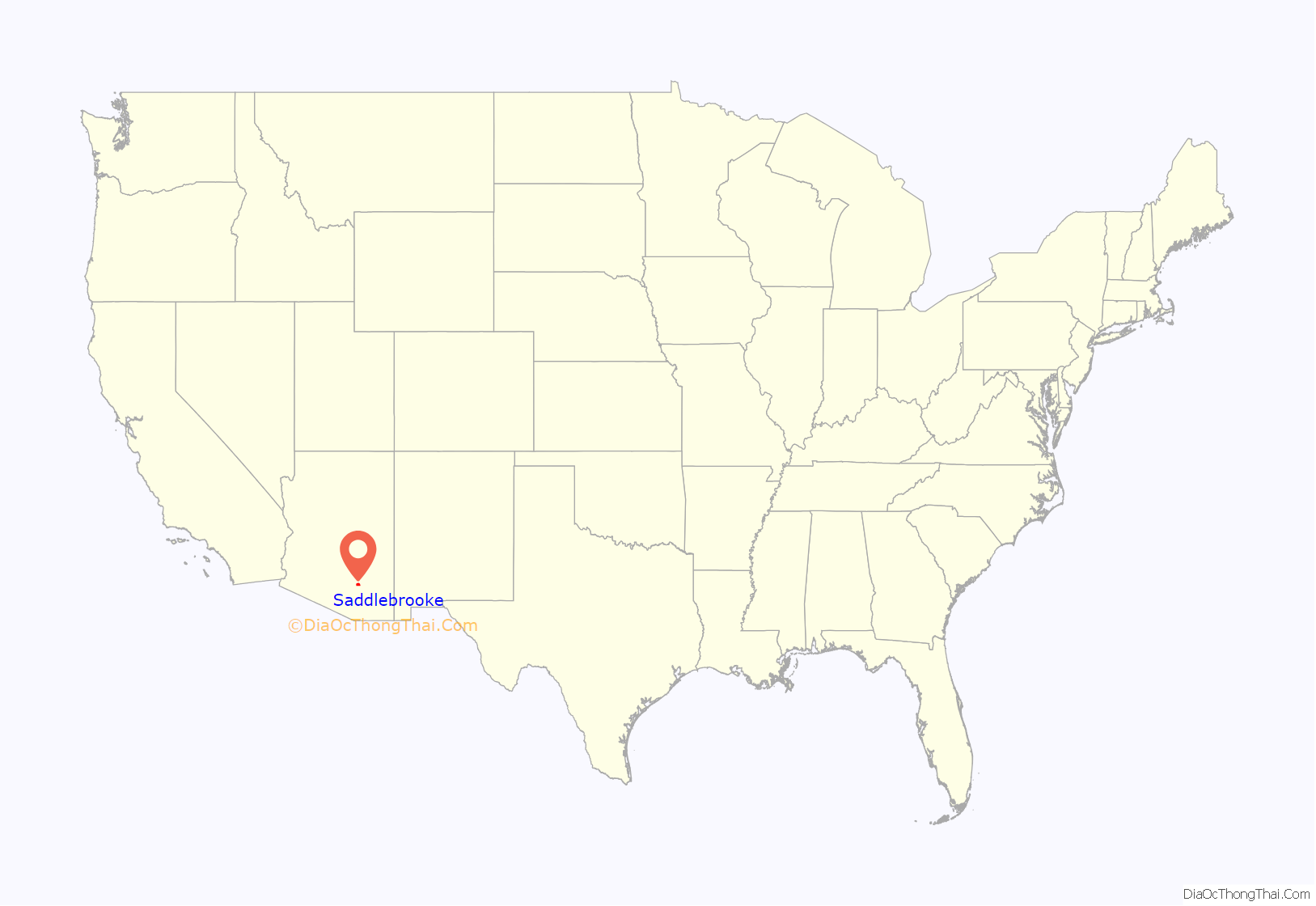
Saddlebrooke location map. Where is Saddlebrooke CDP?
Saddlebrooke Road Map
Saddlebrooke city Satellite Map
See also
Map of Arizona State and its subdivision: Map of other states:- Alabama
- Alaska
- Arizona
- Arkansas
- California
- Colorado
- Connecticut
- Delaware
- District of Columbia
- Florida
- Georgia
- Hawaii
- Idaho
- Illinois
- Indiana
- Iowa
- Kansas
- Kentucky
- Louisiana
- Maine
- Maryland
- Massachusetts
- Michigan
- Minnesota
- Mississippi
- Missouri
- Montana
- Nebraska
- Nevada
- New Hampshire
- New Jersey
- New Mexico
- New York
- North Carolina
- North Dakota
- Ohio
- Oklahoma
- Oregon
- Pennsylvania
- Rhode Island
- South Carolina
- South Dakota
- Tennessee
- Texas
- Utah
- Vermont
- Virginia
- Washington
- West Virginia
- Wisconsin
- Wyoming
