San Manuel is a census-designated place (CDP) in Pinal County, Arizona, United States. The population was 3,551 at the 2010 census.
San Manuel was built in 1953 by Del E. Webb Construction Company as a company town to serve the then-new San Manuel copper mine, mill and smelter complex. In 1955 the San Manuel Arizona Railroad was built to connect with the Copper Basin Railway at Hayden. When copper prices fell in the late 1990s, BHP, the owner of the mine and smelter complex shuttered both operations in June 1999. The closing saw 2,500 people lose their jobs. The mine and smelter were permanently closed in 2003.
The community is on the edge of the Sonoran Desert with its saguaros and overlooks the San Pedro River valley and panoramic Galiuro Mountains. Today, San Manuel is a leisure destination popular for hunting, sightseeing, and is a hub for off-road adventure for dirt bikes, UTV’s and ATV’s. UTV rentals and guided tours are available in town. Several museums include a mining museum and a motorcycle museum. It is also a gateway city of The Arizona Trail. Nearby towns are Oracle and Mammoth. Both are within 10 mi (16 km) of San Manuel and make up a tri-community area.
| Name: | San Manuel CDP |
|---|---|
| LSAD Code: | 57 |
| LSAD Description: | CDP (suffix) |
| State: | Arizona |
| County: | Pinal County |
| Elevation: | 3,451 ft (1,052 m) |
| Total Area: | 20.75 sq mi (53.75 km²) |
| Land Area: | 20.75 sq mi (53.75 km²) |
| Water Area: | 0.00 sq mi (0.00 km²) |
| Total Population: | 3,114 |
| Population Density: | 150.04/sq mi (57.93/km²) |
| ZIP code: | 85631 |
| Area code: | 520 |
| FIPS code: | 0463540 |
| GNISfeature ID: | 34022 |
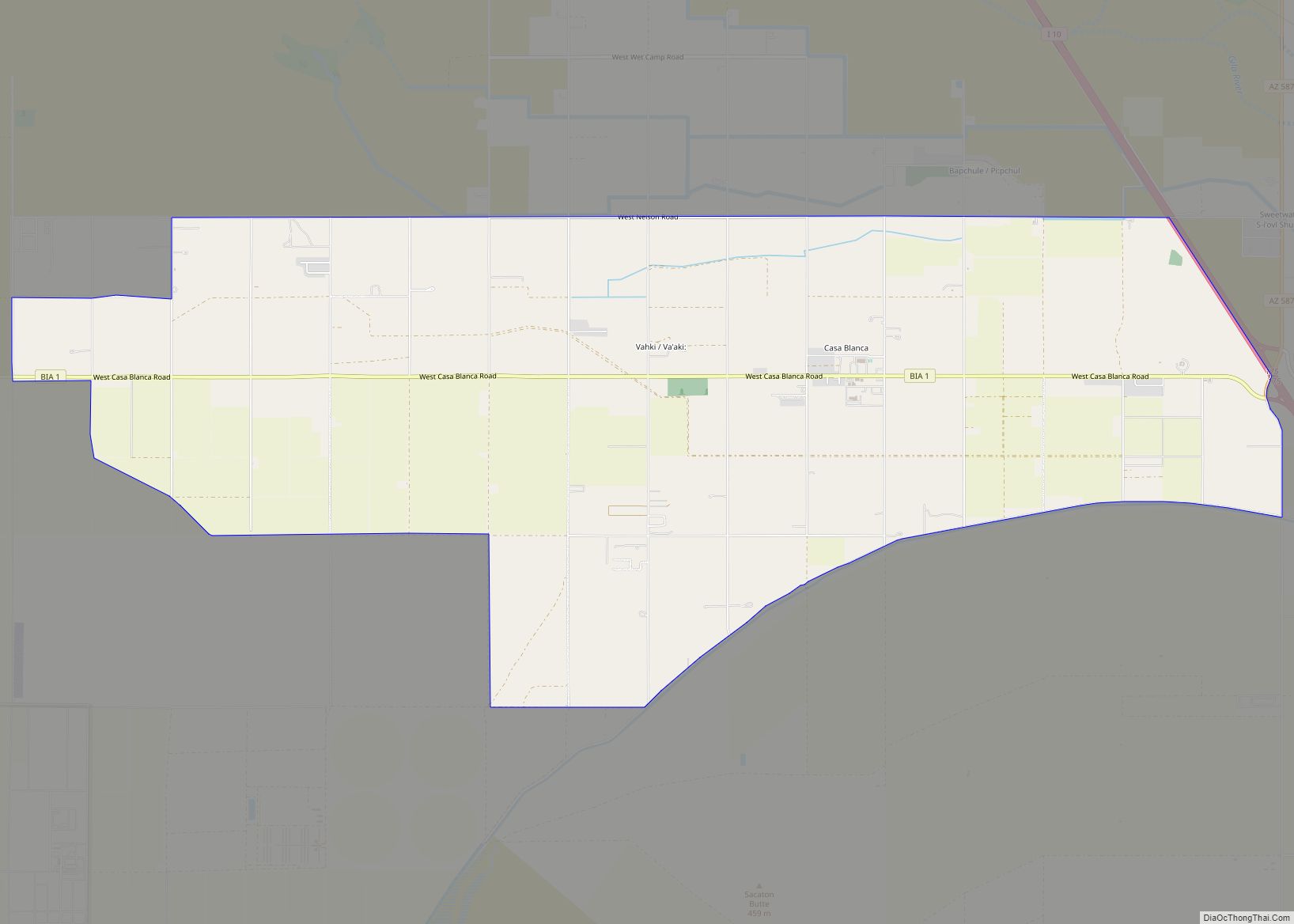
Online Interactive Map
Click on ![]() to view map in "full screen" mode.
to view map in "full screen" mode.
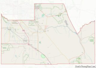
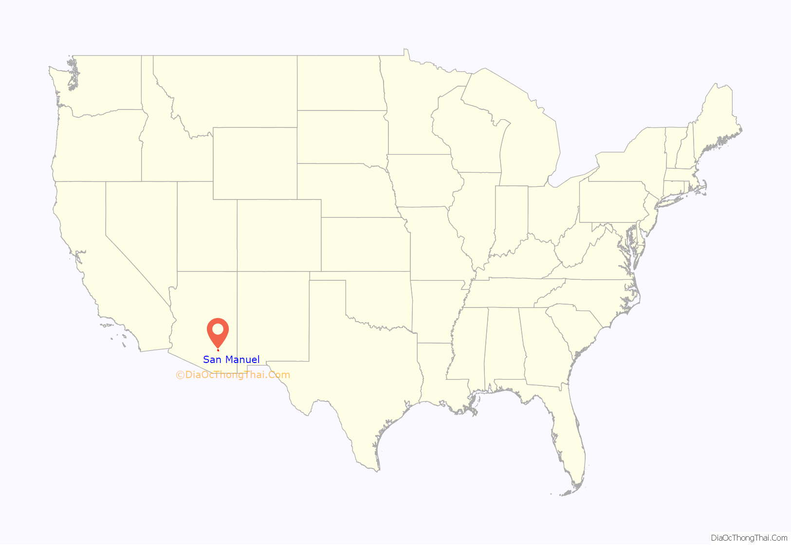
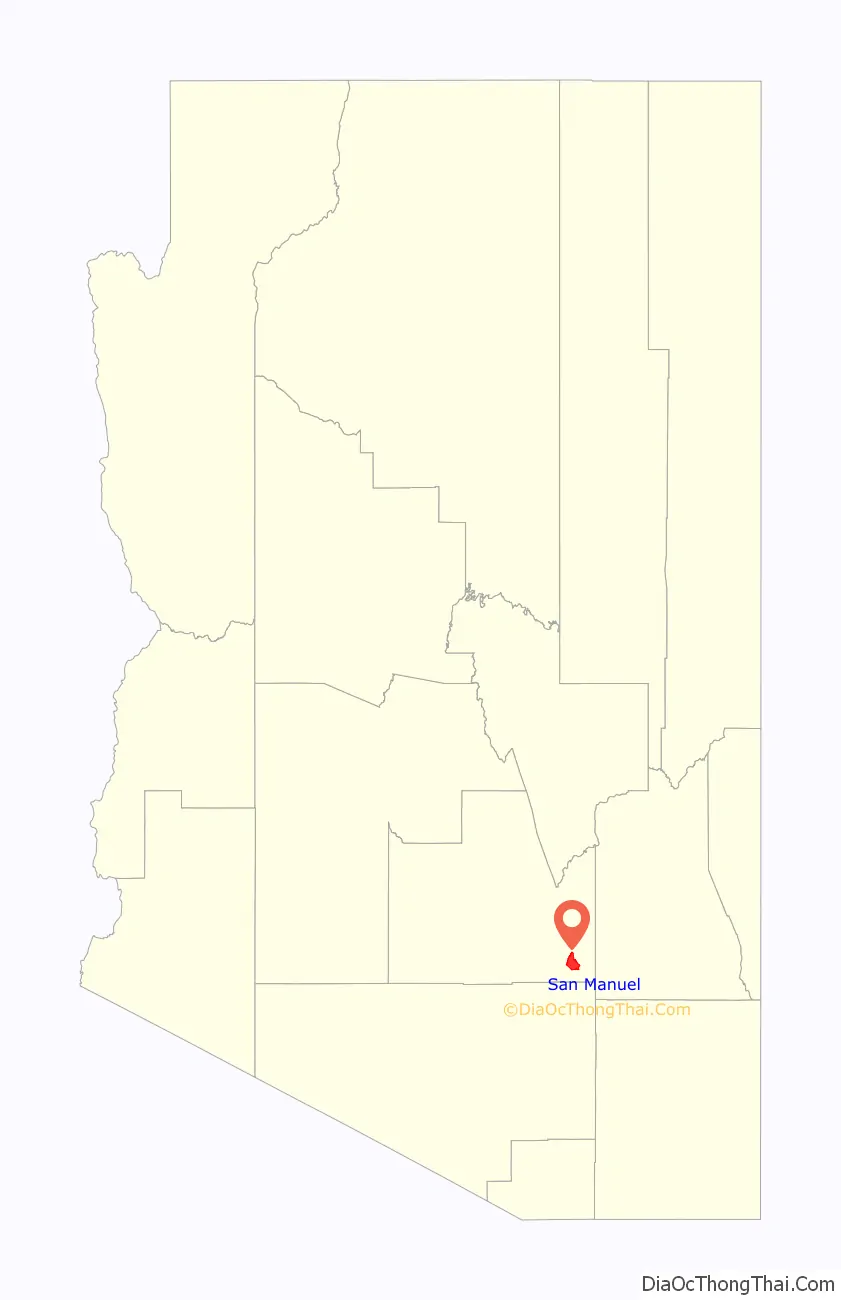
San Manuel location map. Where is San Manuel CDP?
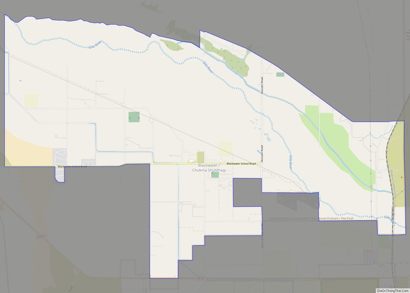
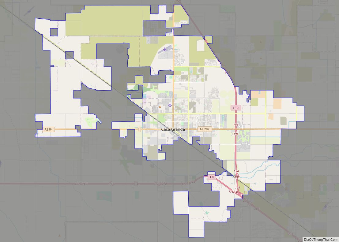
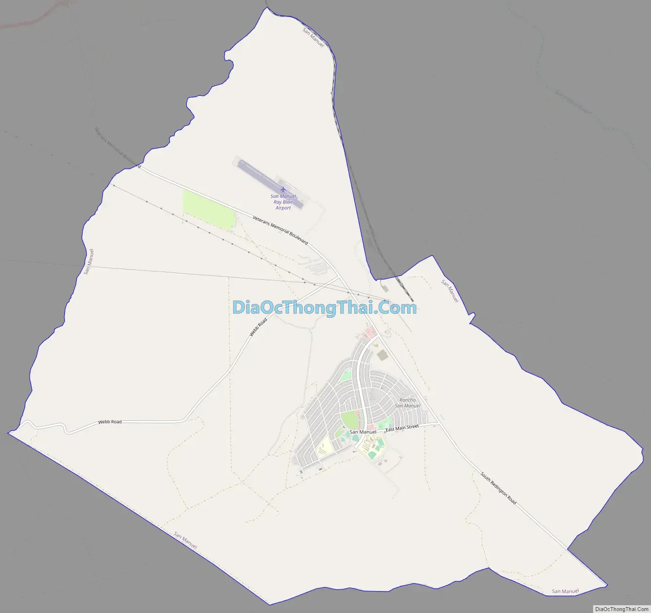
San Manuel Road Map
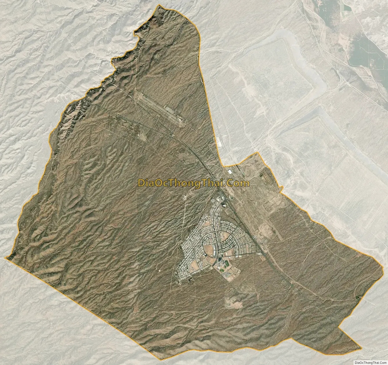
San Manuel city Satellite Map
Geography
San Manuel is located at 32°36′18″N 110°38′0″W / 32.60500°N 110.63333°W / 32.60500; -110.63333 (32.605048, -110.633340), in the San Pedro River Valley at an elevation of about 3,500 feet (1,100 m). San Manuel is approximately 45 miles (72 km) northeast of Tucson.
According to the United States Census Bureau, the CDP has a total area of 20.9 sq mi (54 km) all land.
See also
Map of Arizona State and its subdivision: Map of other states:- Alabama
- Alaska
- Arizona
- Arkansas
- California
- Colorado
- Connecticut
- Delaware
- District of Columbia
- Florida
- Georgia
- Hawaii
- Idaho
- Illinois
- Indiana
- Iowa
- Kansas
- Kentucky
- Louisiana
- Maine
- Maryland
- Massachusetts
- Michigan
- Minnesota
- Mississippi
- Missouri
- Montana
- Nebraska
- Nevada
- New Hampshire
- New Jersey
- New Mexico
- New York
- North Carolina
- North Dakota
- Ohio
- Oklahoma
- Oregon
- Pennsylvania
- Rhode Island
- South Carolina
- South Dakota
- Tennessee
- Texas
- Utah
- Vermont
- Virginia
- Washington
- West Virginia
- Wisconsin
- Wyoming