Shonto (Navajo: Shą́ą́ʼtóhí) is a census-designated place (CDP) in Navajo County, Arizona, United States, in the Navajo Nation. The population was 591 at the 2010 census.
| Name: | Shonto CDP |
|---|---|
| LSAD Code: | 57 |
| LSAD Description: | CDP (suffix) |
| State: | Arizona |
| County: | Navajo County |
| Elevation: | 6,240 ft (1,902 m) |
| Total Area: | 4.57 sq mi (11.83 km²) |
| Land Area: | 4.56 sq mi (11.81 km²) |
| Water Area: | 0.01 sq mi (0.03 km²) |
| Total Population: | 494 |
| Population Density: | 108.38/sq mi (41.85/km²) |
| ZIP code: | 86054 |
| Area code: | 928 |
| FIPS code: | 0466260 |
| GNISfeature ID: | 11241 |
| Website: | www.shonto.org |
Online Interactive Map
Click on ![]() to view map in "full screen" mode.
to view map in "full screen" mode.
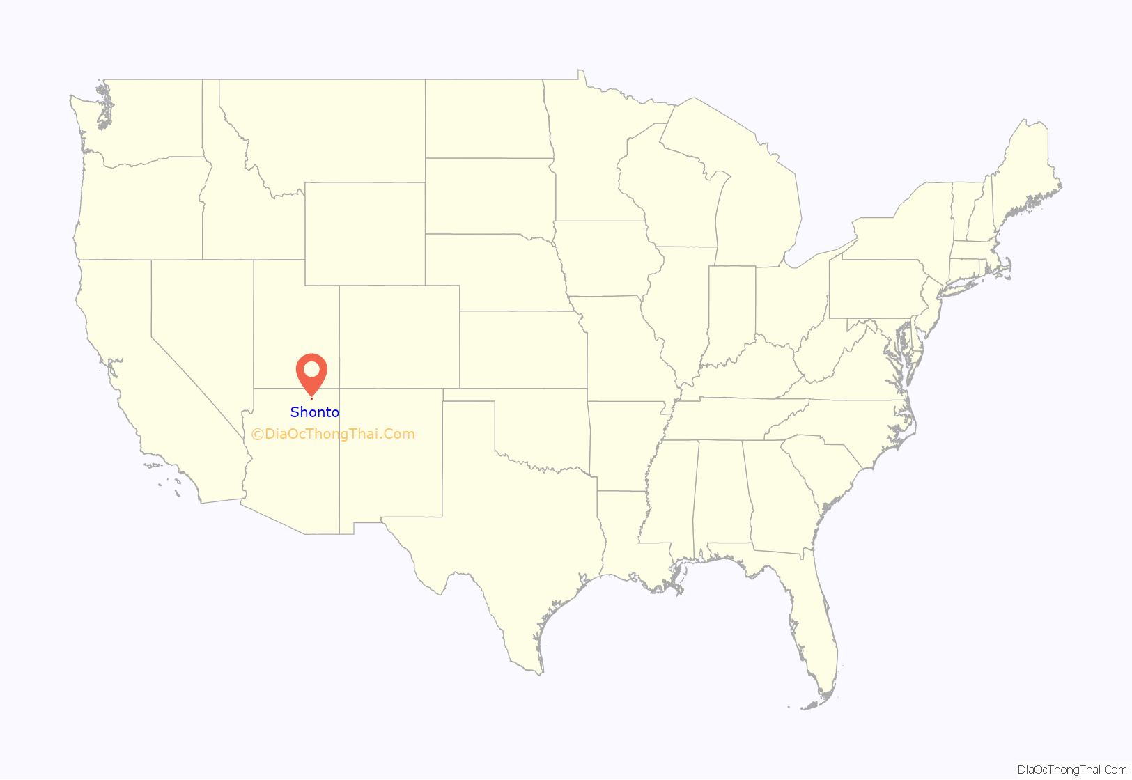
Shonto location map. Where is Shonto CDP?

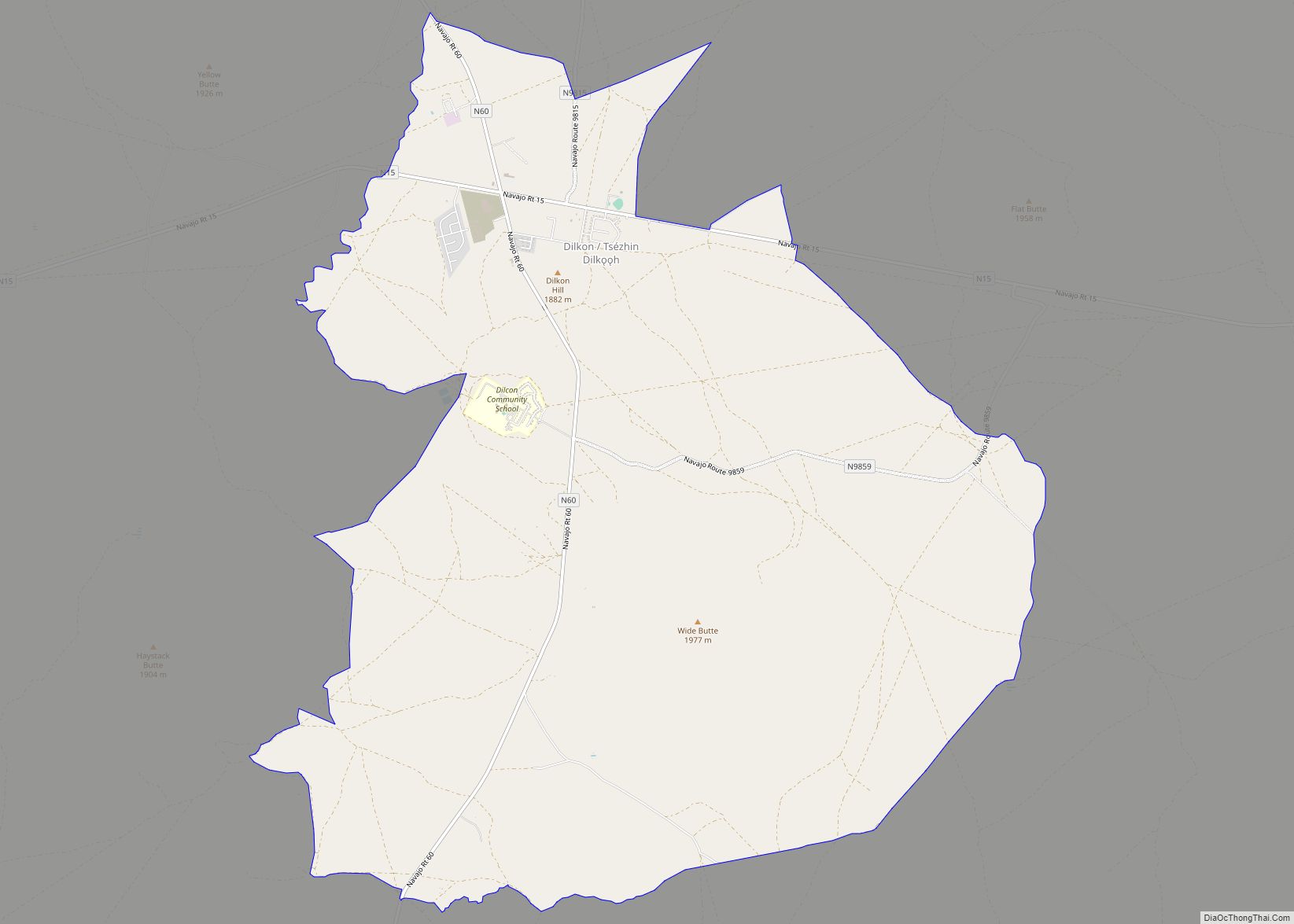
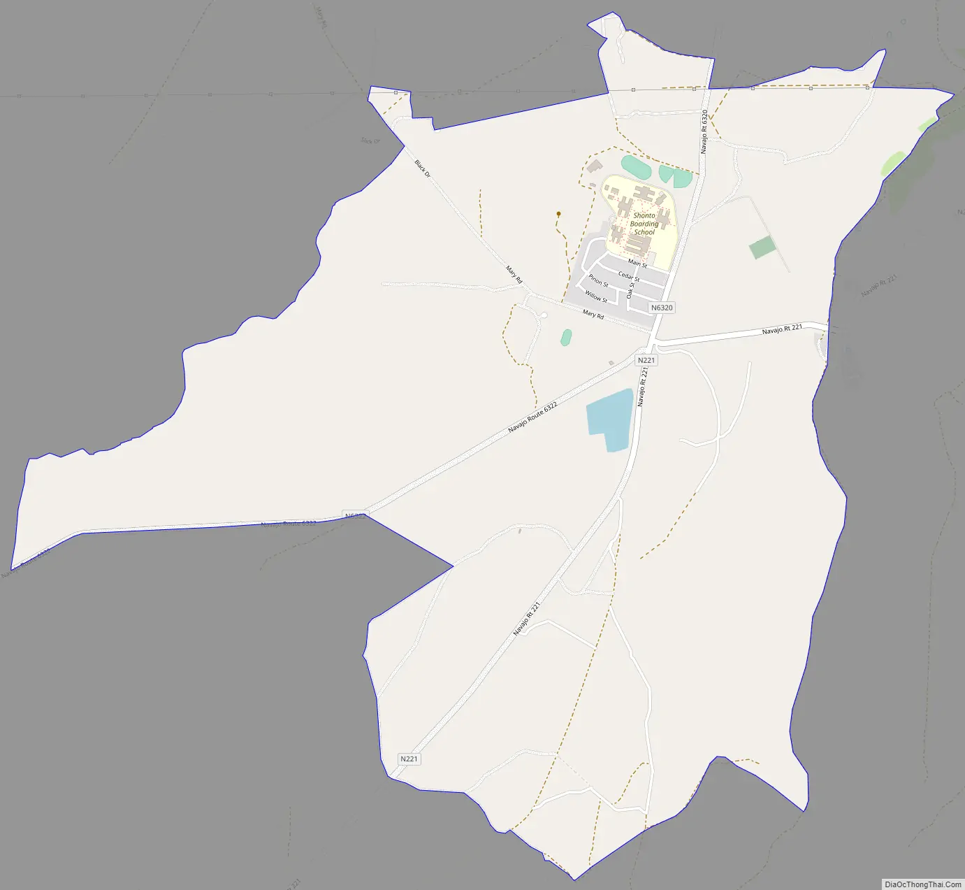
Shonto Road Map
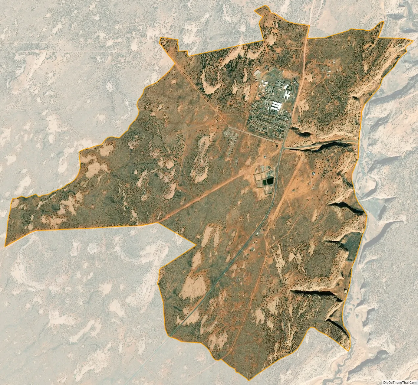
Shonto city Satellite Map
Geography
Shonto is located at 36°35′54″N 110°39′29″W / 36.59833°N 110.65806°W / 36.59833; -110.65806 (36.598209, -110.658156).
According to the United States Census Bureau, the CDP has a total area of 4.6 square miles (12 km), all land. In Shonto, the local Shonto Canyon is where the natural spring is located. It is connected to the canyons that stretch all the way to Navajo Mountain, which can be seen from Shonto. The land is rich in mineral and water deposits.
See also
Map of Arizona State and its subdivision: Map of other states:- Alabama
- Alaska
- Arizona
- Arkansas
- California
- Colorado
- Connecticut
- Delaware
- District of Columbia
- Florida
- Georgia
- Hawaii
- Idaho
- Illinois
- Indiana
- Iowa
- Kansas
- Kentucky
- Louisiana
- Maine
- Maryland
- Massachusetts
- Michigan
- Minnesota
- Mississippi
- Missouri
- Montana
- Nebraska
- Nevada
- New Hampshire
- New Jersey
- New Mexico
- New York
- North Carolina
- North Dakota
- Ohio
- Oklahoma
- Oregon
- Pennsylvania
- Rhode Island
- South Carolina
- South Dakota
- Tennessee
- Texas
- Utah
- Vermont
- Virginia
- Washington
- West Virginia
- Wisconsin
- Wyoming