St. Michaels (Navajo: Tsʼíhootso) is a chapter of the Navajo Nation and a census-designated place (CDP) in Apache County, Arizona, United States. The Navajo Nation Government Campus is located within the chapter at Window Rock.
The population was 1,443 at the 2010 census.
| Name: | St. Michaels CDP |
|---|---|
| LSAD Code: | 57 |
| LSAD Description: | CDP (suffix) |
| State: | Arizona |
| County: | Apache County |
| Elevation: | 6,740 ft (2,054 m) |
| Total Area: | 3.82 sq mi (9.89 km²) |
| Land Area: | 3.82 sq mi (9.89 km²) |
| Water Area: | 0.00 sq mi (0.00 km²) |
| Total Population: | 1,384 |
| Population Density: | 362.40/sq mi (139.92/km²) |
| ZIP code: | 86511 |
| FIPS code: | 0462420 |
| GNISfeature ID: | 10723 |
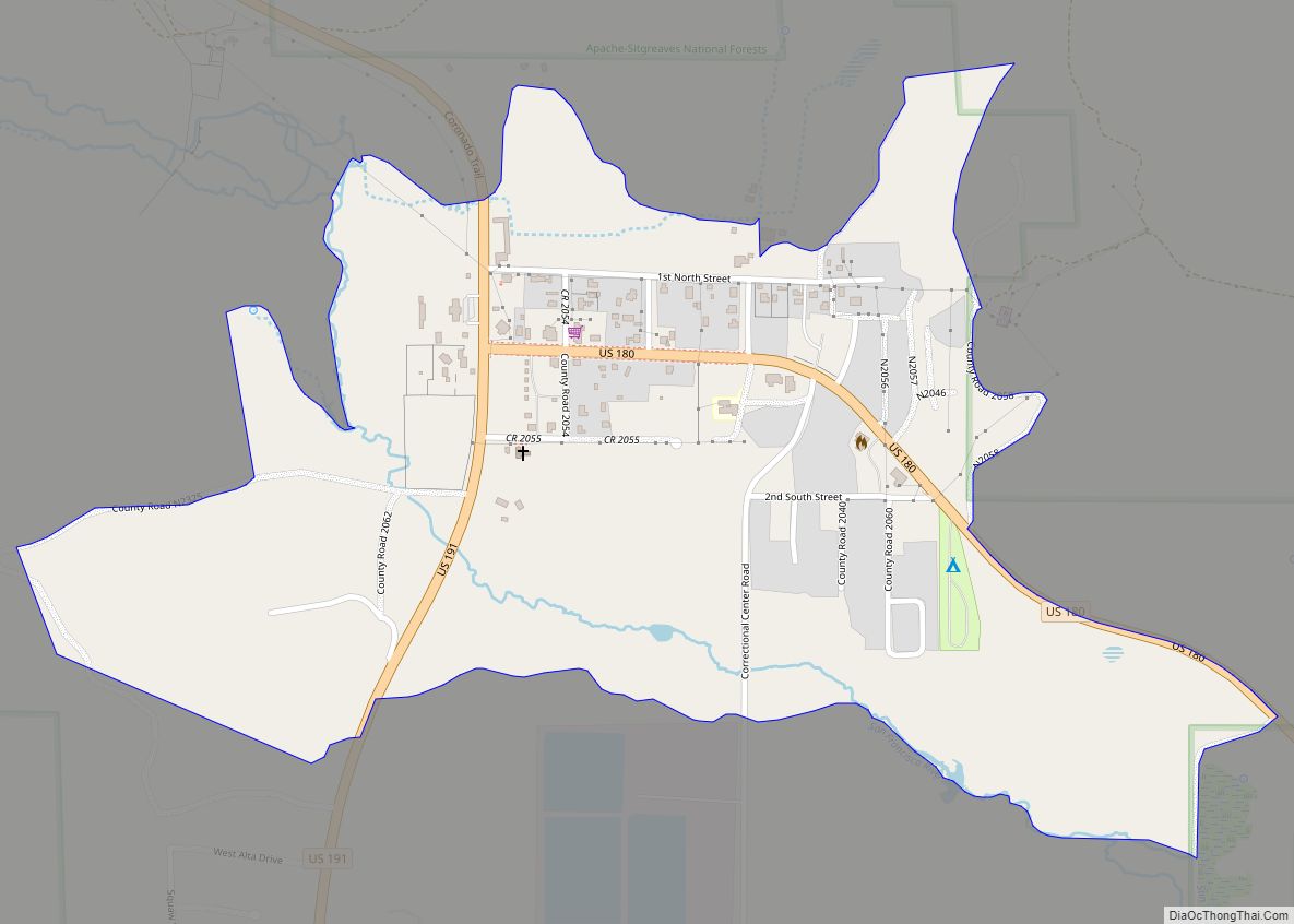
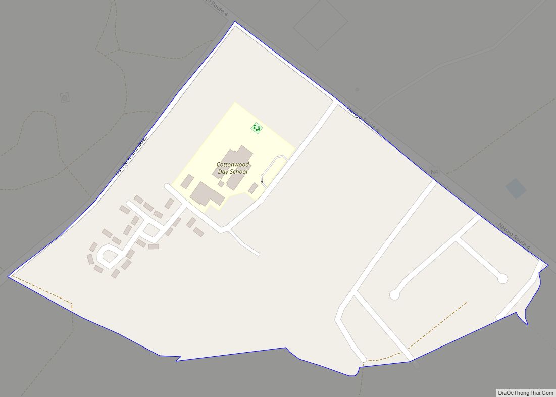
Online Interactive Map
Click on ![]() to view map in "full screen" mode.
to view map in "full screen" mode.
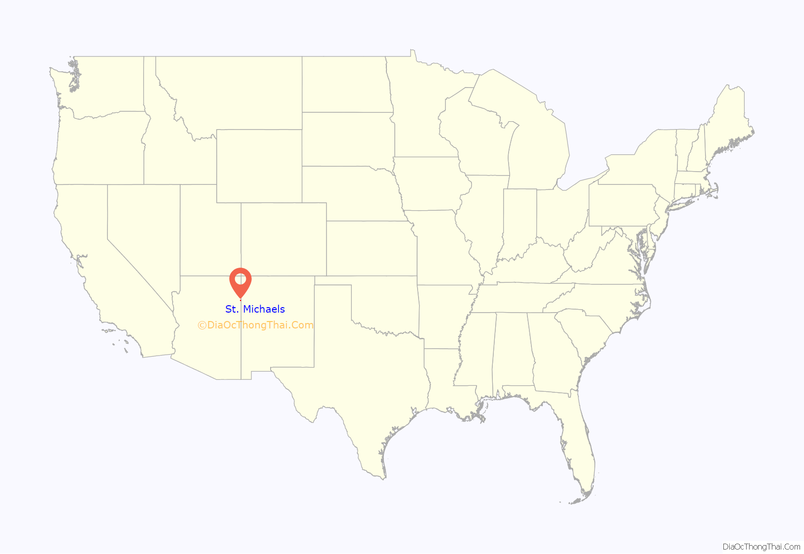
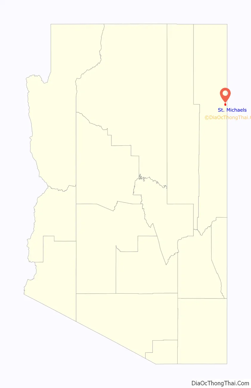
St. Michaels location map. Where is St. Michaels CDP?
History
The St. Michaels area is referred to as Ts’ithootso in the Navajo language and translates to “area that extends out in yellow and green.” The microclimate was originally referred to by its Spanish translation Ciénega Amarilla (Spanish: “yellow meadow”) describing the late summer yellow flowers and grass. The area was first noted by the U.S. military in 1850 when Lt. James Harvey Simpson named it Sieneguilla de Maria, its Spanish name misheard by a non-native speaker.
In the 1850s a planned ambush against local Navajos was thwarted by a man who went on to become a signatory to the Navajo Treaty of 1868. Delgadito (Chách’oshnééz ((“Tall Syphilis”)) successfully alerted Navajos preparing for a prisoner exchange with Mexican slave-holders.
Saint Michael Convent
Construction on the Franciscan Mission began in 1896 using financing from Rev. Mother Katharine Drexel, founder of the Sisters of the Blessed Sacrament. Rev. Anselm Weber took over construction on October 11, 1897, adopting the name Saint Michaels for the area (from Navajo Tsʼíhootso: “Green Meadow”). St. Michael Parish would be officially founded in 1898.
In 1910, Fr. Berard Haile prepared a Navajo ethnologic dictionary at the Franciscan Mission.
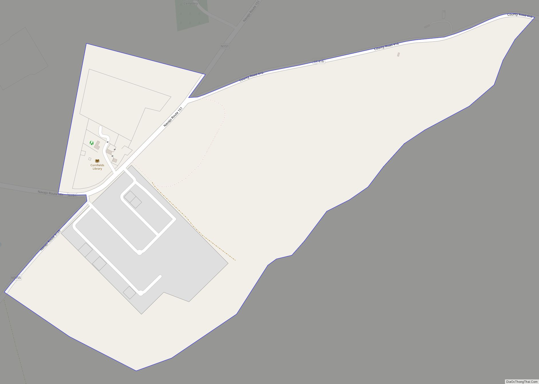
St. Michaels Road Map
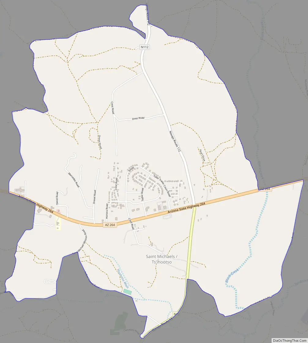
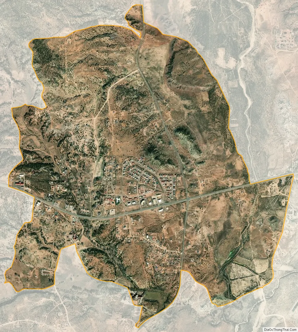
St. Michaels city Satellite Map
Geography
St. Michaels is located at 35°39′45″N 109°5′42″W / 35.66250°N 109.09500°W / 35.66250; -109.09500 (35.662418, -109.094957) on the eastern boundary of the Defiance Plateau. The community is located on the western side of the Black Creek Valley and Black Creek, a north tributary to the southwest-flowing Rio Puerco.
According to the United States Census Bureau, the CDP has a total area of 3.8 square miles (9.9 km), all land.
See also
Map of Arizona State and its subdivision: Map of other states:- Alabama
- Alaska
- Arizona
- Arkansas
- California
- Colorado
- Connecticut
- Delaware
- District of Columbia
- Florida
- Georgia
- Hawaii
- Idaho
- Illinois
- Indiana
- Iowa
- Kansas
- Kentucky
- Louisiana
- Maine
- Maryland
- Massachusetts
- Michigan
- Minnesota
- Mississippi
- Missouri
- Montana
- Nebraska
- Nevada
- New Hampshire
- New Jersey
- New Mexico
- New York
- North Carolina
- North Dakota
- Ohio
- Oklahoma
- Oregon
- Pennsylvania
- Rhode Island
- South Carolina
- South Dakota
- Tennessee
- Texas
- Utah
- Vermont
- Virginia
- Washington
- West Virginia
- Wisconsin
- Wyoming