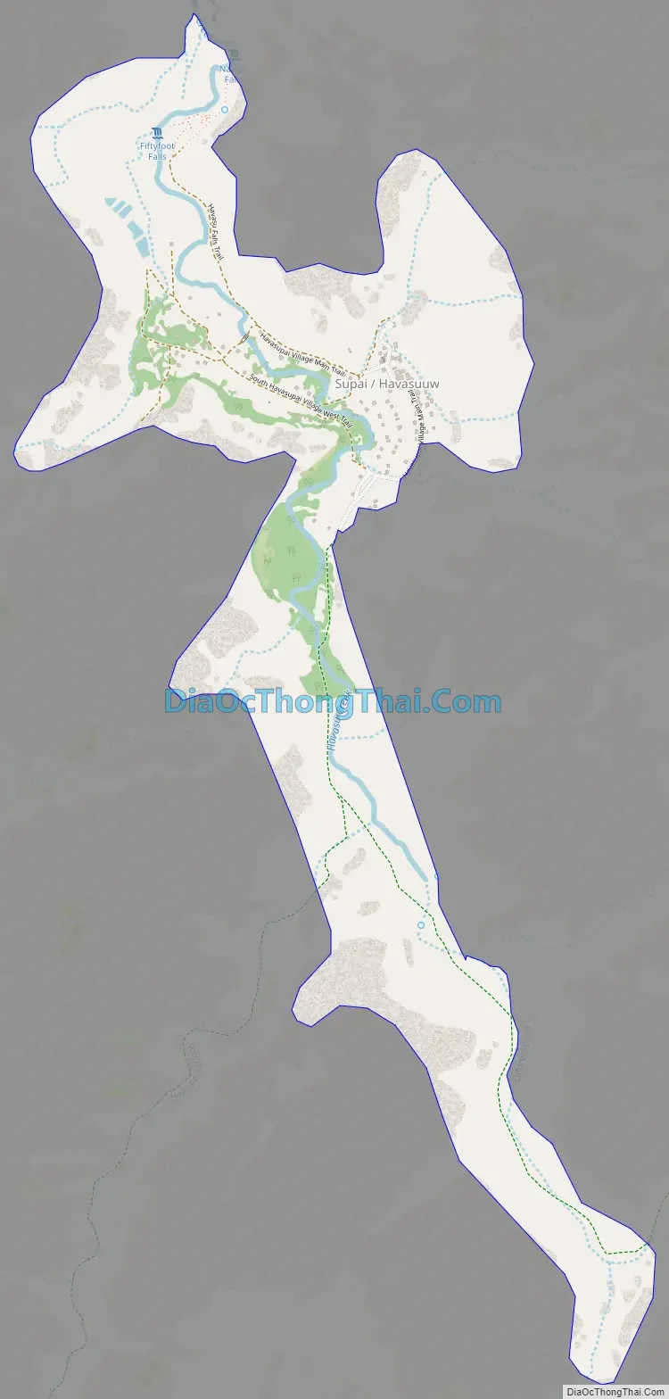
Supai (Havasupai: Havasuuw) is a census-designated place (CDP) in Coconino County, Arizona, United States, within the Grand Canyon.
As of the 2010 census, the CDP had a population of 208. The capital of the Havasupai Indian Reservation, Supai is the only place in the United States where mail is still carried in and out by mules.
Supai has been referred to as “the most remote community” in the contiguous United States by the U.S. Department of Agriculture. It is accessible only by helicopter, on foot or by mule. Supai is 8 miles (13 km) from the nearest road and has no automobiles in the community.
| Name: | Supai CDP |
|---|---|
| LSAD Code: | 57 |
| LSAD Description: | CDP (suffix) |
| State: | Arizona |
| County: | Coconino County |
| Elevation: | 3,195 ft (974 m) |
| Total Area: | 1.72 sq mi (4.46 km²) |
| Land Area: | 1.72 sq mi (4.46 km²) |
| Water Area: | 0.00 sq mi (0.00 km²) |
| Total Population: | 0 |
| Population Density: | 0.00/sq mi (0.00/km²) |
| ZIP code: | 86435 |
| Area code: | 928 |
| FIPS code: | 0471230 |
| GNISfeature ID: | 12003 |
| Website: | theofficialhavasupaitribe.com |
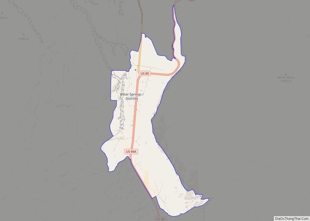
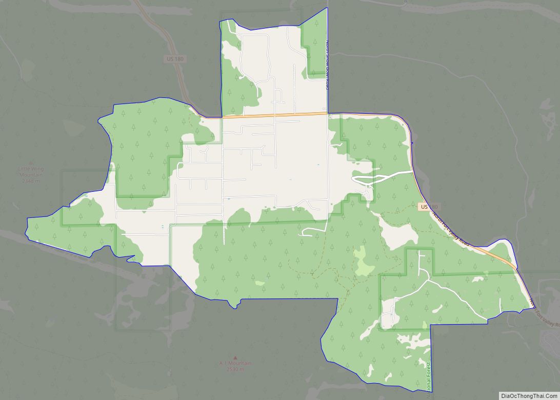
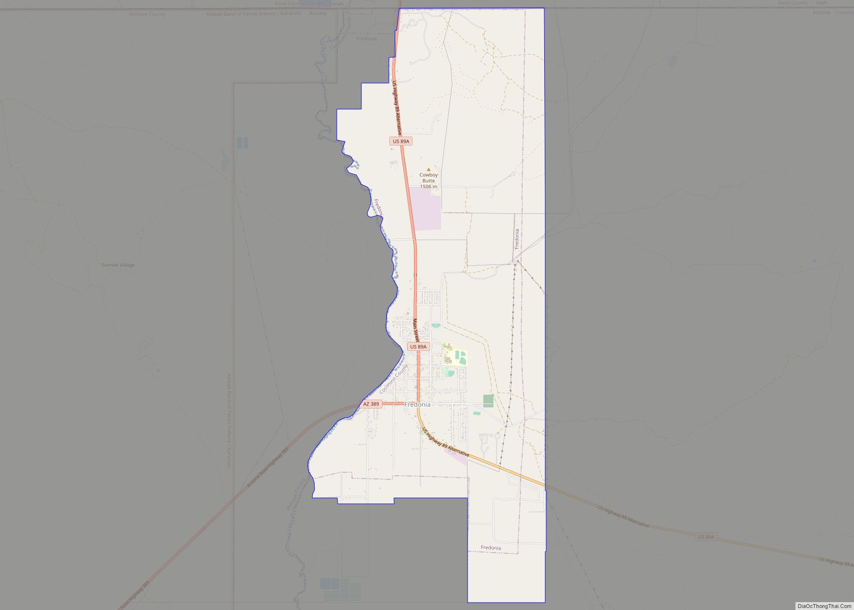
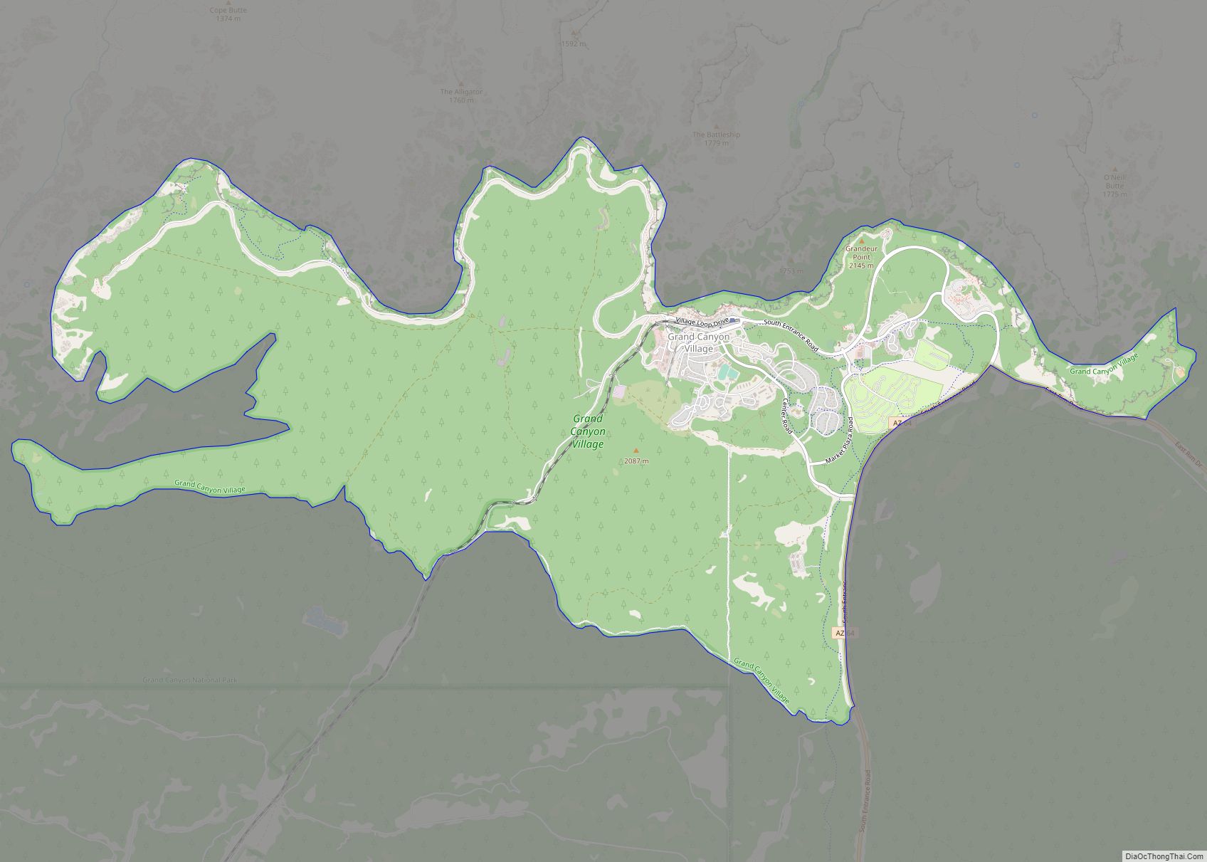
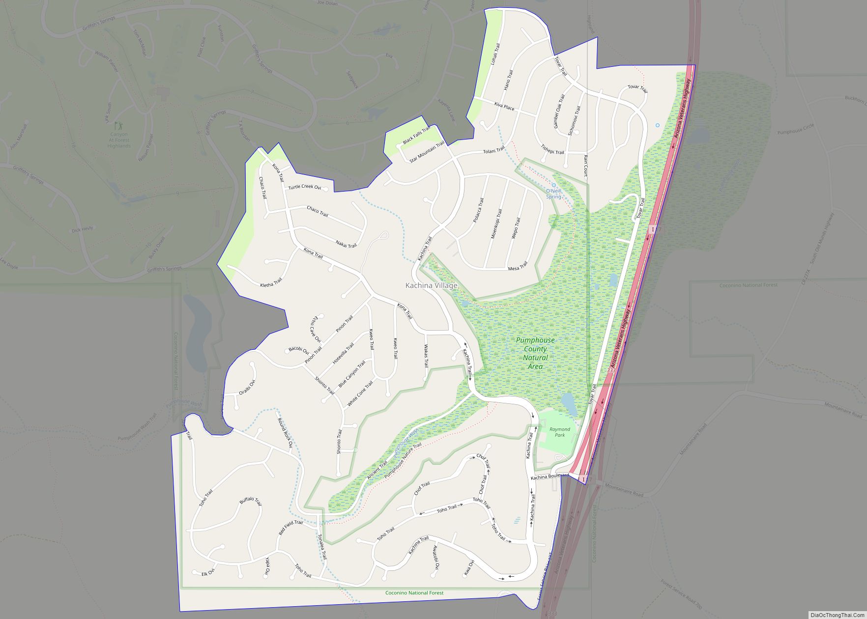
Online Interactive Map
Click on ![]() to view map in "full screen" mode.
to view map in "full screen" mode.
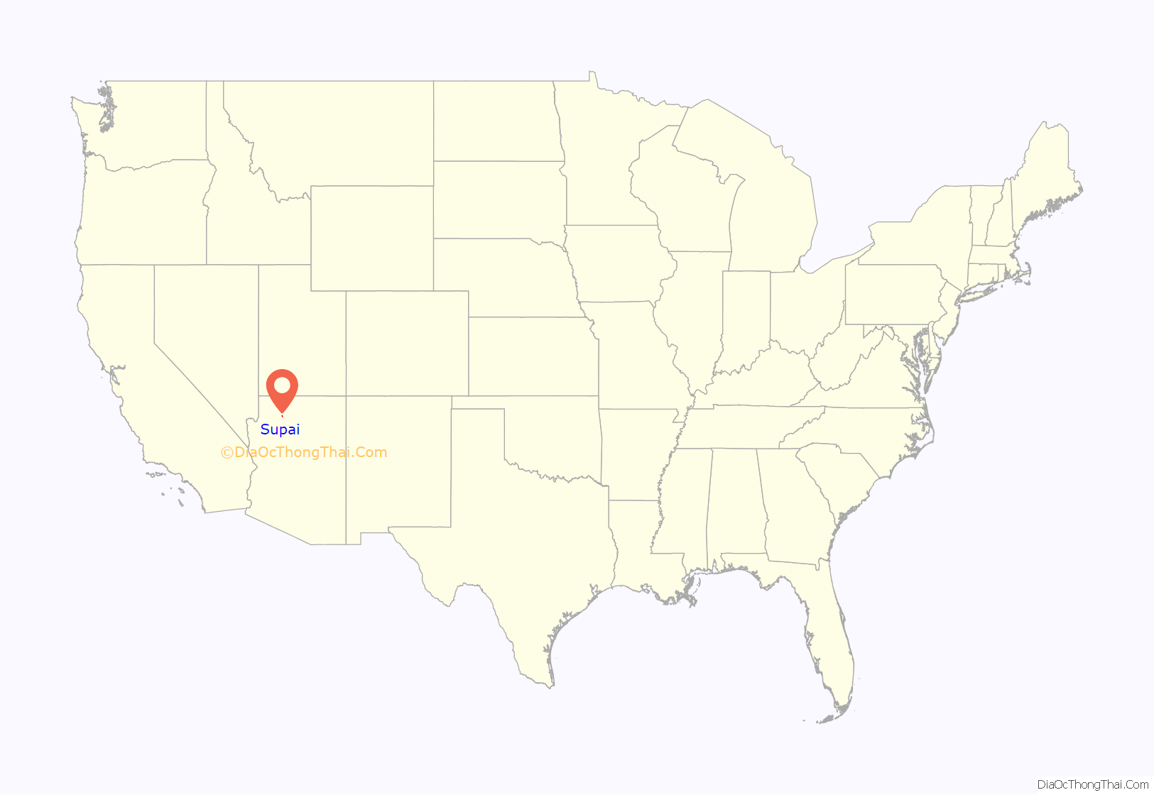
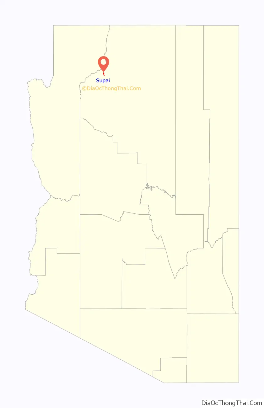
Supai location map. Where is Supai CDP?
History
In 1910 there was a flood of Supai which affected the town.
In the 1960s Martin Goodfriend, a tourist, began to advocate for the Supai people, and a columnist of the Arizona Republic, Don Dedera, wrote articles about Goodfriend’s findings. Dedera stated that Goodfriend countered a view that Supai was a kind of “Shangri-la”.
Tourists and some residents were evacuated from Supai and surrounding area on August 17 and 18, 2008, due to flooding of Havasu Creek complicated by the failure of the earthen Redlands Dam (subsequent to the main flooding event) after a night of heavy rainfall. Evacuees were taken to Peach Springs, Arizona. More heavy rains were expected and a flash flood warning was put into effect, necessitating the evacuation, according to the National Park Service. The floods were significant enough to attract coverage from international media.
Damage to the trails, bridges, and campground was severe enough for Havasupai to close visitor access to the village, campground, and falls until the spring of 2009. Further flooding in 2010 resulted in damage to repairs made previously and closures effective until May 2011. In July 2018, flash flooding forced the helicopter evacuation of 200 visitors. All tourism was suspended from March 2020 until February 2022 due to the COVID-19 pandemic.
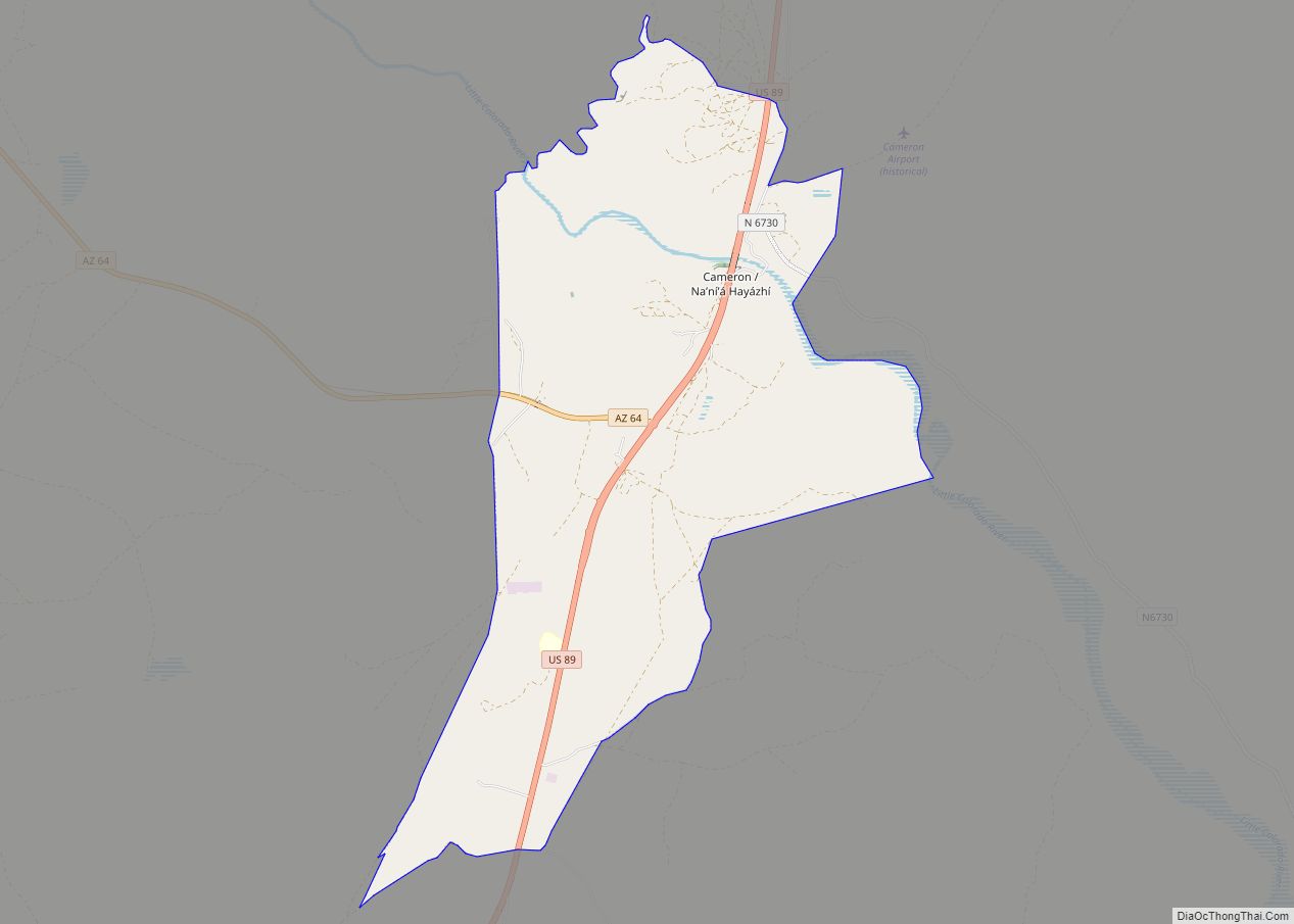
Supai Road Map
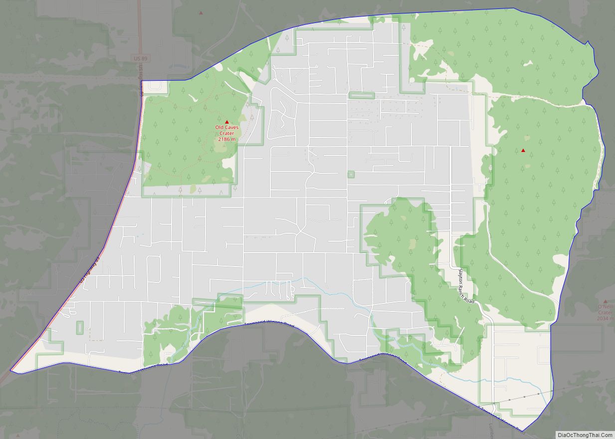
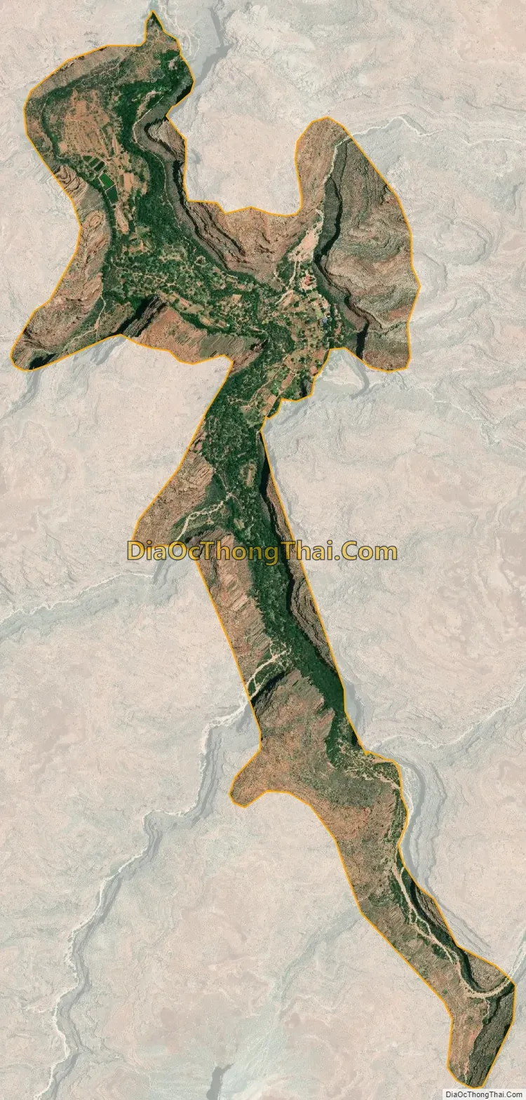
Supai city Satellite Map
Geography
Located within the Grand Canyon, Supai is only accessible by foot, pack animal or helicopter. It is the only place in the United States where mules still carry the mail, most of which is food.
According to the United States Census Bureau, the CDP has a total area of 1.7 square miles (4.4 km), all land. It lies 3,195 feet (974 m) above sea level.
Climate
See also
Map of Arizona State and its subdivision: Map of other states:- Alabama
- Alaska
- Arizona
- Arkansas
- California
- Colorado
- Connecticut
- Delaware
- District of Columbia
- Florida
- Georgia
- Hawaii
- Idaho
- Illinois
- Indiana
- Iowa
- Kansas
- Kentucky
- Louisiana
- Maine
- Maryland
- Massachusetts
- Michigan
- Minnesota
- Mississippi
- Missouri
- Montana
- Nebraska
- Nevada
- New Hampshire
- New Jersey
- New Mexico
- New York
- North Carolina
- North Dakota
- Ohio
- Oklahoma
- Oregon
- Pennsylvania
- Rhode Island
- South Carolina
- South Dakota
- Tennessee
- Texas
- Utah
- Vermont
- Virginia
- Washington
- West Virginia
- Wisconsin
- Wyoming