Teec Nos Pos (Navajo: T’iis Názbąs) is a census-designated place (CDP) in Apache County, Arizona, United States. The population was 507 at the 2020 census. It is the western terminus of U.S. Route 64.
| Name: | Teec Nos Pos CDP |
|---|---|
| LSAD Code: | 57 |
| LSAD Description: | CDP (suffix) |
| State: | Arizona |
| County: | Apache County |
| Elevation: | 5,210 ft (1,588 m) |
| Total Area: | 14.30 sq mi (37.04 km²) |
| Land Area: | 14.29 sq mi (37.01 km²) |
| Water Area: | 0.01 sq mi (0.03 km²) |
| Total Population: | 507 |
| Population Density: | 35.48/sq mi (13.70/km²) |
| ZIP code: | 86514, 86535, 86544 |
| Area code: | 928 |
| FIPS code: | 0472560 |
| GNISfeature ID: | 0012219 |
Online Interactive Map
Click on ![]() to view map in "full screen" mode.
to view map in "full screen" mode.
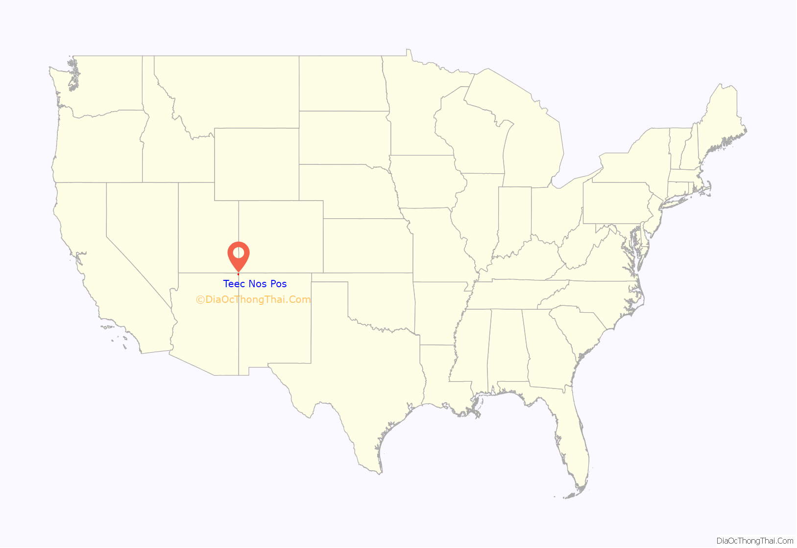
Teec Nos Pos location map. Where is Teec Nos Pos CDP?
History
The community of Teec Nos Pos was originally located several miles to the south of its present location, and was known as Tisnasbas, and so named officially by the U.S. Geological Survey in 1915.
The population has since moved north to the junction of U.S. Highways 160 and 64. In the 1930s, the Indian Irrigation Service constructed two concrete diversion dams on nearby T’iisnazbas Creek. The dams irrigated approximately 400 acres (1.6 km) of Navajo farmland. It was renamed Teec Nos Pas in 1960 and Teec Nos Pos in 1983.
Teec Nos Pos is the closest settlement of any size to the Four Corners Monument, which is approximately 7 miles (11 km) to the northeast.
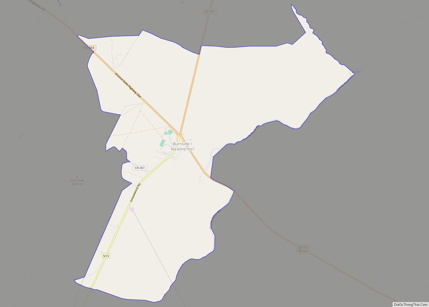
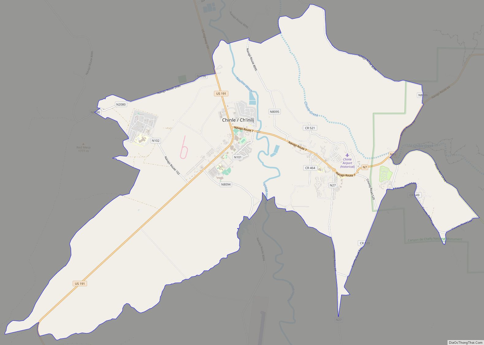
Teec Nos Pos Road Map
Teec Nos Pos city Satellite Map
Geography
Teec Nos Pos is located at 36°55′23″N 109°5′18″W / 36.92306°N 109.08833°W / 36.92306; -109.08833 (36.923142, -109.088265).
According to the United States Census Bureau, the CDP has a total area of 14.3 square miles (37.0 km), of which 0.012 square miles (0.03 km), or 0.07%, is water.
Climate
According to the Köppen Climate Classification system, Teec Nos Pos has a cold desert climate, abbreviated “BWk” on climate maps. The hottest temperature recorded in Teec Nos Pos was 106 °F (41.1 °C) on July 12, 2021, while the coldest temperature recorded was −18 °F (−27.8 °C) on January 3, 1974.
See also
Map of Arizona State and its subdivision: Map of other states:- Alabama
- Alaska
- Arizona
- Arkansas
- California
- Colorado
- Connecticut
- Delaware
- District of Columbia
- Florida
- Georgia
- Hawaii
- Idaho
- Illinois
- Indiana
- Iowa
- Kansas
- Kentucky
- Louisiana
- Maine
- Maryland
- Massachusetts
- Michigan
- Minnesota
- Mississippi
- Missouri
- Montana
- Nebraska
- Nevada
- New Hampshire
- New Jersey
- New Mexico
- New York
- North Carolina
- North Dakota
- Ohio
- Oklahoma
- Oregon
- Pennsylvania
- Rhode Island
- South Carolina
- South Dakota
- Tennessee
- Texas
- Utah
- Vermont
- Virginia
- Washington
- West Virginia
- Wisconsin
- Wyoming
