Tsaile (Navajo: Tsééhílį́) is a census-designated place (CDP) in Apache County, Arizona, United States, on the Navajo Nation. The population was 1,205 at the 2010 census.
Tsaile is the home of the main campus of Diné College (formerly Navajo Community College), a tribally controlled community college. It has seven other campuses across the Navajo Nation.
Tsaile Public School (Grades K-8) is located in Tsaile. Students attend Chinle High School in Chinle, Arizona, for high school, which is about 25 miles away via Navajo Route 64.
| Name: | Tsaile CDP |
|---|---|
| LSAD Code: | 57 |
| LSAD Description: | CDP (suffix) |
| State: | Arizona |
| County: | Apache County |
| Elevation: | 7,142 ft (2,177 m) |
| Total Area: | 6.10 sq mi (15.81 km²) |
| Land Area: | 6.05 sq mi (15.66 km²) |
| Water Area: | 0.06 sq mi (0.15 km²) |
| Total Population: | 1,408 |
| Population Density: | 232.88/sq mi (89.92/km²) |
| ZIP code: | 86556 |
| Area code: | 928 |
| FIPS code: | 0475660 |
| GNISfeature ID: | 0012750 |
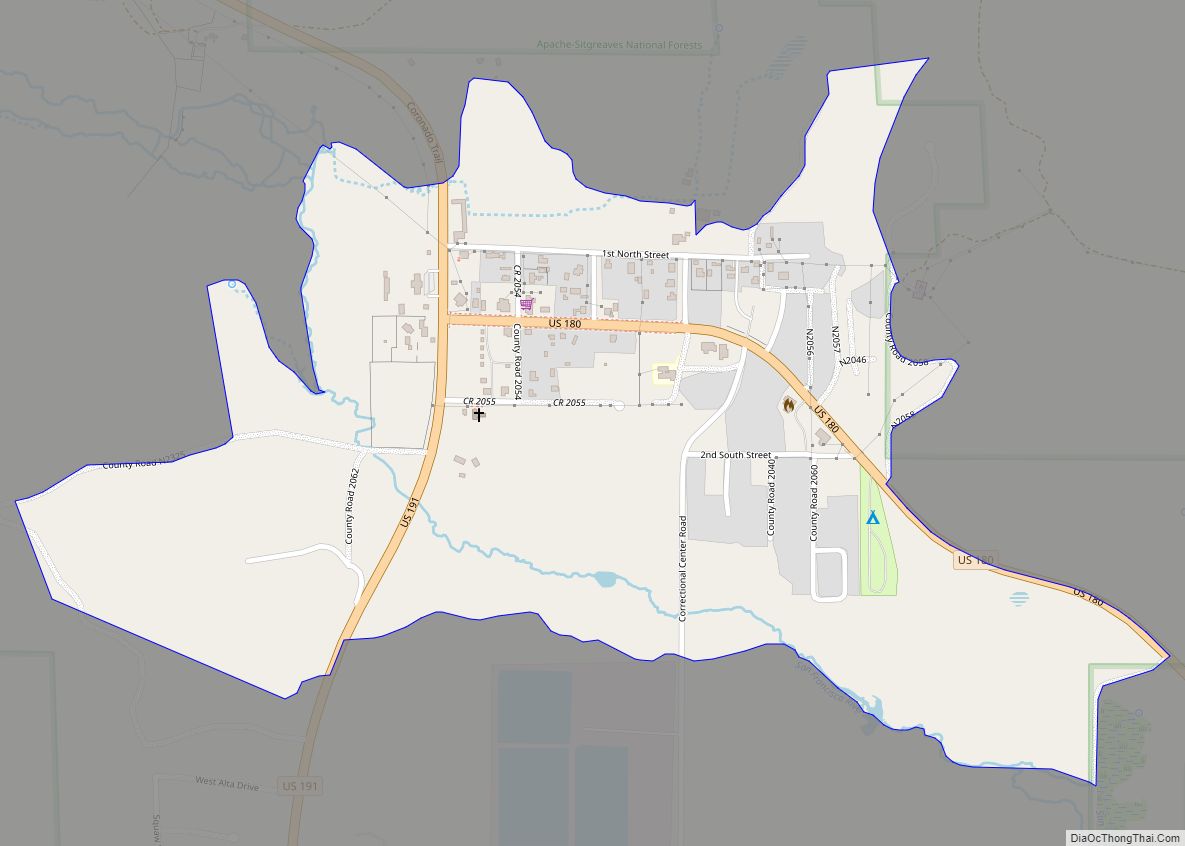
Online Interactive Map
Click on ![]() to view map in "full screen" mode.
to view map in "full screen" mode.
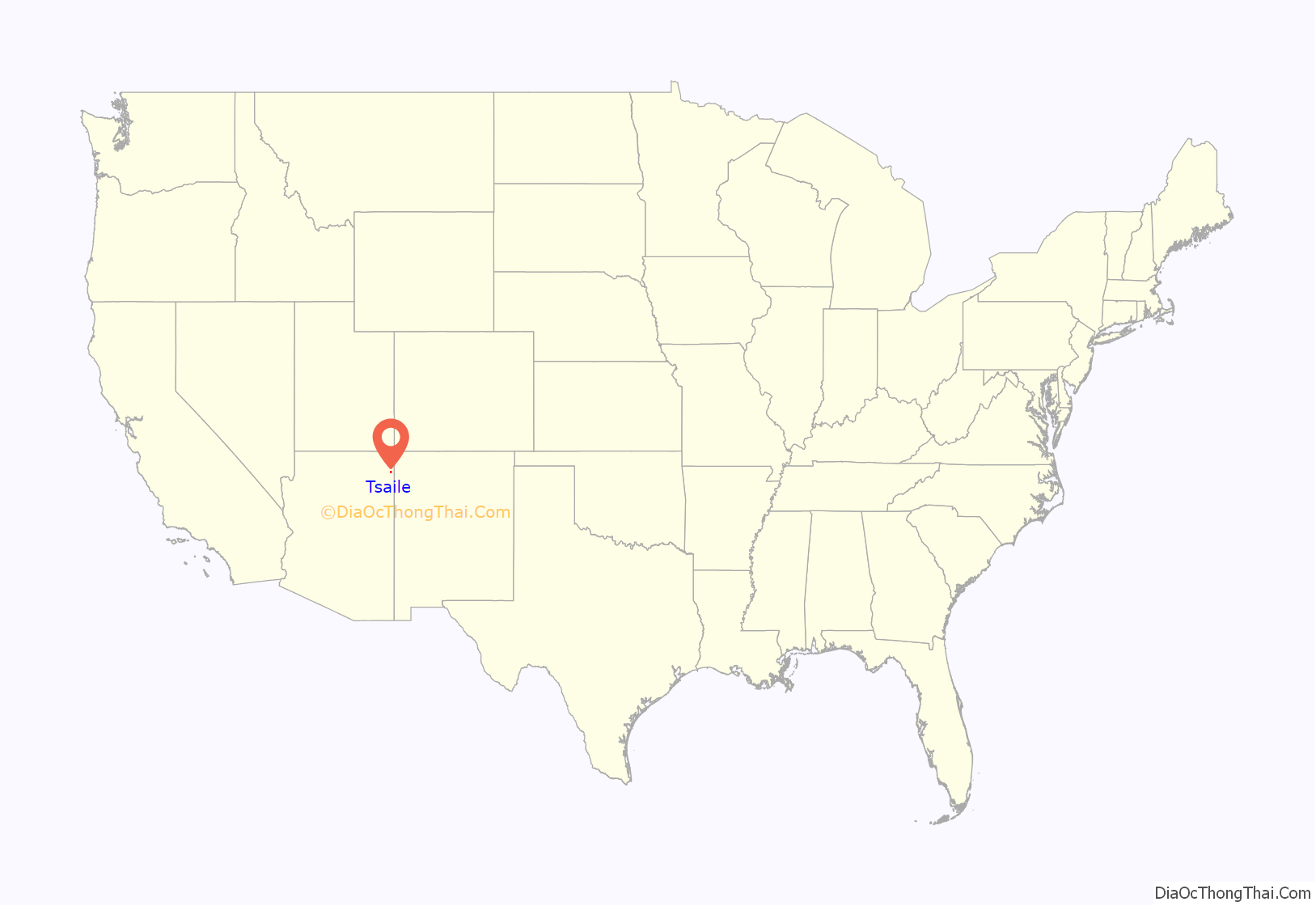
Tsaile location map. Where is Tsaile CDP?
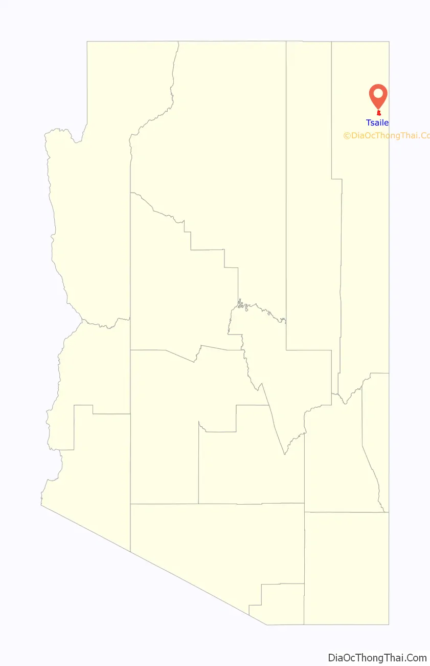
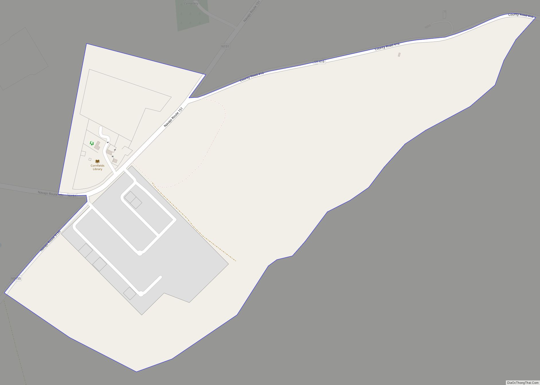
Tsaile Road Map
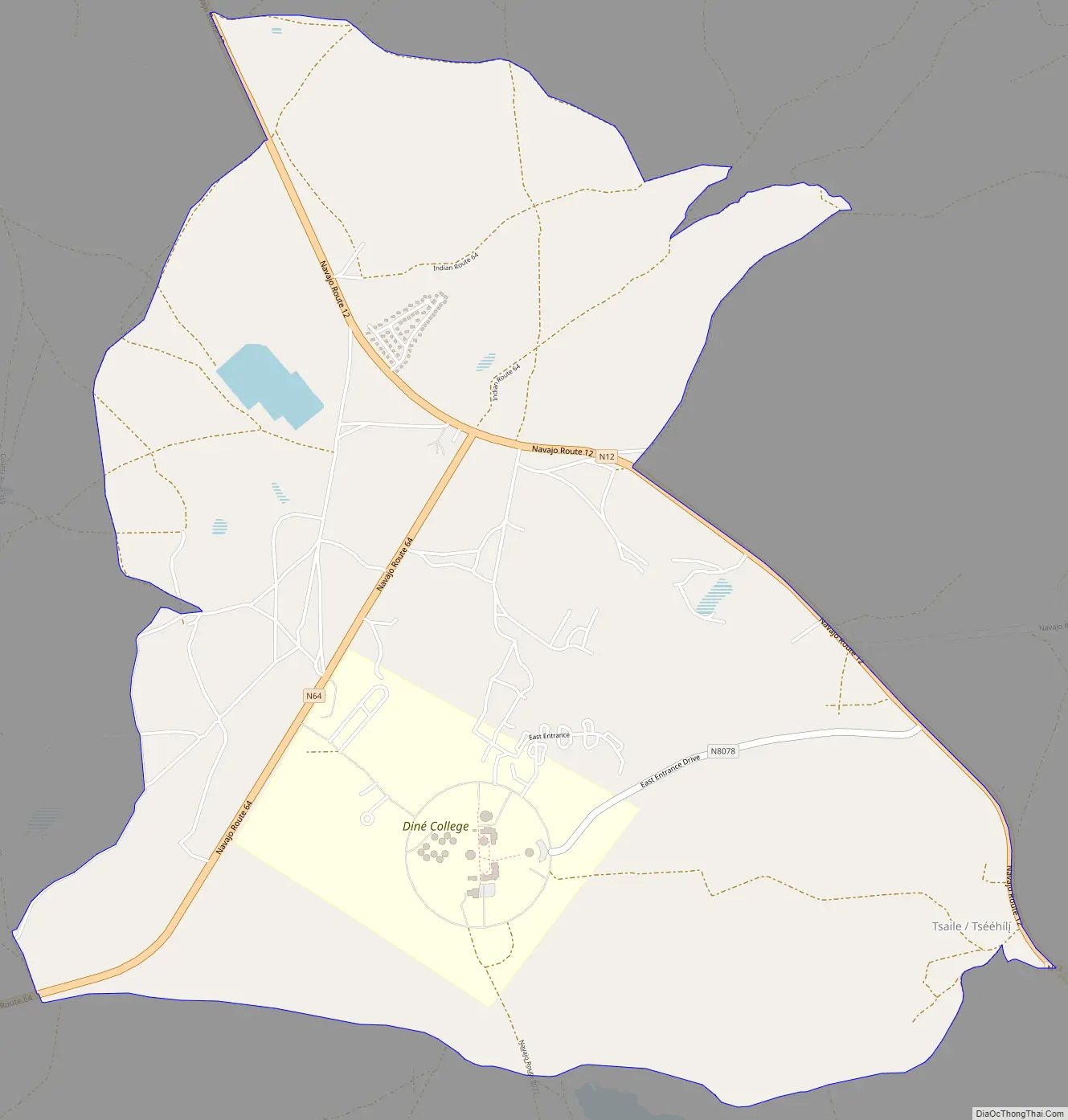
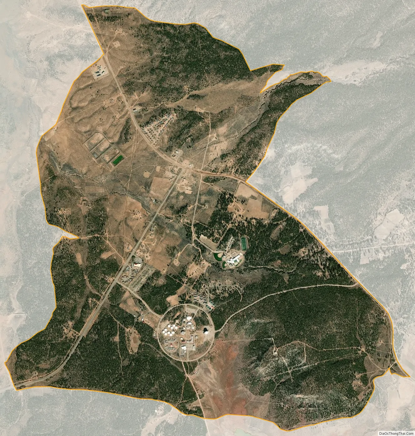
Tsaile city Satellite Map
Geography
Tsaile is located at 36°18′17″N 109°13′24″W / 36.30472°N 109.22333°W / 36.30472; -109.22333 (36.304753, -109.223385), about 29 miles (47 km) east of Chinle, just outside the boundaries of Canyon de Chelly National Monument.
According to the United States Census Bureau, the CDP has a total area of 6.0 square miles (15.5 km), of which 5.9 square miles (15.4 km) is land and 0.039 square miles (0.1 km), or 0.88%, is water.
See also
Map of Arizona State and its subdivision: Map of other states:- Alabama
- Alaska
- Arizona
- Arkansas
- California
- Colorado
- Connecticut
- Delaware
- District of Columbia
- Florida
- Georgia
- Hawaii
- Idaho
- Illinois
- Indiana
- Iowa
- Kansas
- Kentucky
- Louisiana
- Maine
- Maryland
- Massachusetts
- Michigan
- Minnesota
- Mississippi
- Missouri
- Montana
- Nebraska
- Nevada
- New Hampshire
- New Jersey
- New Mexico
- New York
- North Carolina
- North Dakota
- Ohio
- Oklahoma
- Oregon
- Pennsylvania
- Rhode Island
- South Carolina
- South Dakota
- Tennessee
- Texas
- Utah
- Vermont
- Virginia
- Washington
- West Virginia
- Wisconsin
- Wyoming