Tubac is a census-designated place (CDP) in Santa Cruz County, Arizona, United States. The population was 1,191 at the 2010 census. The place name “Tubac” is an English borrowing from a Hispanicized form of the O’odham name Cuwak, which translates into English as “place of dark water”. When first taken into Spanish speech, it was spelled Tubaca. Finally, over time, the latter “a” was dropped. Tubac is situated on the Santa Cruz River.
Tubac was the original Spanish colonial garrison in Arizona. It was depopulated during the O’odham Uprising in the 18th century. During the 19th century, the area was repopulated by miners, farmers and ranchers, but the town of Tubac is best known today as an artists’ colony.
| Name: | Tubac CDP |
|---|---|
| LSAD Code: | 57 |
| LSAD Description: | CDP (suffix) |
| State: | Arizona |
| County: | Santa Cruz County |
| Elevation: | 3,209 ft (978 m) |
| Total Area: | 10.85 sq mi (28.10 km²) |
| Land Area: | 10.85 sq mi (28.09 km²) |
| Water Area: | 0.00 sq mi (0.01 km²) |
| Total Population: | 1,581 |
| Population Density: | 145.75/sq mi (56.28/km²) |
| ZIP code: | 85640, 85646 |
| Area code: | 520 |
| FIPS code: | 0475940 |
| GNISfeature ID: | 0035489 |
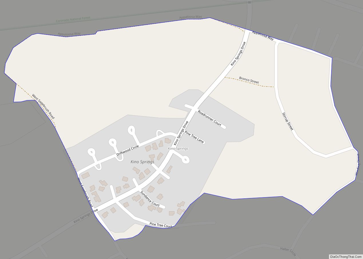
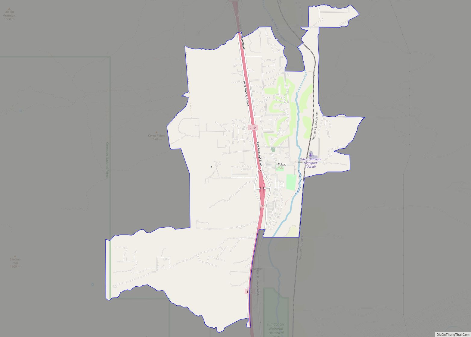
Online Interactive Map
Click on ![]() to view map in "full screen" mode.
to view map in "full screen" mode.
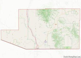
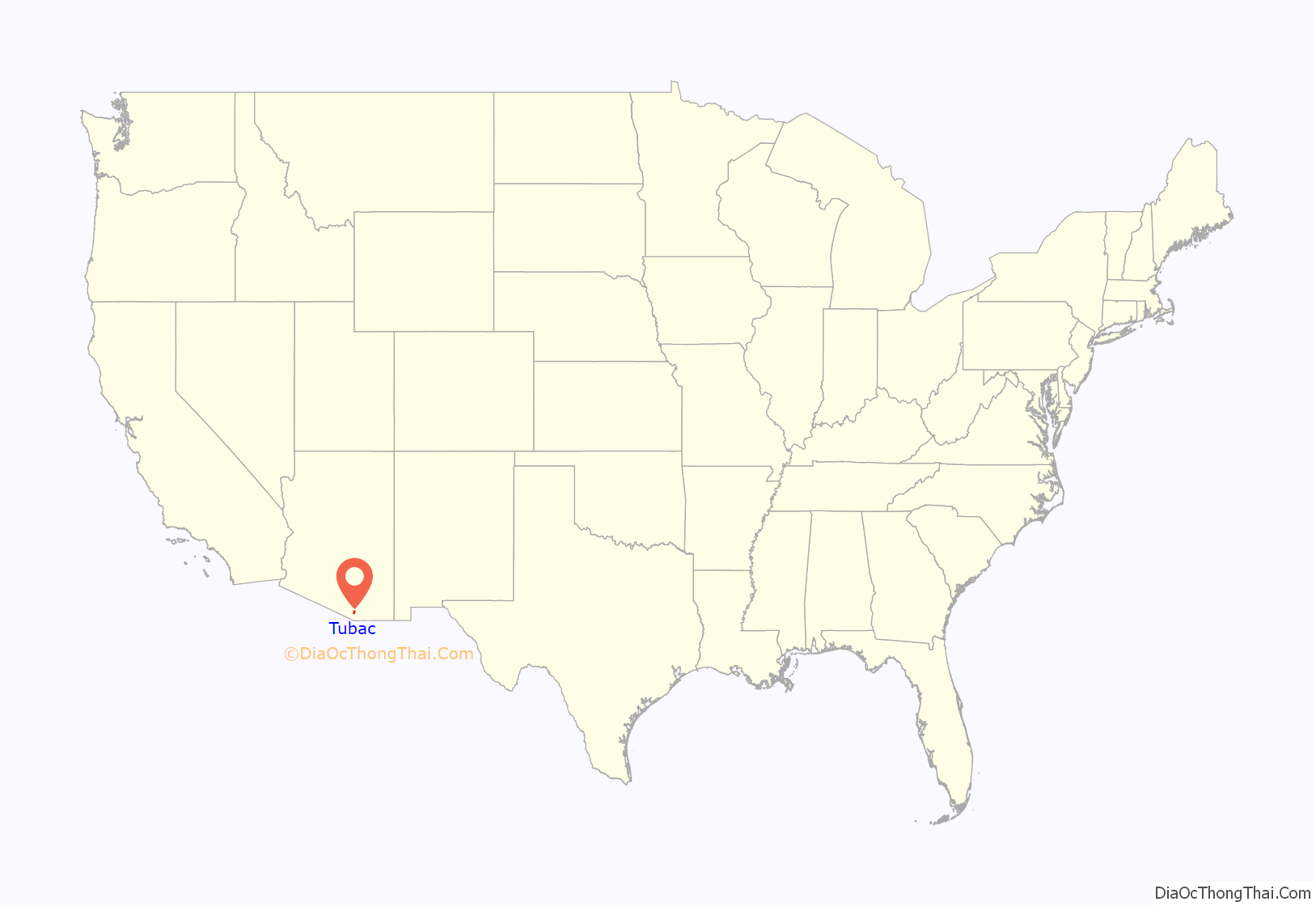
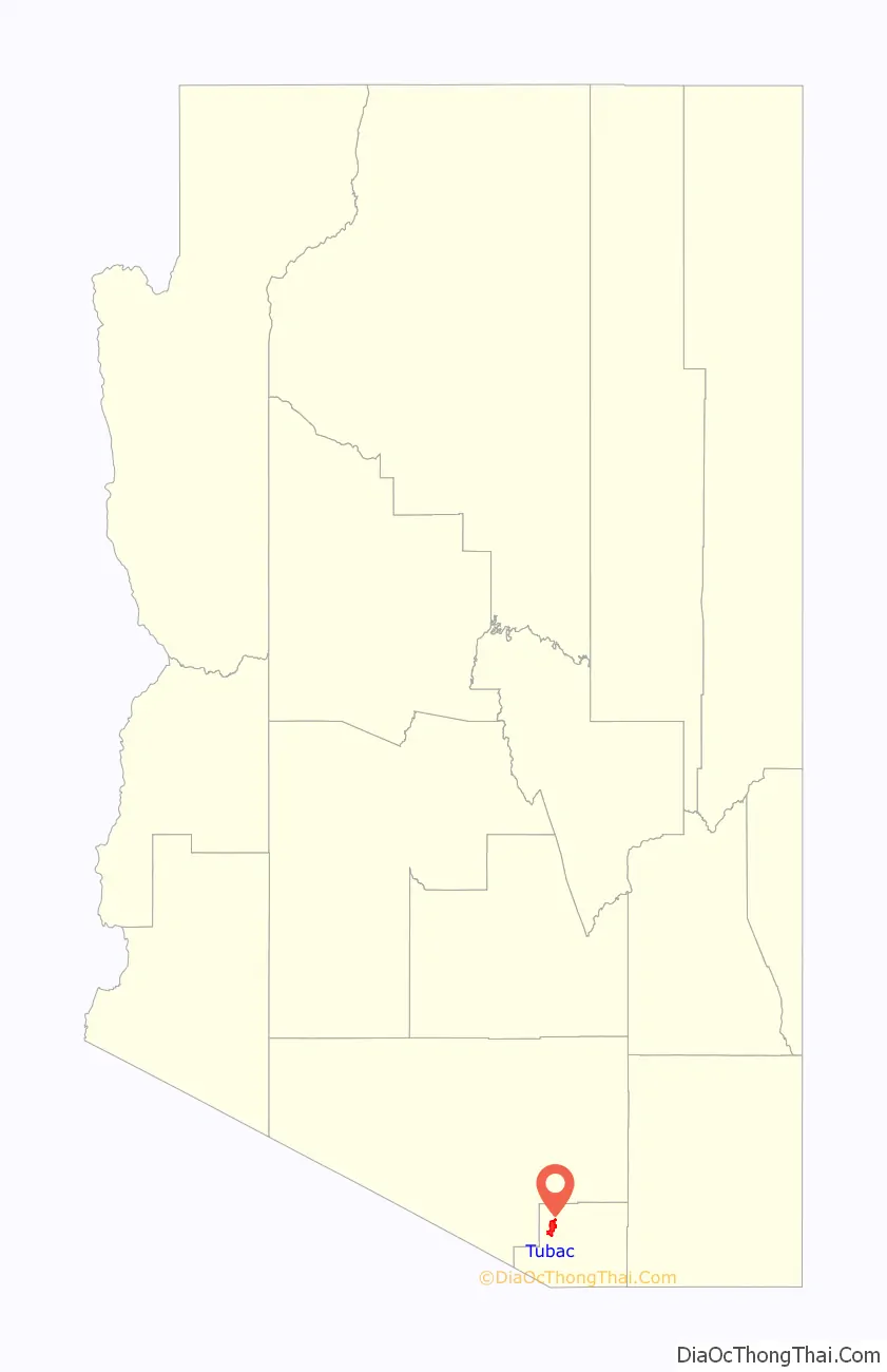
Tubac location map. Where is Tubac CDP?
History
Established in 1752 as a Spanish presidio, the first Spanish colonial garrison in what is now Arizona, Tubac was one of the stops on the Camino Real (the “Royal Road”) from Mexico to the Spanish settlements in California.
Tubac’s most famous Spanish resident was Juan Bautista de Anza. While stationed at Tubac (1760–1776), de Anza built the chapel of Santa Gertrudis, the foundations of which lie beneath today’s St. Ann’s Church.
Apaches attacked the town repeatedly in the 1840s, forcing the Sonoran Mexicans to abandon both Tumacacori and Tubac.
Tubac was the scene of a four-day siege in 1861, between Tubac’s male population, Confederate militia and Apache warriors.
The Confederates won and the Confederate flag used by the headquarters in Richmond was raised. When Union troops then started to approach Tucson the Confederate troops left Tubac. There the town laid abandoned; grass grew in the streets and the adobe houses crumbled away.
In the 1930s–1960s Tubac became an art colony. Painter Dale Nichols opened an art school in the small desert village in 1948 and restored some of Tubac’s historic buildings. Students included watercolorist Al Romo and sculptor Bob Brisley. In 1955, artist Ross Stefan established a studio in the village. In 1961, the Santa Cruz Valley Art Association was formed with 80 members and the group founded the Tubac Festival of the Arts in 1964. Other significant artists in the Village included Sophie and Harwood Steiger, Hal Empie and Hugh Cabot.
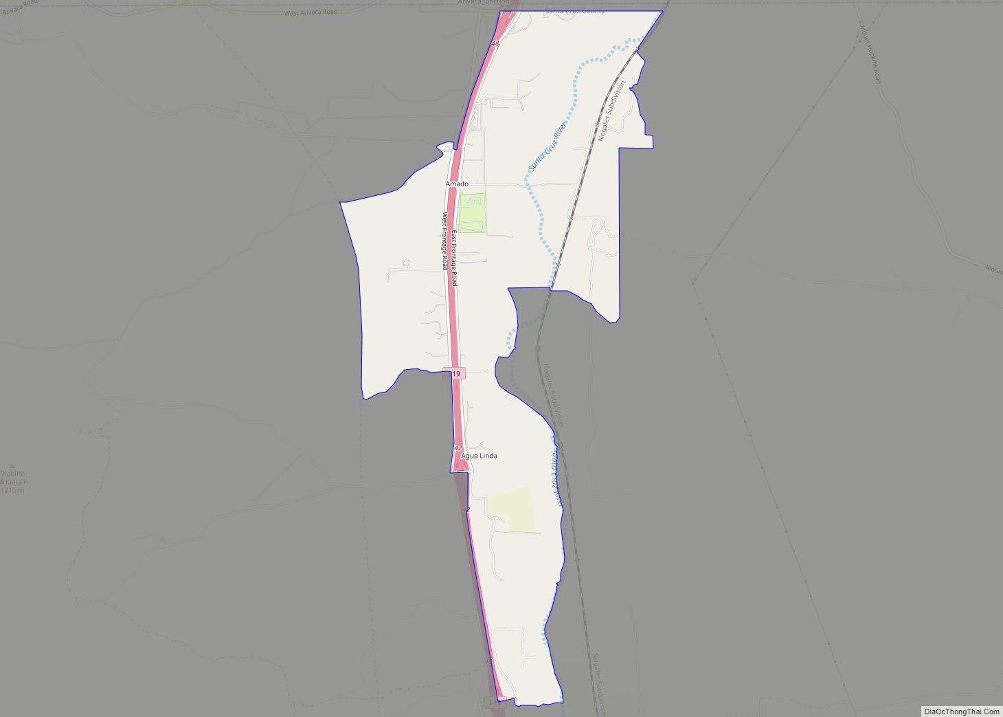
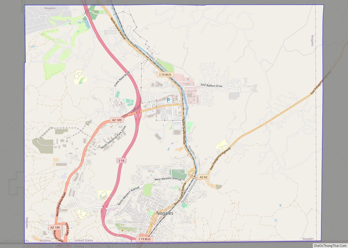
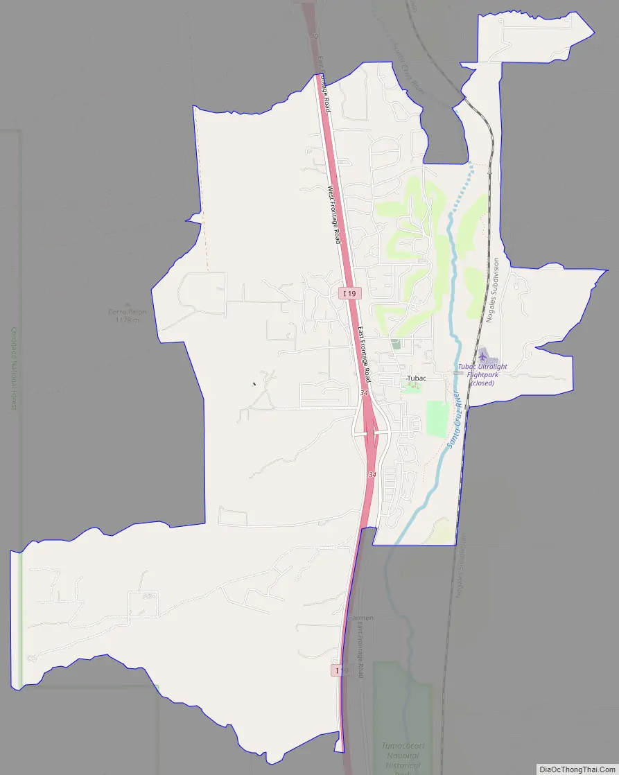
Tubac Road Map
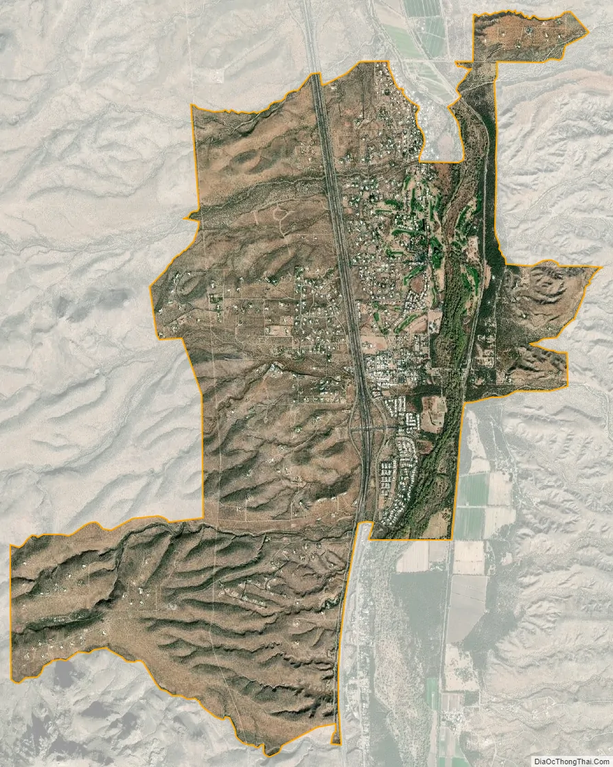
Tubac city Satellite Map
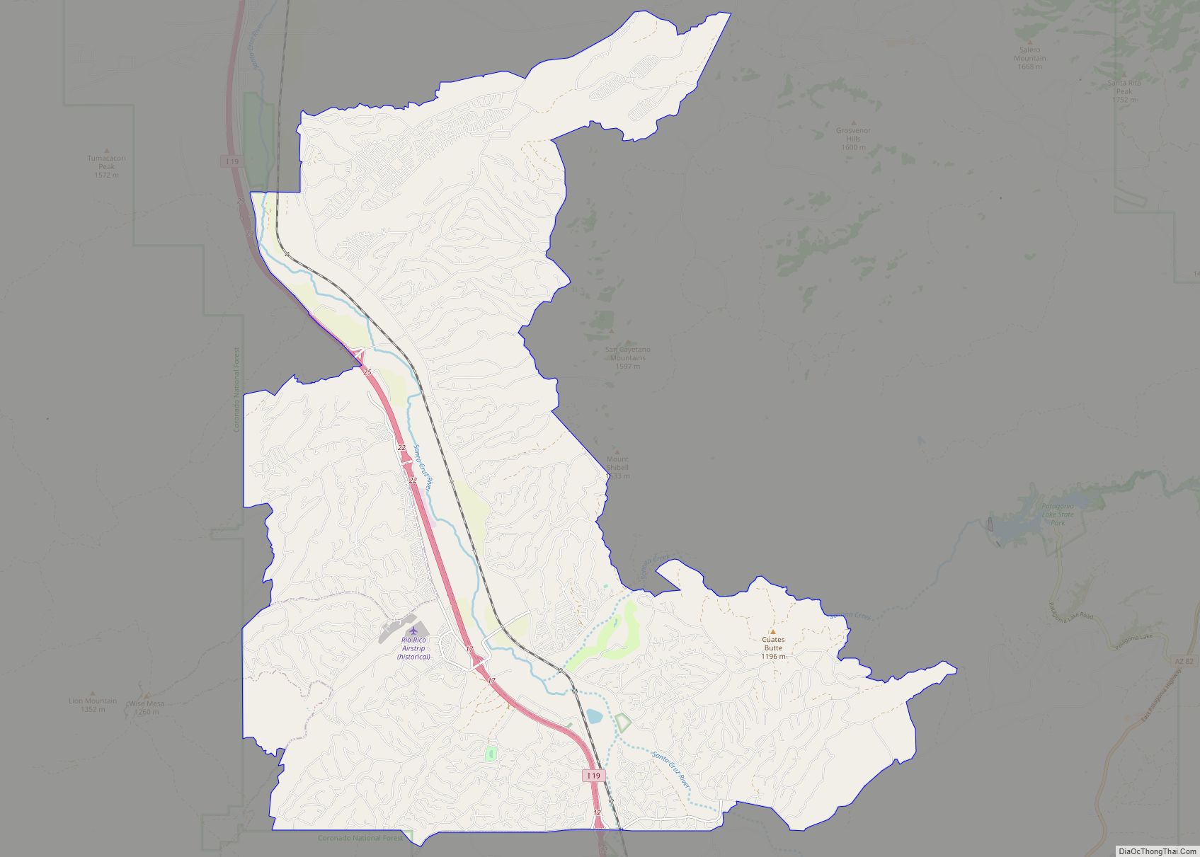
Geography
Tubac is located at 31°37′32″N 111°3′7″W / 31.62556°N 111.05194°W / 31.62556; -111.05194 (31.625462, -111.051921).
According to the United States Census Bureau, the CDP has a total area of 10.8 square miles (28.0 km), all land.
See also
Map of Arizona State and its subdivision: Map of other states:- Alabama
- Alaska
- Arizona
- Arkansas
- California
- Colorado
- Connecticut
- Delaware
- District of Columbia
- Florida
- Georgia
- Hawaii
- Idaho
- Illinois
- Indiana
- Iowa
- Kansas
- Kentucky
- Louisiana
- Maine
- Maryland
- Massachusetts
- Michigan
- Minnesota
- Mississippi
- Missouri
- Montana
- Nebraska
- Nevada
- New Hampshire
- New Jersey
- New Mexico
- New York
- North Carolina
- North Dakota
- Ohio
- Oklahoma
- Oregon
- Pennsylvania
- Rhode Island
- South Carolina
- South Dakota
- Tennessee
- Texas
- Utah
- Vermont
- Virginia
- Washington
- West Virginia
- Wisconsin
- Wyoming