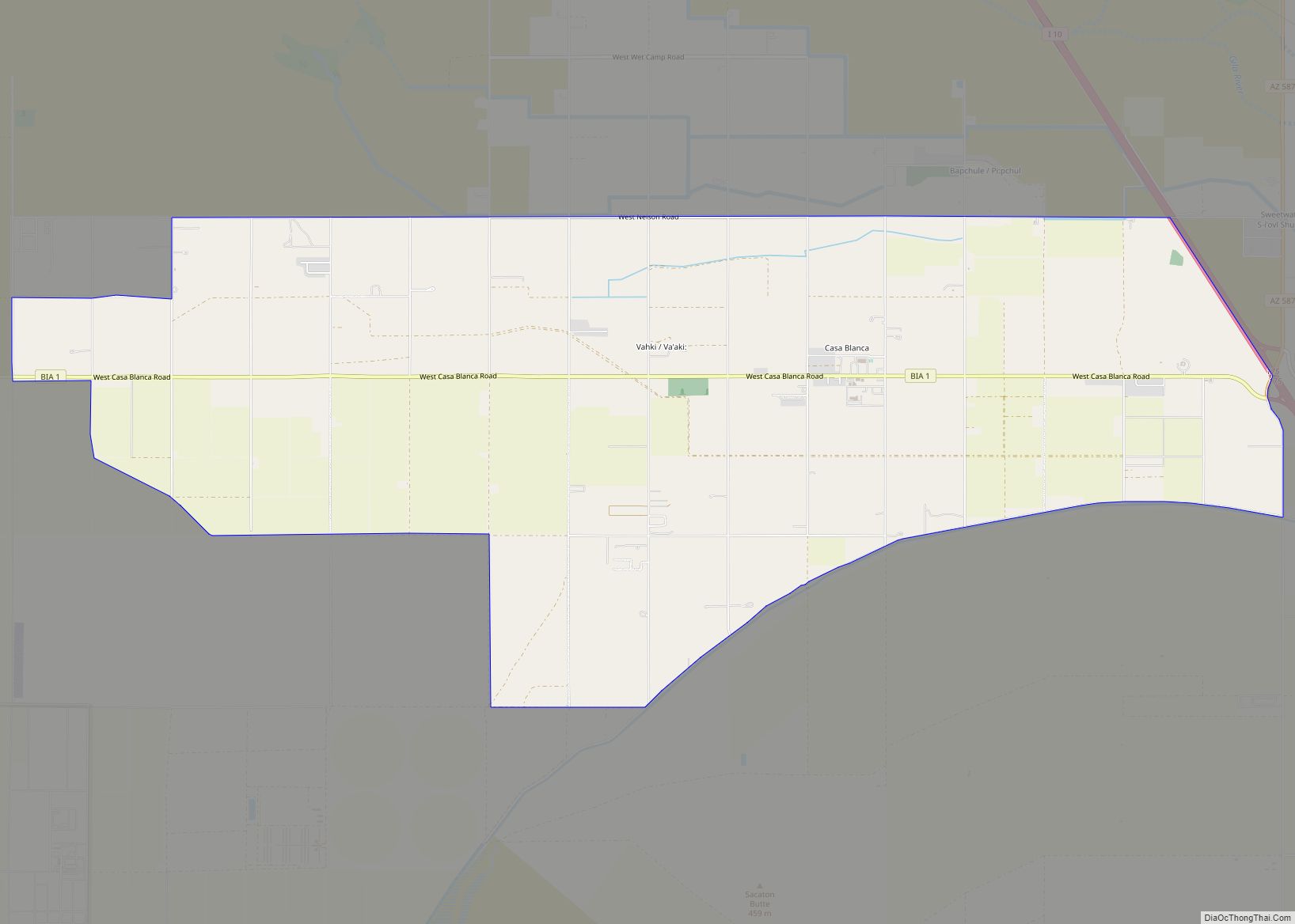
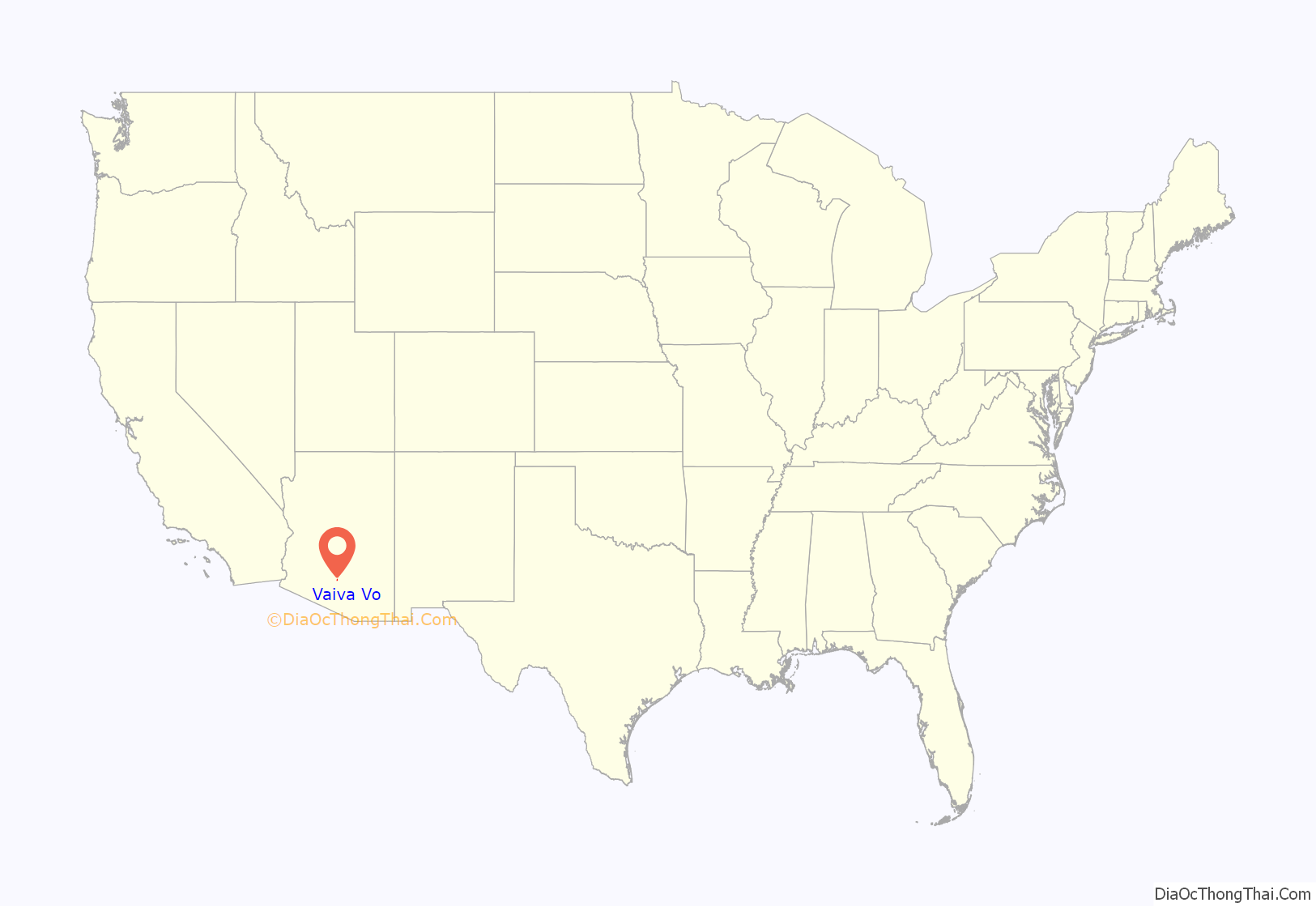
Vaiva Vo (O’odham) name translates as “Cocklebur Pond”, is a census-designated place in Pinal County, in the U.S. state of Arizona. Its population was 93 as of the 2020 census. It is located on the northwestern part of the Tohono O’odham Nation reservation.
| Name: | Vaiva Vo CDP |
|---|---|
| LSAD Code: | 57 |
| LSAD Description: | CDP (suffix) |
| State: | Arizona |
| County: | Pinal County |
| Total Area: | 0.46 sq mi (1.19 km²) |
| Land Area: | 0.46 sq mi (1.19 km²) |
| Water Area: | 0.00 sq mi (0.00 km²) |
| Total Population: | 93 |
| Population Density: | 201.74/sq mi (77.94/km²) |
| ZIP code: | 85193 |
| Area code: | 520 |
| FIPS code: | 0478680 |
Online Interactive Map
Click on ![]() to view map in "full screen" mode.
to view map in "full screen" mode.
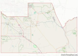
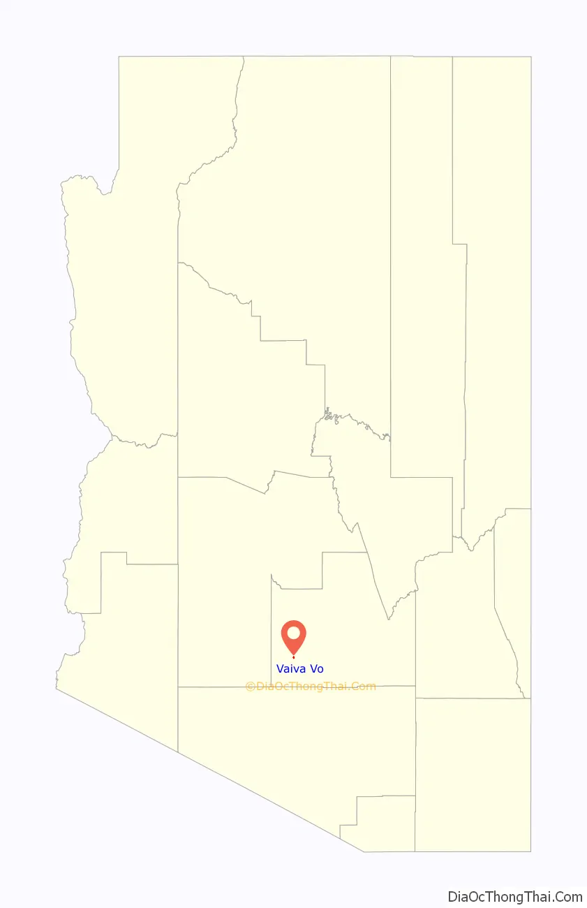
Vaiva Vo location map. Where is Vaiva Vo CDP?
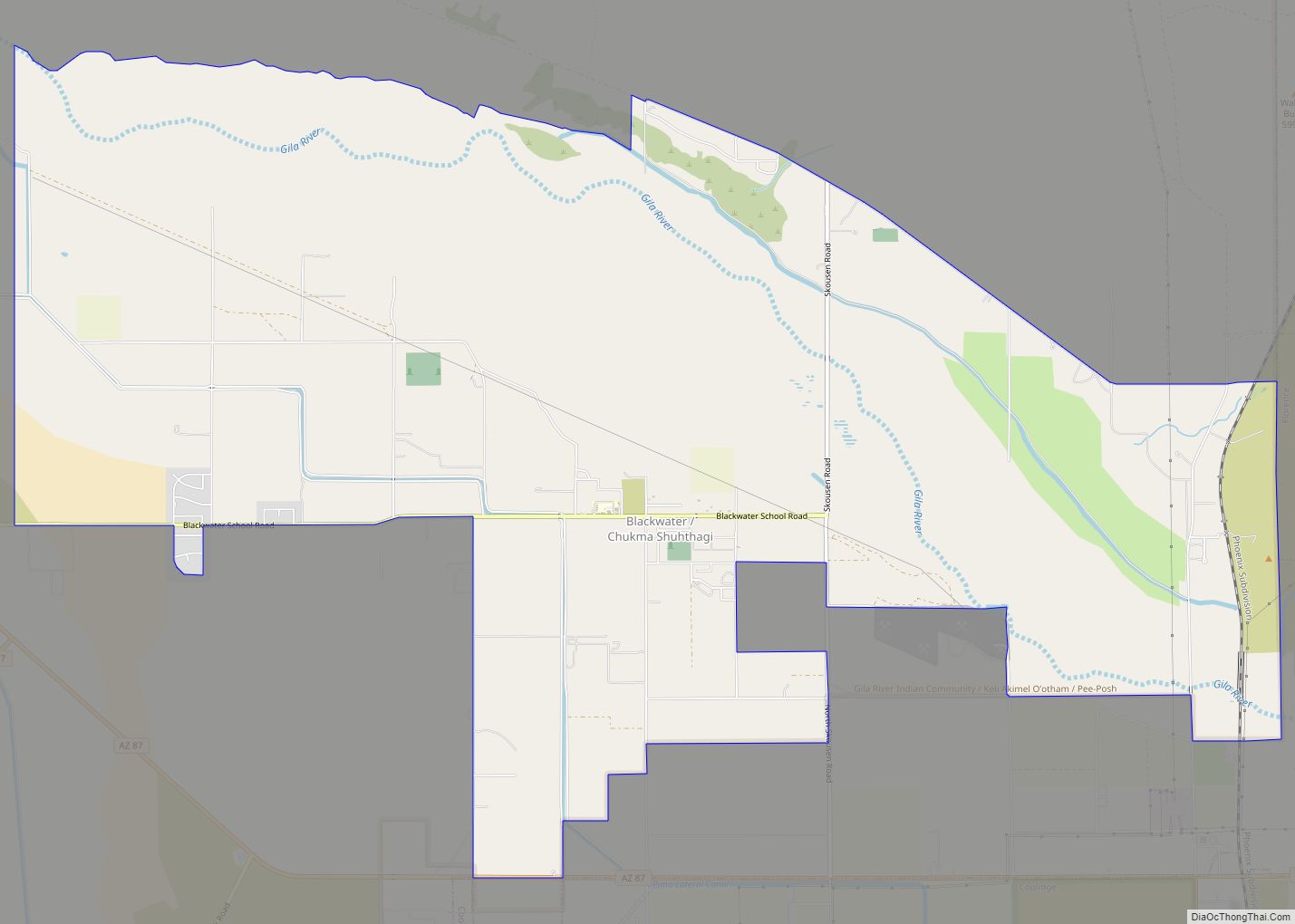
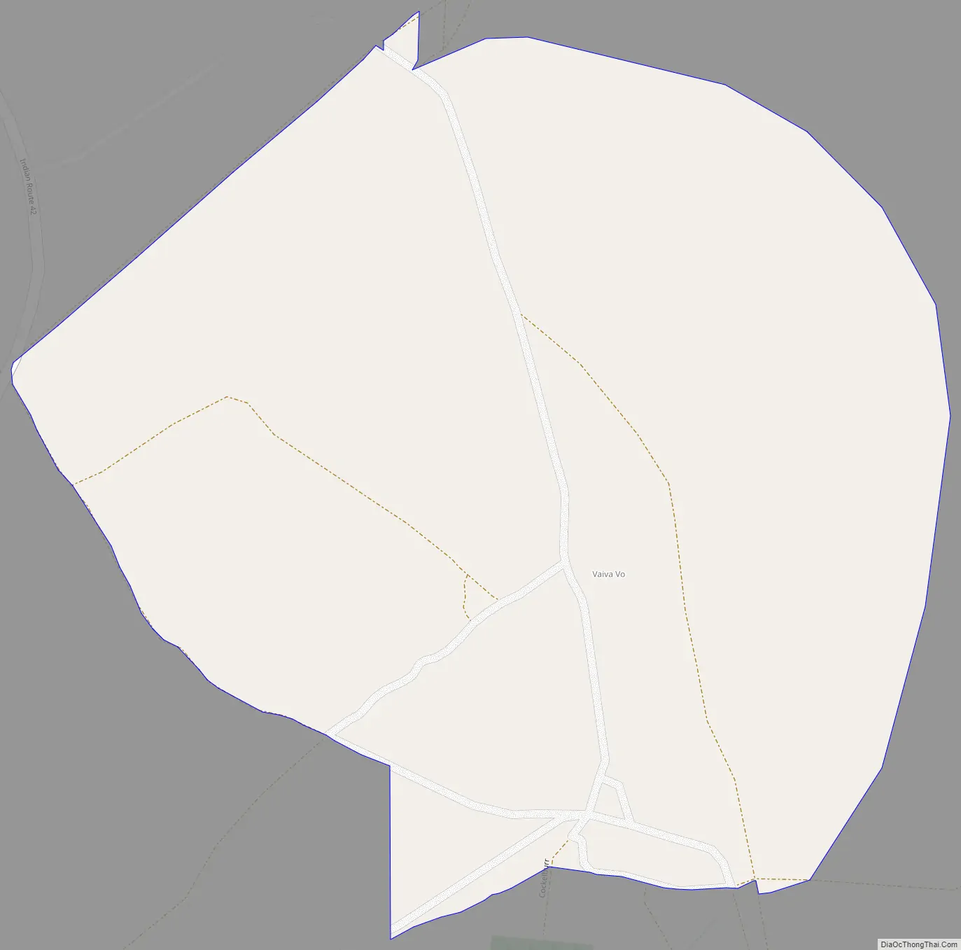
Vaiva Vo Road Map
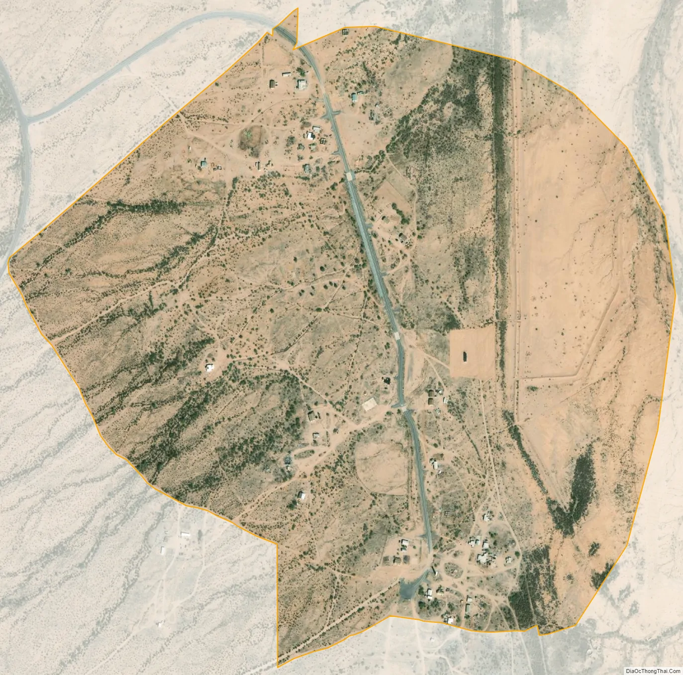
Vaiva Vo city Satellite Map
See also
Map of Arizona State and its subdivision: Map of other states:- Alabama
- Alaska
- Arizona
- Arkansas
- California
- Colorado
- Connecticut
- Delaware
- District of Columbia
- Florida
- Georgia
- Hawaii
- Idaho
- Illinois
- Indiana
- Iowa
- Kansas
- Kentucky
- Louisiana
- Maine
- Maryland
- Massachusetts
- Michigan
- Minnesota
- Mississippi
- Missouri
- Montana
- Nebraska
- Nevada
- New Hampshire
- New Jersey
- New Mexico
- New York
- North Carolina
- North Dakota
- Ohio
- Oklahoma
- Oregon
- Pennsylvania
- Rhode Island
- South Carolina
- South Dakota
- Tennessee
- Texas
- Utah
- Vermont
- Virginia
- Washington
- West Virginia
- Wisconsin
- Wyoming