Winslow West is a census-designated place (CDP) in Coconino and Navajo counties in Arizona, United States. The population was 438 at the 2010 census. The entire community is off-reservation trust land belonging to the Hopi tribe. It lies just west of the city of Winslow, and is more than 50 km (31 mi) south of the main Hopi reservation.
| Name: | Winslow West CDP |
|---|---|
| LSAD Code: | 57 |
| LSAD Description: | CDP (suffix) |
| State: | Arizona |
| County: | Coconino County, Navajo County |
| Elevation: | 4,982 ft (1,519 m) |
| Total Area: | 17.20 sq mi (44.55 km²) |
| Land Area: | 17.20 sq mi (44.54 km²) |
| Water Area: | 0.00 sq mi (0.01 km²) |
| Total Population: | 457 |
| Population Density: | 26.57/sq mi (10.26/km²) |
| FIPS code: | 0483960 |
| GNISfeature ID: | 1853172 |
Online Interactive Map
Click on ![]() to view map in "full screen" mode.
to view map in "full screen" mode.
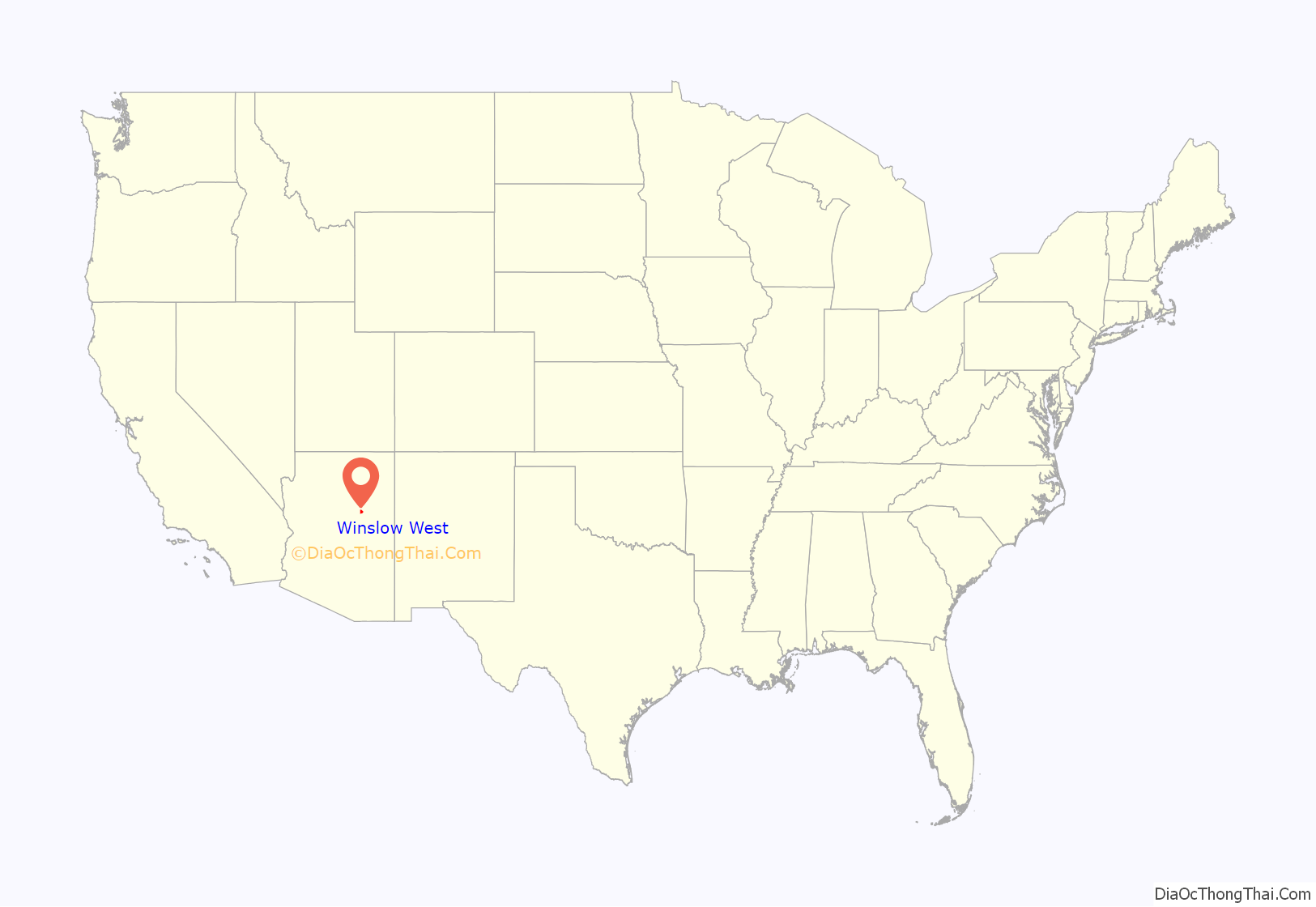
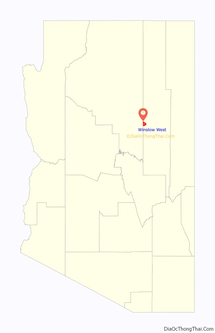
Winslow West location map. Where is Winslow West CDP?
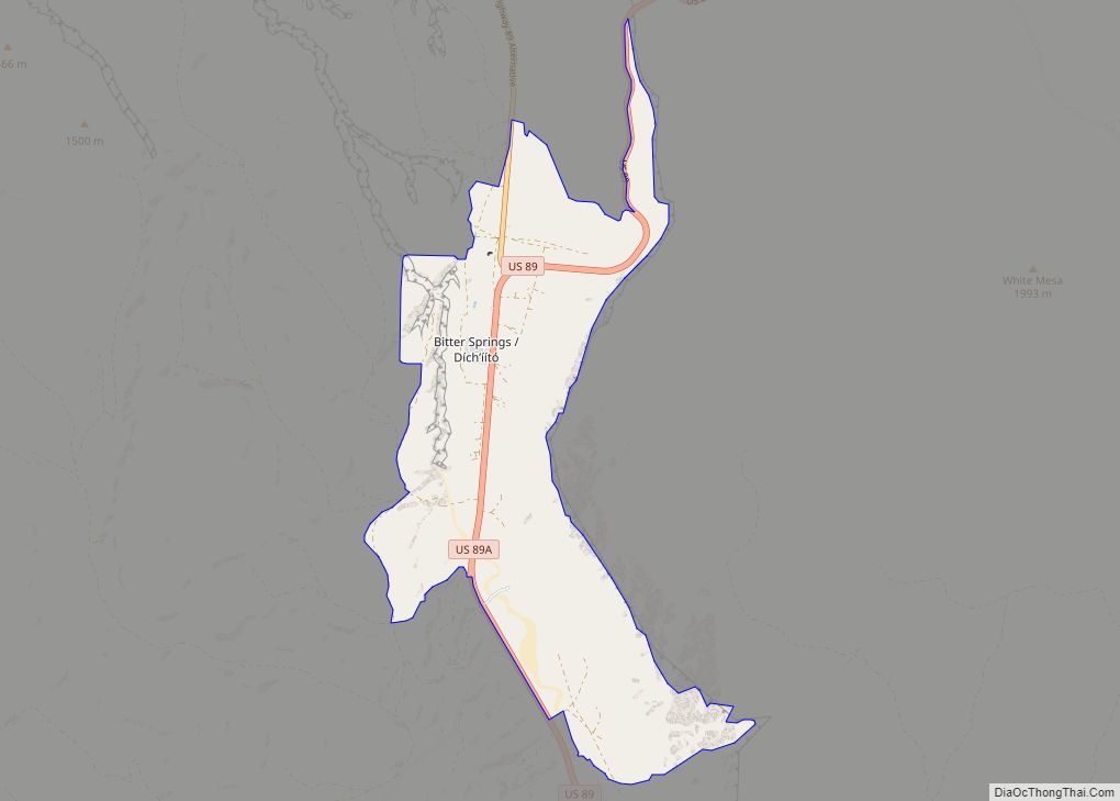
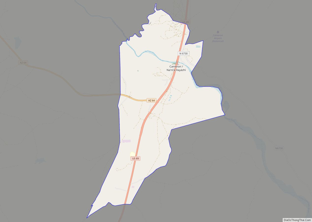
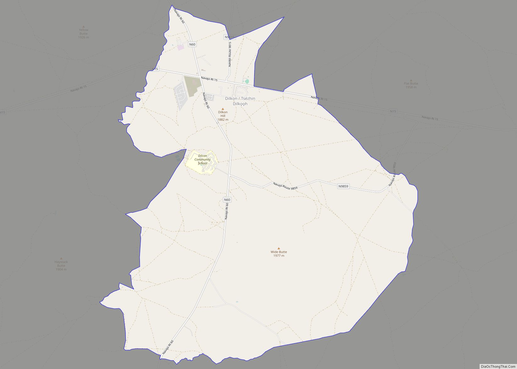
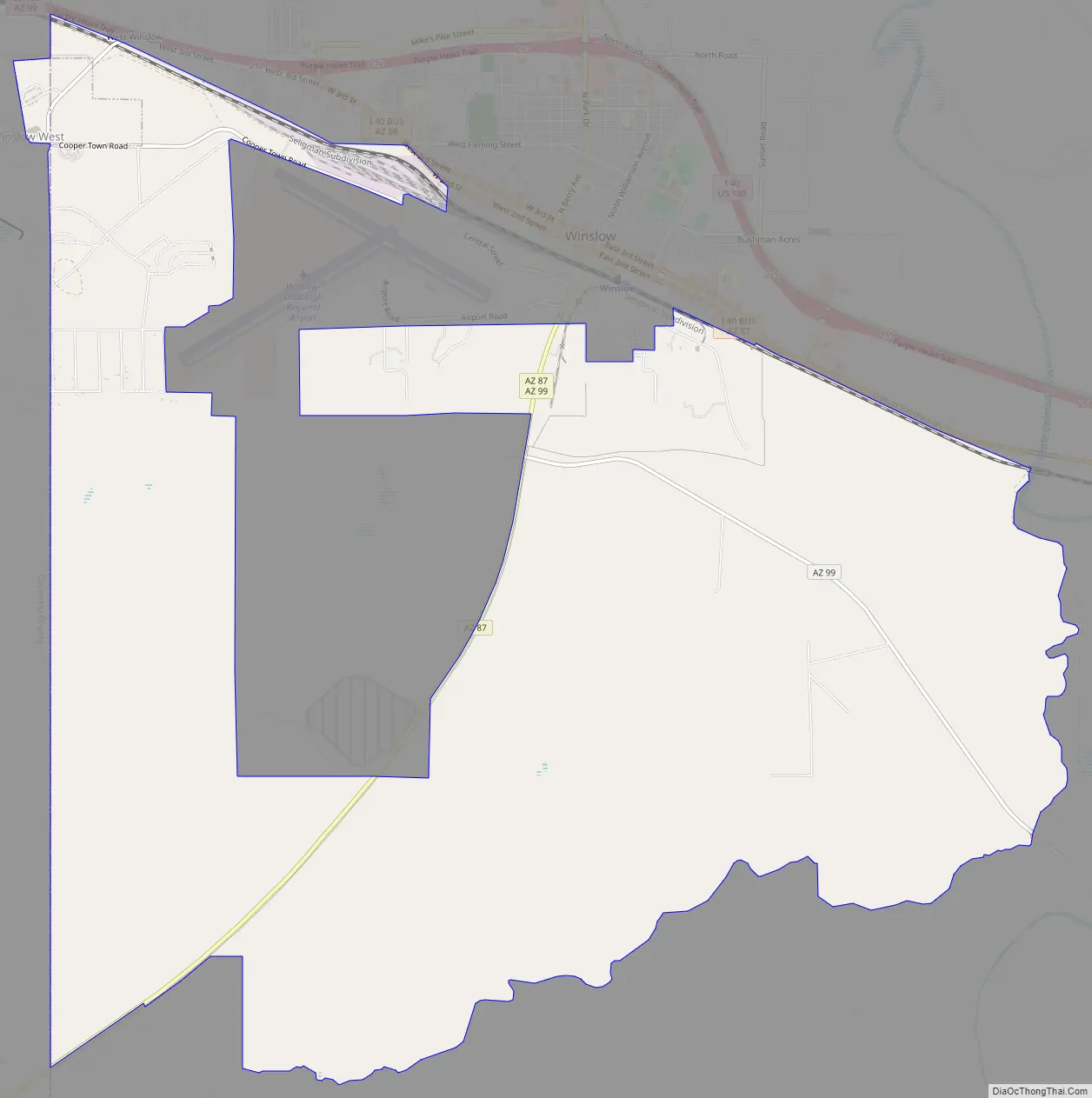
Winslow West Road Map
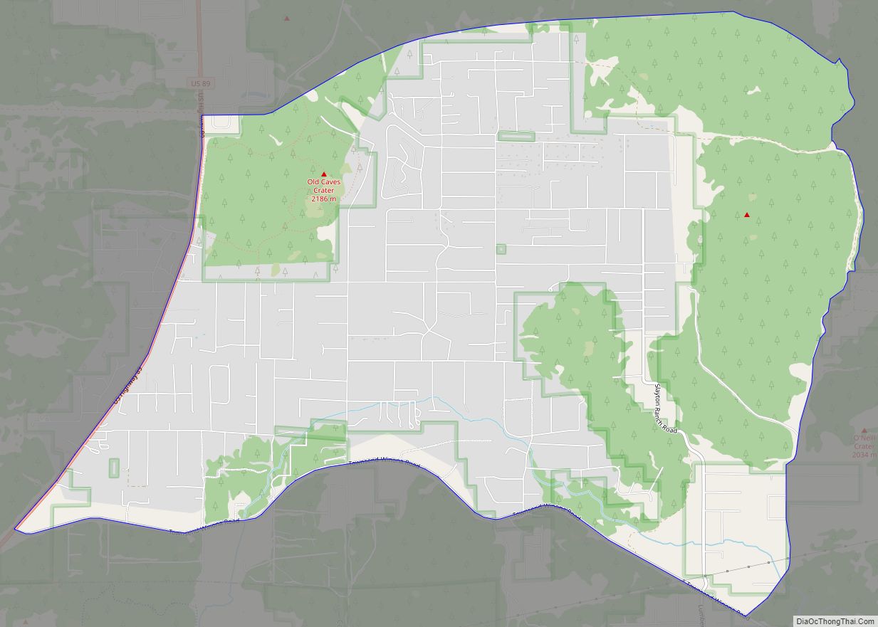
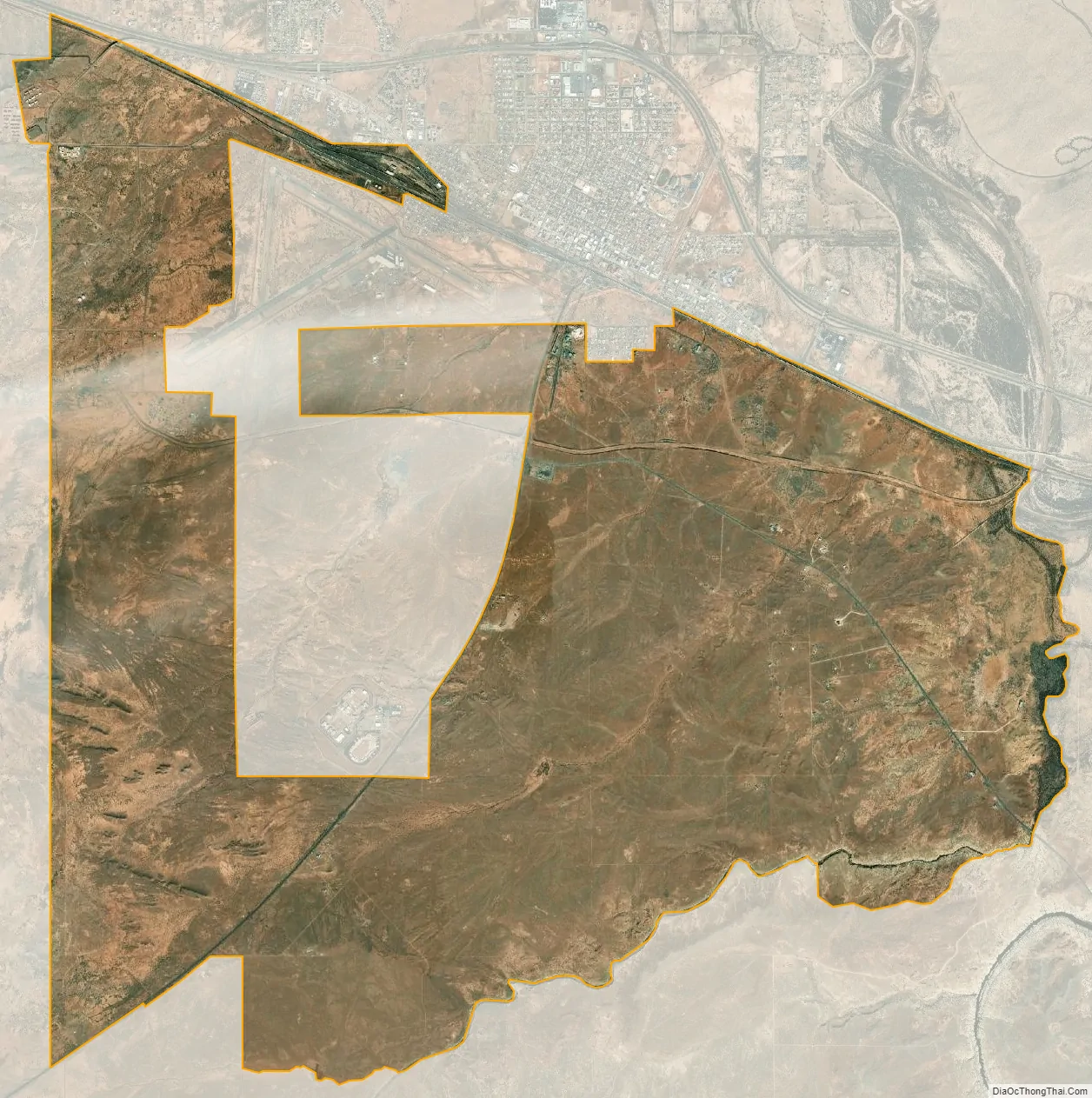
Winslow West city Satellite Map
Geography
Winslow West is located at 35°2′15″N 110°44′56″W / 35.03750°N 110.74889°W / 35.03750; -110.74889 (35.037411, -110.748884).
According to the United States Census Bureau, the CDP has a total area of 17.9 square miles (46.3 km), of which 0.004 square miles (0.01 km), or 0.02%, is water.
See also
Map of Arizona State and its subdivision: Map of other states:- Alabama
- Alaska
- Arizona
- Arkansas
- California
- Colorado
- Connecticut
- Delaware
- District of Columbia
- Florida
- Georgia
- Hawaii
- Idaho
- Illinois
- Indiana
- Iowa
- Kansas
- Kentucky
- Louisiana
- Maine
- Maryland
- Massachusetts
- Michigan
- Minnesota
- Mississippi
- Missouri
- Montana
- Nebraska
- Nevada
- New Hampshire
- New Jersey
- New Mexico
- New York
- North Carolina
- North Dakota
- Ohio
- Oklahoma
- Oregon
- Pennsylvania
- Rhode Island
- South Carolina
- South Dakota
- Tennessee
- Texas
- Utah
- Vermont
- Virginia
- Washington
- West Virginia
- Wisconsin
- Wyoming