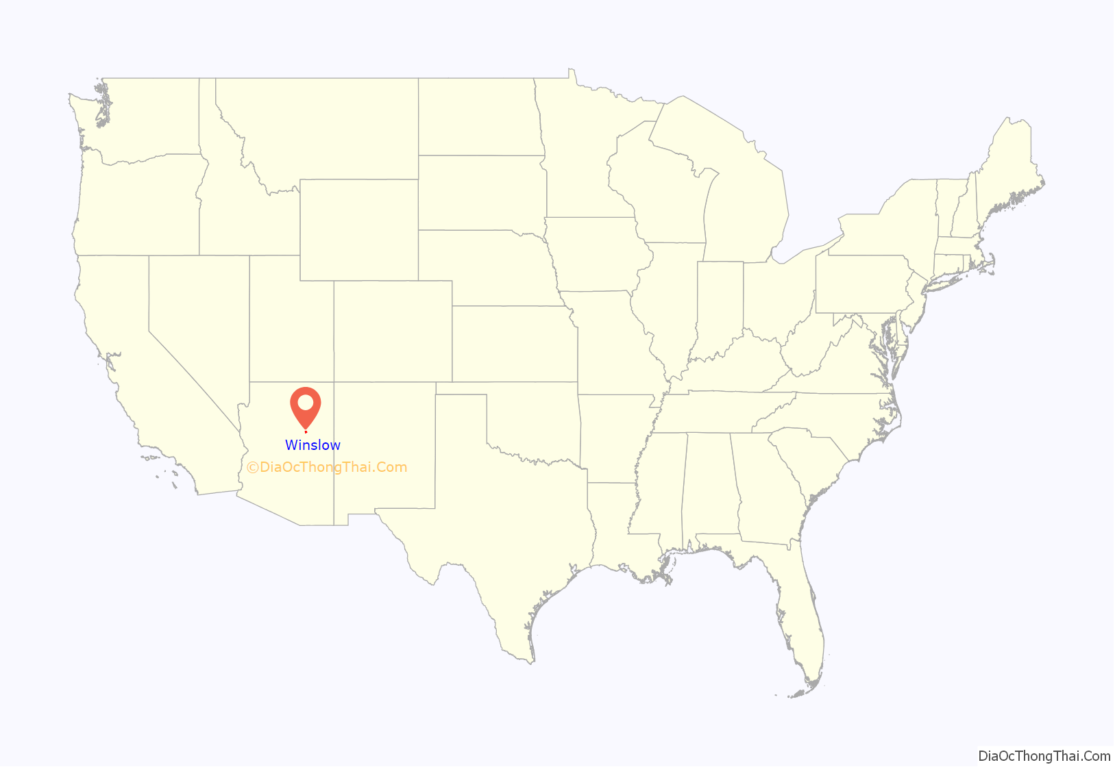
Winslow (Navajo: Béésh Sinil) is a city in Navajo County, Arizona, United States. According to the 2010 census, the population of the city is 9,655. It is approximately 57 miles (92 km) southeast of Flagstaff, 240 miles (390 km) west of Albuquerque, New Mexico, and 329 miles (529 km) southeast of Las Vegas.
| Name: | Winslow city |
|---|---|
| LSAD Code: | 25 |
| LSAD Description: | city (suffix) |
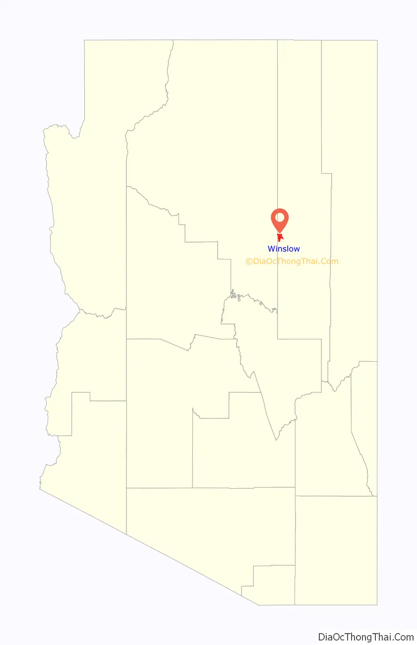
| State: | Arizona |
| County: | Navajo County |
| Incorporated: | 1900 |
| Elevation: | 4,869 ft (1,484 m) |
| Total Area: | 13.04 sq mi (33.78 km²) |
| Land Area: | 12.99 sq mi (33.64 km²) |
| Water Area: | 0.05 sq mi (0.14 km²) |
| Total Population: | 9,005 |
| Population Density: | 693/sq mi (268/km²) |
| ZIP code: | 86047 |
| Area code: | 928 |
| FIPS code: | 0483930 |
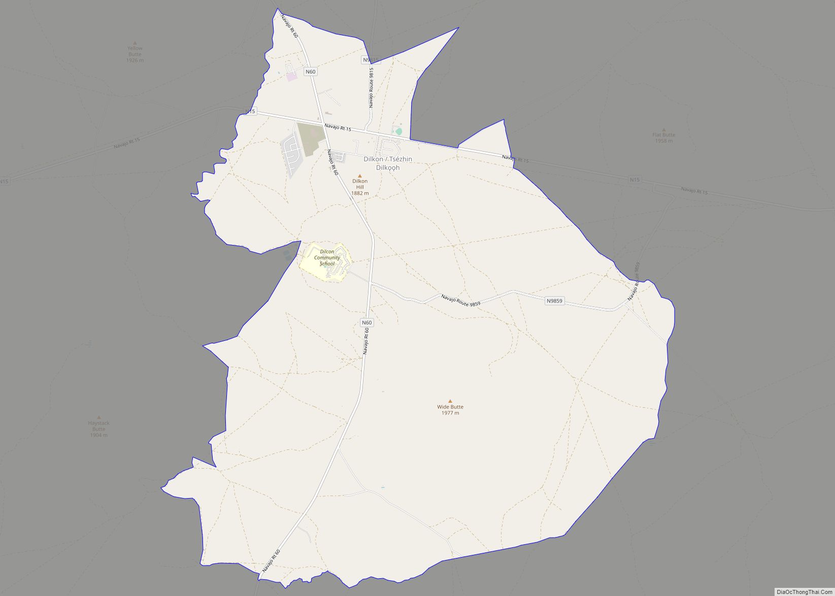
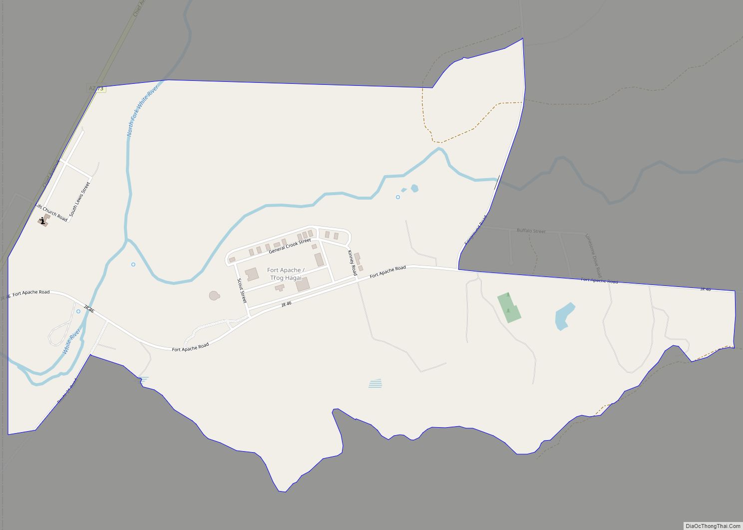
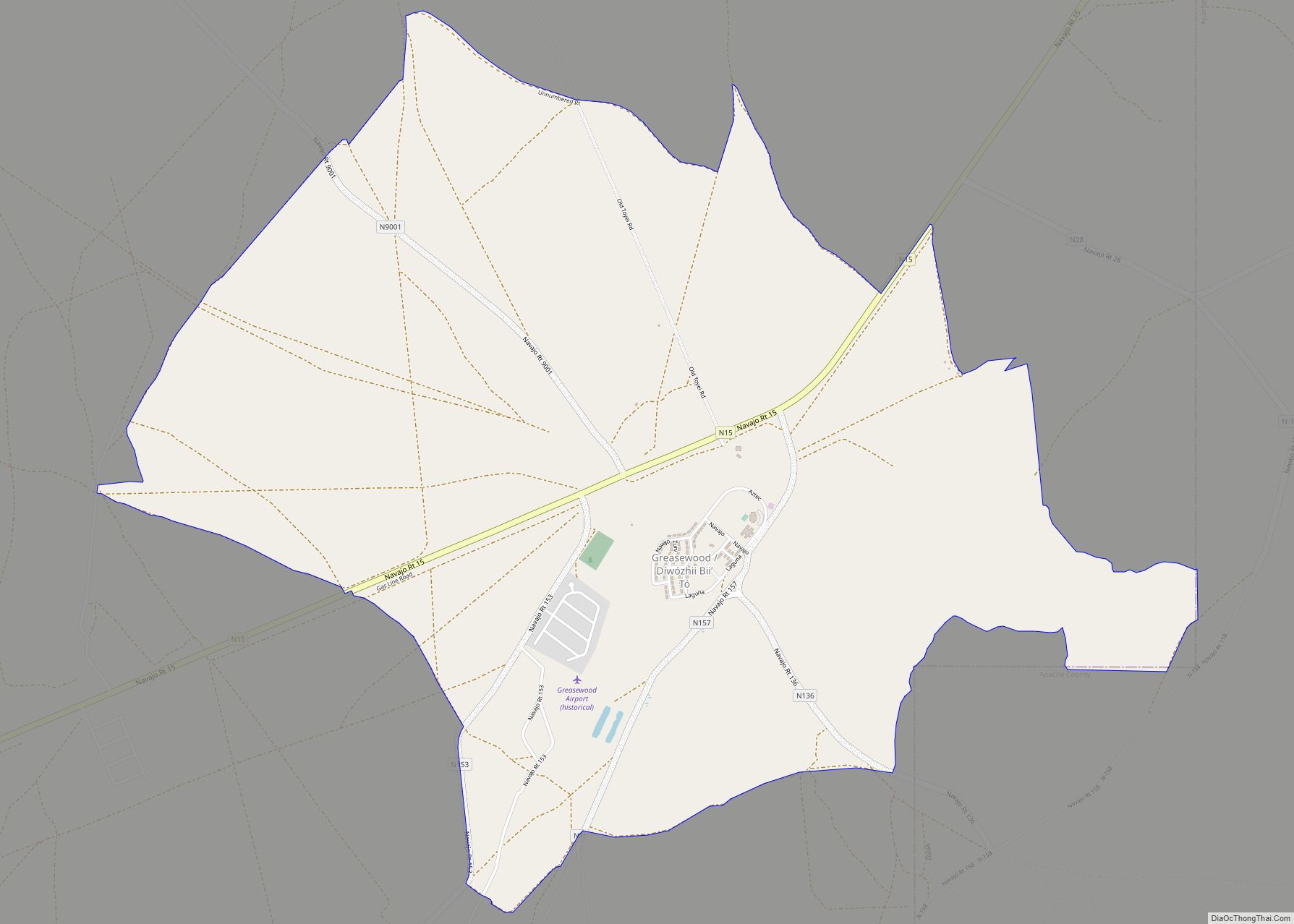
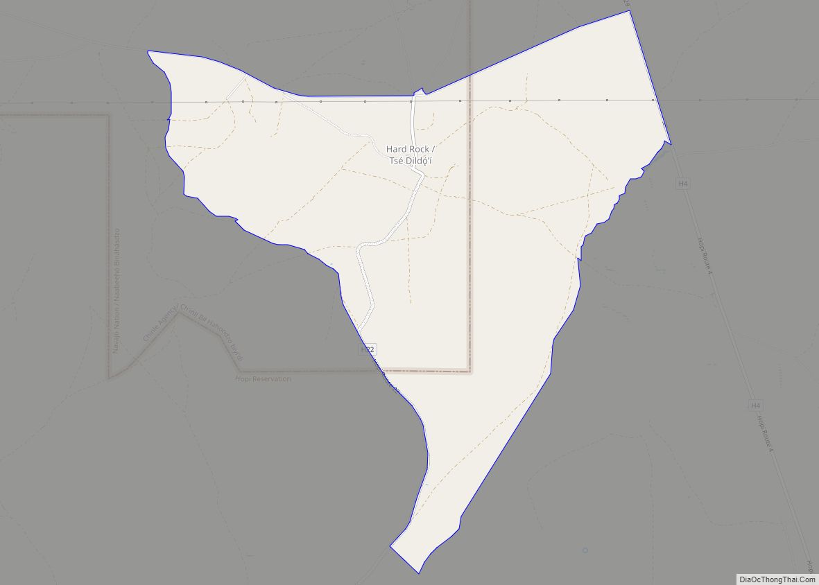
Online Interactive Map
Click on ![]() to view map in "full screen" mode.
to view map in "full screen" mode.
Winslow location map. Where is Winslow city?
History
Winslow was named for either Edward F. Winslow, president of St. Louis and San Francisco Rail Road, which owned half of the old Atlantic and Pacific Railroad, or Tom Winslow, a prospector who lived in the area.
The chain’s final Harvey House, designed by Mary Colter, opened in 1930. It closed in 1957 and was used by the Santa Fe Railway for offices. The railroad abandoned the property in 1994 and announced plans to tear it down. However, it was bought and restored by Allan Affeldt and now is known as the La Posada Hotel.
U.S. Route 66 originally passed through the city. A contract to build Interstate 40 as a bypass north of Winslow was awarded at the end of 1977. I-40 replaced U.S. Route 66 in Arizona in its entirety.
Winslow achieved national fame in 1972 in the Eagles / Jackson Browne song “Take It Easy” that has the line “standin’ on a corner in Winslow, Arizona.”
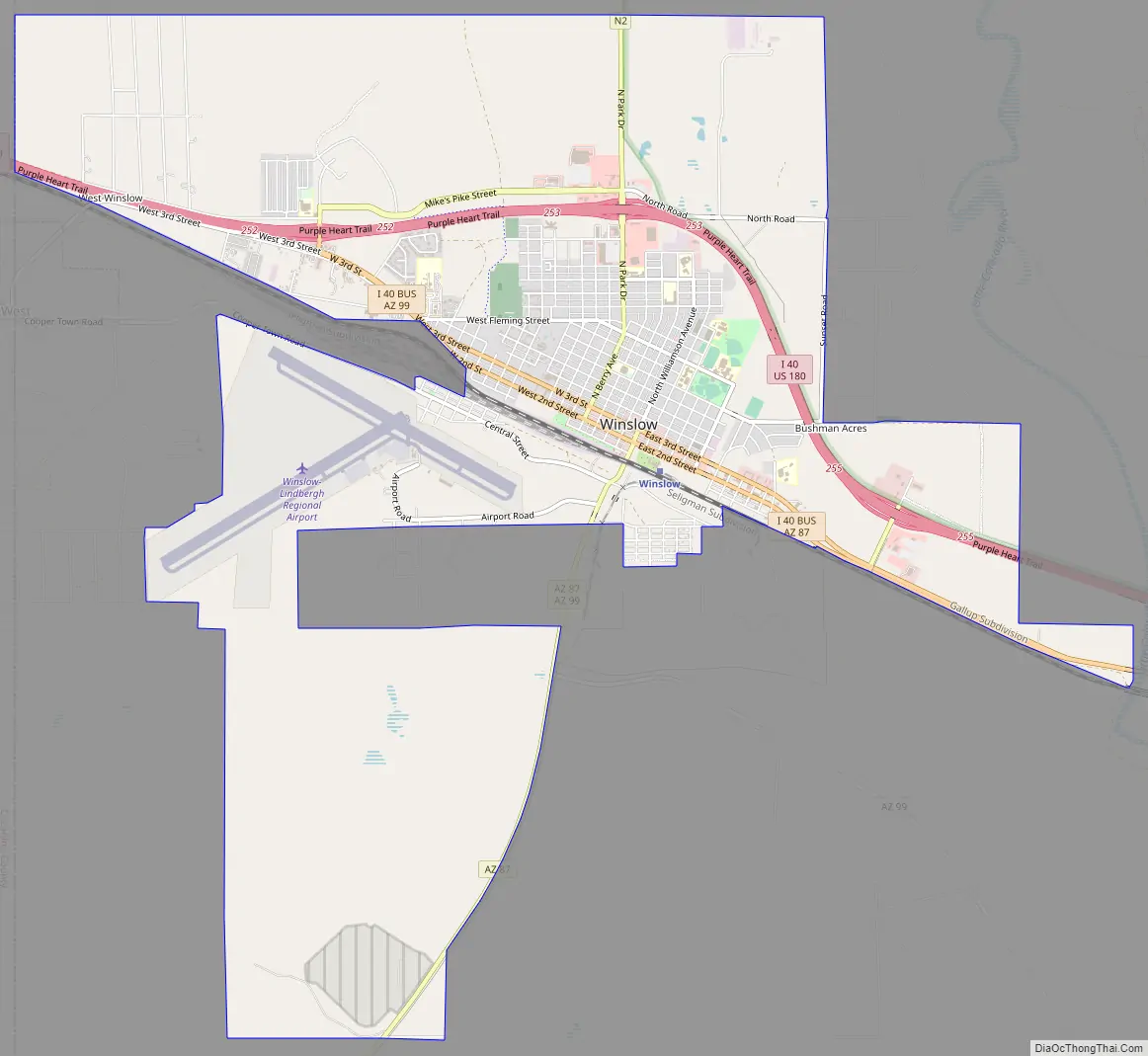
Winslow Road Map
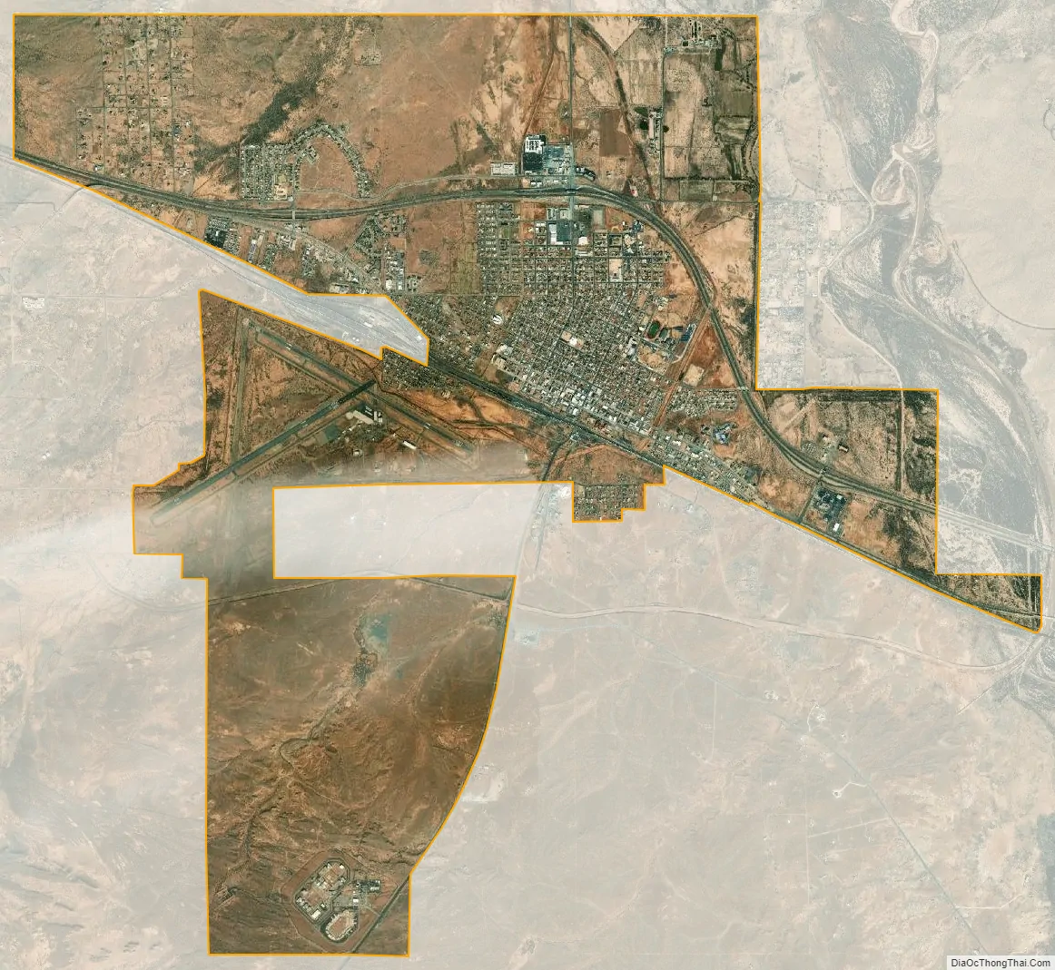
Winslow city Satellite Map
Geography
Winslow is at 35°1′43″N 110°42′3″W / 35.02861°N 110.70083°W / 35.02861; -110.70083 (35.028482, −110.700782). According to the United States Census Bureau, the city has an area of 12.3 square miles (32 km), all land. It is approximately 57 miles (92 km) southeast of Flagstaff, 320 miles (510 km) west of Albuquerque, New Mexico, and 329 miles (529 km) southeast of Las Vegas.
Winslow experiences a dry, temperate arid climate (Köppen BWk), with a wide diurnal temperature variation year-round, averaging 32.7 °F (0.4 °C). Winters are cool and dry, while summers are hot, and bringing the largest portion of the annual precipitation, which is 7.01 inches (178 mm); snowfall averages 8.1 inches (21 cm) per season (July 1 through June 30 of the subsequent year).
See also
Map of Arizona State and its subdivision: Map of other states:- Alabama
- Alaska
- Arizona
- Arkansas
- California
- Colorado
- Connecticut
- Delaware
- District of Columbia
- Florida
- Georgia
- Hawaii
- Idaho
- Illinois
- Indiana
- Iowa
- Kansas
- Kentucky
- Louisiana
- Maine
- Maryland
- Massachusetts
- Michigan
- Minnesota
- Mississippi
- Missouri
- Montana
- Nebraska
- Nevada
- New Hampshire
- New Jersey
- New Mexico
- New York
- North Carolina
- North Dakota
- Ohio
- Oklahoma
- Oregon
- Pennsylvania
- Rhode Island
- South Carolina
- South Dakota
- Tennessee
- Texas
- Utah
- Vermont
- Virginia
- Washington
- West Virginia
- Wisconsin
- Wyoming